
Quick report
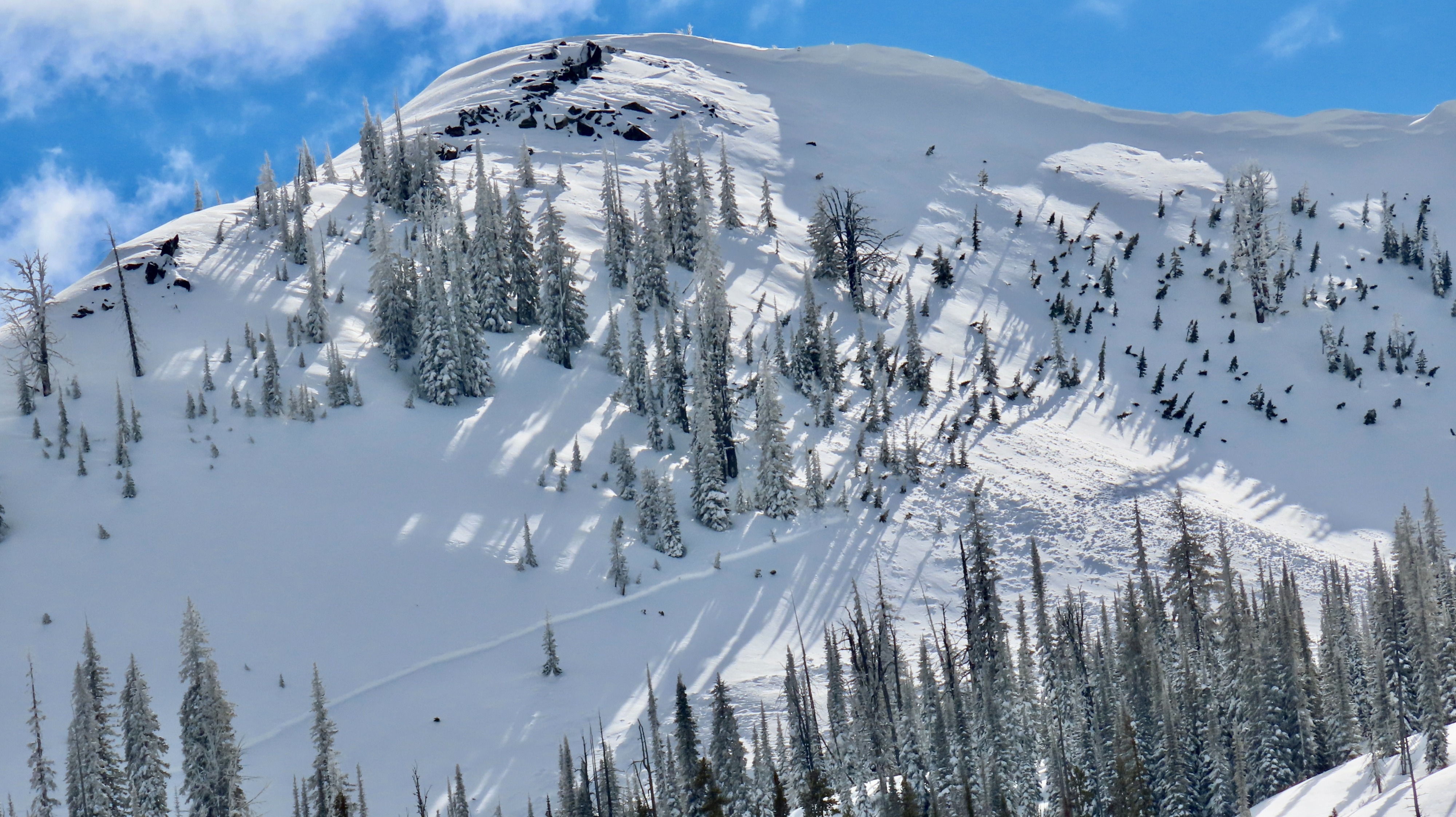
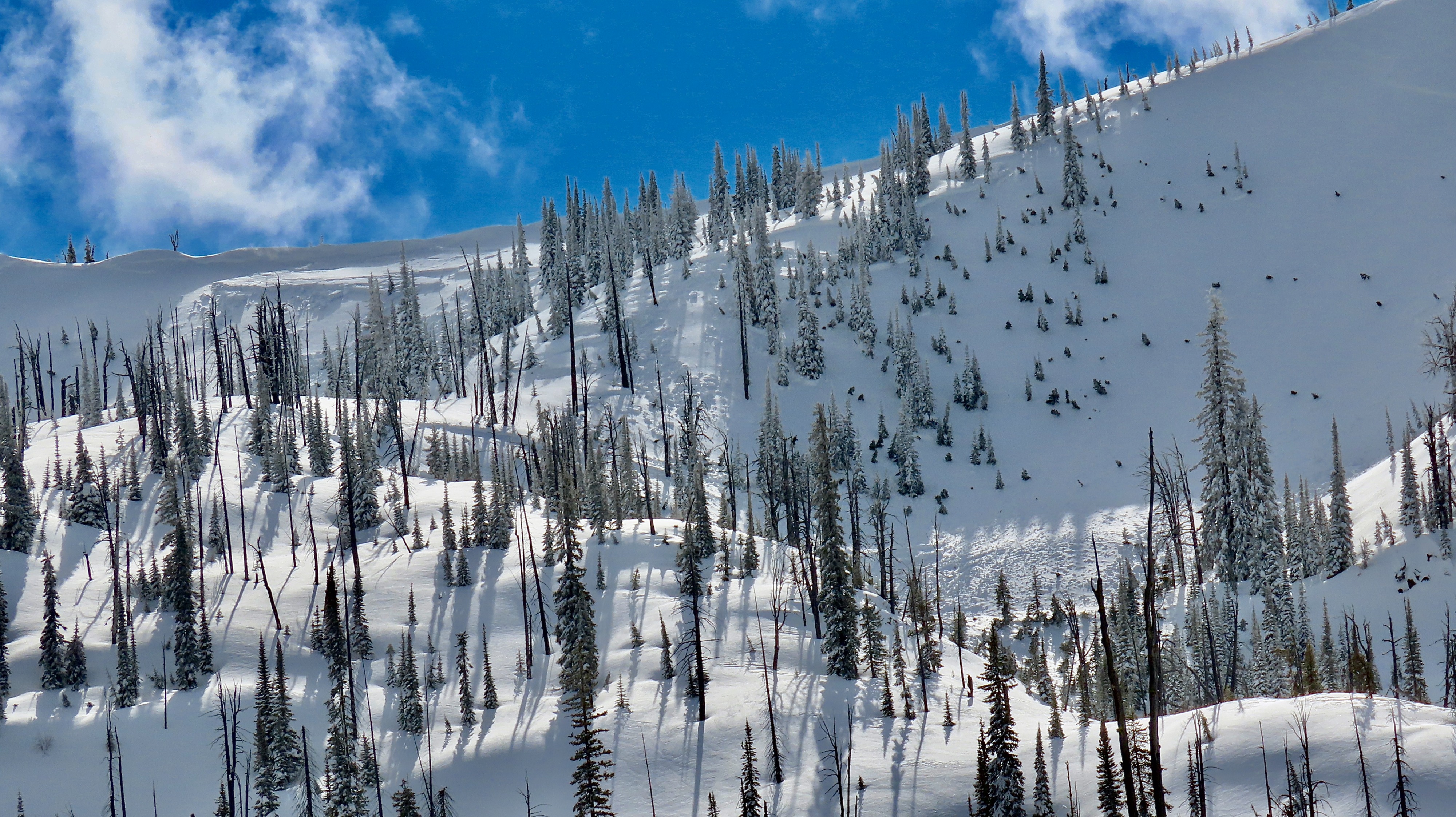
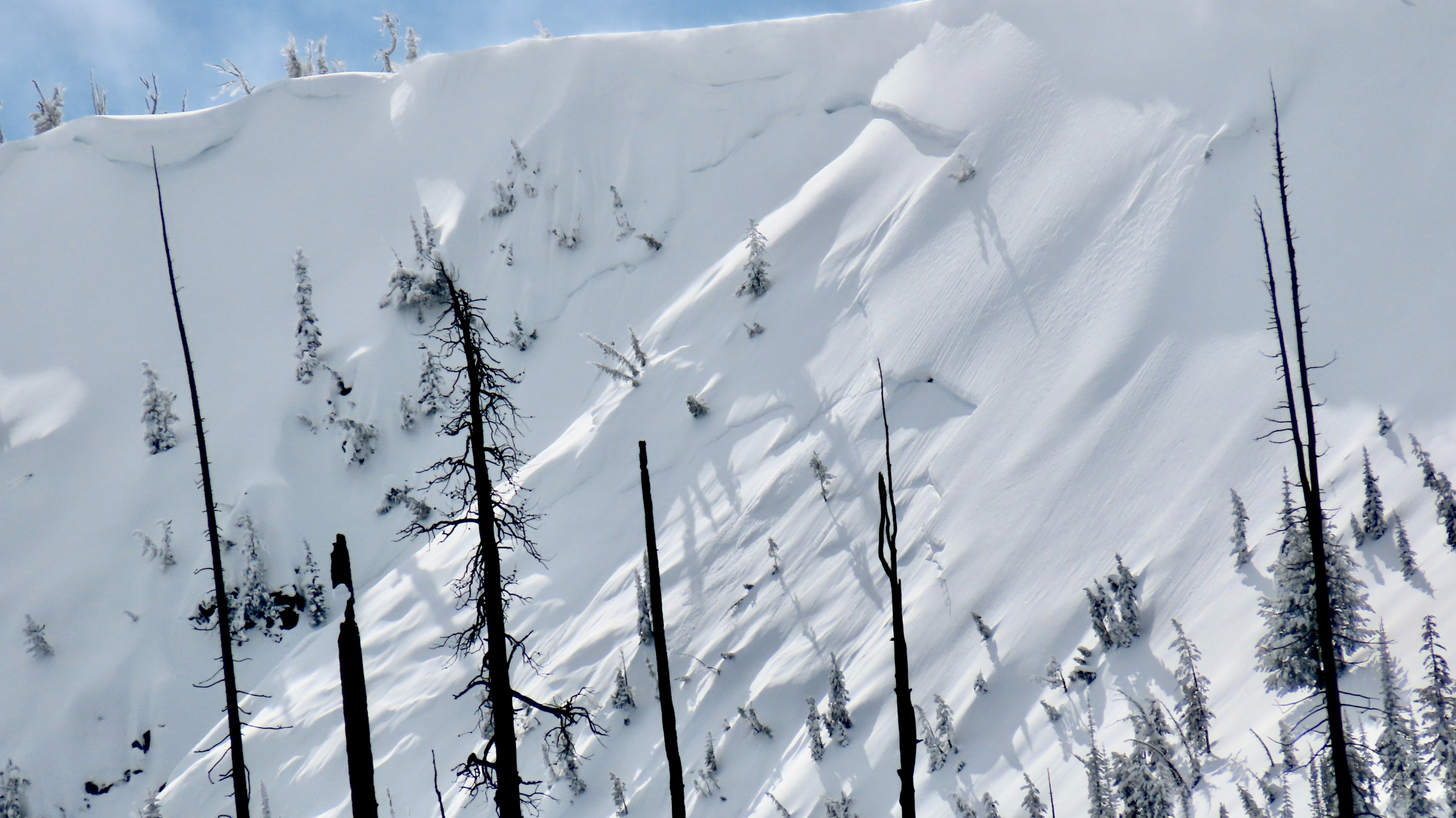
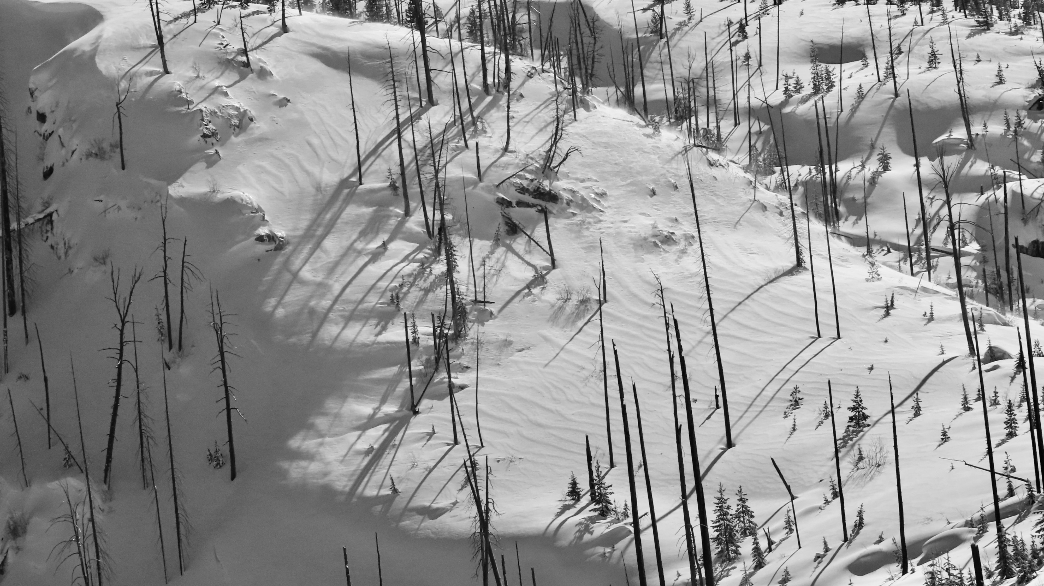
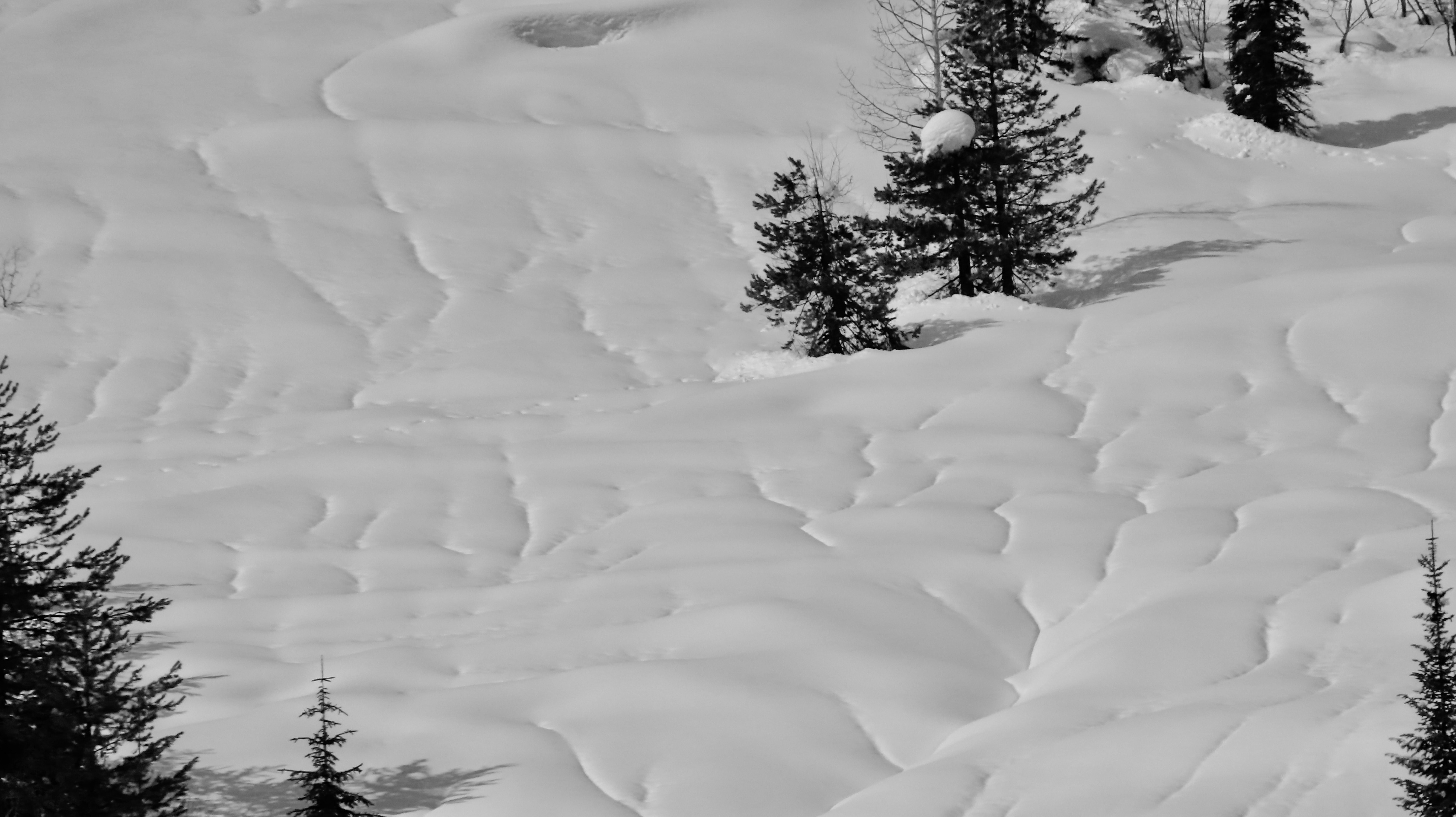
Recently, snowfall has formed a hefty slab at middle and upper elevations. This slab remains soft, and wind-affected areas that see sun tomorrow (2/26) will remain prone to avalanching if given a trigger in the right spot. Visible wind-effect everywhere (see photo below).
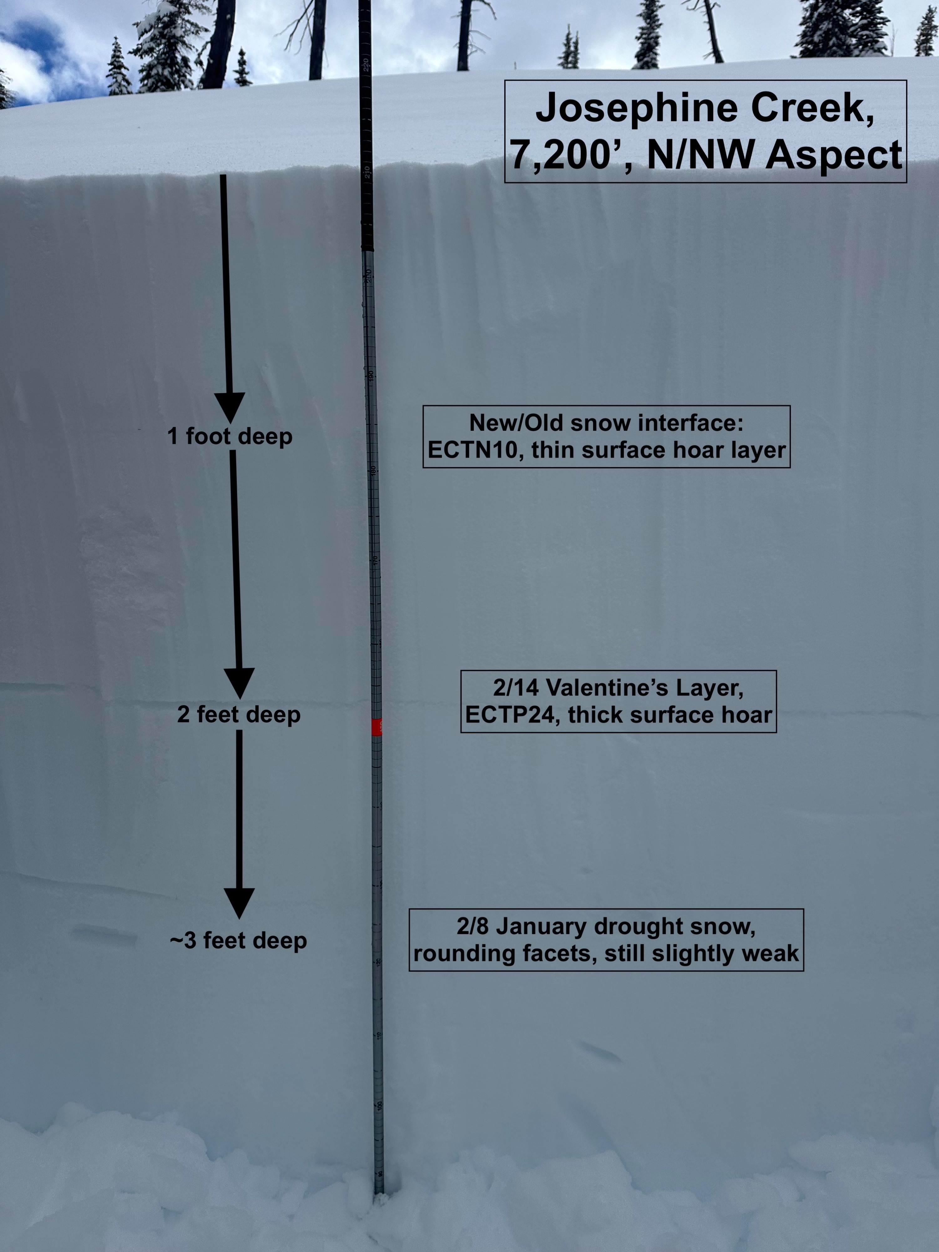
New/old snow interface on a N/NE aspect ~7,200 was surface hoar; in addition, 2/14 was a fat, clearly preserved layer of surface hoar with high strength, but propagated (ECTP24). Slab fractured in the first ECT and was about 1F- in hardness, implying that a harder slab in more winded areas is capable of supporting fracture.
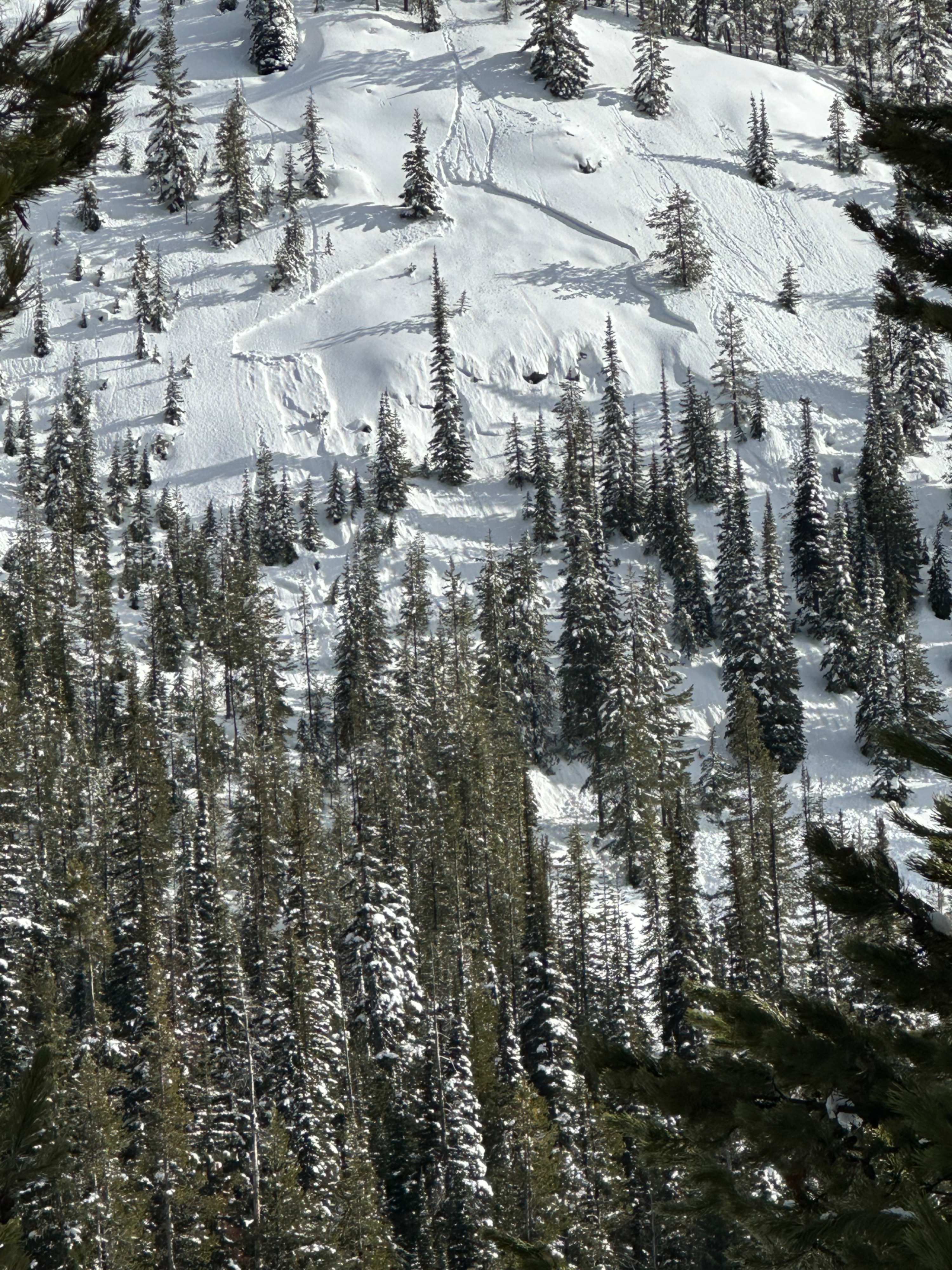
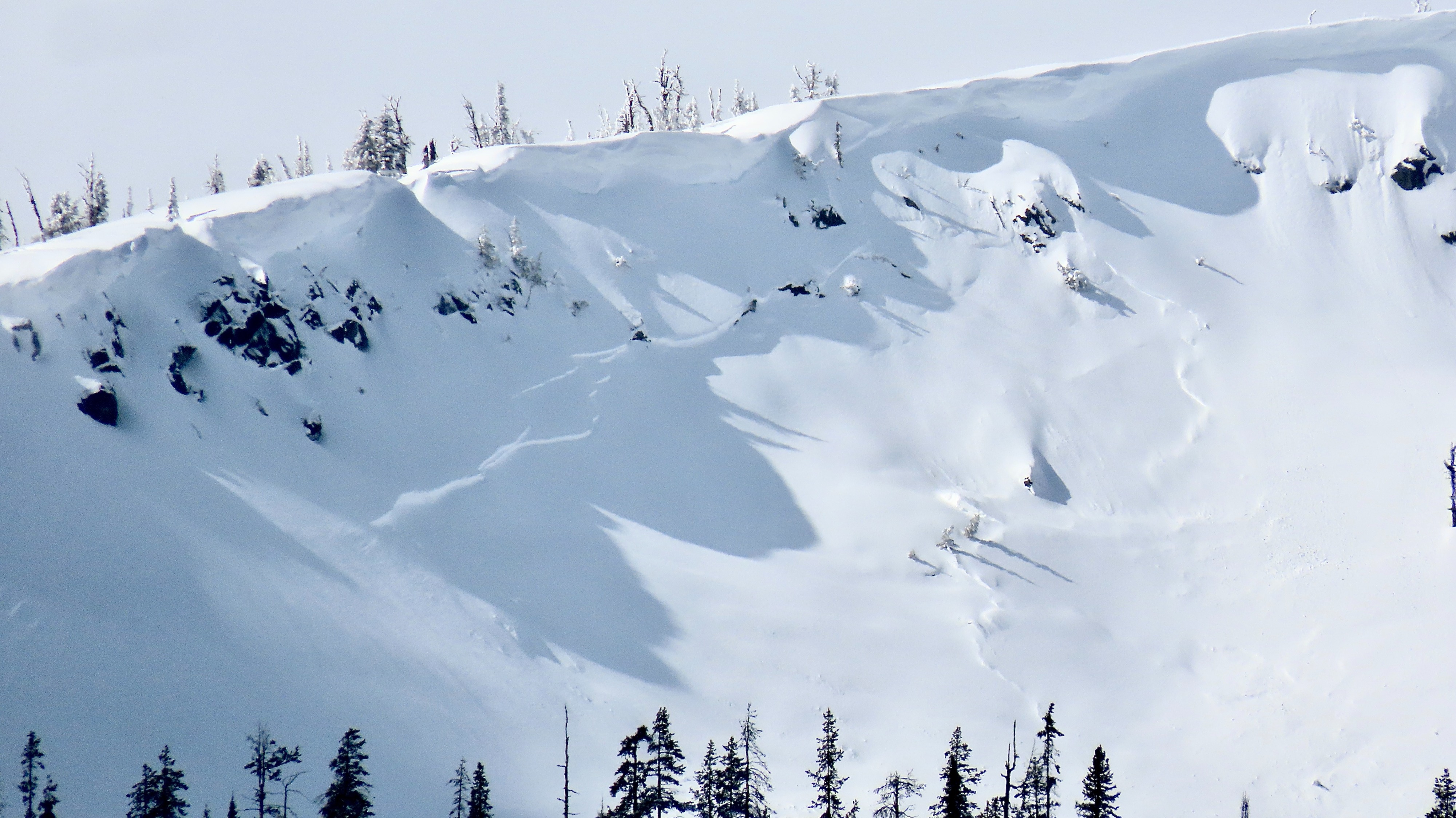
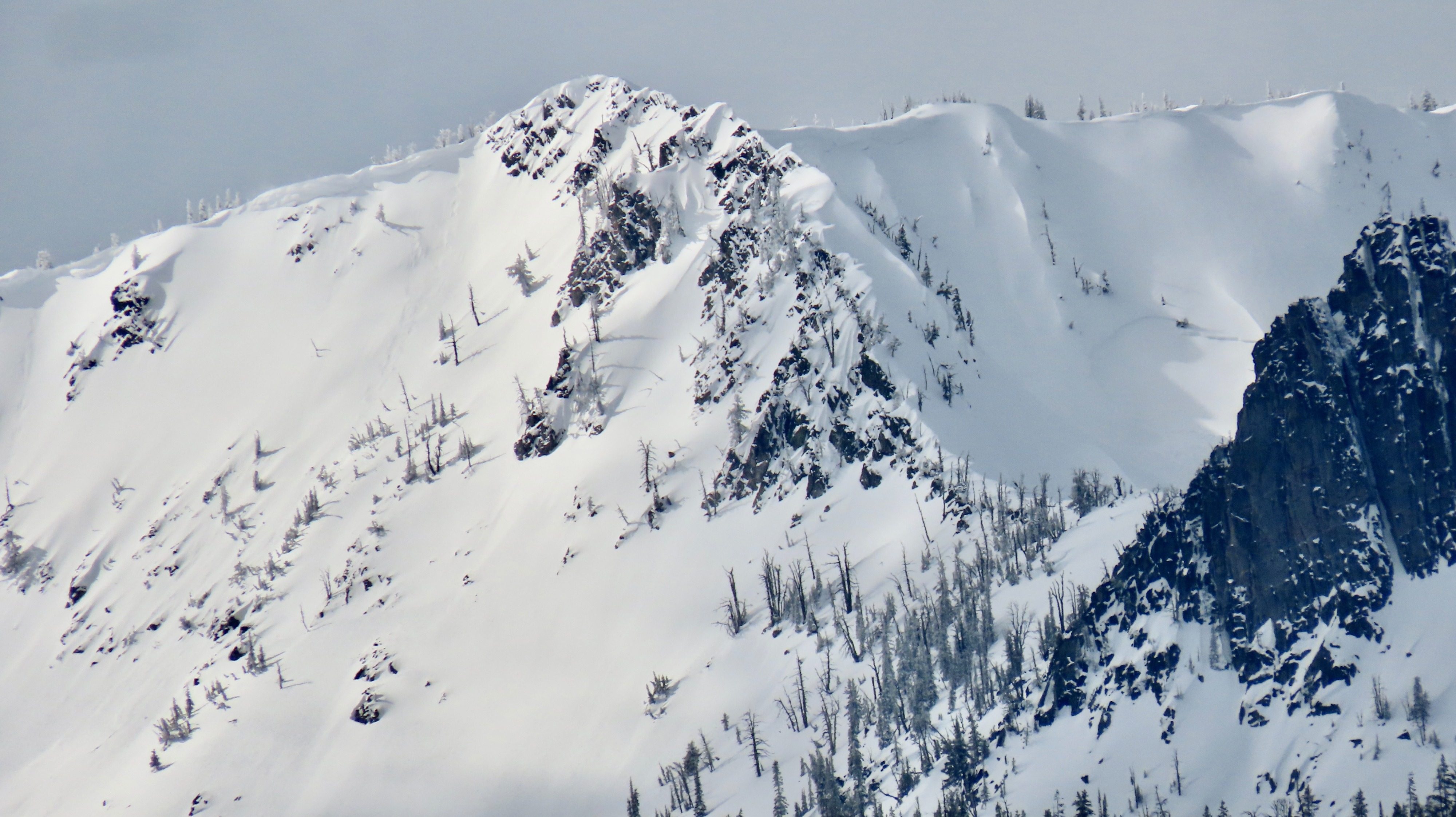
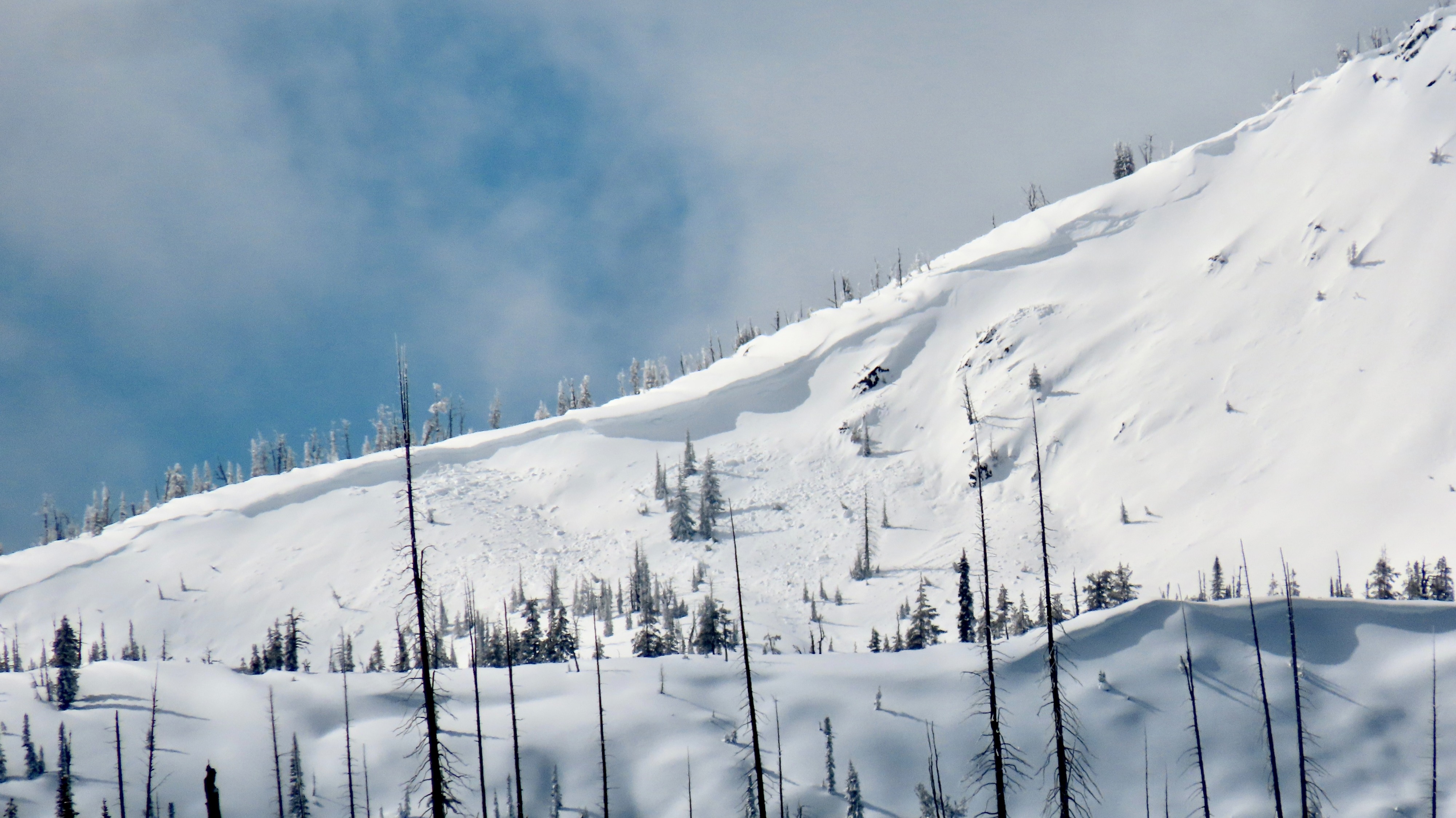
Noted avalanches breaking on the new/old snow interface, as well as step-down activity to 2/14 and/or 2/8.Weather
- Cloud Cover
- few
- Wind Loading
- moderate
- Rain Elevation
- 7,000
- Snow Avail For Transport
- moderate amounts
Skies clearing earlier than expected; near constant sunshine from 9 AM onward, before a few high clouds accumulated back in the late afternoon.
Avalanche
- Size
- D2.5 R2
- Count
- 8
- Aspect
- NE
- Trigger
- N
- Elevation
- 7900 ft
Widespread avalanche activity at upper elevations from 2/24. Activity ranging from a few solar-triggered D1s at lower elevations to multiple D2/D3 at middle and upper elevations.