
Quick report
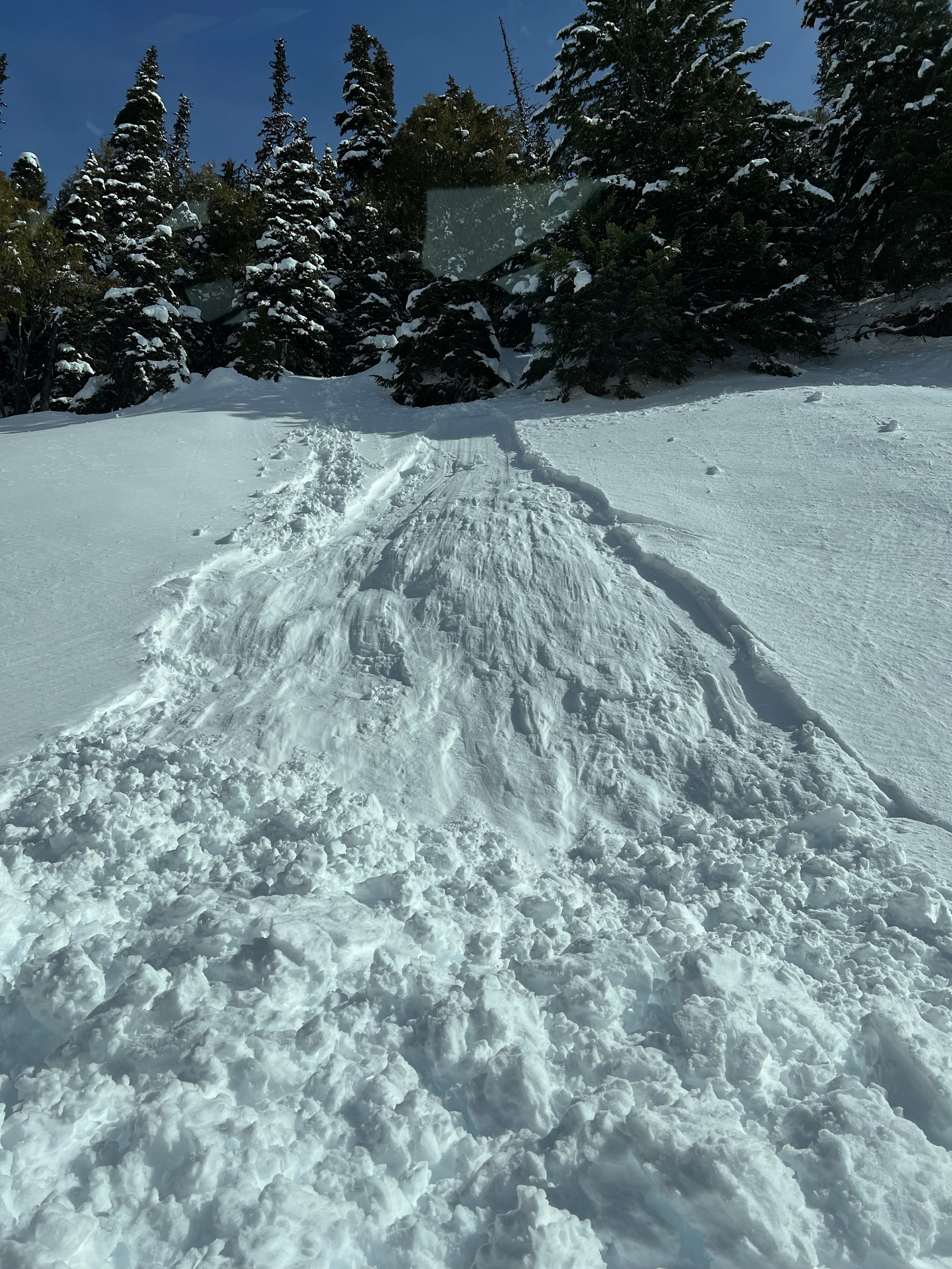
Stability is changing as the temperatures rise and the snow warms and melts. We saw many effects of this warming trend on the snow surface today; a sustained warming trend will start to affect deeper layers of snow and increase avalanche hazard.
Weather
- Air Temp
- 39
- Cloud Cover
- few
- Wind Loading
- moderate
- Rain Elevation
- 2600
- Recent Snowfall
- 25-40
- Snow Avail For Transport
- small smounts
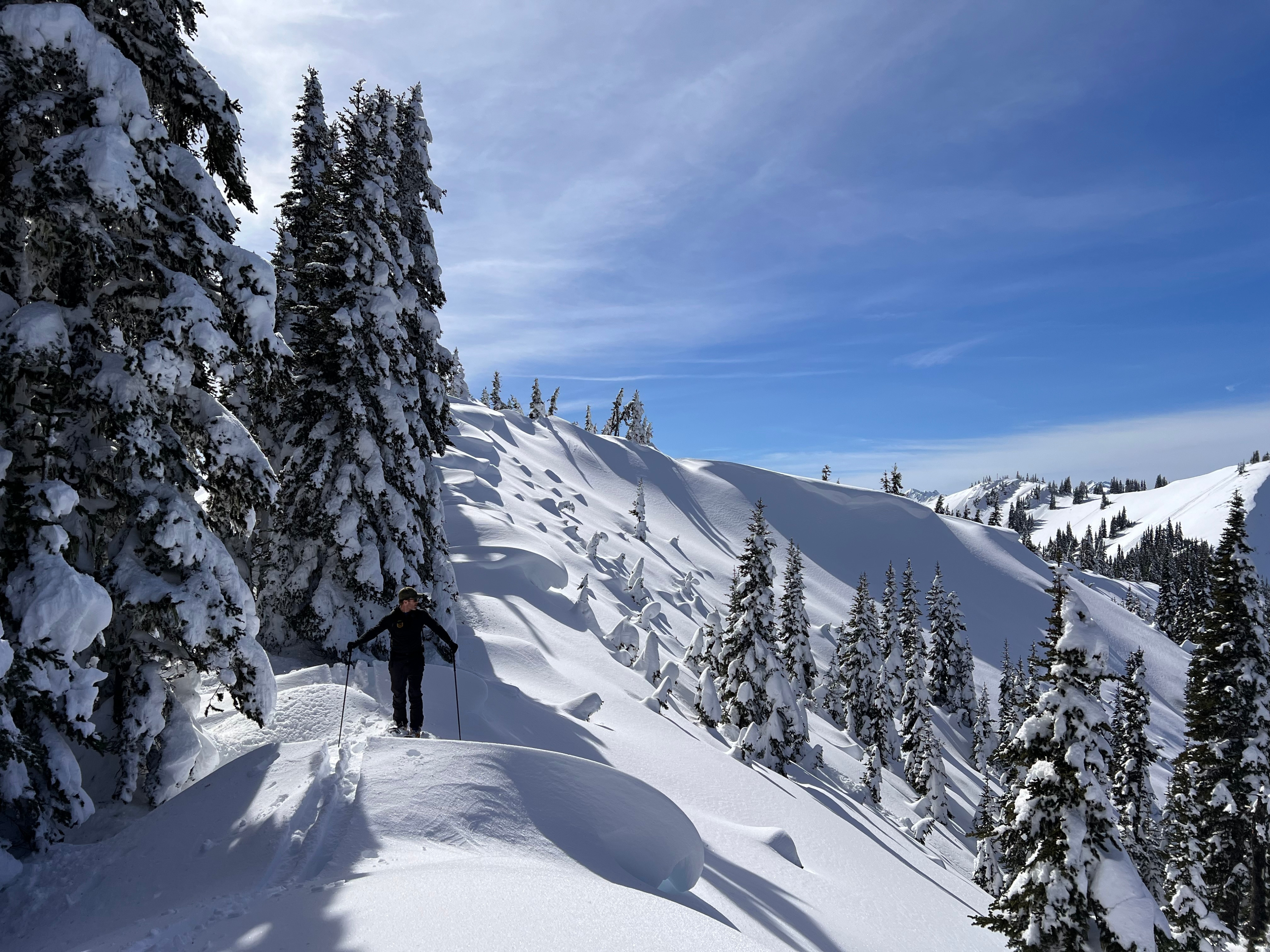
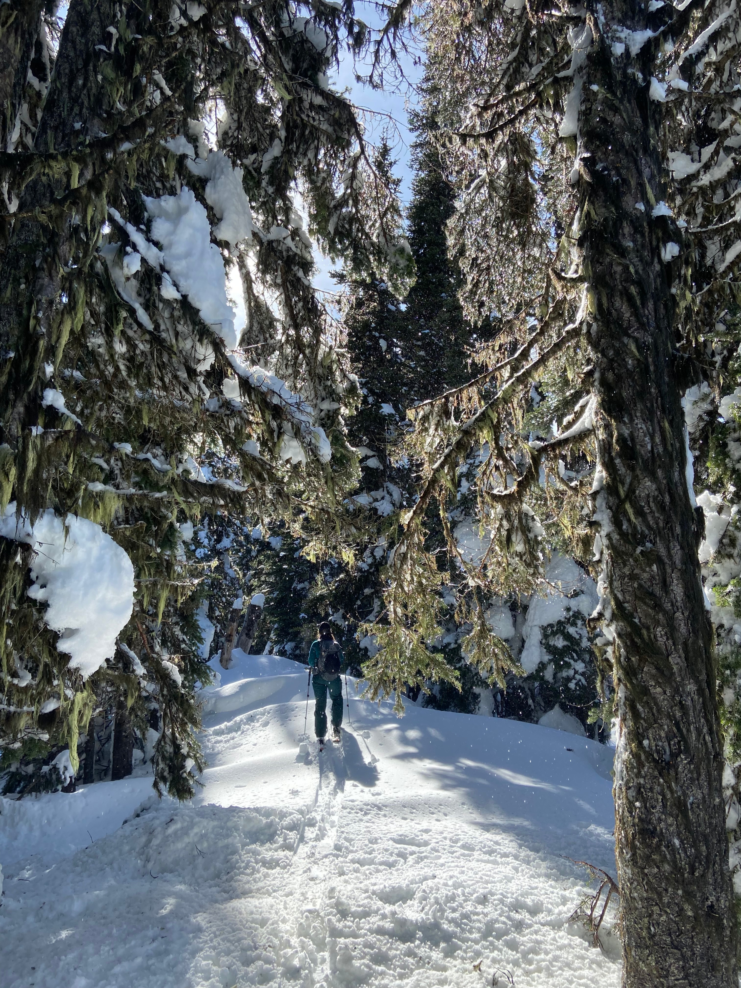
A hot sun, blue skies, and very calm winds made for a spring day on the ridge. Water falling from the trees felt like rain.
Snowpack
While today's snowpack appeared to be stable overall, we saw many signs of instability on the surface as a resulting of warming throughout the day. On solar aspects, there is a buried melt freeze crust about 25 cms or 10 inches below the surface from the 3/8 warm up that could become a sliding surface for melting snow under a hot sun. Snowpit tests revealed little to no reactivity on this layer but that could very well change as the upper snowpack continues to warm and melt. Shaded aspects held colder snow and on a west aspect we did not find the buried melt crust that exists on sunny slopes. Skinning proved difficult at times - you might end up with pounds of snow stuck to your skins. There is a light sun crust on the snow surface of aspects that were sunny earlier in the day and shady later on. This sun crust was easily breakable today but use caution tomorrow.
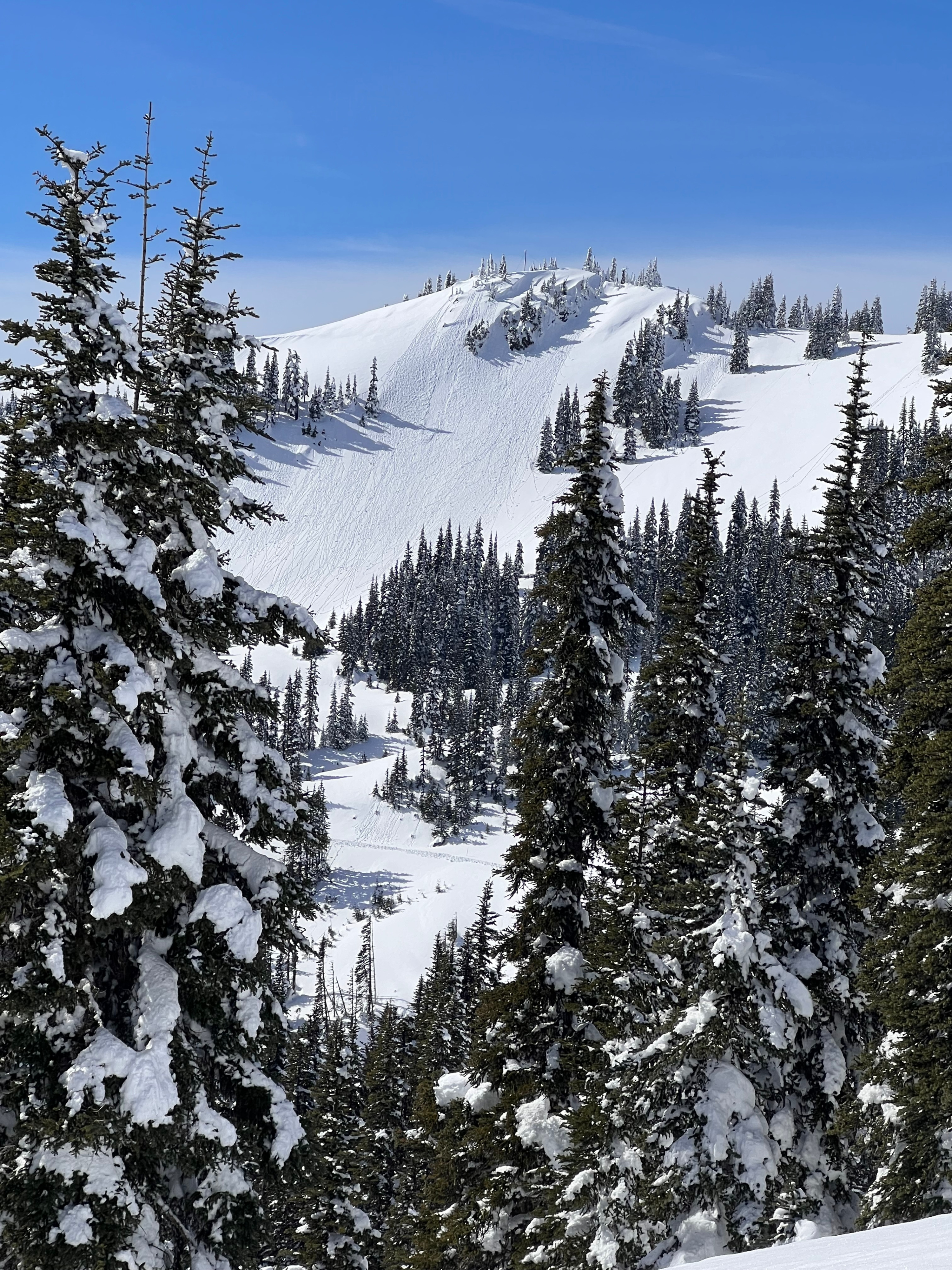
From a distance, we observed a natural D1.5 or D2 avalanche on a north facing slope in North Bowl below Sunrise viewpoint. It is hard to say when this slide happened, but this slope looked to be wind loaded and the crown is located in a known 50+ degree start zone.