
Quick report
- Cracking
- specific
Oberved minimal avalanche activity this week with just a few small wind slabs. The JDL is getting deeper and harder to trigger in the eastern part of the zone but its definitly still present. There also seemed to be another shallow FC/Crust combo down 25-30cm before thursdays storm (current depth probably 40-50cm). Curious how problematic this will be in the future. It seems to be somewhat widespread on all aspects except direct N. Im guessing this probably occured during the warm spell 2 weeks ago.
Overnight (wed/thurs) we recieved 6" of new snow along with moderate winds. This morning there were noticable propogating cracks near ridgetop.Weather
- Cloud Cover
- broken
- Wind Loading
- light
- Recent Snowfall
- 22
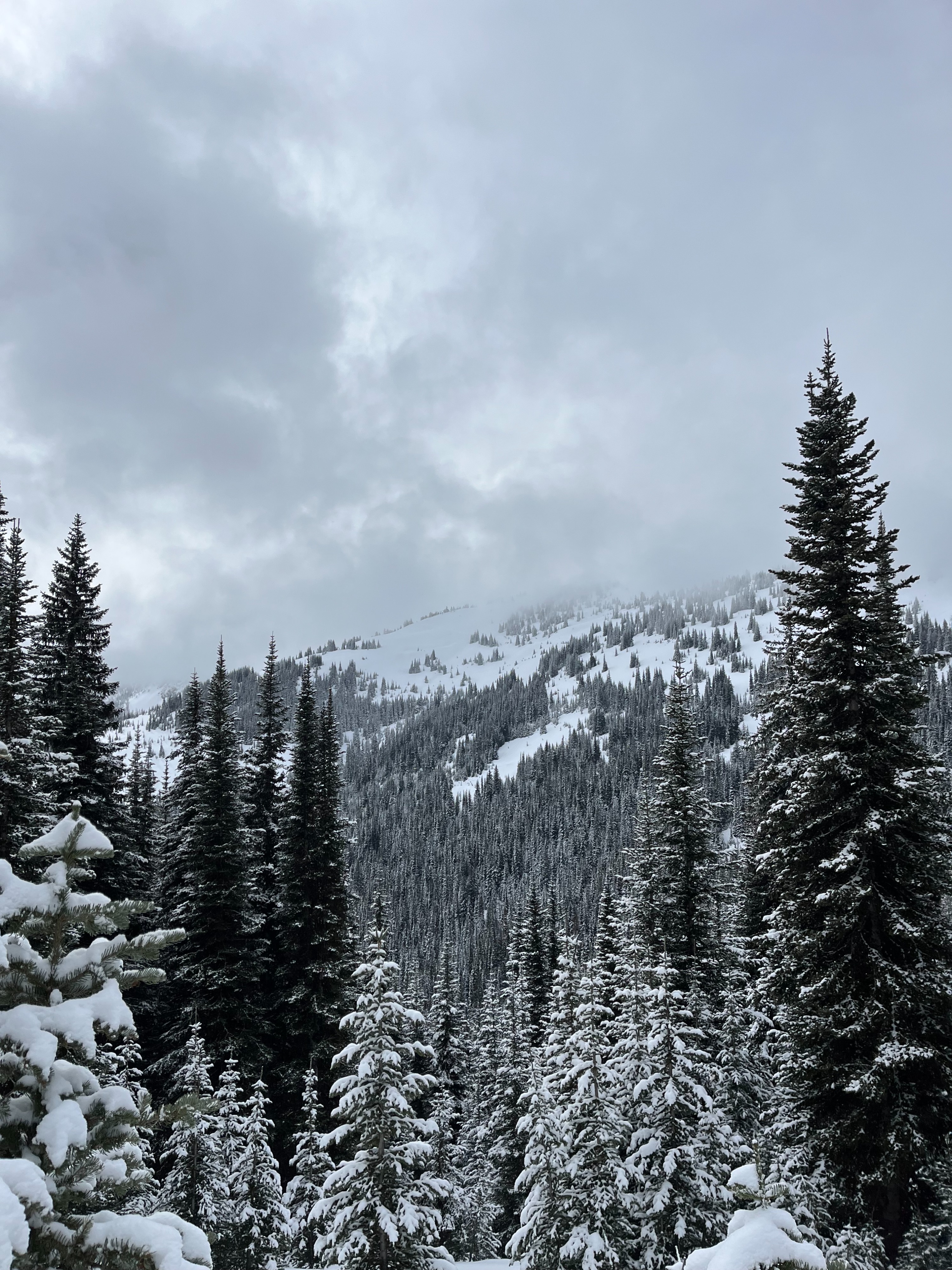
Mostly cloudy and overcast skies this week, with light precip every day. Light to moderate winds predominantly from the south with a more varied direction wednesday night and thursday morning.
Snowpack
Dug a couple times this week. One in Oregon Creek and one off Buffalo Head Peak (Profiles below). Both had 4F hard facets down 80-90cm and produced significant results on compression and propogation saw tests.
Avalanche
Observed some small wind slabs the last 2 days that were triggered on steep unsupported slopes or slopes that had a crust below. No new large avalanches observed.