
Quick report
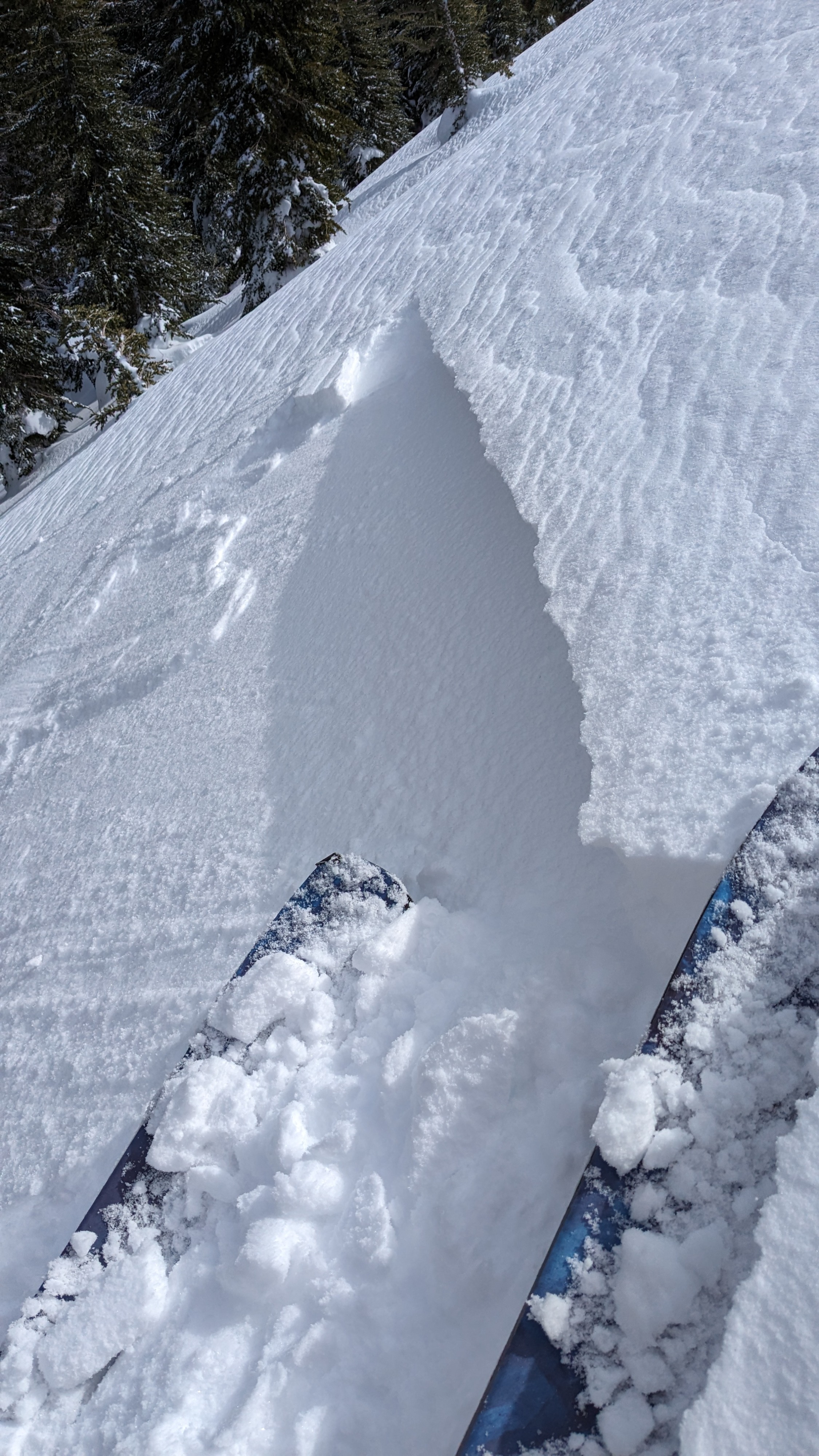
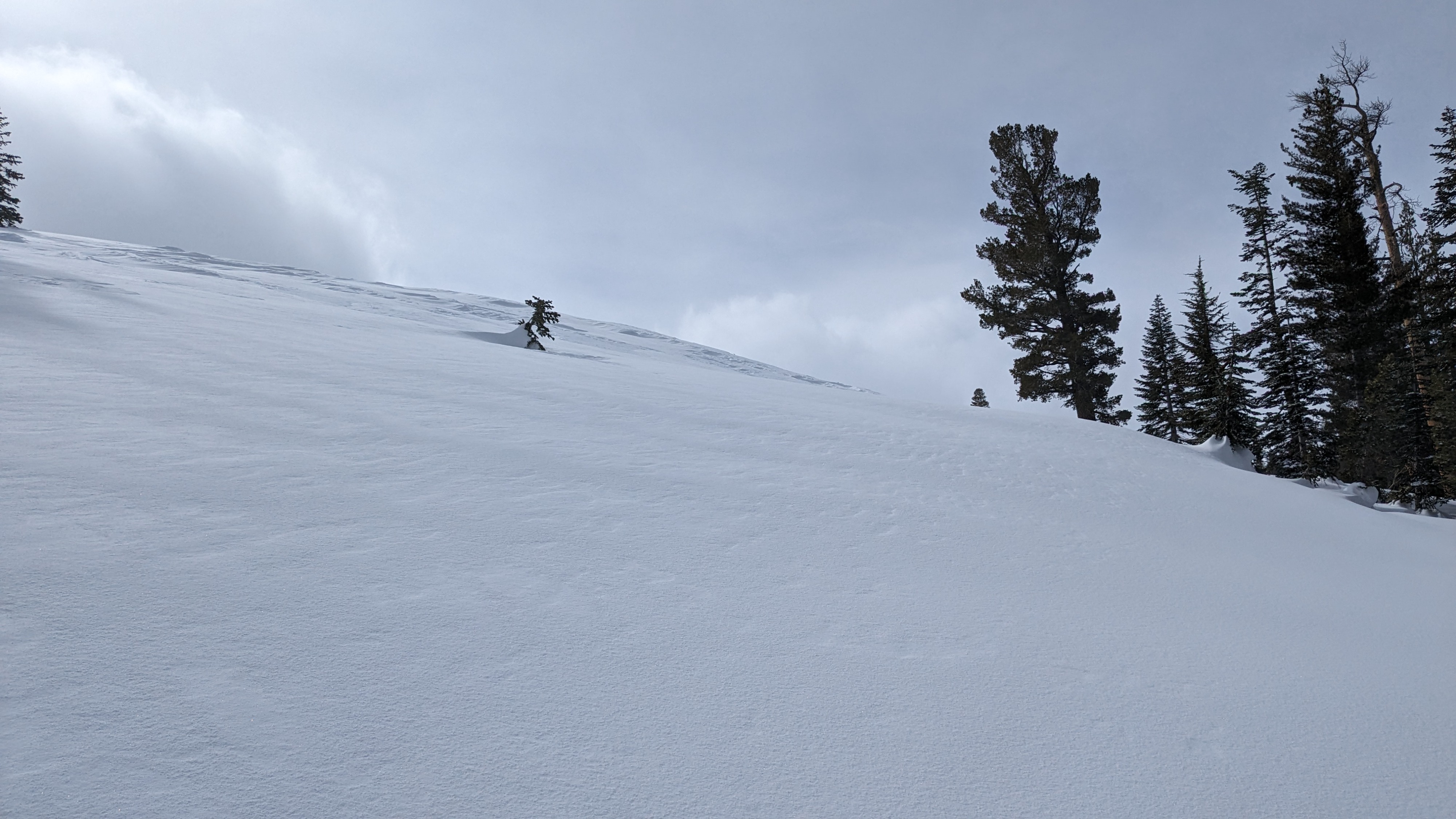
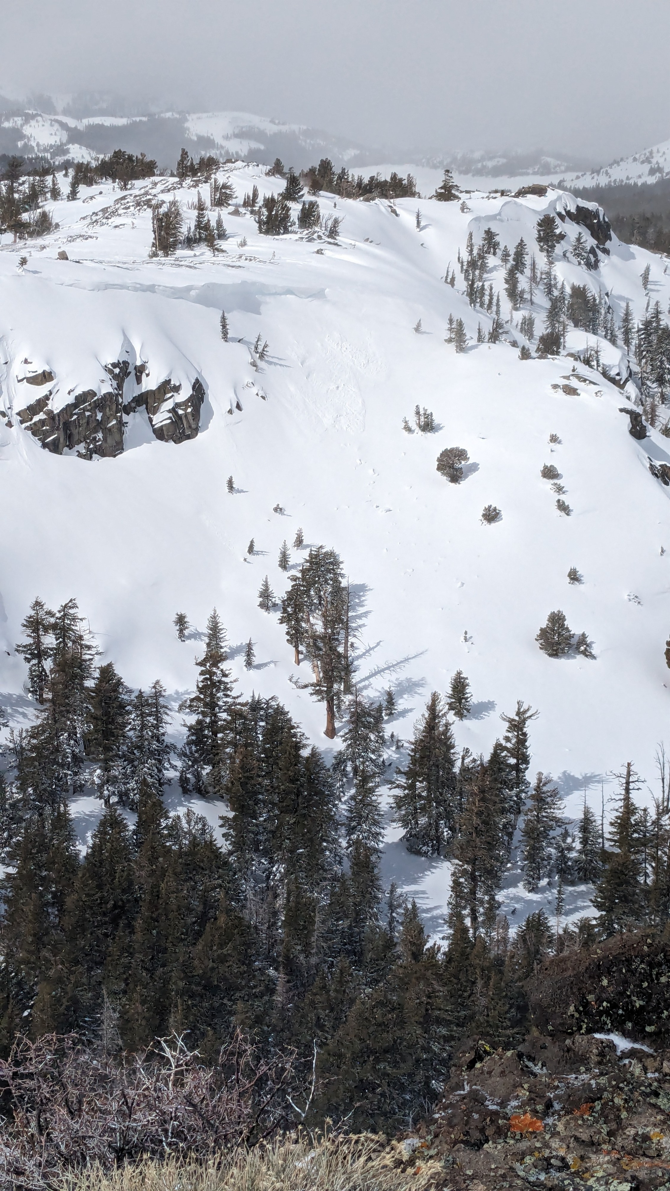
We toured on Elephant's Hump today. Drifting snow and shallow, recently formed wind slabs existed in above treeline and near treeline terrain. These wind slabs were reactive to ski cuts on convex terrain features. We noted one natural D1 wind slab underneath a cornice near Frog Lake.
Recent new snow amounts of around 6 inches exist in near treeline terrain, available for redistribution into new wind slabs during the upcoming N to NE wind event forecast for Wed-Fri. The expected 100+ mph NE winds could erode more than the top 6 inches of the snowpack in some areas.
Size D1 wind slab avalanches were easy to trigger, failing on the 24 hr interface.Weather
- Cloud Cover
- broken
- Wind Loading
- moderate
- Recent Snowfall
- 7 cm in the past 24 hrs, 16 cm in the past 48 hrs
- Snow Avail For Transport
- moderate amounts
Strong SW winds observed drifting recent new snow, mainly over N-S oriented ridge features. Off and on convective snow showers with minimal additional accumulation.
Snowpack
Total new snow amounts from the past 48 hours of 6 inches in this area. 3 inches from last night on top of 3 inches from Sunday night. On sun exposed slopes, there is a thin crust in between the two recent storm snow layers.