
Weather
- Cloud Cover
- broken
- Wind Loading
- none
- Recent Snowfall
- 6
- Snow Avail For Transport
- moderate amounts
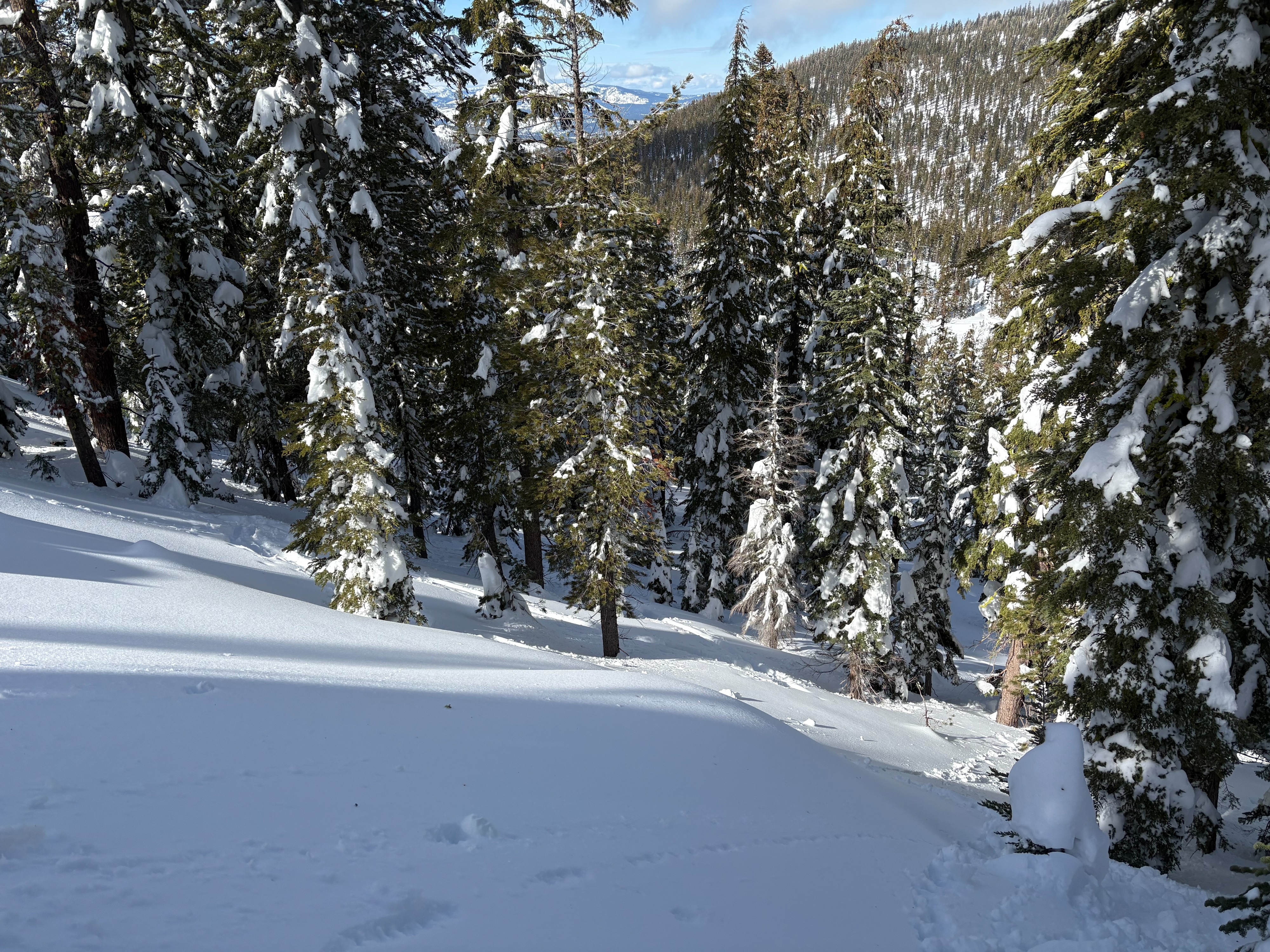
2 to 3'' of new snow this morning with mostly cloudy skies. Decreasing clouds through the morning with patchy sun breaks by midday. Temperatures warmed quickly in the late morning hours. SW winds were light to moderate in this area.
Snowpack
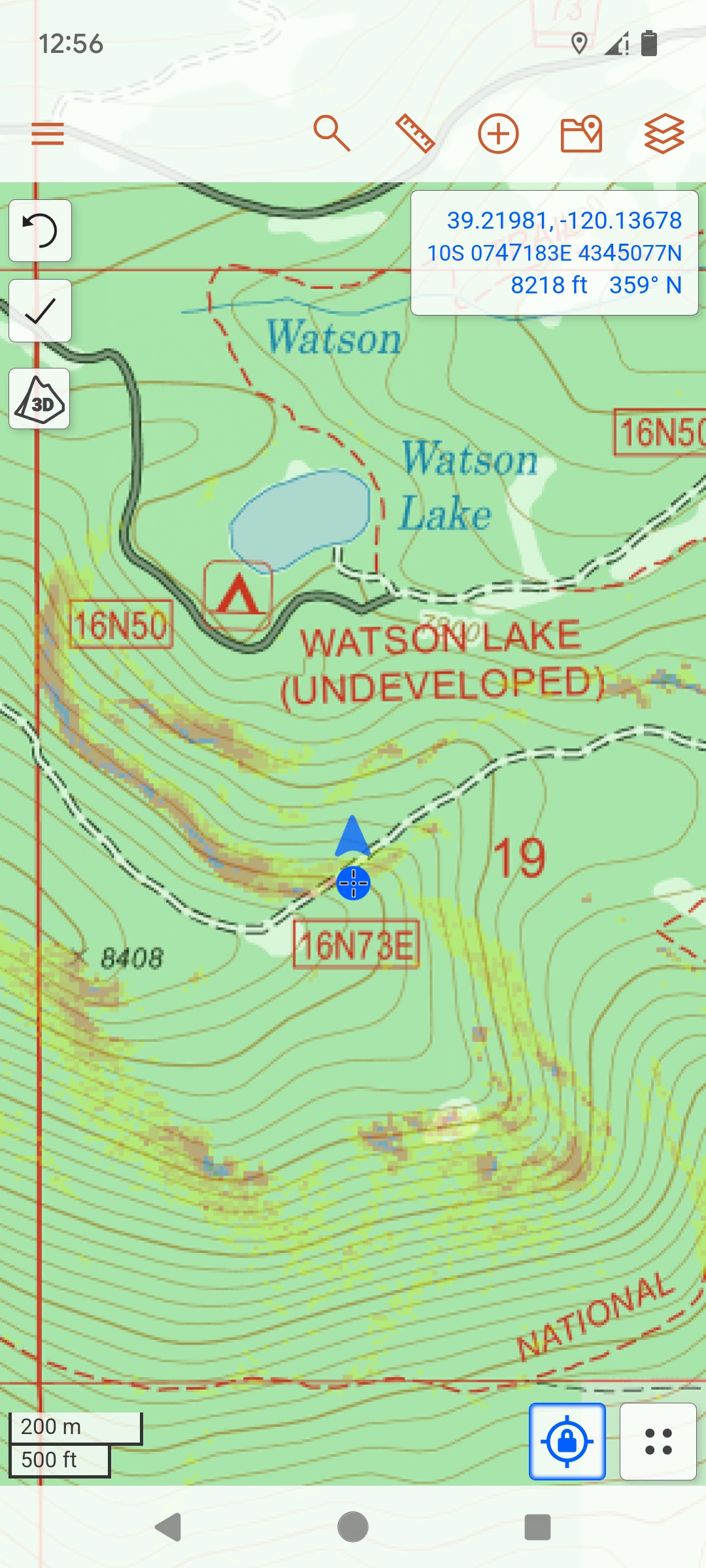
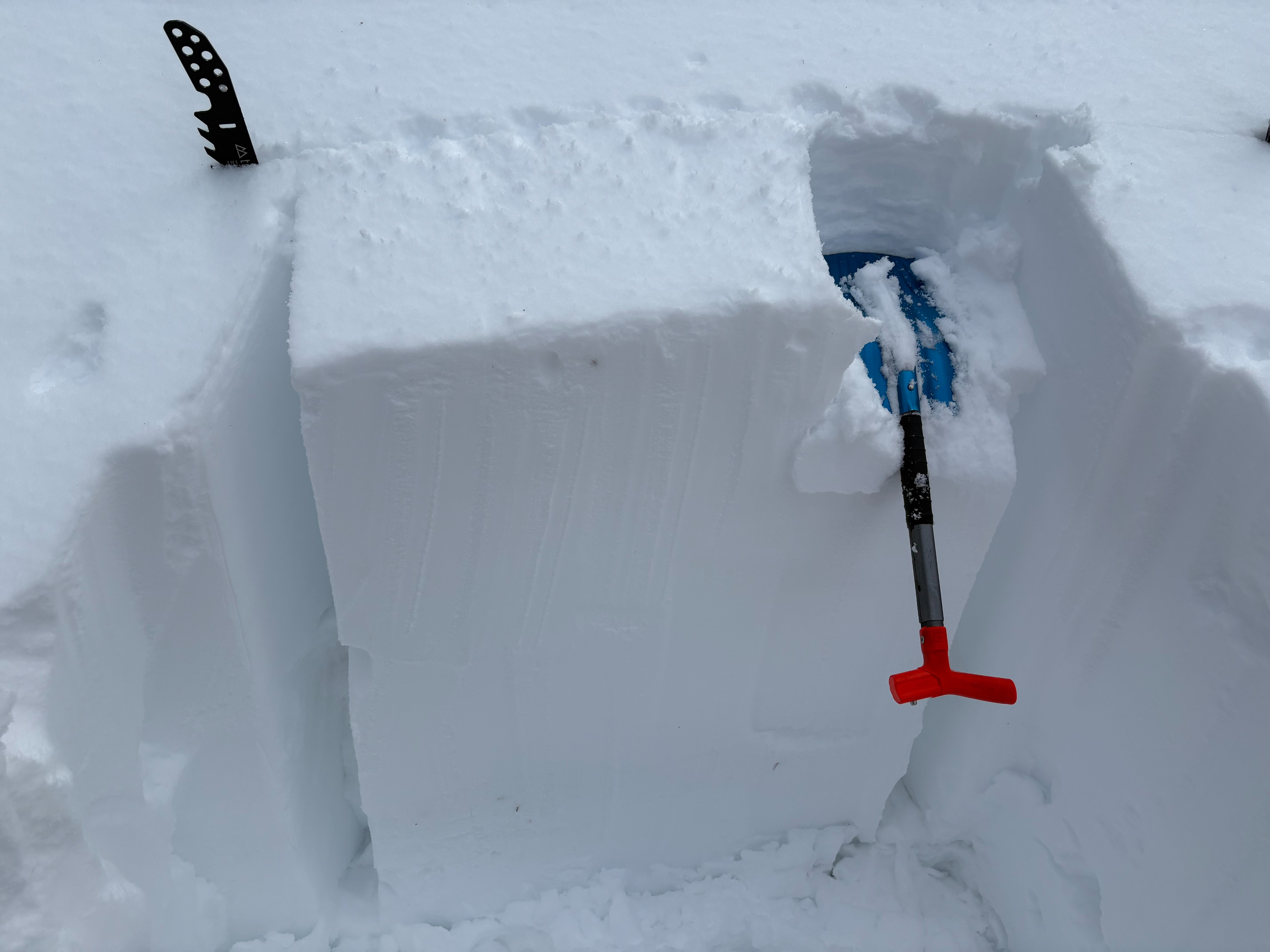
We went to Watson Peak to investigate the persistent slab avalanche that was reported on Saturday Feb 15, the last one that we have reported on these weak layers. We scoured the area and could not find any evidence of an avalanche at this location. Rapid warming was occuring in this area by late morning. The snow surface quickly changed to heavy dense snow with widespread tree bombs and roller balls on the snow surface. This, along with many user tracks, made it hard to tell what had occured here. We did spend a chunk of time on northerly aspects moving through terrain and did not experience any whumpfing sounds or cracking-something that was also reported in this area yesterday. We dug a test pit on northerly terrain and were able to identify the buried surface hoar and near surface faceted layer. The buried surface hoar layer was flattened and both layers were not reactive to snowpack tests at this location.