
Quick report
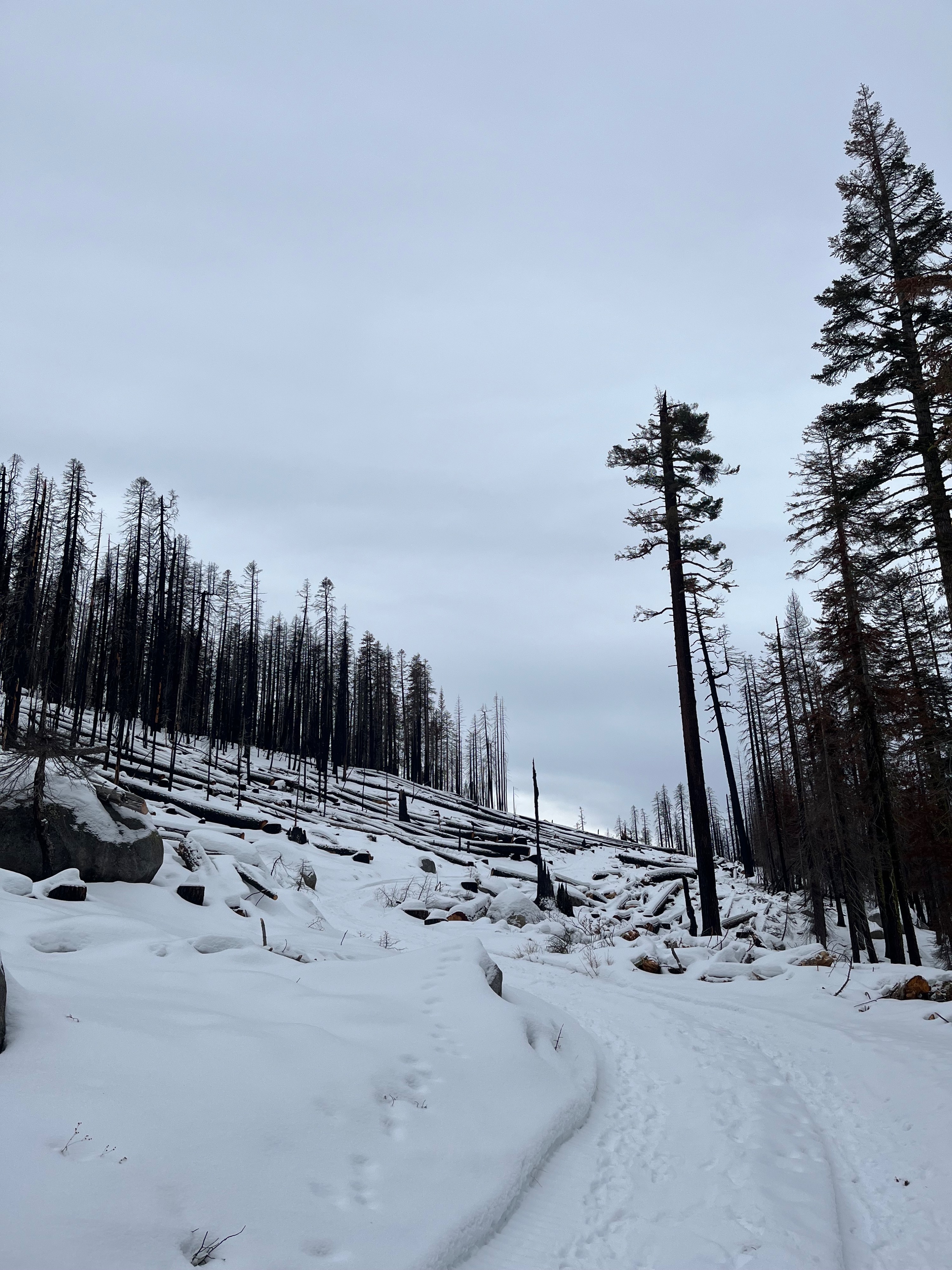
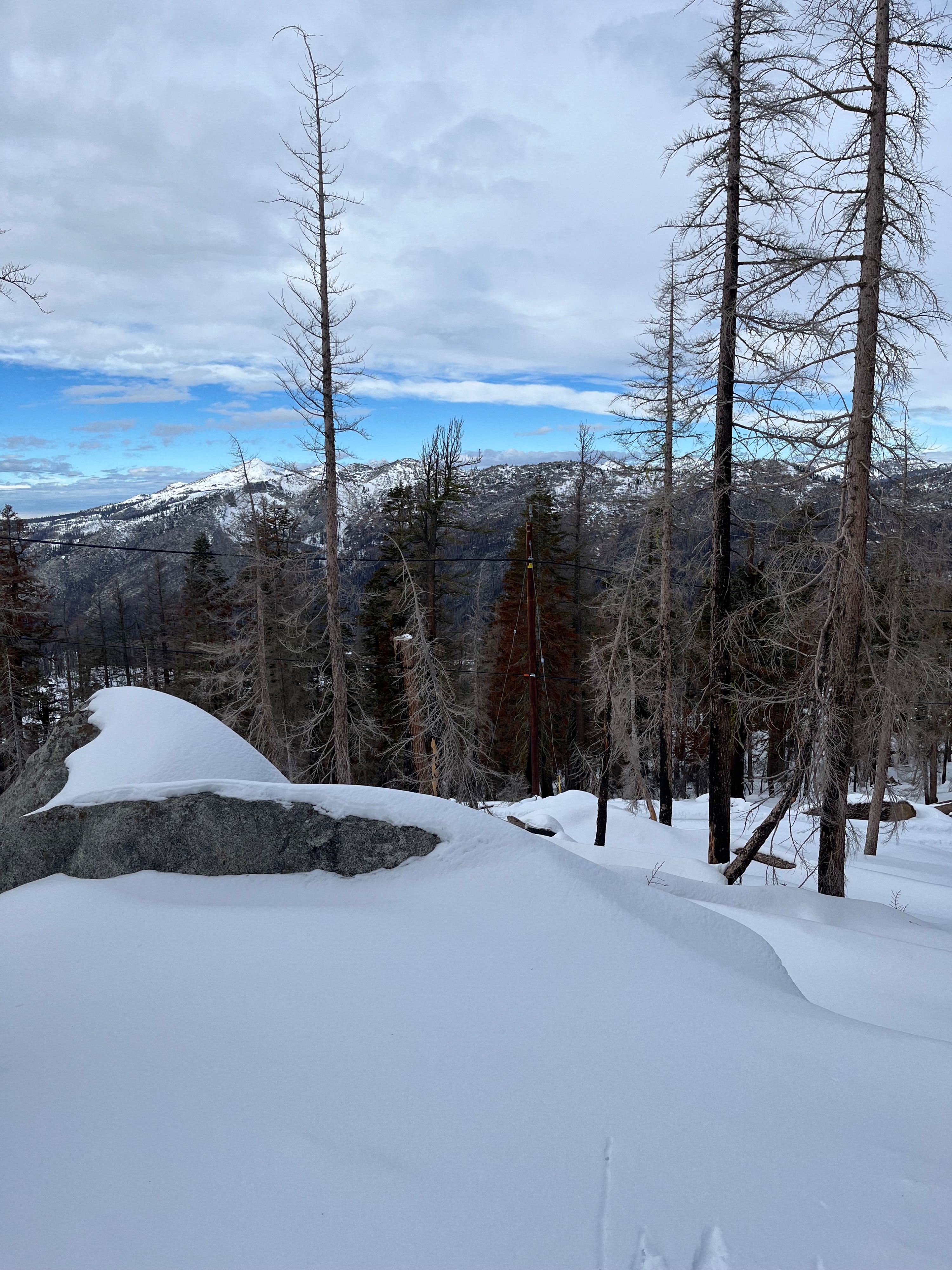
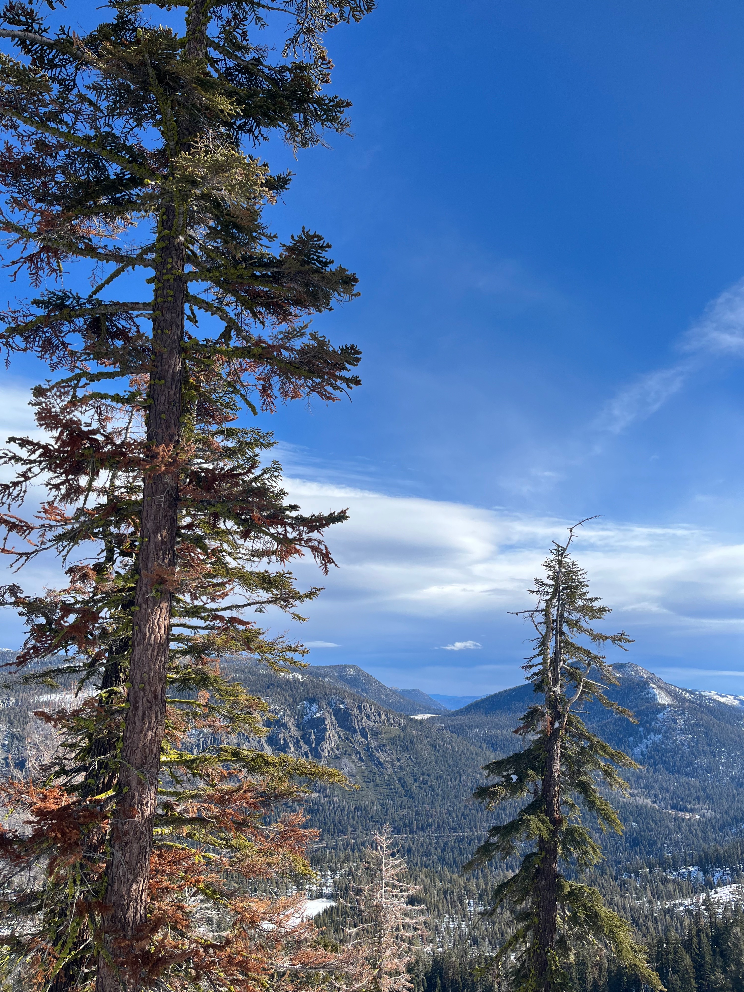
Given the shallow snowpack, I took advantage of the road that winds up to Scout Peak to check out higher elevation terrain in this area. The evidence of the Caldor Fire is strong here. There are some areas of the road where all the dead trees have been cut down for a hundred or more feet on either side of the road and other sections where all the trees burned trees are still standing immediately adjacent to the road. The entire route to the summit ridge had snow but it was very thin in several spots. On the descent I used the road for the majority of time because of all the obstacles poking out of the snow it didn't seem smart to push my luck off the road.
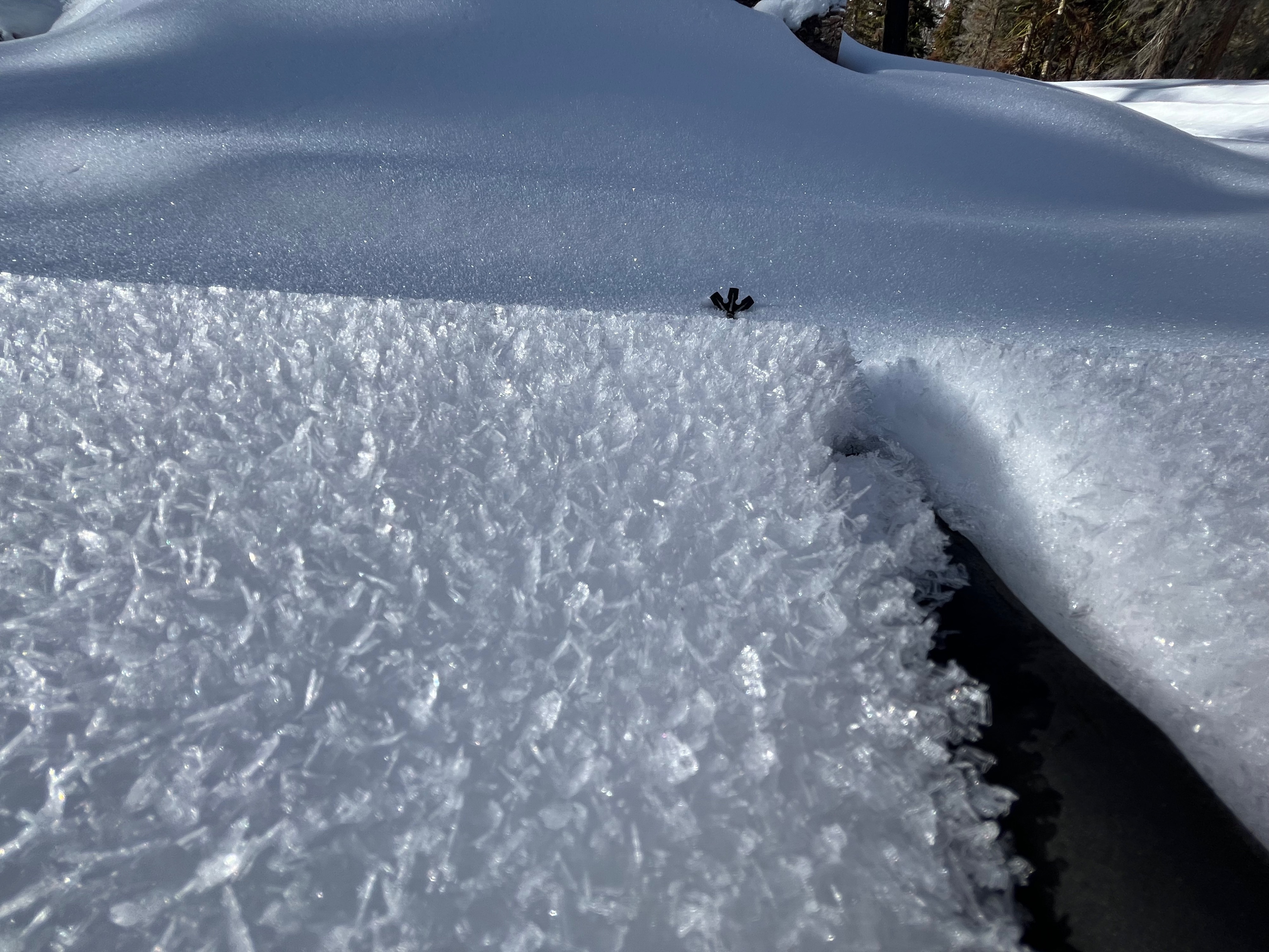
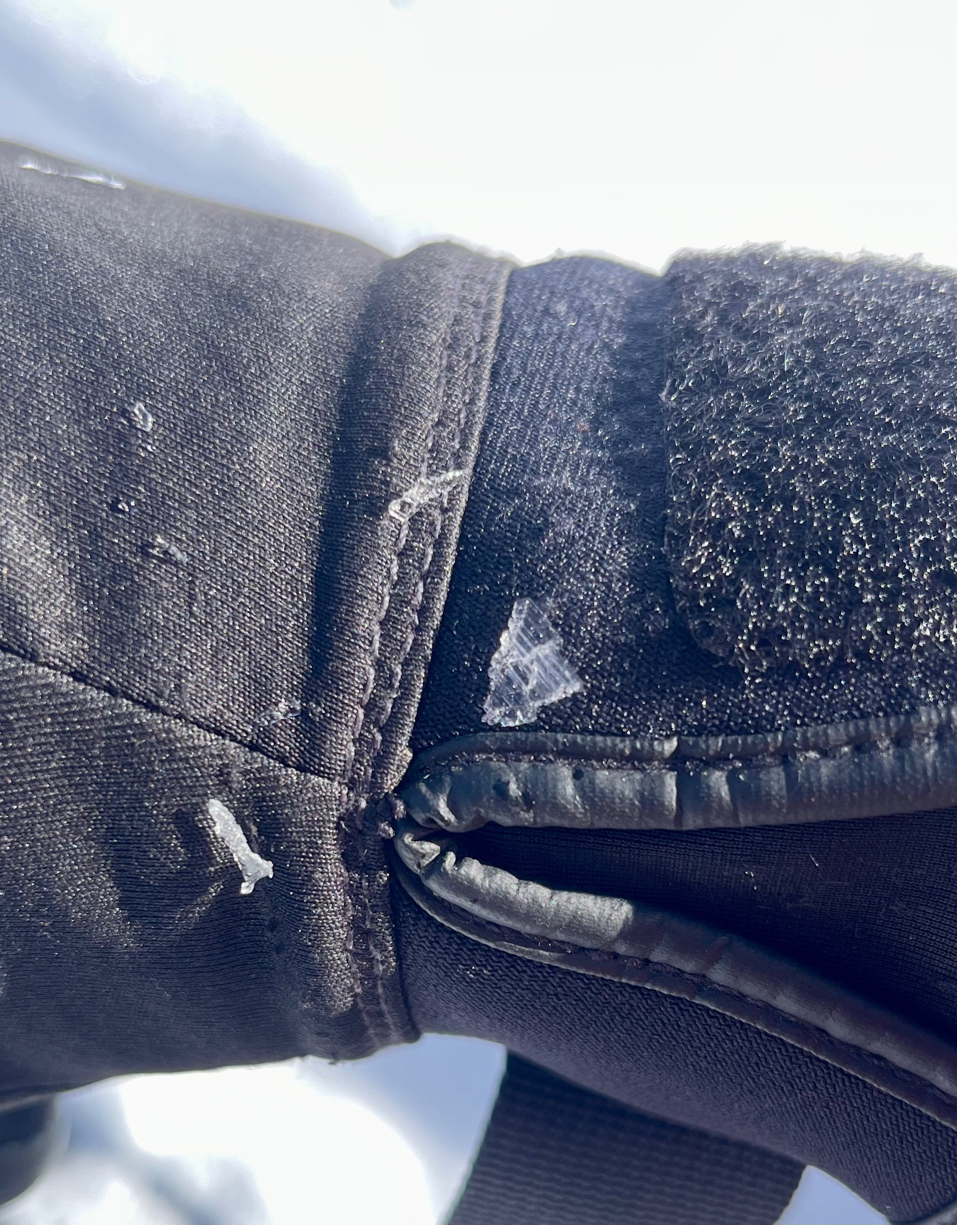
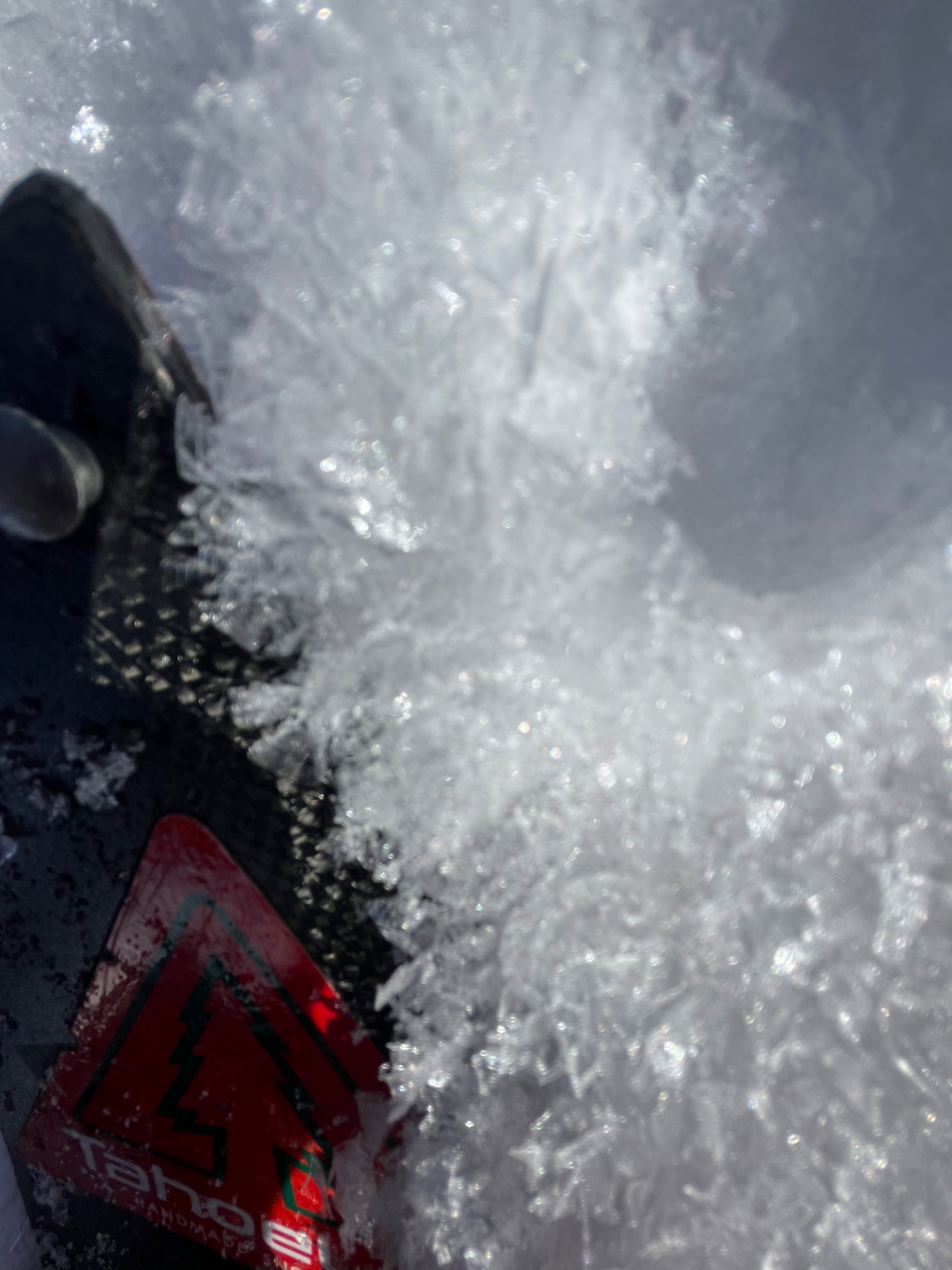
Surface hoar was present from about 7700 feet to my highest point at about 8500 feet. It ranged in size from 3mm to 1cm with some large grains at the highest elevations. Winds were increasing throughout my time in the field.
Weather
- Cloud Cover
- overcast
Winds increased throughout the day.
Snowpack
I found it interesting how different the snowpack was at this pit location compared to the pit I did at the top of Waterhouse a few days ago despite the two locations being fairly close. The roughly 900' lower elevation at this location seemed to have resulted in it receiving a signficant amount of rain and there are much stronger layers in the snowpack here. Although weak grains are present the layer is thinner and there is a very strong layer above them.