
Weather
- Cloud Cover
- overcast
- Recent Snowfall
- .5
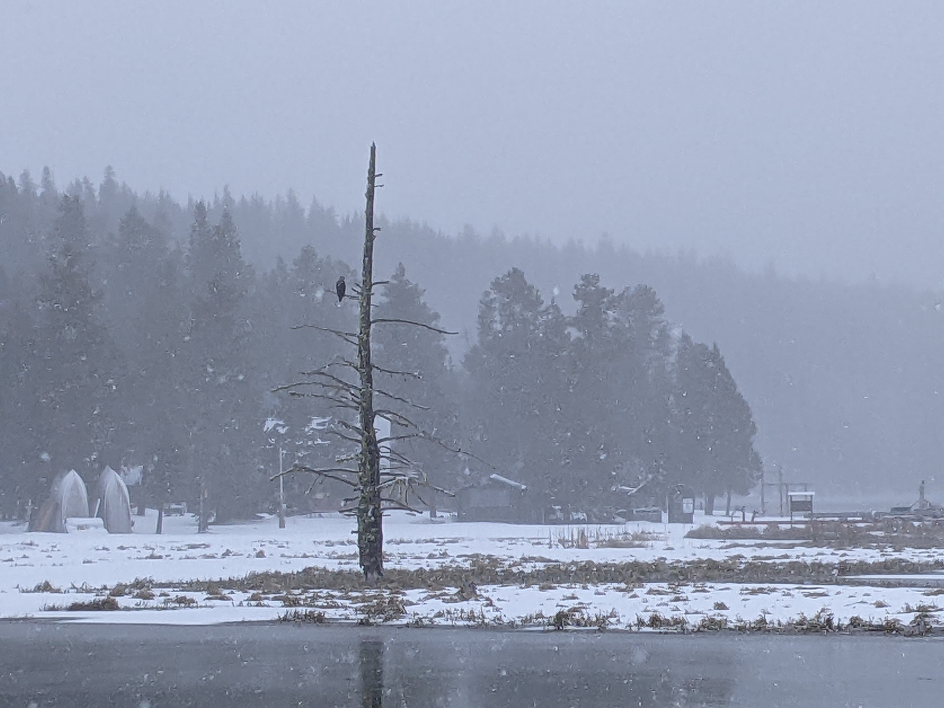
Throughout the morning the sky was overcast and obscured at higher elevations. It snowed lightly from 10 AM til I left at noon. I didn't travel above 7,600 but the wind was calm everywhere I toured.
Snowpack
Dust on crust. Everywhere I traveled there was about 2 cm. of soft newer snow on top of a 15 cm. (6 inch) thick melt-freeze crust. I dug a test profile at 7200 ft. on a north-northwest slope (see picture). I did find a couple of layers of weaker snow (4 finger hard), but didn't get any pops or drops in my compression tests, and neither of these weaker layers were the well developed facets that we would associate with avalanche activity. While I could fish out some faceted grains right above the ground in this profile, there wasn't the obvious weak layer that we have found elsewhere.
I toured higher onto the ridge and did a lot of probing. At 7,600 ft. north I could feel the basal facet layer right above the ground. It was burried 180 cm. At these higher elevations the basal facets have become a Deep Persistent layer. This means that where it is buried more than 4 ft. or so, triggering an avalanche on this layer is unlikely but the resulting avalanche would of course be very destructive.