
Quick report
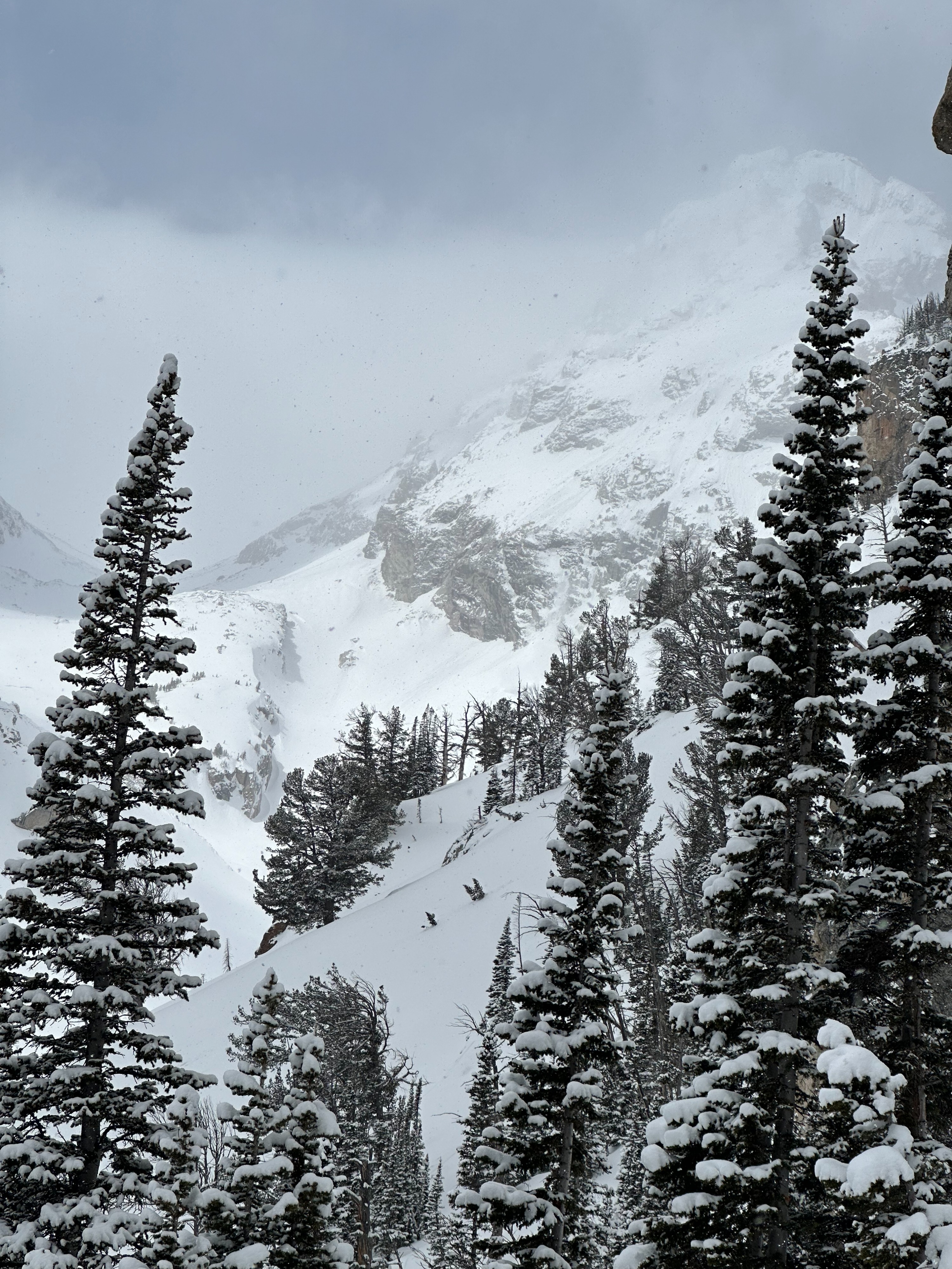
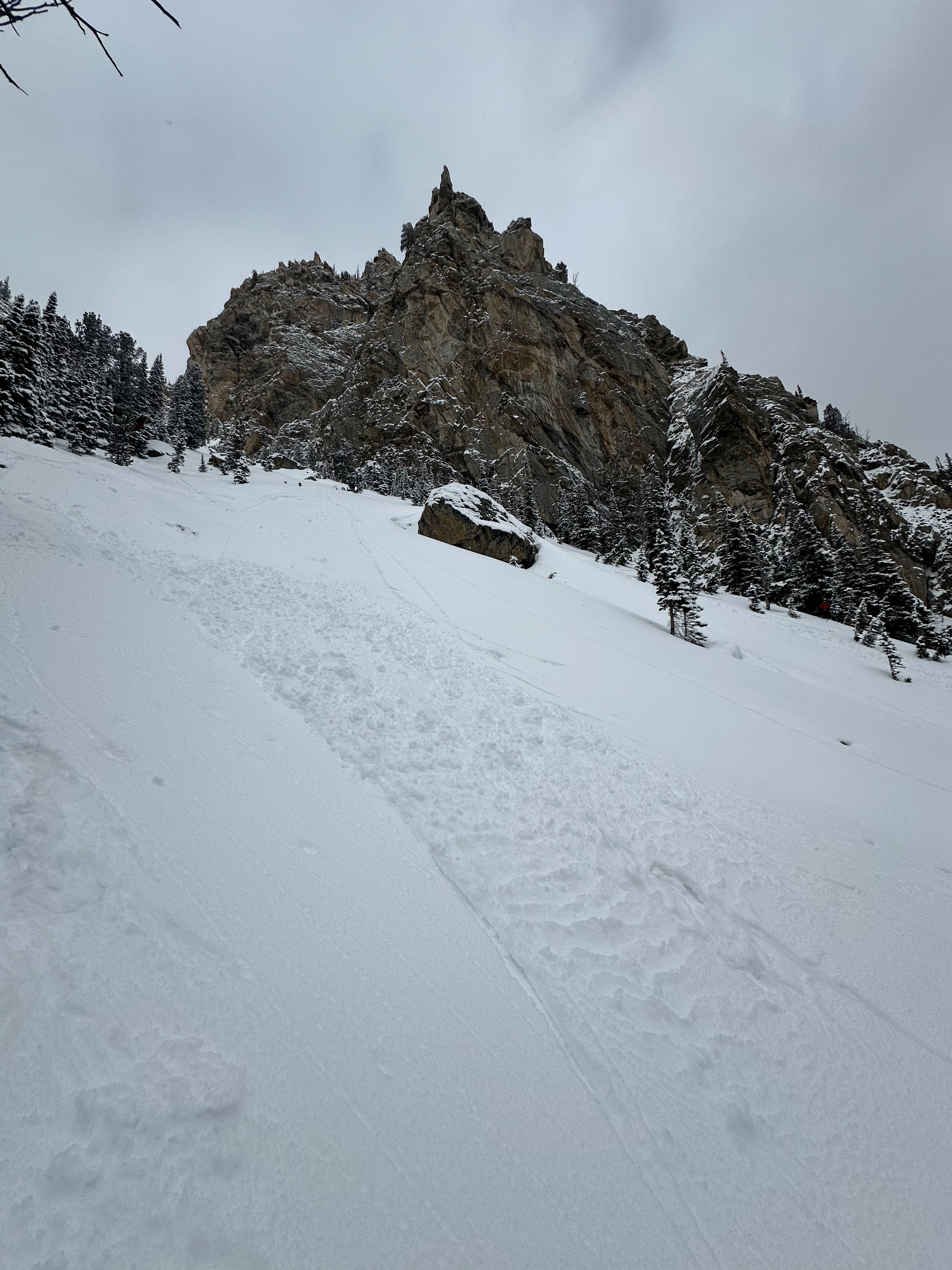
Low-elevation clouds obscured the mountains through the morning. Afternoon, clouds started to recede and gave way to broken skies by 2 pm. Light snowfall through the morning tapering off around 1 pm. Winds were calm up to 10,200 feet with occasional gusts from the west. The valley held ~1" of new snow. Climbing to higher elevations (10,000'), 8-10" of fresh snow could be found in locations protected from the sun and wind. We found all the new snow sitting on a supportable crust layer. No signs of wind transport in our areas of travel. Much of the fresh snow remained unconsolidated until the sun came out in the afternoon. Once the sun was out, new snow quickly became damp on solar aspects up to 10,000'. On steep southern slopes up to 9000' the snow was reactive to skiis wet avalanches. These wet loose avalanches were very small and didn't run far, but are a great indicator for future activity in the new snow as temperatures increase and cloud cover dissipates over the coming days.
Wet snow sluffing in the new snow on southern aspects up to 9000'.Weather
- Cloud Cover
- broken
- Wind Loading
- none
- Snow Avail For Transport
- large amounts