
Quick report
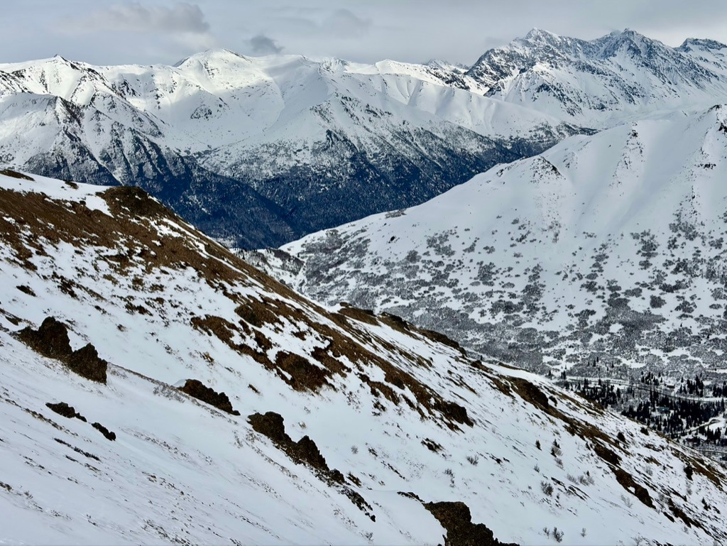
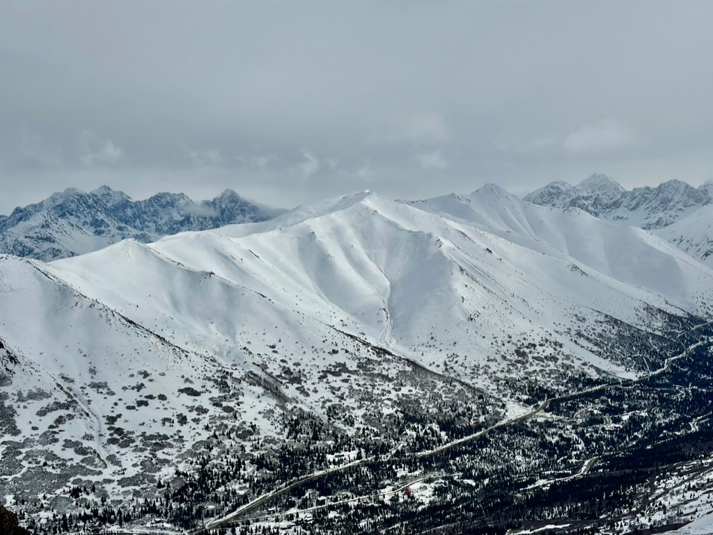
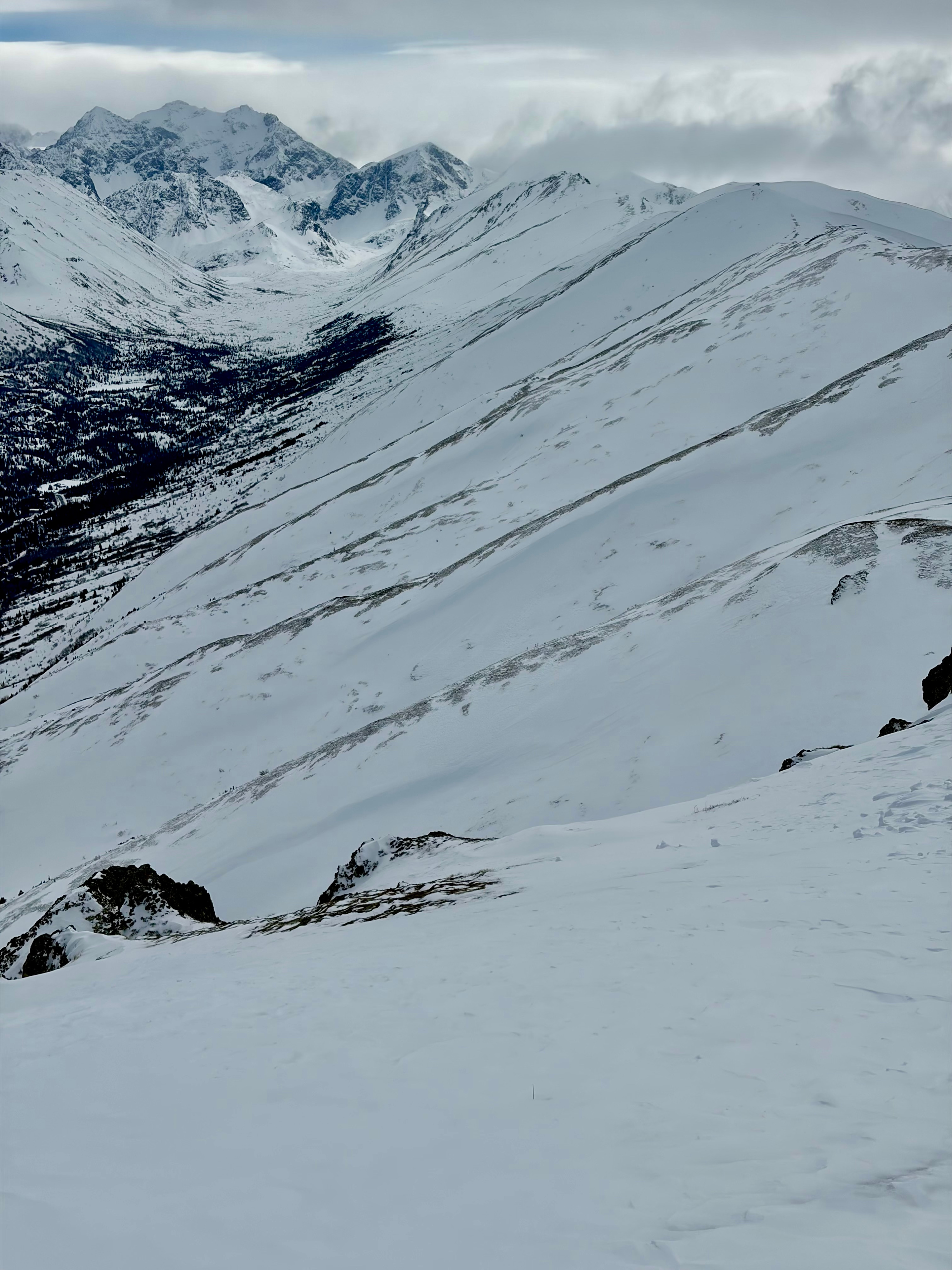
We toured to a high point of 3900' to assess the aftermath of the recent wind event, monitor solar warming on south-facing slopes, and evaluate persistent weak layers in the snowpack. The effects of the wind were obvious—the snow was fully plastered to the terrain, with little to no snow available for transport aside from a few small pockets of trace new snow. We observed no whumphing or shooting cracks.
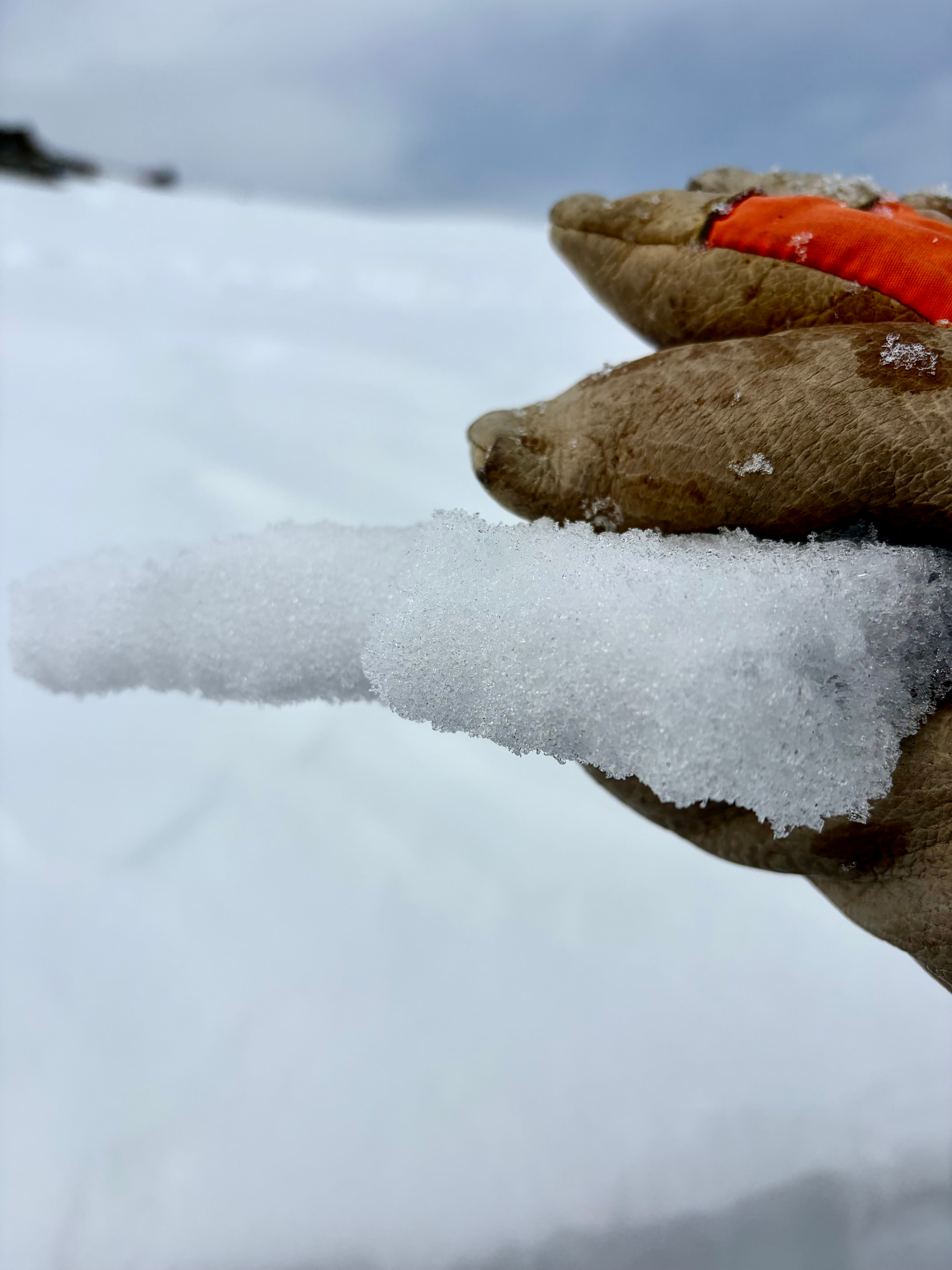
On solar aspects, a 2" sun crust extended up to ridgeline, marking a transition toward a more spring-like snowpack. Snowpit structure remained consistent with what we’ve seen most of the season: layers of faceted snow sandwiched between slightly faceted wind slabs. We identified a layer of near-surface facets just beneath the sun crust, several mid-pack faceted layers, and depth hoar at the base of the snowpack. Persistent weak layers were moist, showing signs of rounding and gaining strength. That said, they are still present and will need more time to fully heal. We dug multiple pits and found no concerning test results.
Weather
- Air Temp
- 35
- Cloud Cover
- broken
- Wind Loading
- previous
- Rain Elevation
- Not observed
- Recent Snowfall
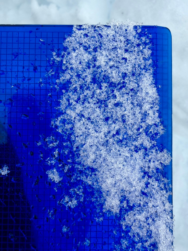
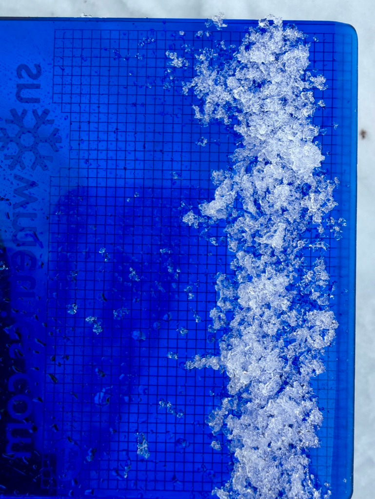
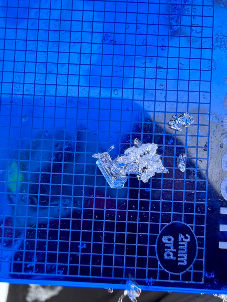
- Trace
- Snow Avail For Transport
- none
Broken Skies, temperatures between high 20s and high 30s F, occassional snow flurries throughout the day