
Quick report
- Cracking
- widespread
- Collapsing
- widespread
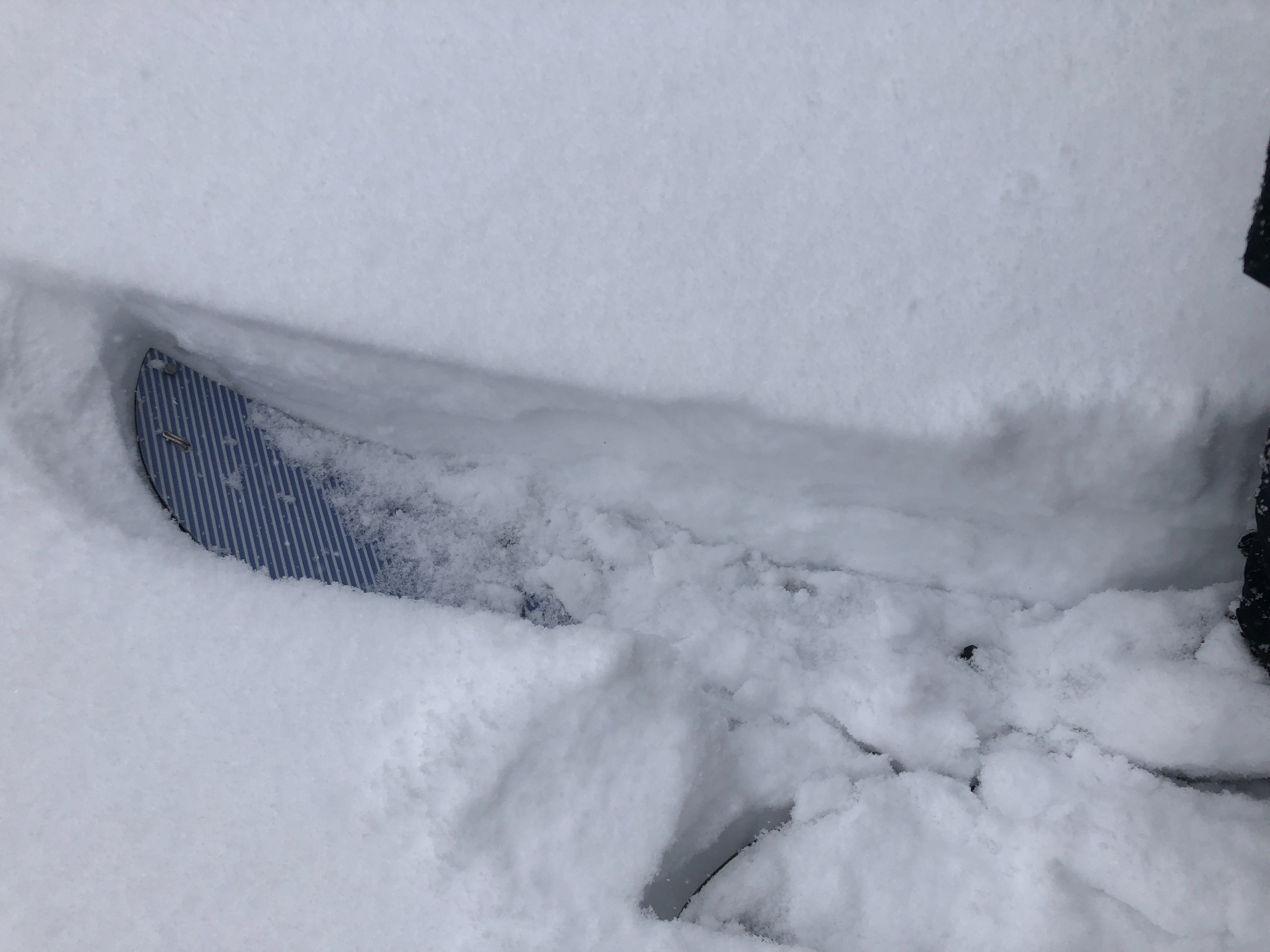
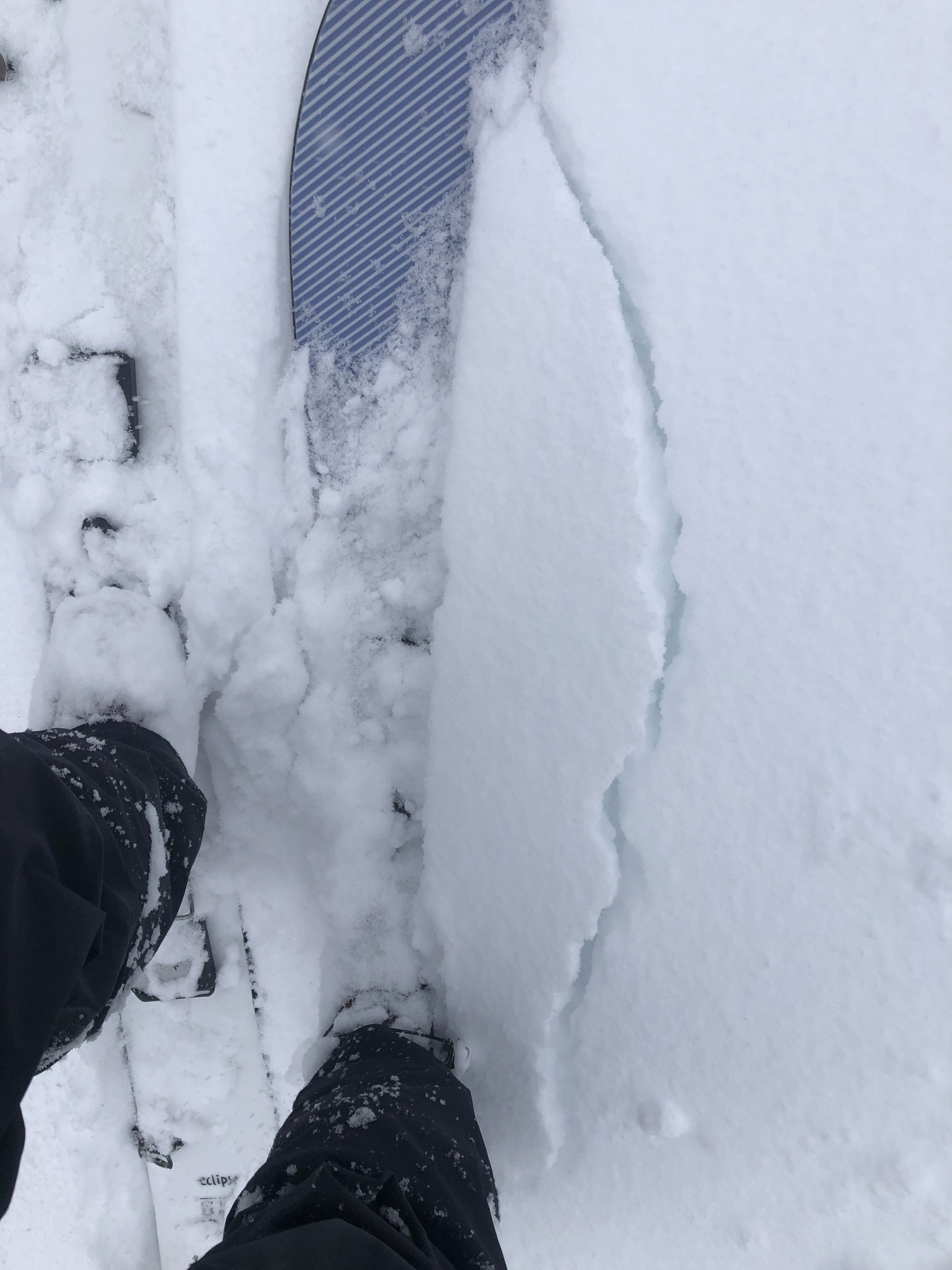
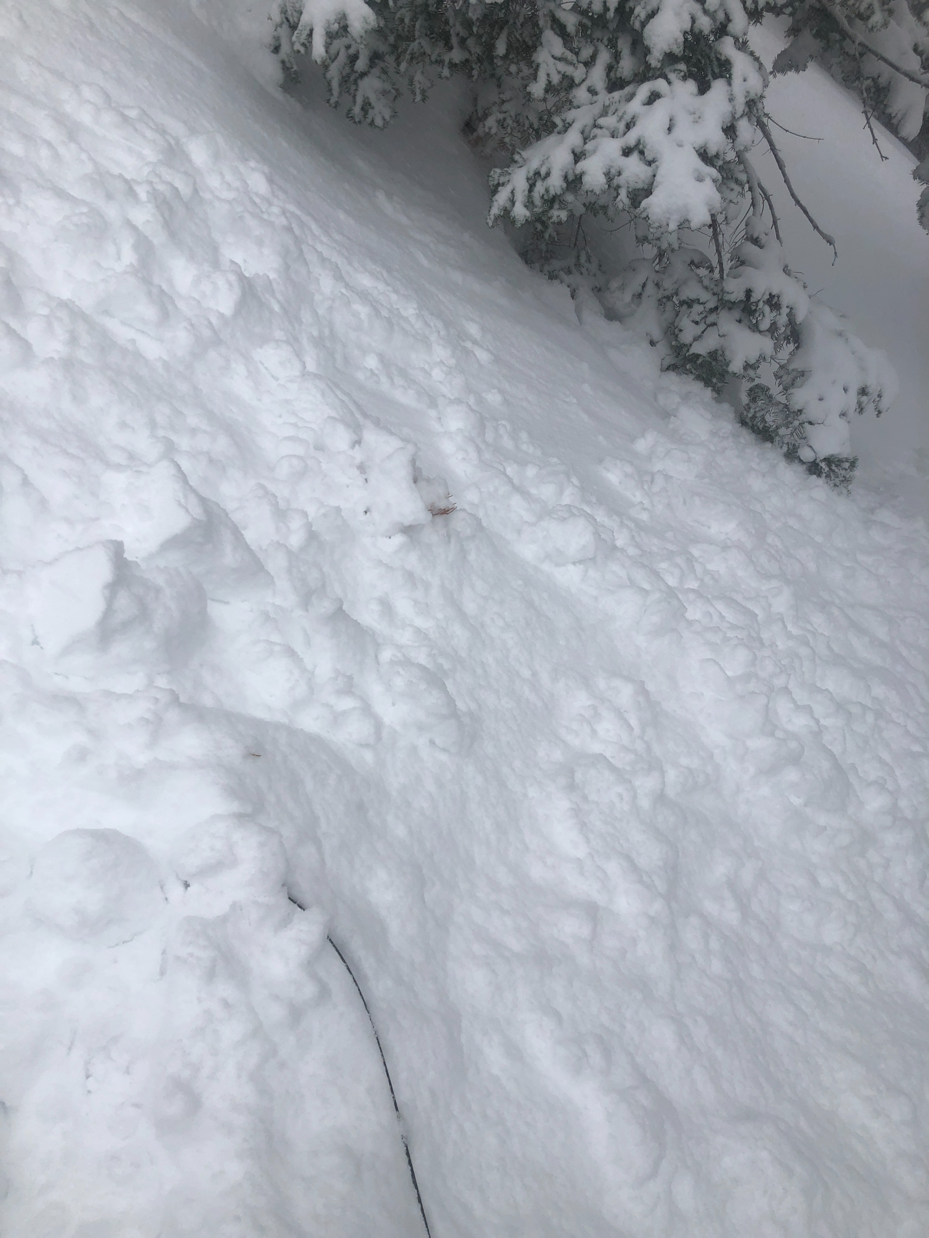
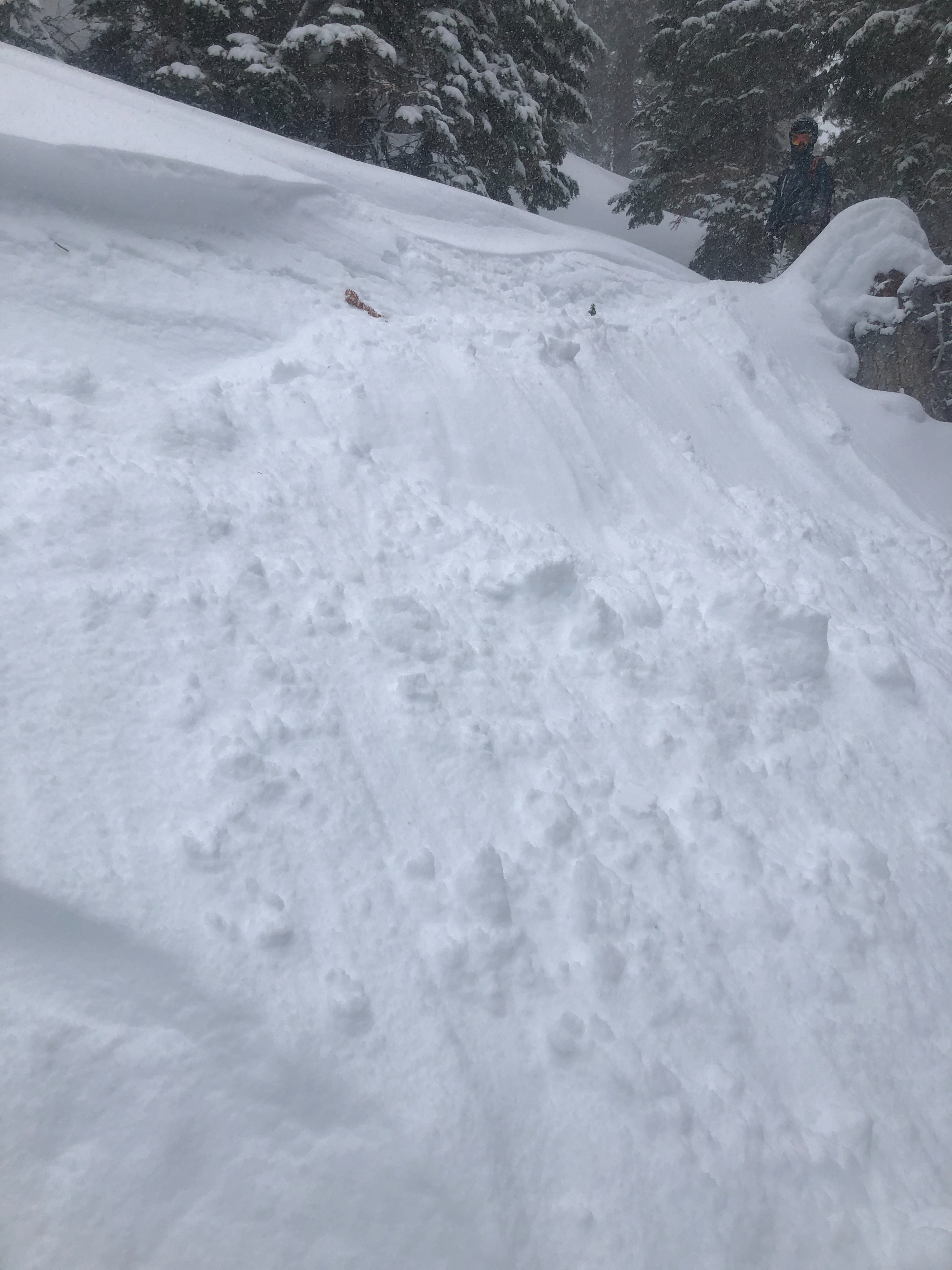
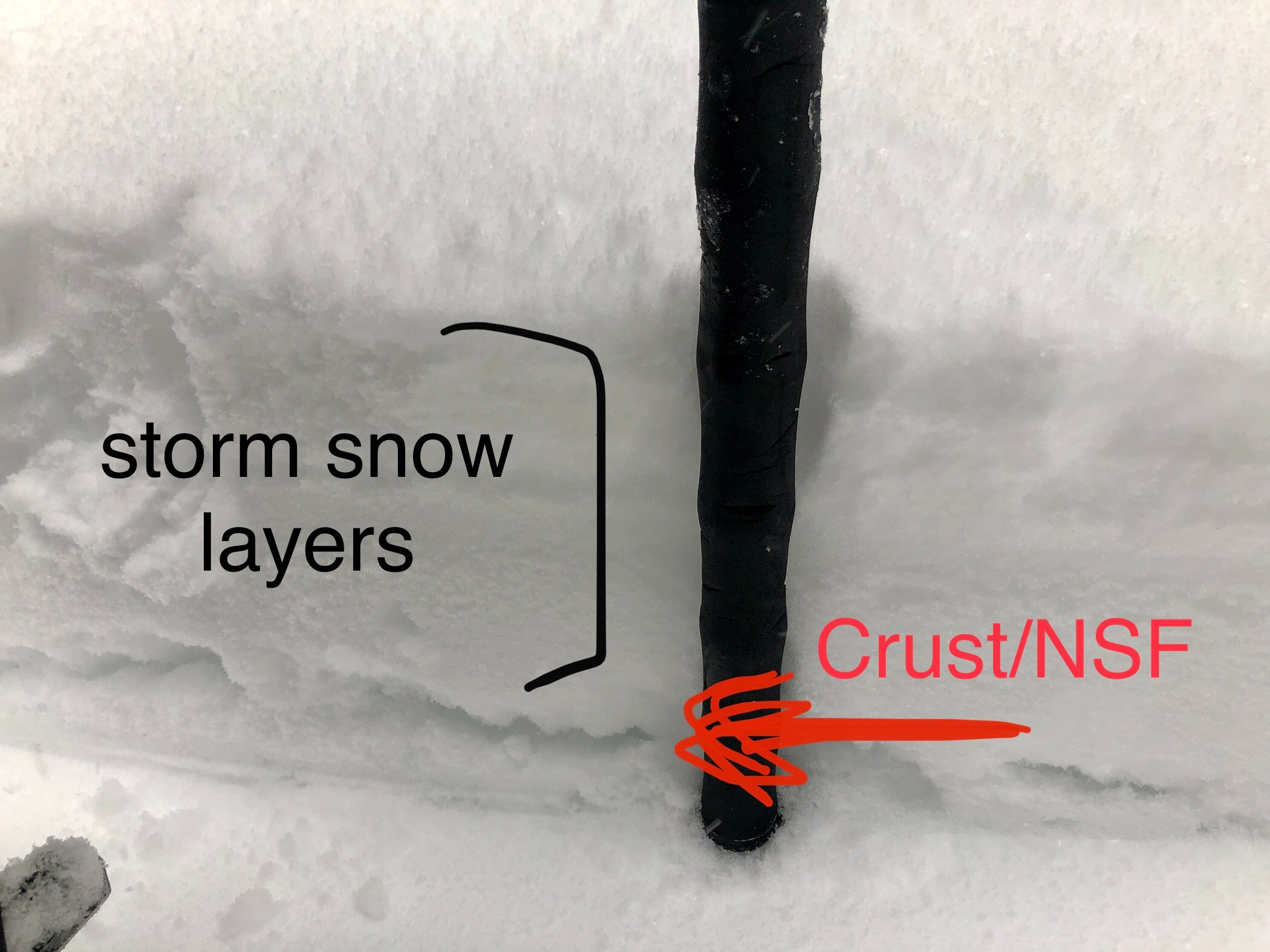
I intentionally set out with a volunteer today after 1200 to see how the storm was stacking up as the day progressed. Winds were strong at lower elevations earlier in the day as we drove to the Twin Lakes trailhead, and visibility was minimal due to blowing snow. As we arrived around 1200 hrs, snowfall rates were beginning to increase from S1. By 1500 snowfall was S3 and our original skin track was entirely covered up! On N aspects we experienced cracking in new storm snow, on multiple layers, and cracking in wind affected snow in exposed BTL and NTL terrain. A crust/near surface facet combination at the new snow/old snow interface was very easy to break through underfoot and made skinning and riding difficult. I was able to trigger numerous small slides cutting test slopes on the crust/NSF layer.
We did not venture above 8000' or out of treeline as winds and snowfall intensified tremendously. For how cold the snow was, our goretex layers were drenched within 2 hrs of travel.
There wasn't much visibility to note recent avalanche activity. However, cracking in the new storm snow, through multiple layers, was prominent on N aspects BTL and NTL. Collapsing was felt underfoot on N aspects BTL and NTL. I could see and feel I was breaking through a recent crust/near surface interface below the new snow, constantly, which made skinning and riding difficult in locations with less new snow. I noted cracking in areas exposed to wind transport BTL as well. I was able to set off a couple of small slides on test slopes, with the failure being on the crust/near surface facet layer just under the new snow.Weather
- Cloud Cover
- obscured
- Wind Loading
- intense
- Recent Snowfall
- 5 -25 cm
- Snow Avail For Transport
- large amounts
The storm intensified as the day continued on. Mainly, snowfall rates increased from S1 - S3 by 1500 hrs. SW winds were strong at lower elevations before noon, but decreased to light with moderate gusts by 1700 hrs. Above 8000', SW winds increased from moderate to moderate with frequent strong gusts.