
Quick report
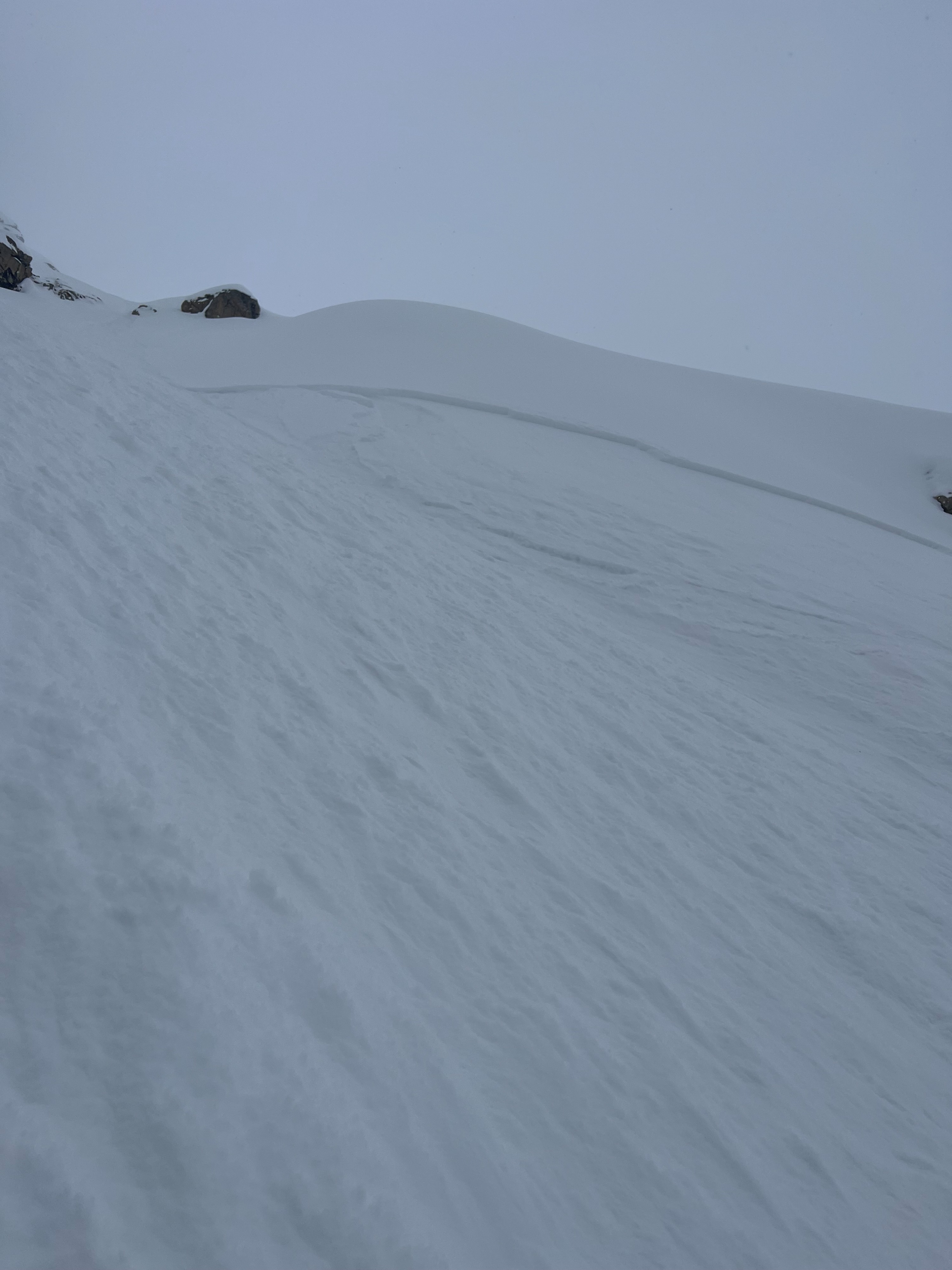
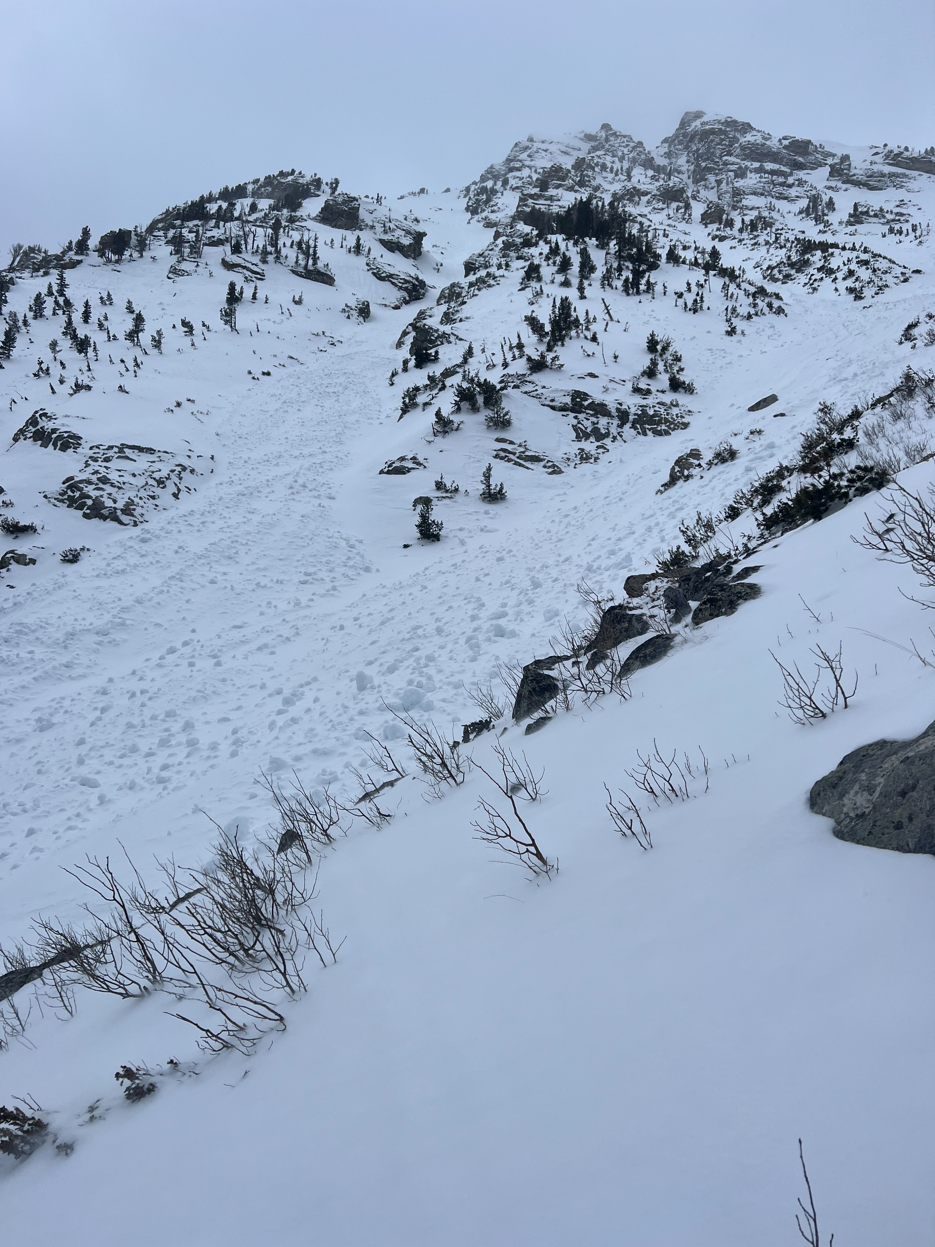
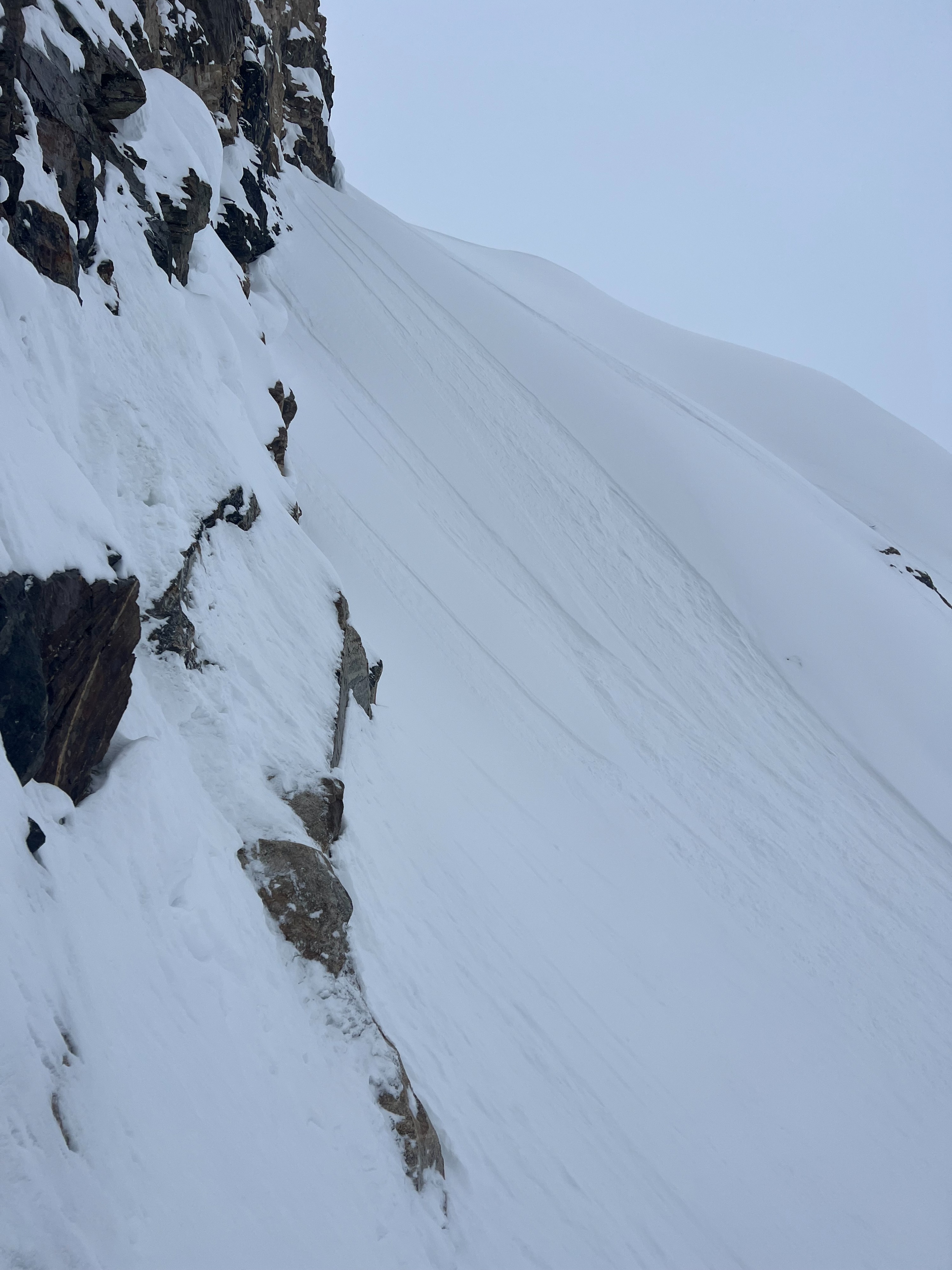
Toured out further North to get a gauge on recent snow. Lower elevations had 1-3" of recent snow and middle elevations had 3-6". There was a distinct line at around 9500' where recent snow increased significantly to 8-12". Exposed wind drifted areas contained 16-20". Wind affect over the last 24 hours was apparent building visible drifts and pillows. Wind drifted snow was confined primarily to above 10,000', on S to E aspects from W-NW winds (over 400 total miles yesterday JHMR Summit). Found one reactive wind slab pocket at 10,500' on a steep ESE aspect. Slab depth was approximately 10" (see photo). Size was not very large as the couloir had sloughed naturally via dry loose. Observed numerous other dry loose on steep aspects in the upper elevations and beyond. Steep slopes were sloughing decently while riding. N-NW aspects were scoured above 10,000 in exposed alpine terrain. Wind scour was most significant adjacent to large wind funnels and canyons. Lots of wet loose observed on southerly aspects up to 10,500' isolated around rock features. The last two warm spells have done a number to southerly aspects, creating what I imagine would be unpleasant riding quality through large debris piles. Possibly saw some new wet loose from today comprised of recent snow while exiting, viewed from a distance. Broken cloud cover all day until clearing at around 17:00.
Recent snow was bonding well to previous interfaces (crust and potential facets) buried 4/5. Slow snow trickle has kept recent snow fairly well behaved. Main stability concern should be wind affected terrain, especially in the alpine. Snow amounts changed drastically in the alpine, so careful snowpack assessment should be on your radar again tomorrow.
Avalanche
- Size
- D1 R1
- Type
- SS
- Aspect
- E
- Trigger
- AR
- Elevation
- 10500 ft