
Weather
- Air Temp
- Below freezing
- Cloud Cover
- few
- Wind Loading
- light
- Recent Snowfall
- 5-30
- Snow Avail For Transport
- moderate amounts
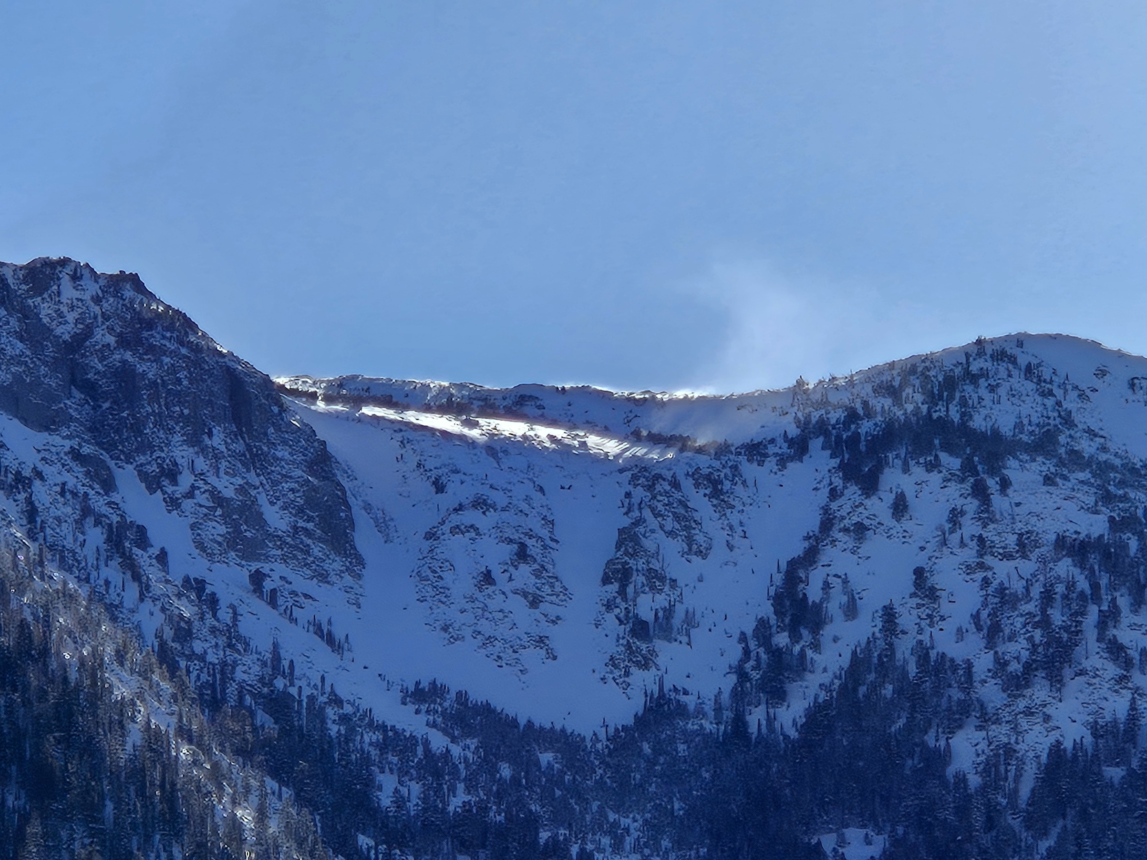
Beautiful, chilly day with increasing clouds and increasing north wind in the afternoon. Isolated, light, blowing snow from north winds. Moderate to large amounts of snow are available for N-NW winds to transport.
Snowpack
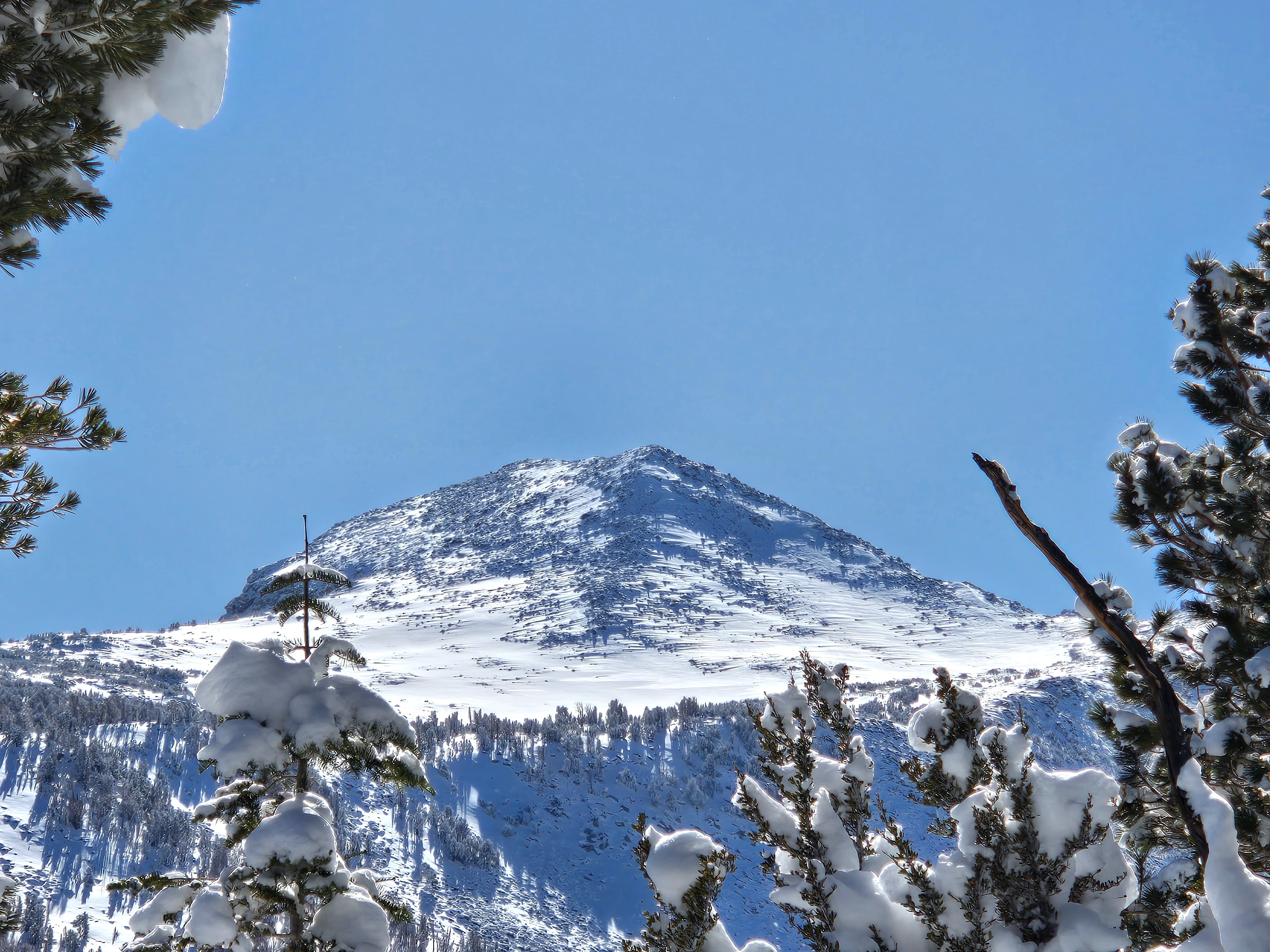
Unlike the Lakes Basin, there was no wind-affected snow to look at on the summit ridge of Bardini.
HST from 1/25-26 was 5 cm below 8500', 10 cm from 8500 to ~9500', 20cm to 10K', 30 cm above 10K. All low density.
The recent storm snow did not settle into a stiffer slab today despite warming temps.
On sheltered NW-N-NE above 8500', the storm snow rests atop either soft facets or a 4F faceting Crust. This is the most concerning interface between the new and old snow.
On E aspects above 8500', there is a hard melt-freeze crust under the new snow. Snow transitioned and became moist on solar aspects above 9000', and I found a surface melt-freeze crust on those aspects below 9000' on my exit where there had been cold snow in the morning.
Didn't see any natural sluffing on solar slopes. I kicked off some very small dry sluffs in the shade in the morning that didn't run very far.