
Quick report
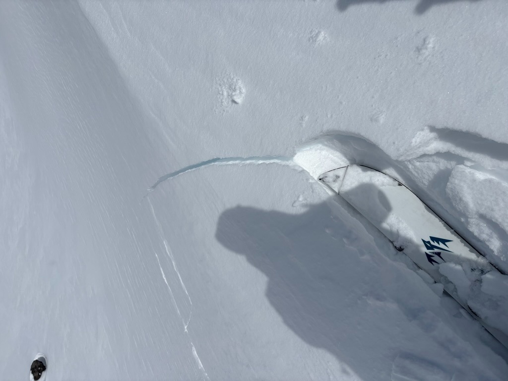
- Cracking
- specific
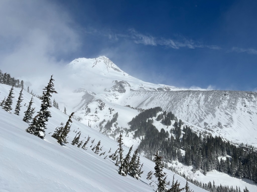
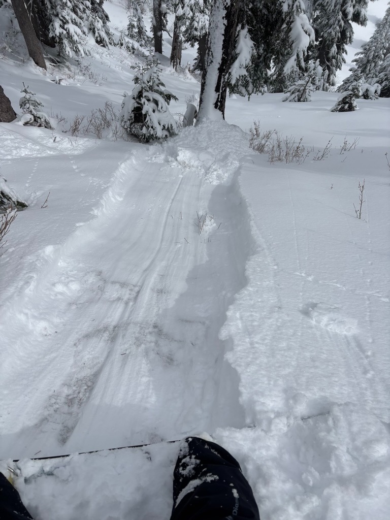
Meadows picked up roughly 10-12 inches by the time we started our tour at 0800. New snow fell over a widespread supportable crust and accumulated on a right-side-up profile thanks to a cooling trend. Throughout our tour, the new snow appeared well-bonded to this crust. Instabilities were mainly confined to wind-drifted features and sun-exposed mid/lower elevations where we pushed small wet loose on steeper slopes during intermittent sun breaks.
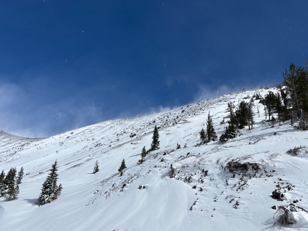
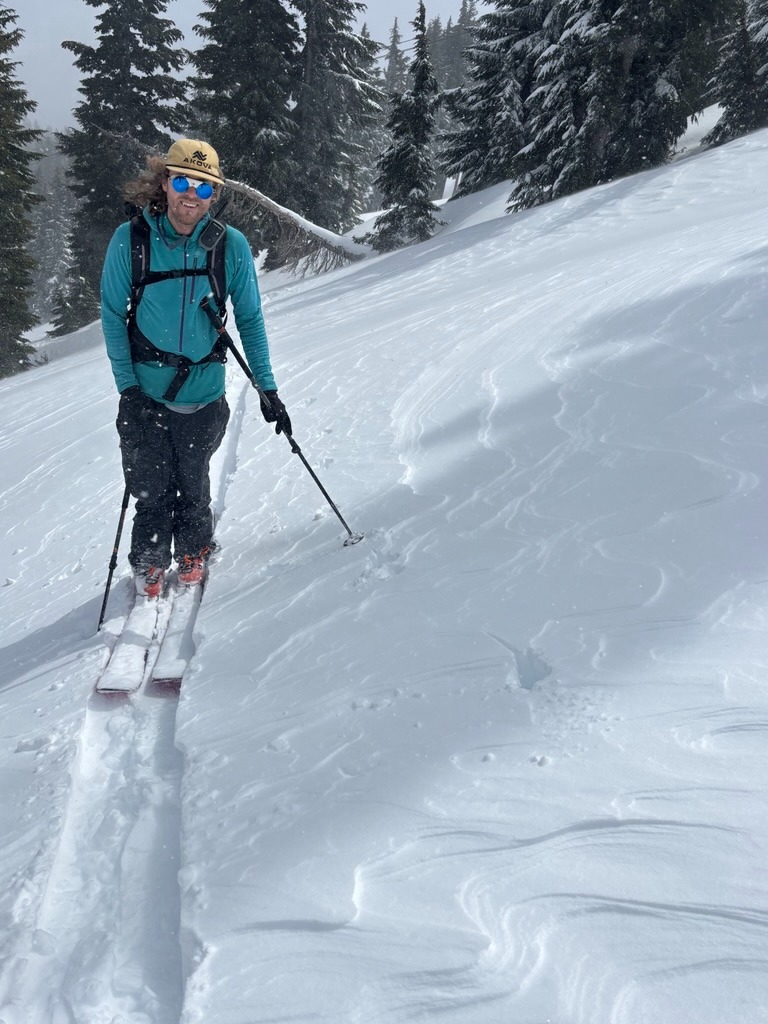
Strong winds lefts plenty of wind affected surfaces, even well into the lower elevations. While new accumaltions certaintly improved riding conditions where snow existed previsoly, it also reintroduced plenty of shallowly buried hazards on slopes that were melted out in days past.
Weather
- Air Temp
- 20s
- Cloud Cover
- broken
- Wind Loading
- moderate
- Rain Elevation
- 2500
- Recent Snowfall
- 30 cm
- Snow Avail For Transport
- large amounts
In typical spring fashion, the weather felt all over the place today. The start of the day was quite stormy with heavy accumulations of new snow. By mid-morning, snowfall rates relaxed and gave way to intermittent sun breaks and convective showers that would lay down additional quick accumulations. The clouds and stormy weather stalled right above Heather Canyon for much of our tour, with clearing skies further east.
Snowpack
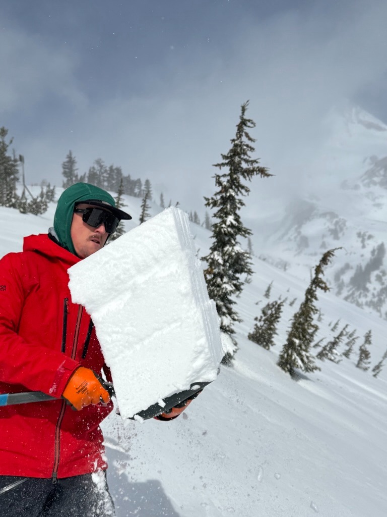
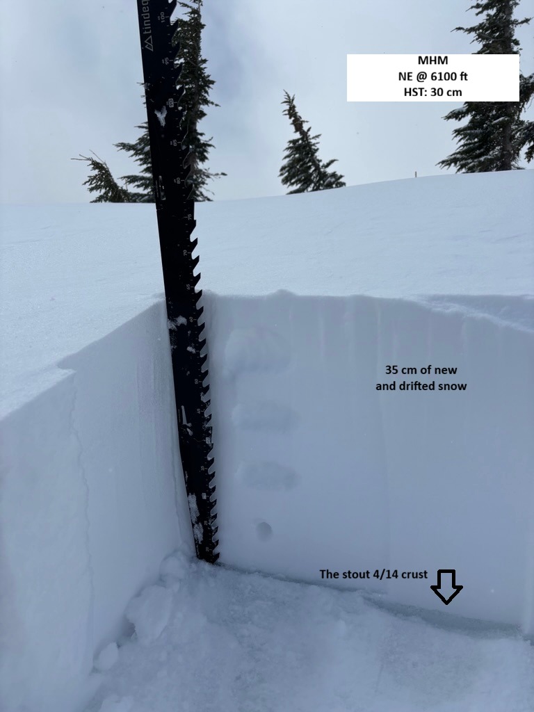
We found an average of 30 cm resting over the 4/14 crust. Wind loaded features harbored deeper drifts that ranged from 40-50 cm over this crust on middle elevation, east aspects.
Snowpack tests highlighted some mid-storm interfaces within the new or wind-drifted snow, but generally seemed well-bonded to the crust in the areas we dug between 5500-6100 ft.