
Quick report
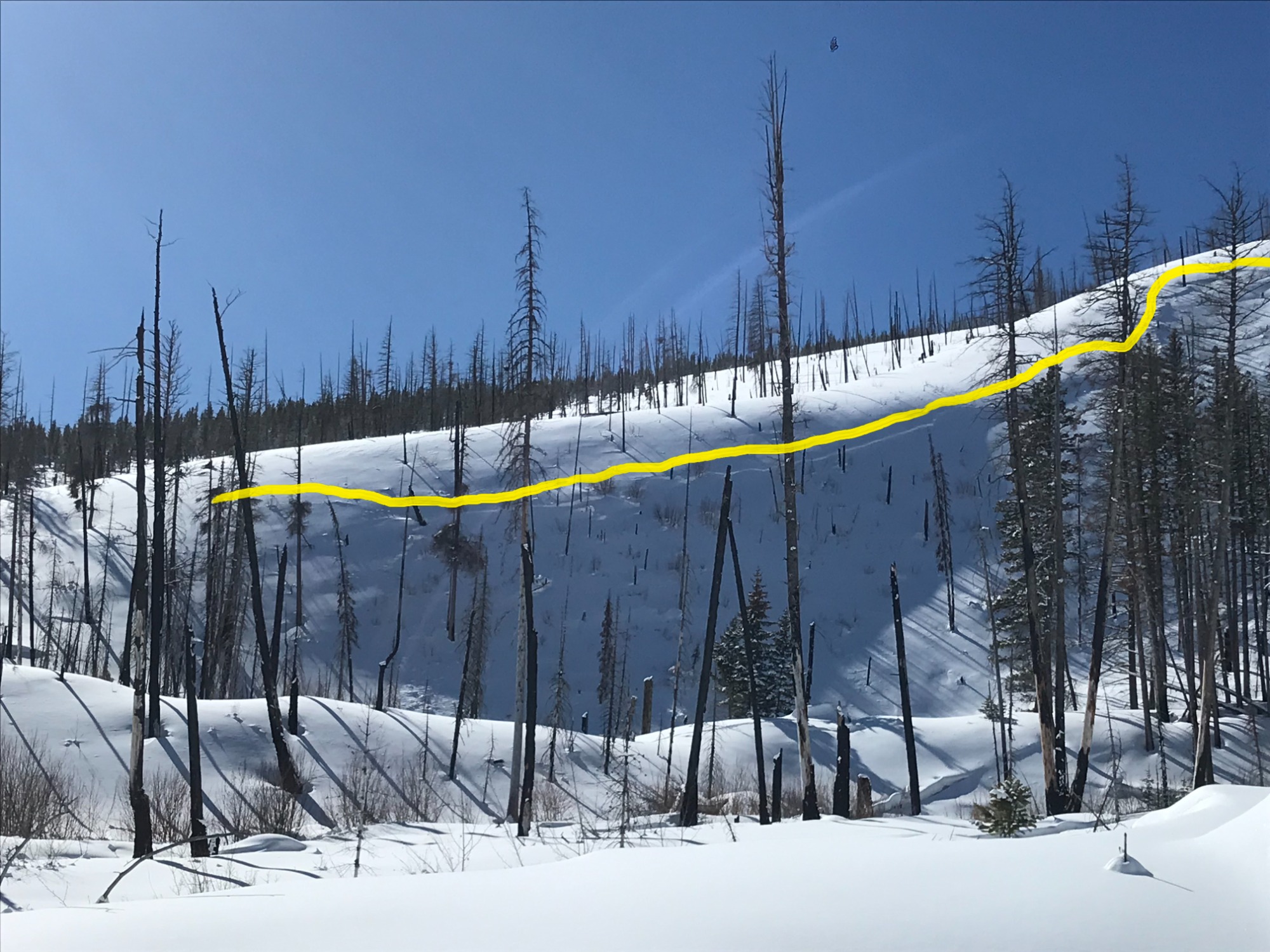
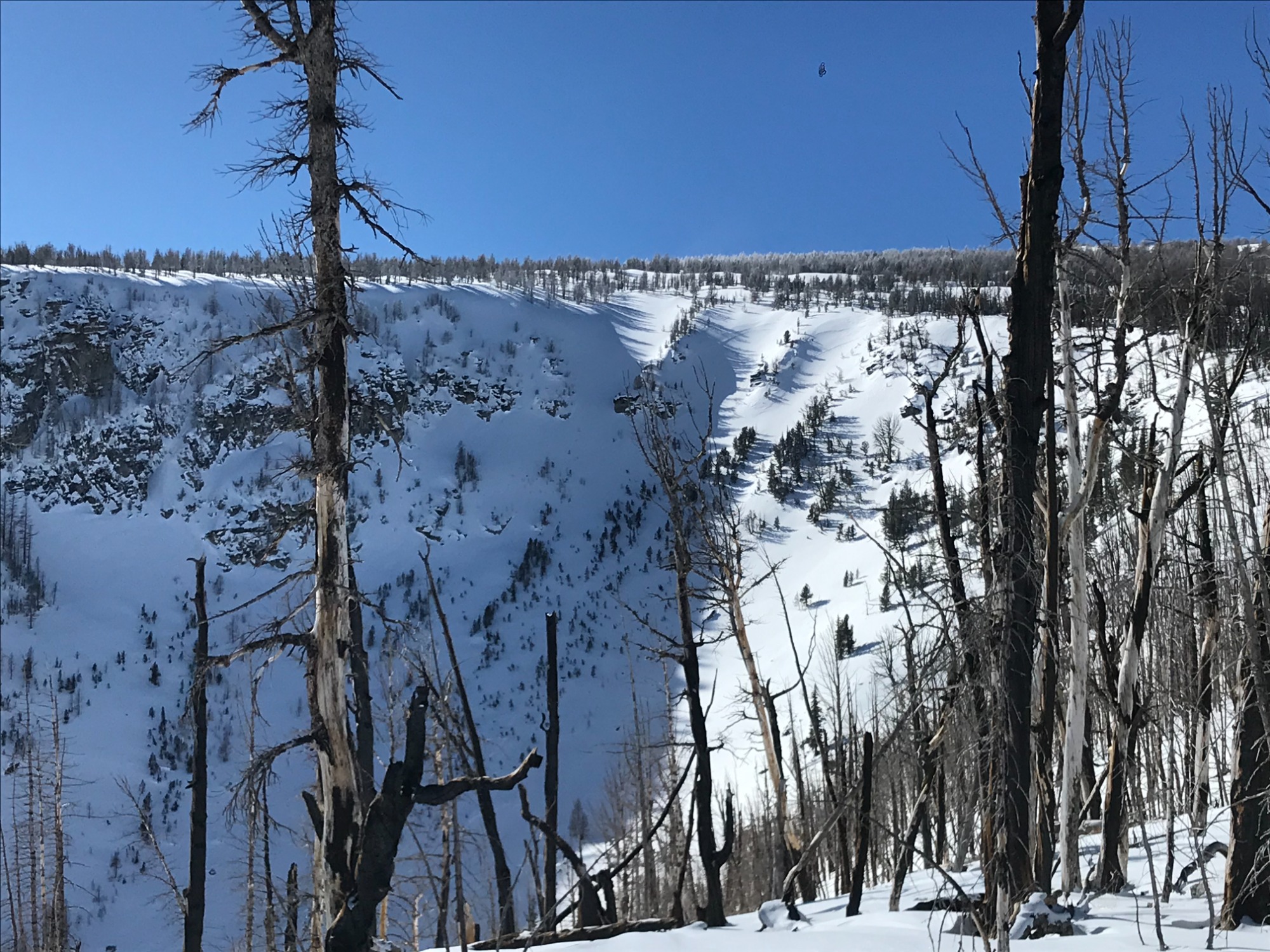
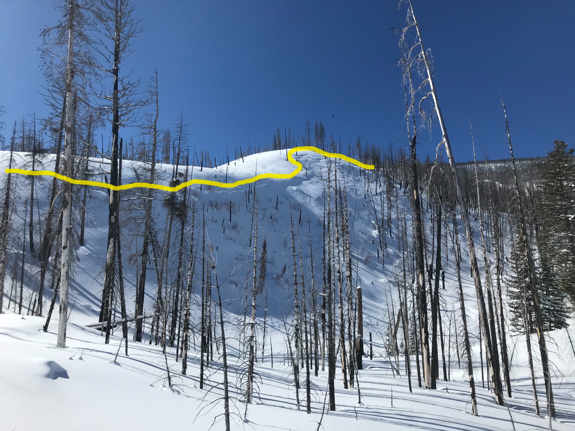
Signs of previous wind loading on N/NE aspects, even in terrain as low as 6500'. The observed natural avalanche was caused by wind loading in normally sheltered terrain. Check for wind loading on N/NE aspects, >35 degrees. Stability tests indicate that although the snowpack is right side up, the new snow hasn't completely bonded to the old snow surface. The new snow is low density F/4F and hasn't consolidated into a slab. While the snow stays cold, there is potential for sizeable sluffing in steep terrain. Post storm winds yesterday, above 8000', have slightly impacted the snow surface but no fresh wind slabs were observed. No signs of instability observed today.
Weather
- Air Temp
- 5-18F
- Cloud Cover
- clear
- Wind Loading
- previous
- Rain Elevation
- Not Observed
- Recent Snowfall
- 25CM
- Snow Avail For Transport
- none
Clear sunny skies until mid-afternoon, when increased cloud cover arrived from the west. Temperatures were cold early 5F (-15C) rising to the upper teens 18F (-8C) by mid-day. Mostly calm winds with only an occasional light breeze from the west <5MPH.
Snowpack
New snow amounts from earlier this week: elevation 4300' = 2" (5CM), 5000' = 4", (10CM) , 6000' = 6-8" (15-20CM), above 7000' = 8-14" (25-35CM). Still minimal coverage below 5000'. New snow below 6000' is sitting on a firm, supportable crust. At 7600' on a NE aspect, the total snow depth was 170cm. Stability tests indicate the 10" (25CM) new snow (F-4F) is still bonding with the old snow surface (1F). CT 13, CT18 @ 25 SP, ECTN 21 @ 25.
Avalanche
- Size
- D2 R2
- Type
- SS
- Aspect
- N
- Trigger
- N
- Elevation
- 6500 ft
Previous avalanche that occured earlier this week during the storm. Wind loaded slope >40 degrees that failed on the new/old snow interface.