
Quick report
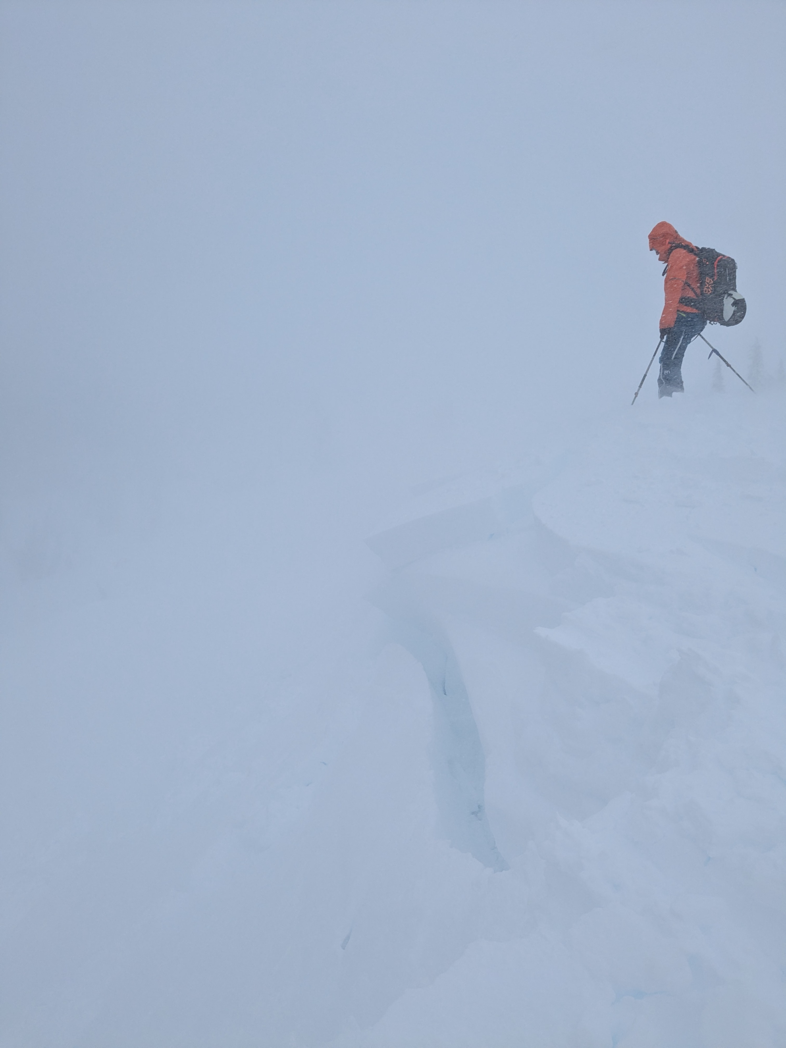
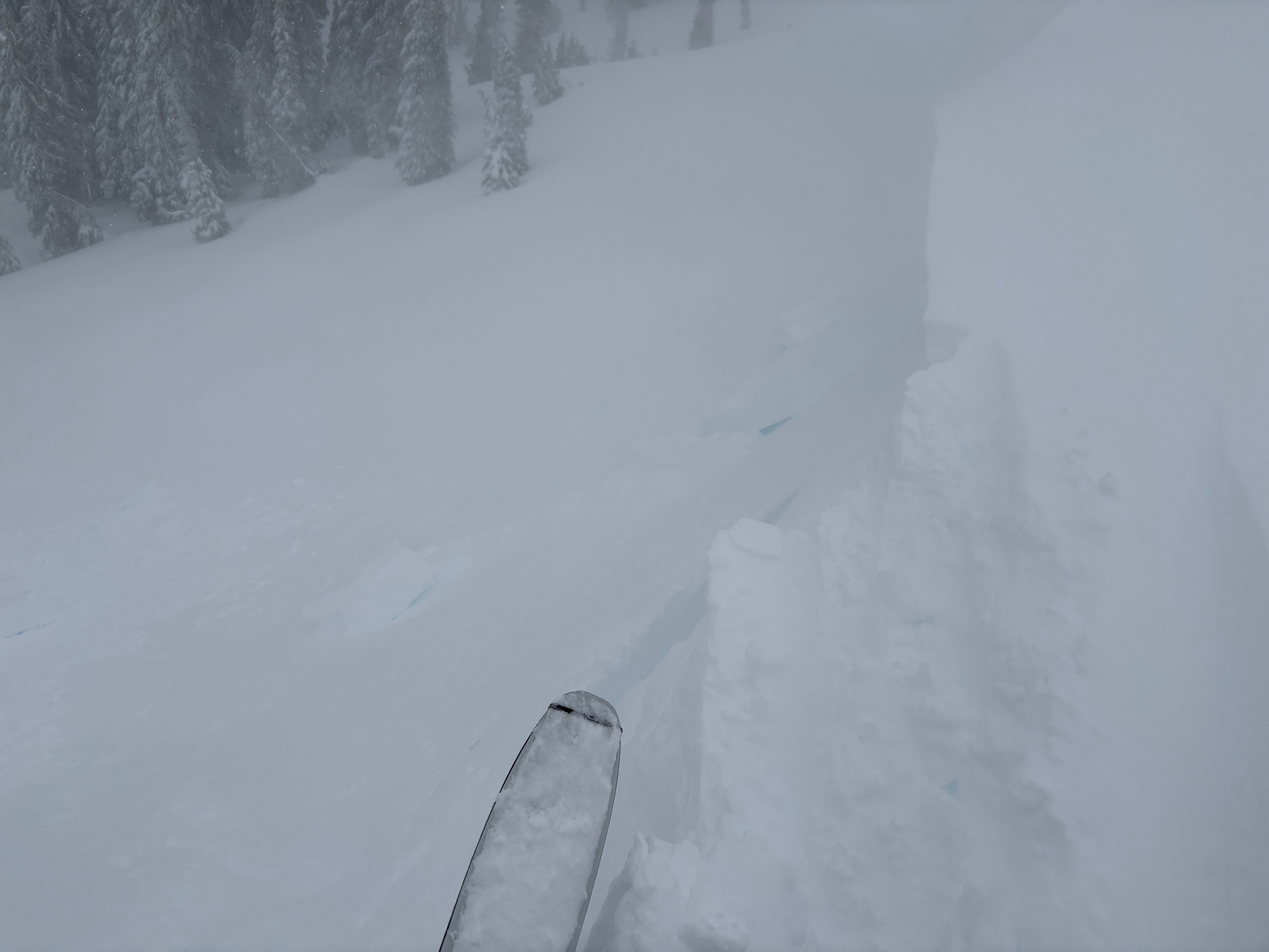
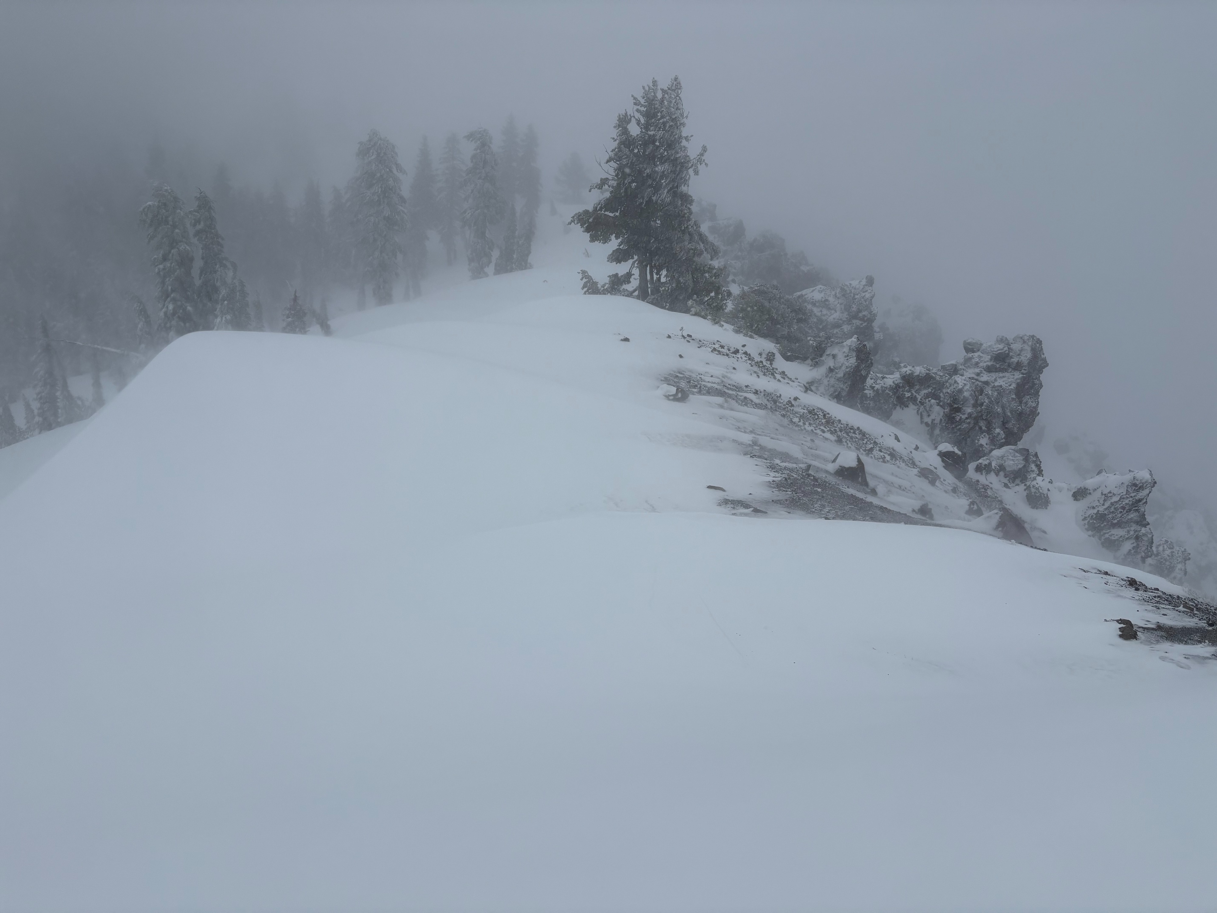
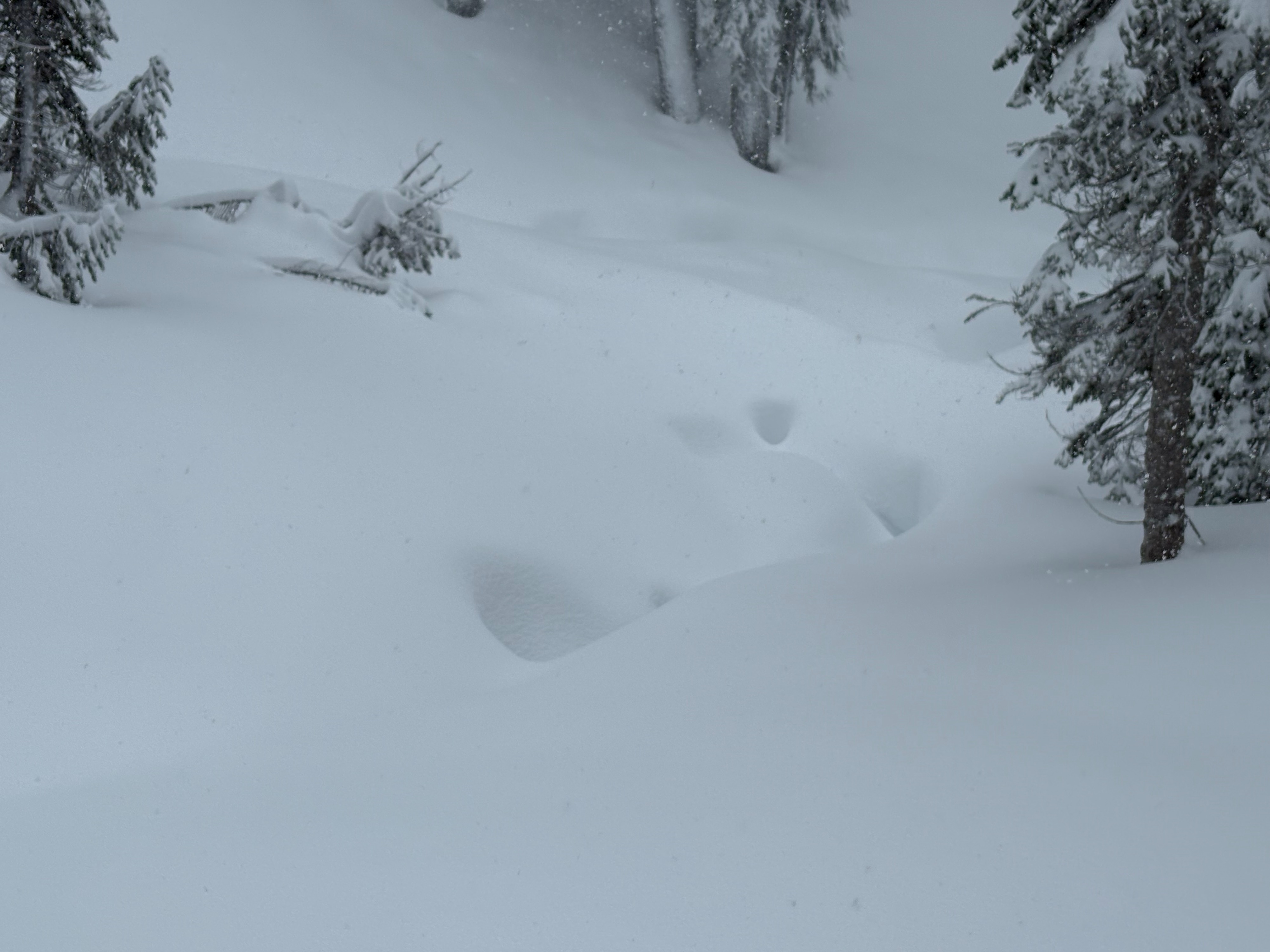
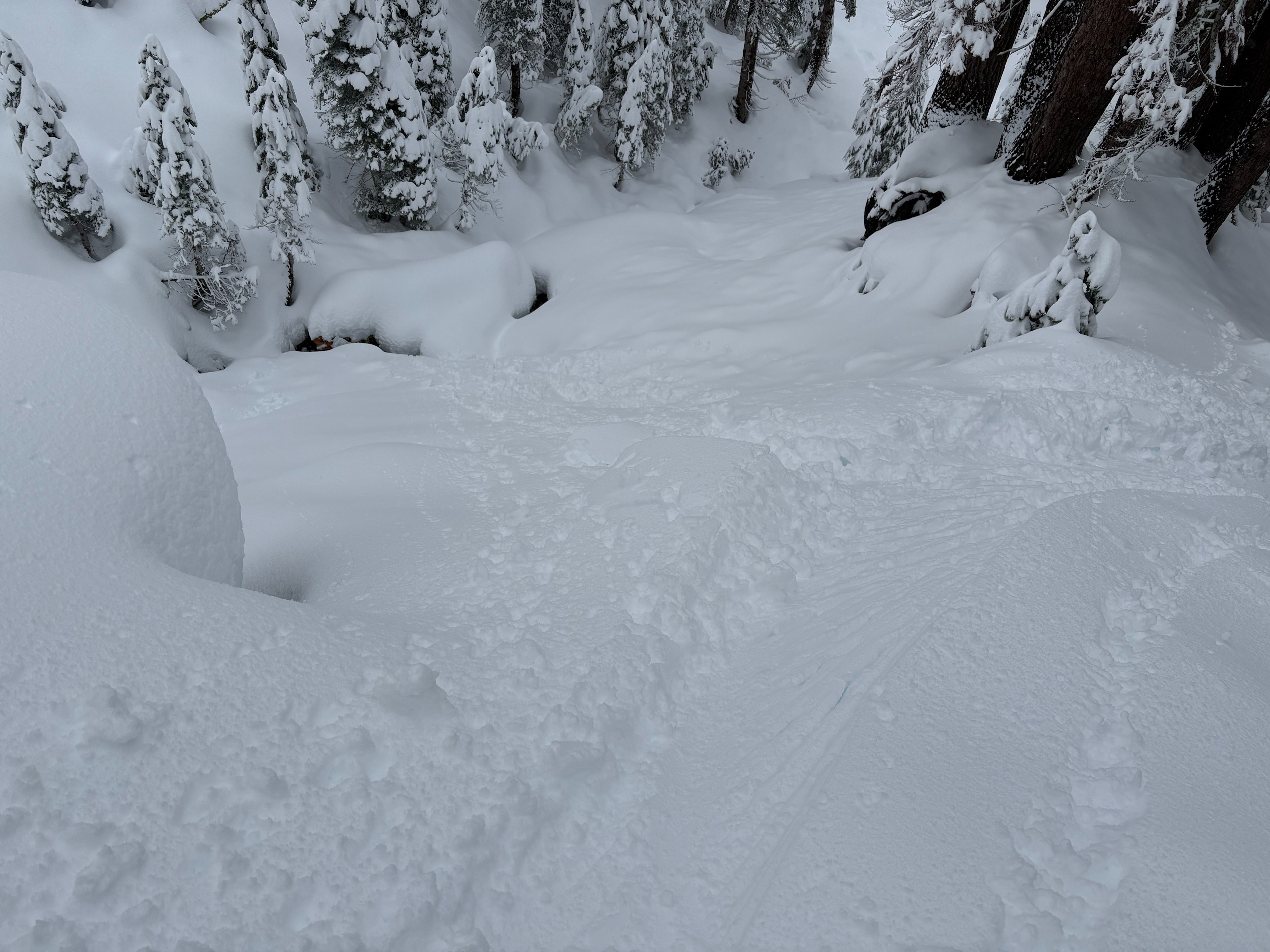
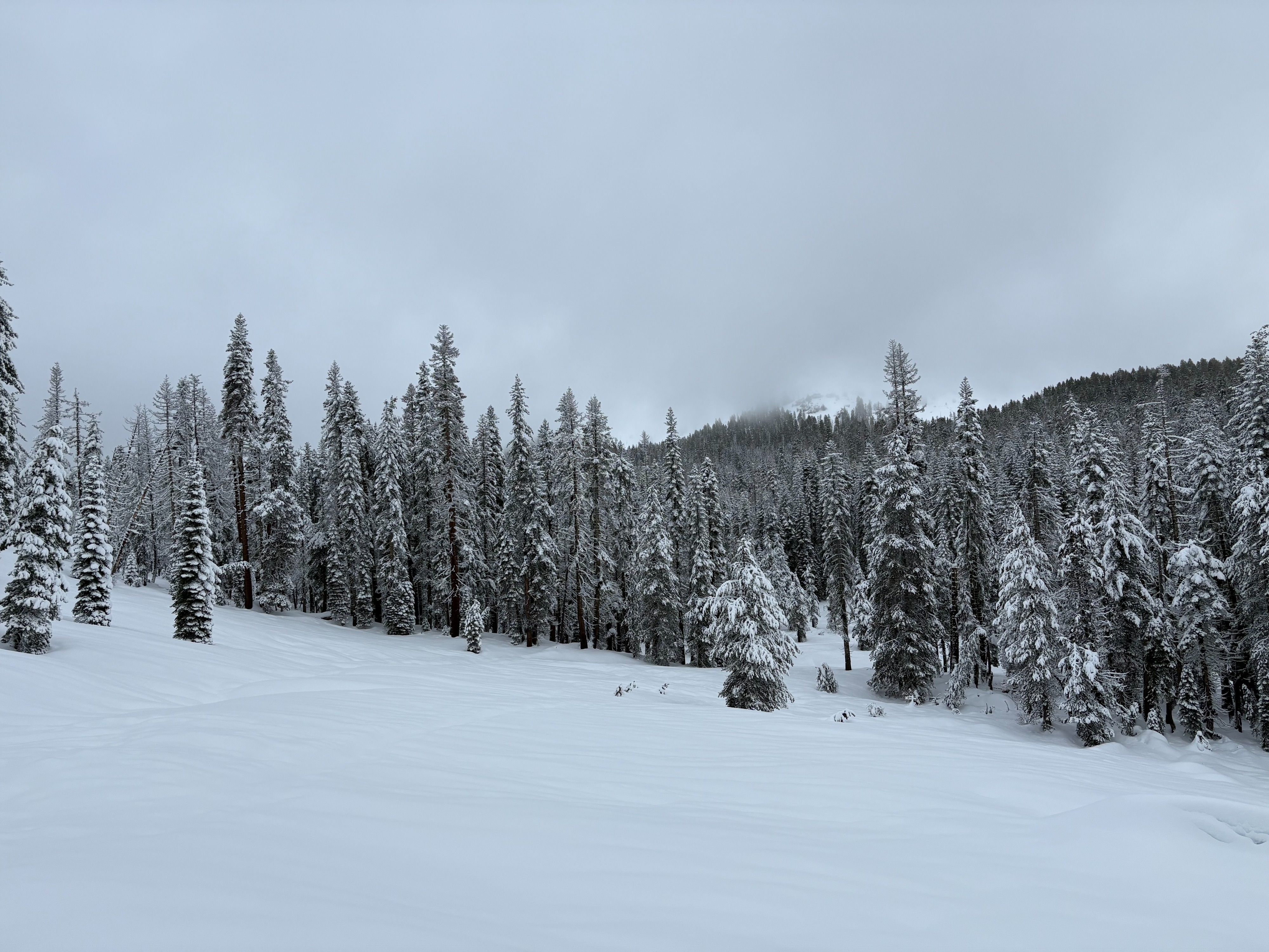
We went to Castle Peak today to monitor the continuing storm. Around 6'' of new storm snow existed this morning below 7500' with up to 12'' above 8000' with another 6'' of new snow falling today above 8000' and a few inches below 7500'. The storm snow was high density at all elevations with some wind surface texture at higher exposed locations. Newly formed cornices were easy to break off with ski kicks. Areas with wind drifted snow were much deeper, but showed limited signs of instabilities with some minor cracking. Storm slabs in wind protected terrain also did not show signs of instabilities. Storm intensity was varied with generally light snow with some periods up to 1''/hour. Visibility was limited and we were not able to see some of the larger avalanche terrain in the area.
Small cracking in wind drifted areas and cornices were mostly easy to break off with ski kicks.Weather
- Cloud Cover
- overcast
- Wind Loading
- moderate
- Rain Elevation
- 6600'
- Recent Snowfall
- 15
- Snow Avail For Transport
- moderate amounts
Cloudy skies with snow throughout the day. Snowfall rates varied with up to an additional 6'' of snow above 8000' and a couple inches below 7500' falling today during our time out. There were many breaks in the storm, especially at lower elevations. SW winds were mostly strong to gale force above 8000' moving moderate amounts of snow.