
Quick report
- Cracking
- isolated
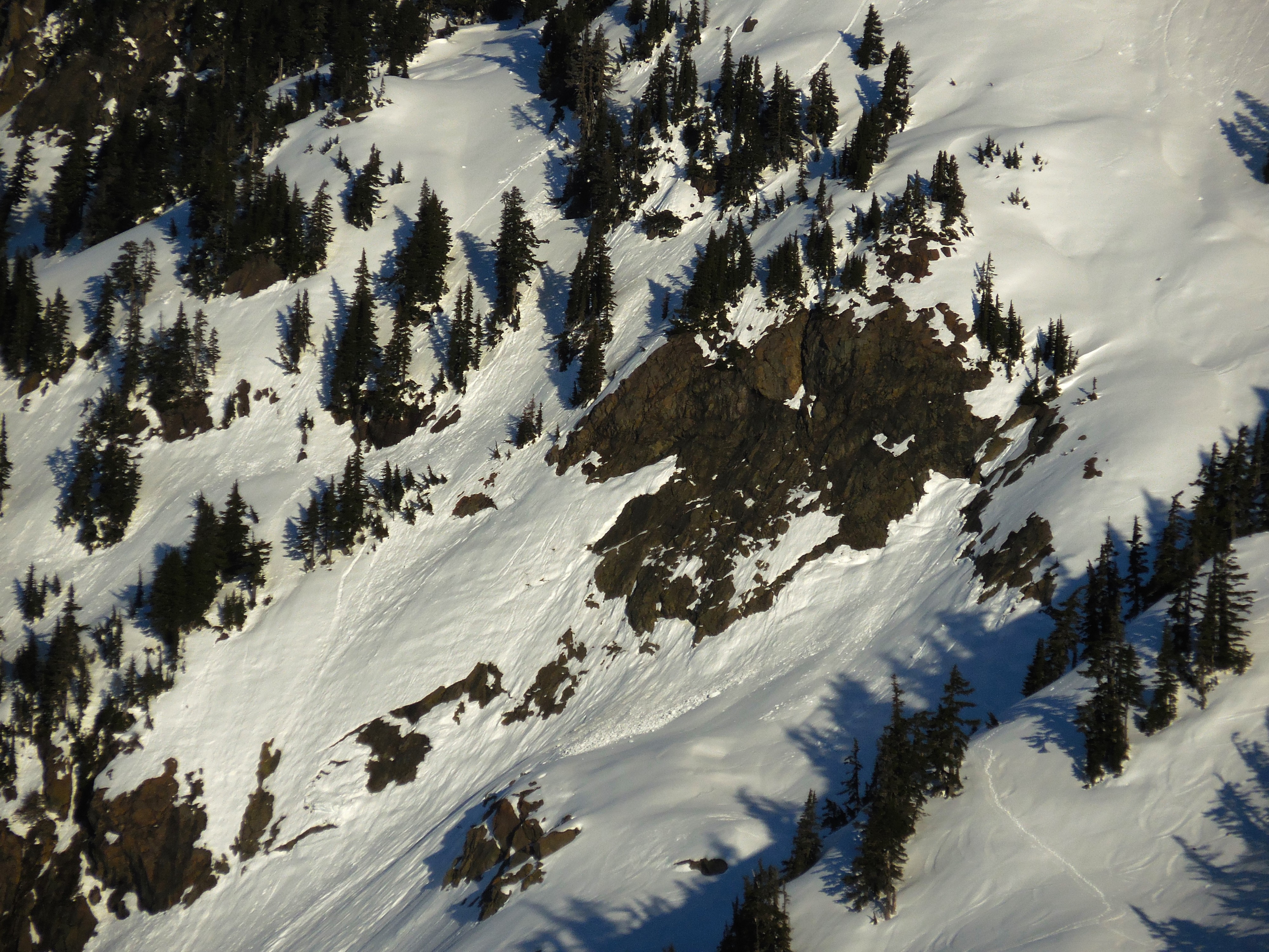
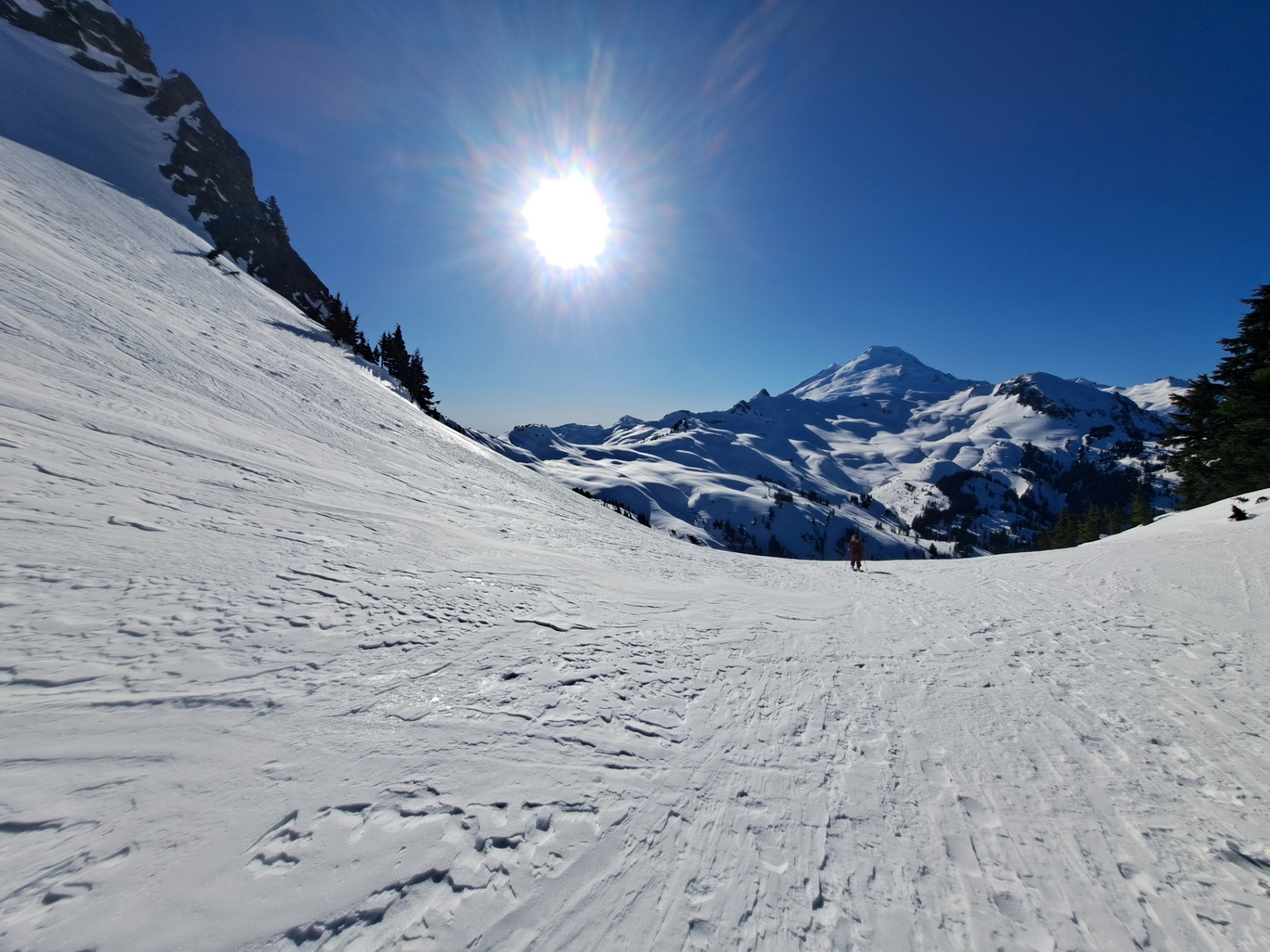
Low danger verified today with no active wind transport and minimal warming. Snow conditions were the biggest limitation on travel with the slickest snow found in treed terrain or on steep sun exposed aspects. Good snow is still available on shaded and wind sheltered slopes, or those that picked up some wind drifted snow in the last 24-48 hours. Many low and mid-elevation slopes already produced wet avalanches with prior warming, even on northerly aspects at low elevations. But there are still lots of glide cracks, funky-looking, wrinkled snow, and snow chunks perched in cliffy terrain that could weaken with three or more days of warming starting on Sunday.
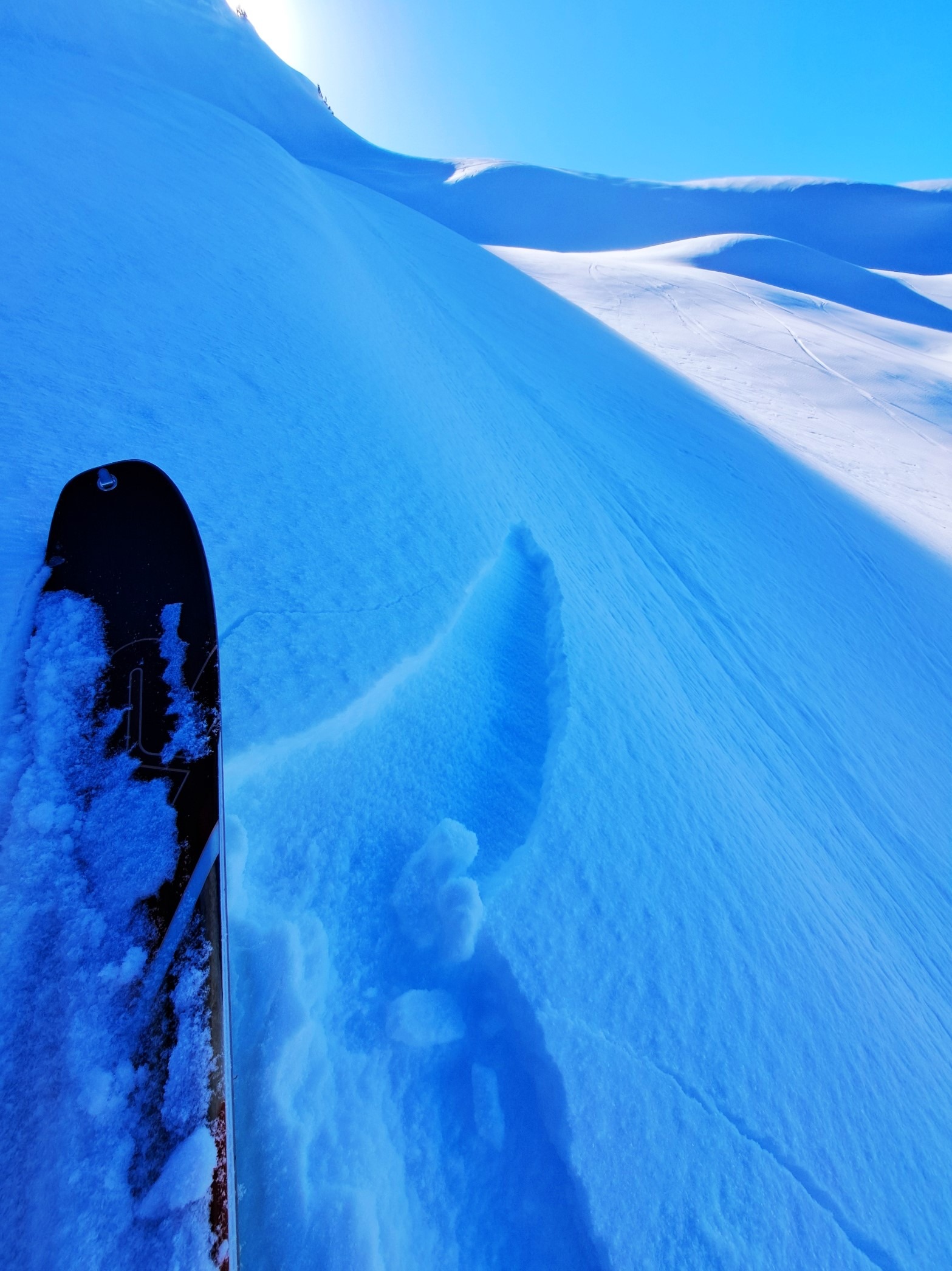
Small wind loaded features would produce some cracking and even release like a slab, but were only a few cm's thick.Weather
- Cloud Cover
- clear
- Wind Loading
- previous
Sunny and clear all day. Light easterly winds faded away by 10am.
Snowpack
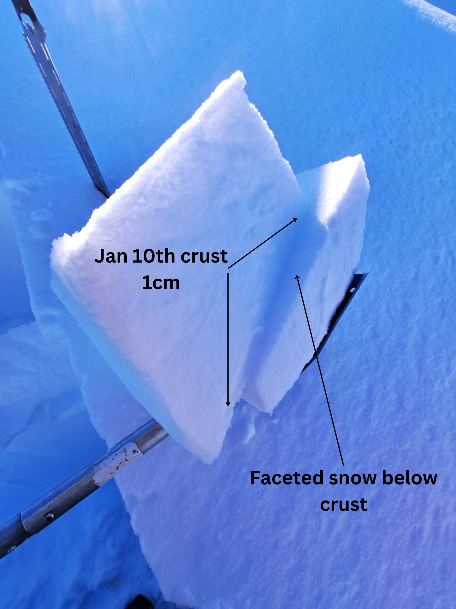
The few cm's of recent snowfall from 1/23 has been wind redistributed onto westerly and southerly aspects. Many other slopes have sun, temperature, or wind crust at the surface. Facets to 2mm on all aspects wherever there is soft snow at the surface. Layers of faceted snow and thin crusts down to and below the Jan 10th crust (down 25cm). This crust is breaking down and has become brittle. ECT's could not produce a propagating fracture. CT results were mixed with a mixture of rough and planar shears in faceted snow above and below the thickest crust. Small rounded grains in layers below are showing signs of faceting. 12/21 crust down 100-200cm depending on aspect, elevation, and wind exposure.
Avalanche
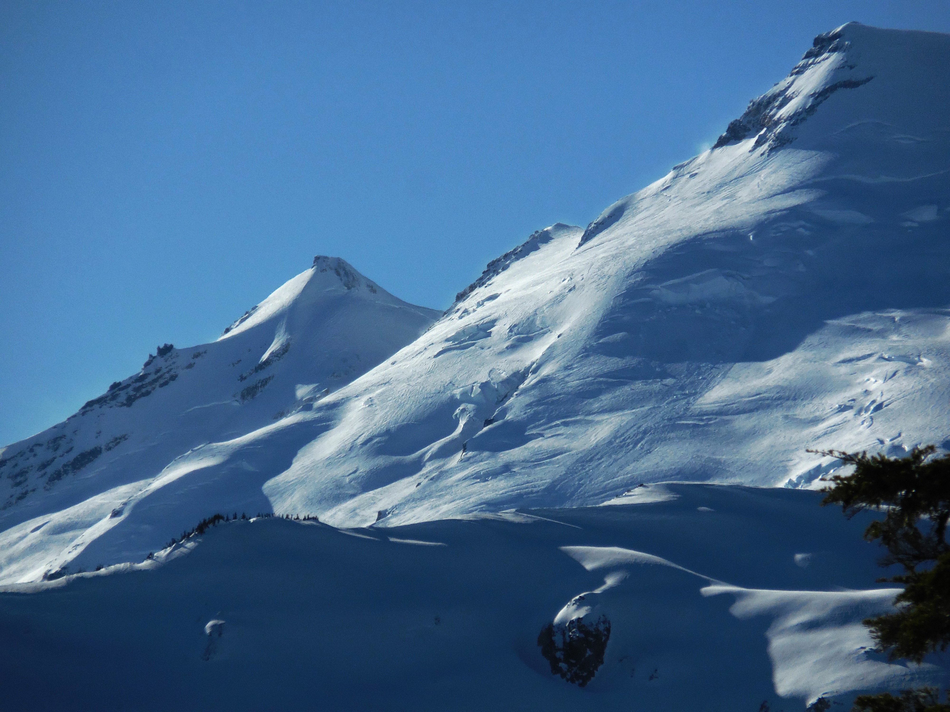
No new avalanches observed other than an icefall on the Park Glacier.