
Quick report
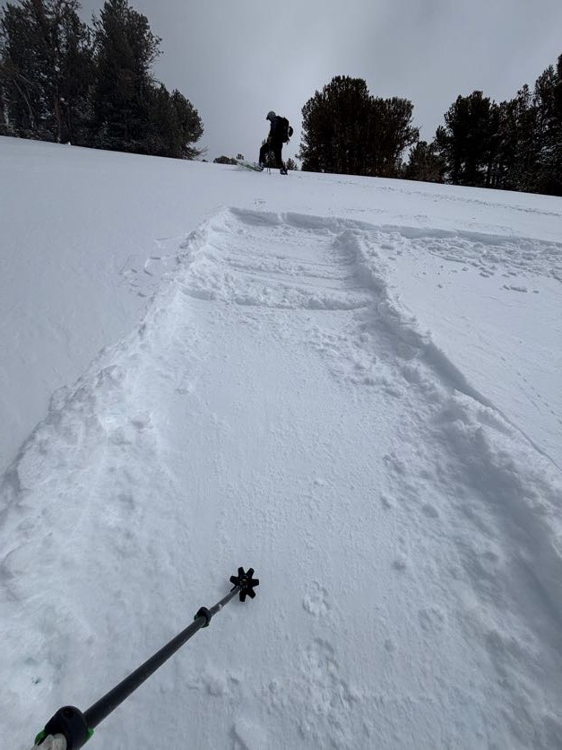
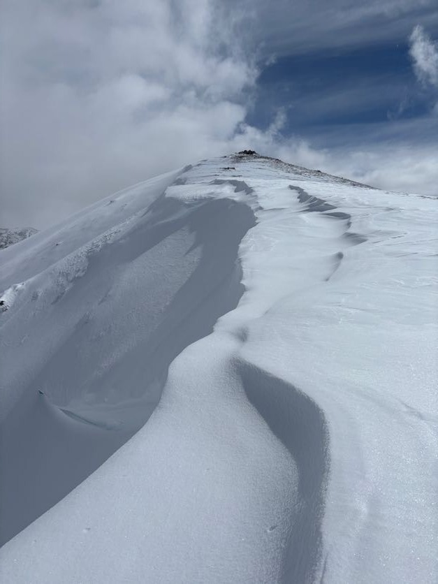
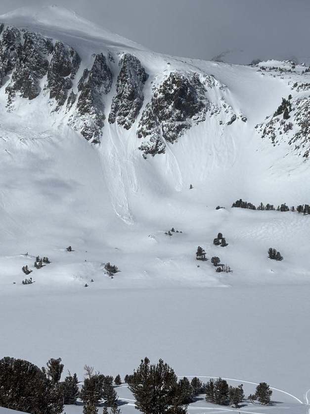
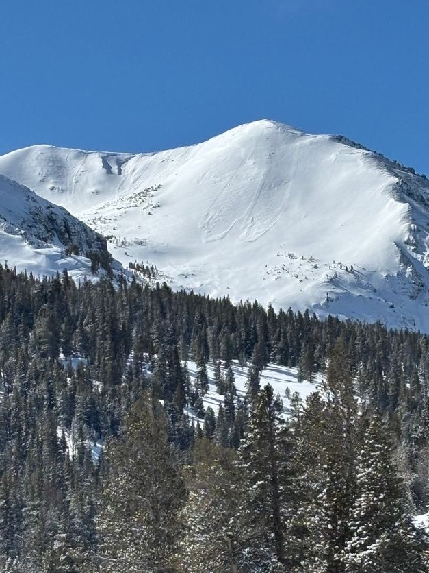
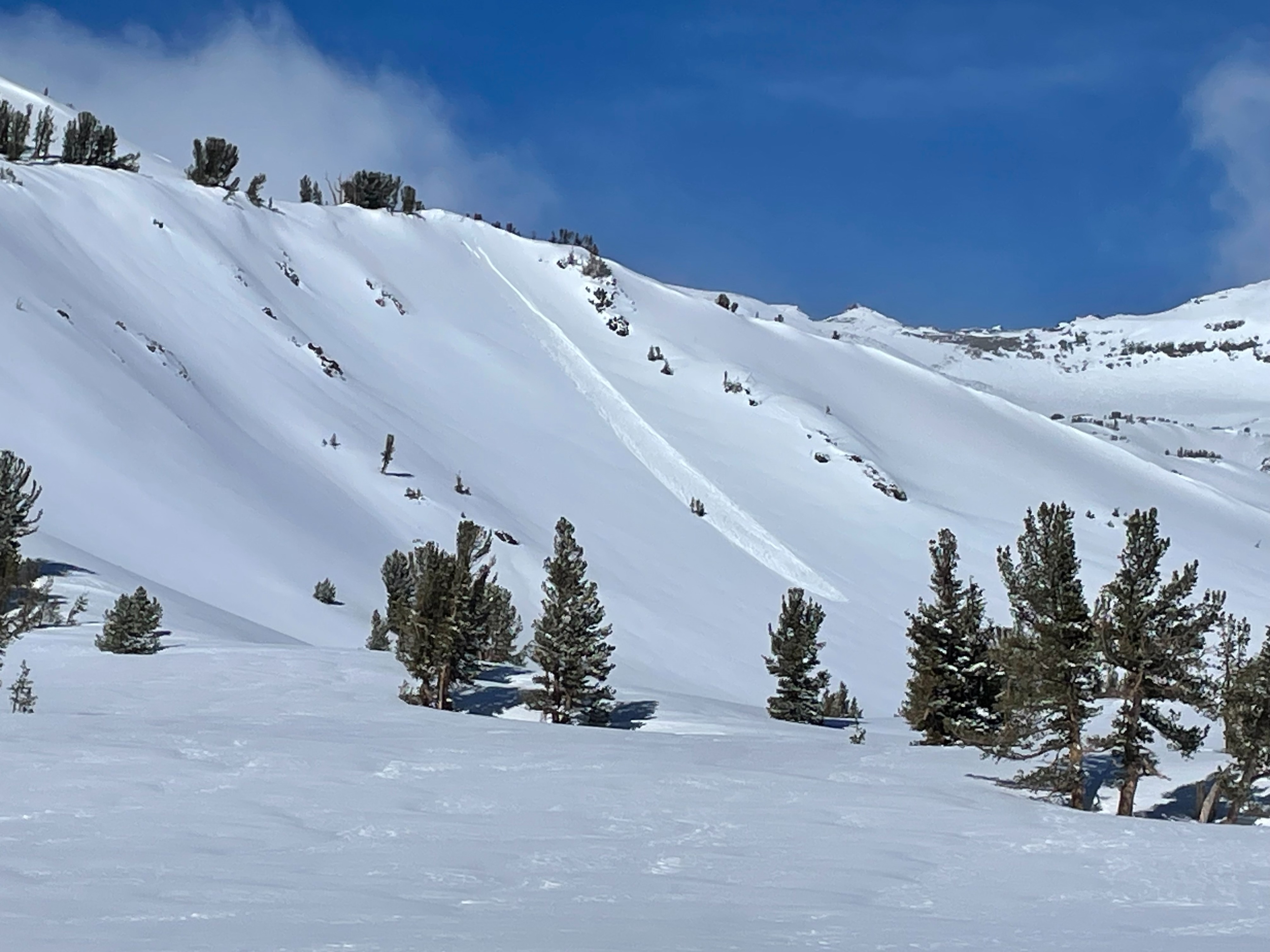
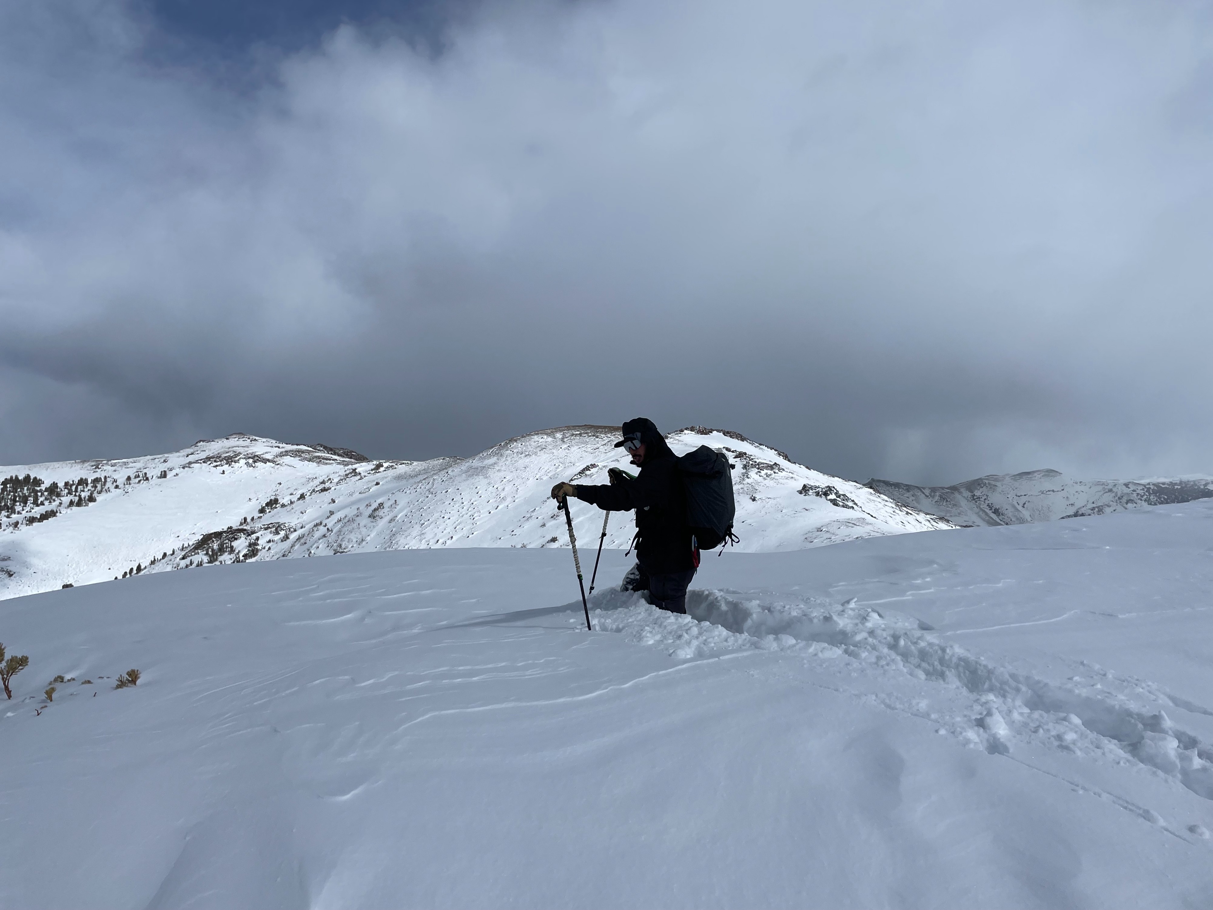
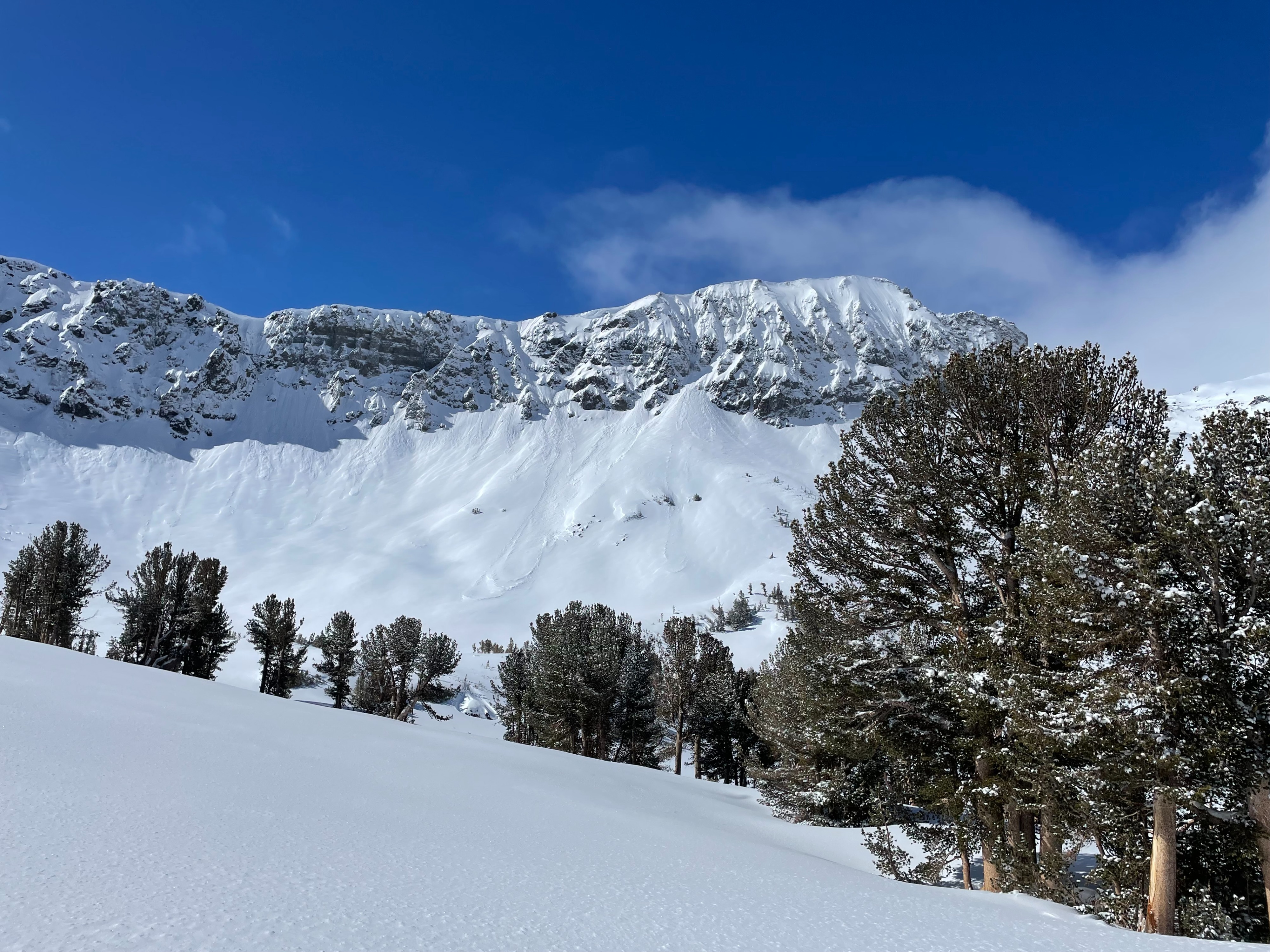
Today we went to the Leavitt and Ski Lake area to observe conditions post storm. We saw evidence of many natural dry-loose avalanches on all aspects in the D1 to 1.5 range. Most of these looked to have occurred during the storm but some looked more recent. There was around 9 to 12 inches of new mostly low-density snow with higher amounts in drifts. During our limited travels we found some surfaces that were wind-textured and some drifts but did not encounter any real slab. With the low-density snow in abundance, a soft slab could develop easily with increased winds. Air temperature stayed cold throughout the day, and we did not feel significant warming of snow surfaces. On a SW aspect, we could feel the underlying crust a bit more than on northerly aspects. Low elevations did not receive much new snow, maybe up to 3 inches.
Weather
- Air Temp
- below freezing
- Cloud Cover
- broken
- Wind Loading
- none
- Recent Snowfall
- 22 to 30 cm
- Snow Avail For Transport
- large amounts
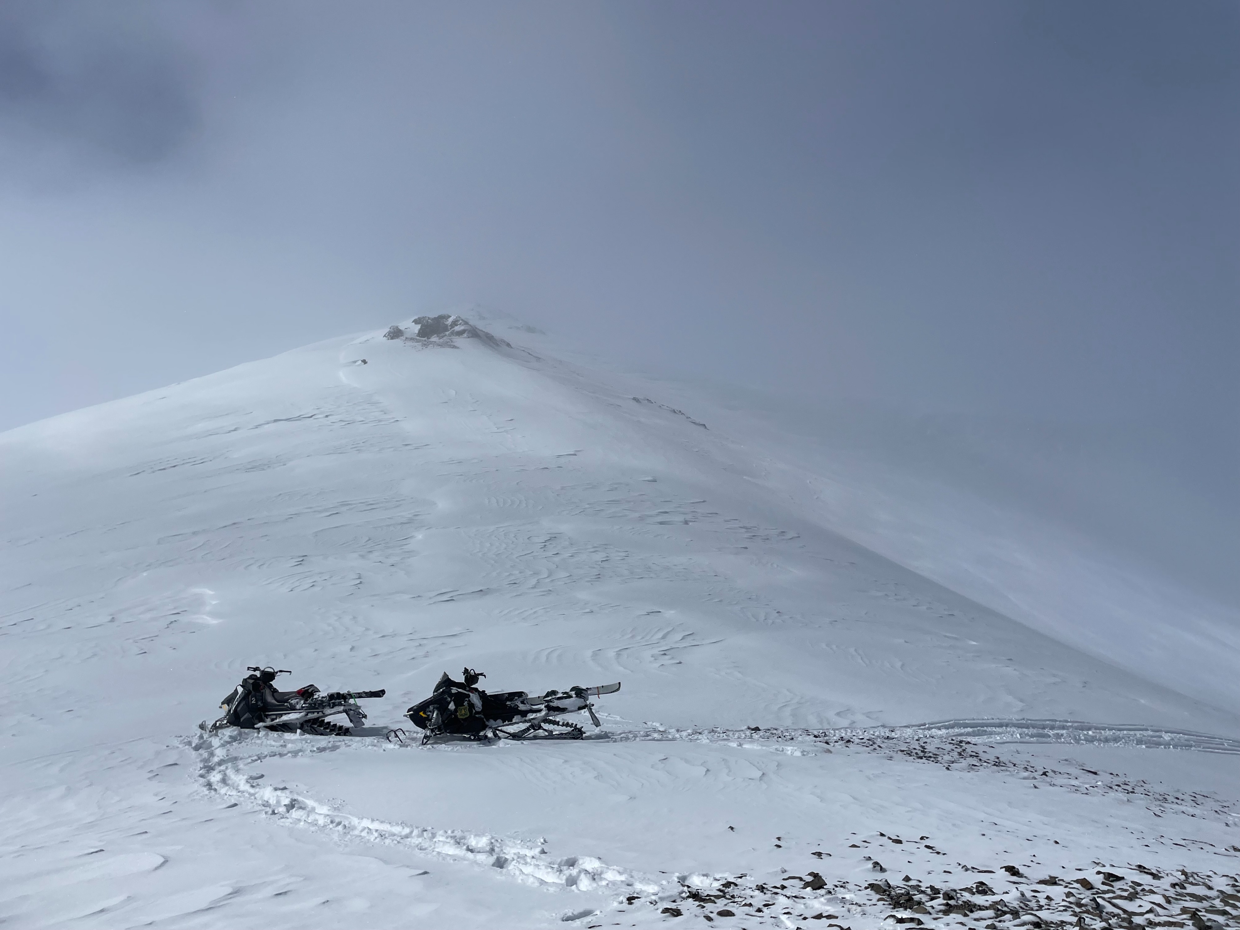
Partly cloudy skies at People's gate. More cloud cover at the Leavitt Lake area with flat light, light snow showers and low clouds at times. Light winds on ridgelines.
Avalanche
Numerous natural dry-loose avalanches on all aspects size D1 to 1.5. Most of these looked to have occurred during storm event, but some looked to be a bit more recent.