
Quick report
The overarching objective of today's tour was to gain a general assessment of the new snow, wind slab formation, and the new snow's interaction with the New Year's ice lens. Would it be a volatile party or a cordial greeting? The other factor of interest was purely surviving the tour and not going airborne from the 70 mile per hour winds pummeling the upper mountain.
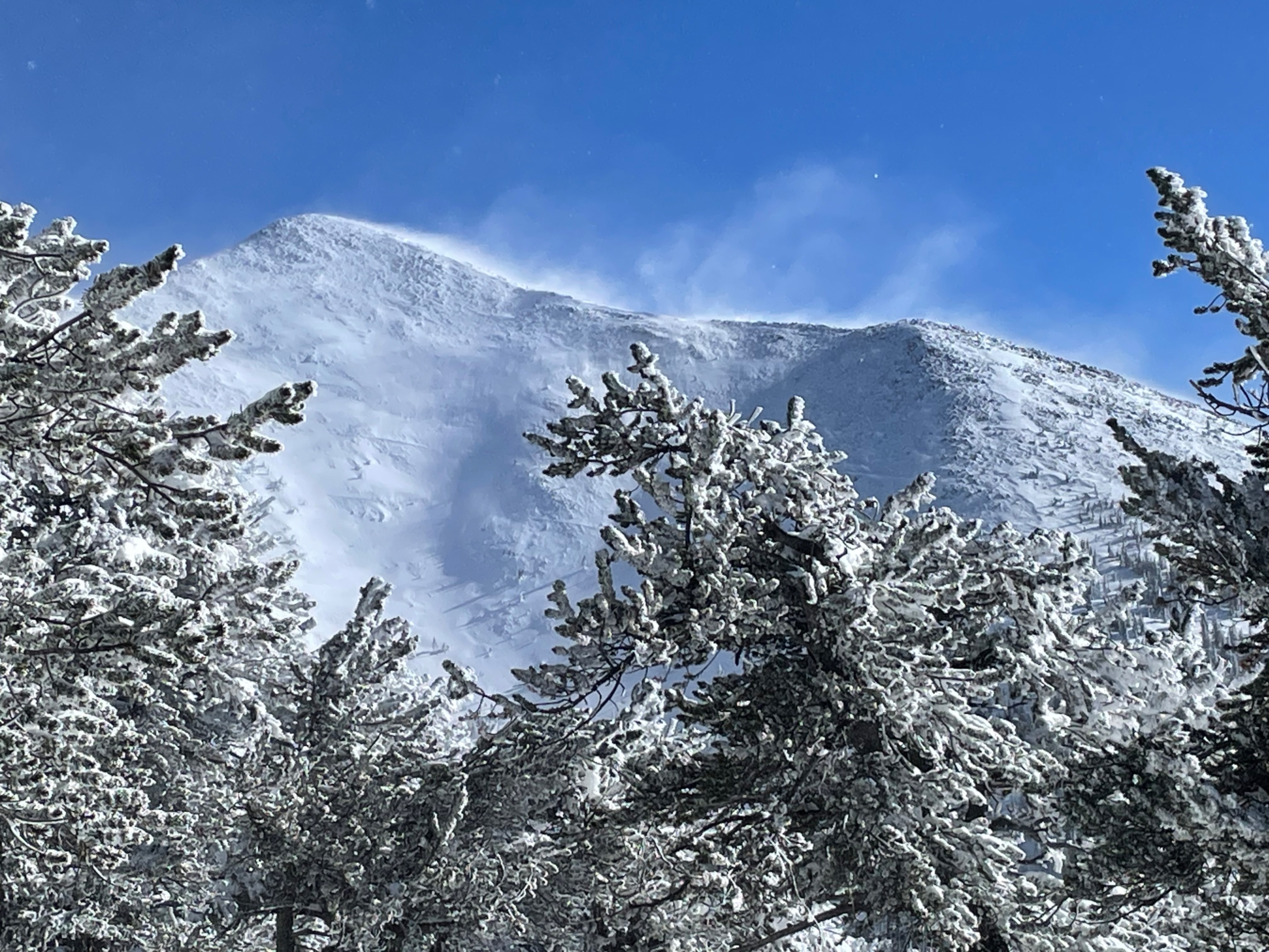
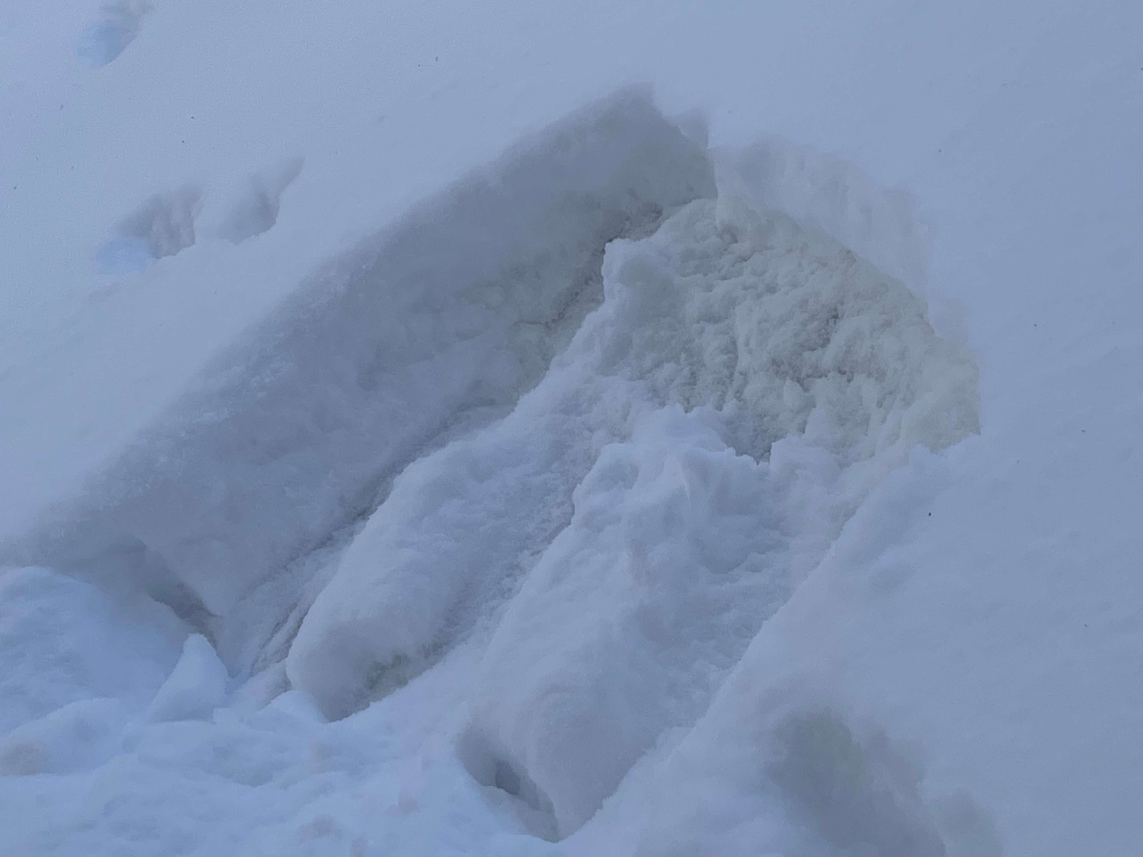
In summary, no storm slab or persistent slab instabilities were observed associated with the new snow, while high winds have stripped most above treeline terrain and winds have formed some small wind slab in near tree line. Snow depths on west aspects at 10,500 ft. averaged 60 cms, and at higher elevations in protected locations the snowpack increased to around 90cms. A simple break down from the top would be 30 cms of new snow, 10 cms of ice lense (knife to ice hardness), and 30 cms of facets. In general few signs of instability were found today, but given the conditions it's possible that certain starting zones of large avalanche paths are being significantly loaded.
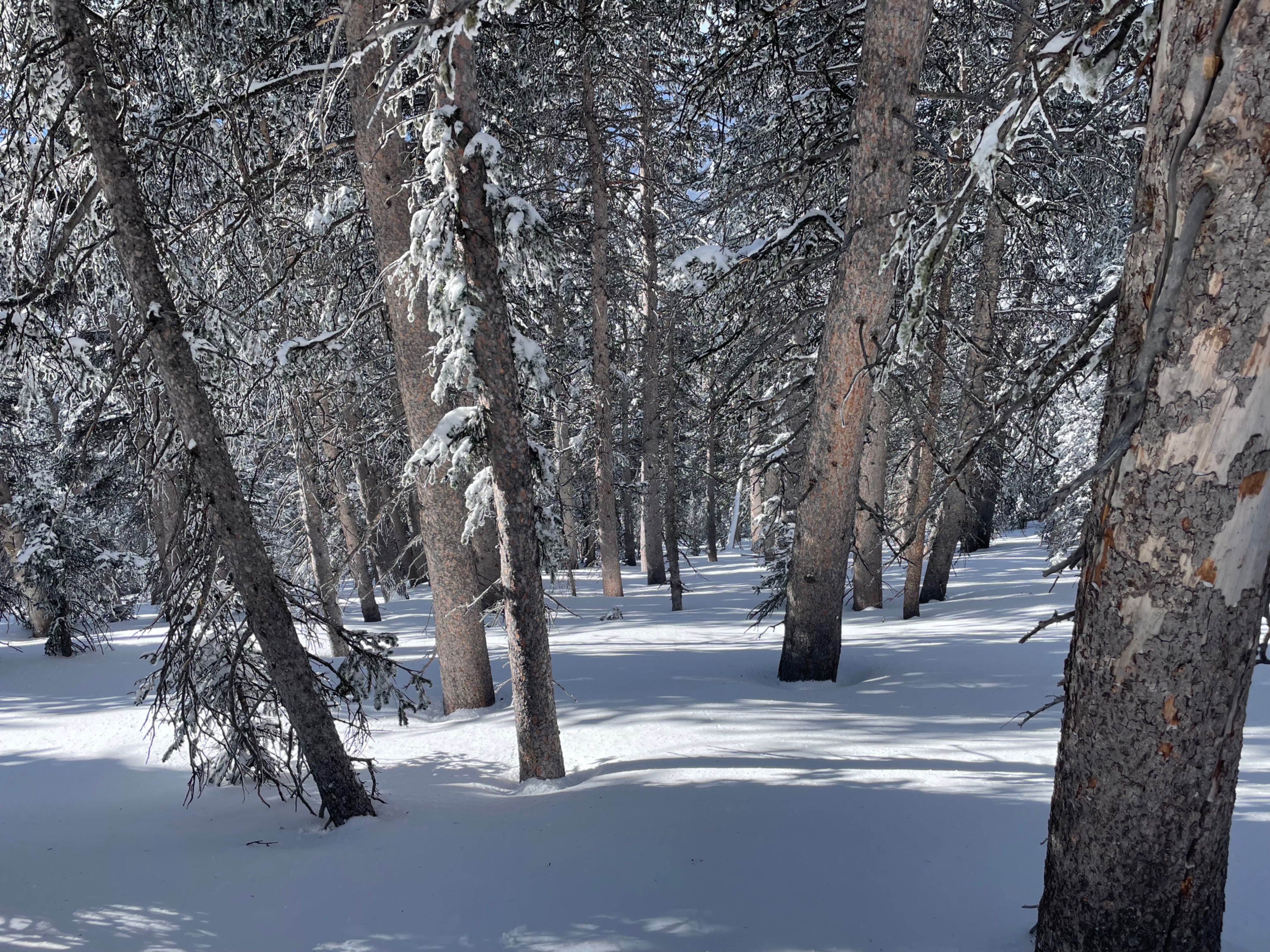
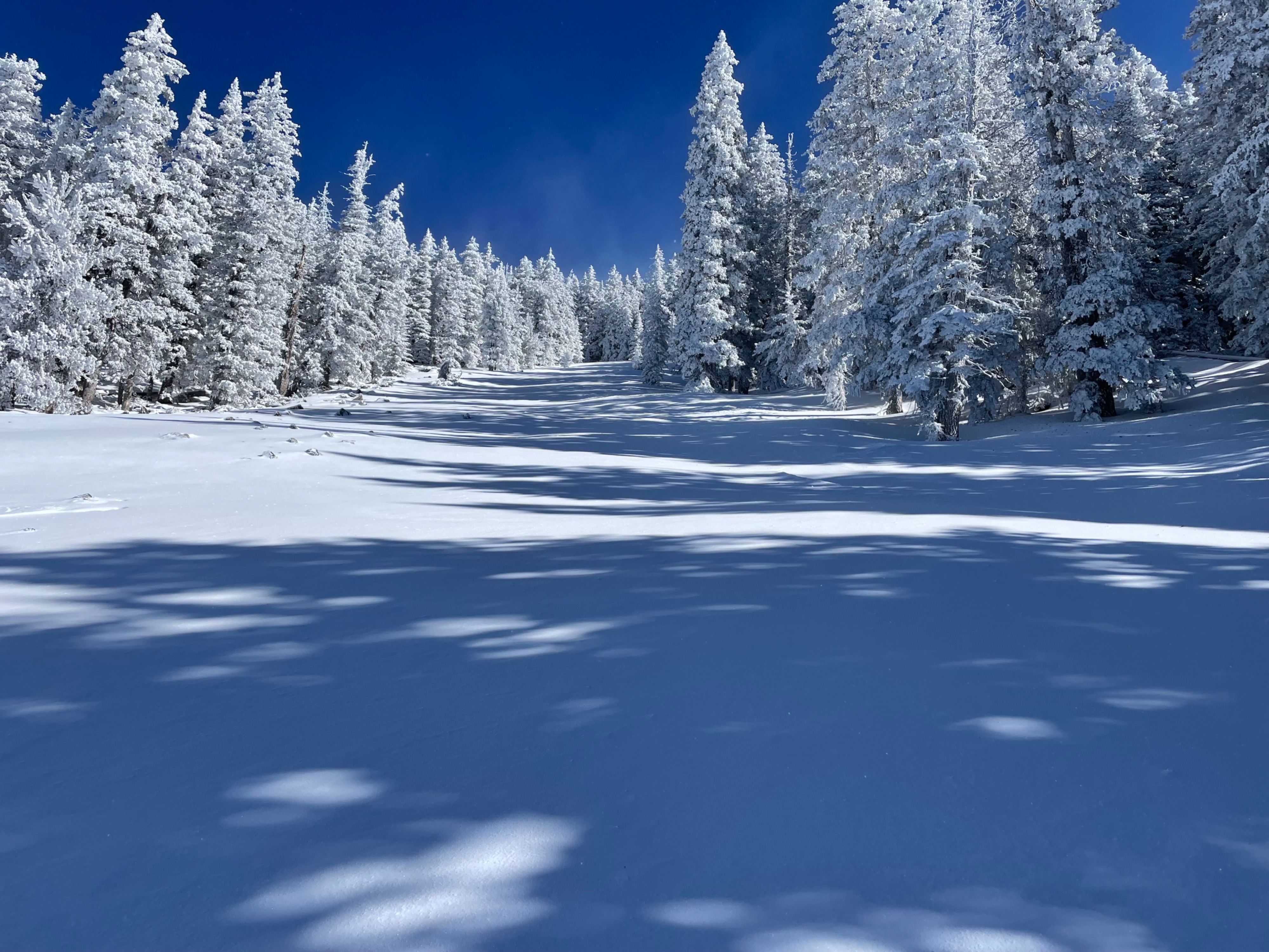
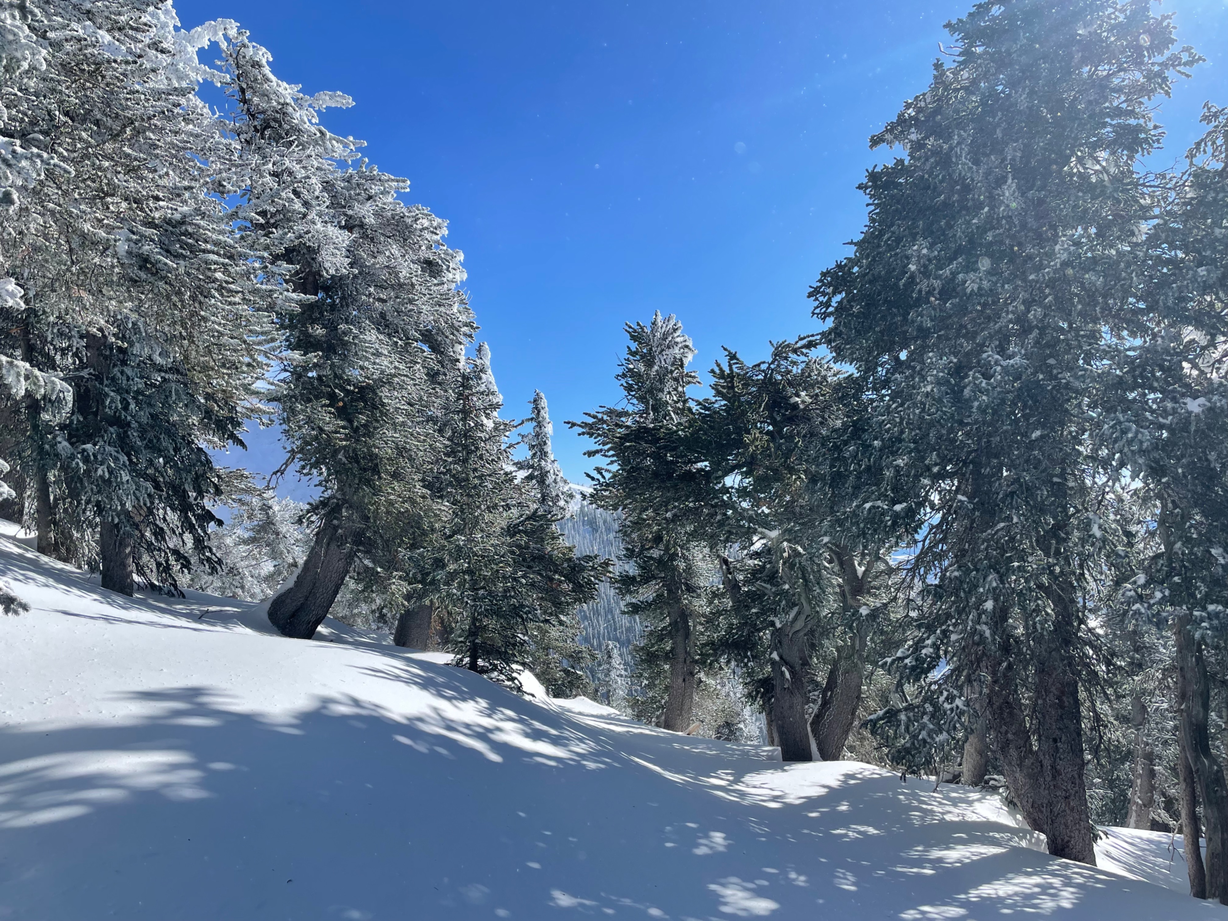
From the conditions perspective, possibly the best current skiing and riding is probably to be found in forested areas above 10,500 ft. where coverage is deeper, surfaces are softer, and the trees give protection from the wind. These areas are also generally lower angle, less wind loaded, and hence have less hazard than upper mountain areas might typically hold. And, of note, it is still early season conditions . . . so "best" is on a continuum of simply where it's possible to ski or ride.
Snow storm density was moderate and then lightened with decreased temperatures (<10 percent), but much of the snow on the ground has been changed some by wind and single digit temperature. Instead of blower powder we found a rime-like (wind compacted) snow that skied slow, was almost styrofomie but not overly heavy (hero-snow).
The most interesting observation of the day was looking overhead, near tree line, and seeing a column of blowing snow 100 ft. up that transitioned from a funnel of snow to what looked like water vapor droplets, all moving through the sky at 50 mph. It was like looking at a moving milky way of evapotranspiration.
The last piece of this observation is that, on the way home, my partner pointed out the loading on the southside avalanche paths (it's good to have a buddy). These paths, such as 3rd Gully, Snake eEyes, and Monte Vista were heavily loaded. If anything were to rip big right now, these have the loaded starting zones for such an event.
Weather
- Air Temp
- 8
- Cloud Cover
- clear
- Wind Loading
- intense
- Rain Elevation
- n/a
- Recent Snowfall
- 30
- Snow Avail For Transport
- moderate amounts
Wind, wind, wind was the theme of the day. While winds stayed in the moderate category last night they ramped up by mid-morning and continued to gain intensity throughout the day, ending in ridgetop wind speeds out of the NE at 50-60 mph with gusts in the low 70s. Temperatures were in the single digits and wind chill was below zero.