
Weather
- Cloud Cover
- scattered
- Wind Loading
- none
- Recent Snowfall
- 2.5
- Snow Avail For Transport
- small smounts
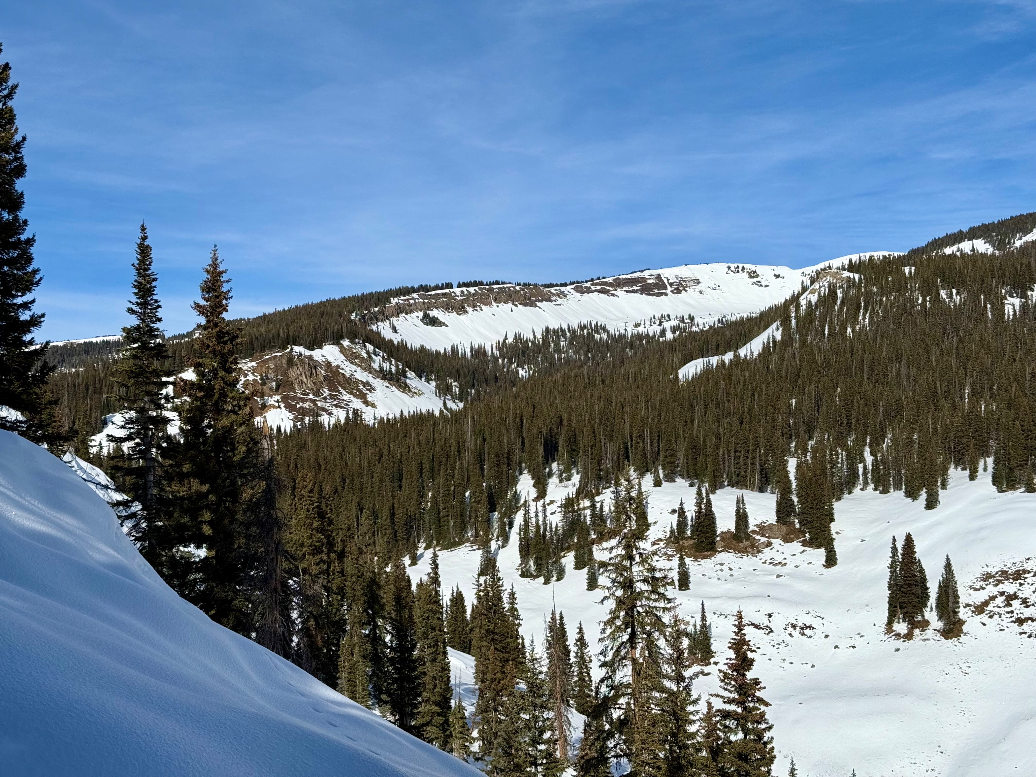
High thin clouds creating a partly cloudy sky. Occasional light winds. Mild temps.
Snowpack
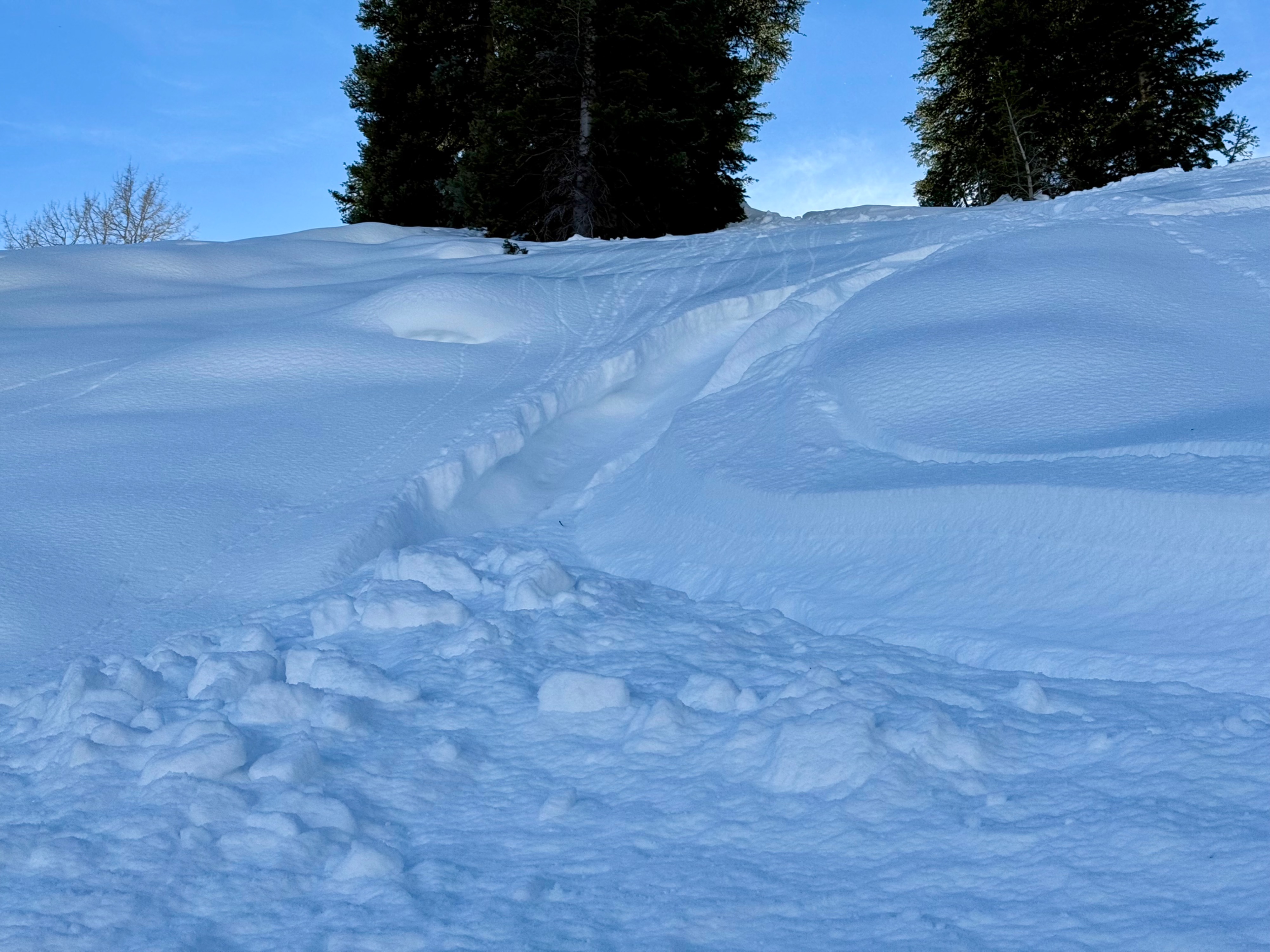
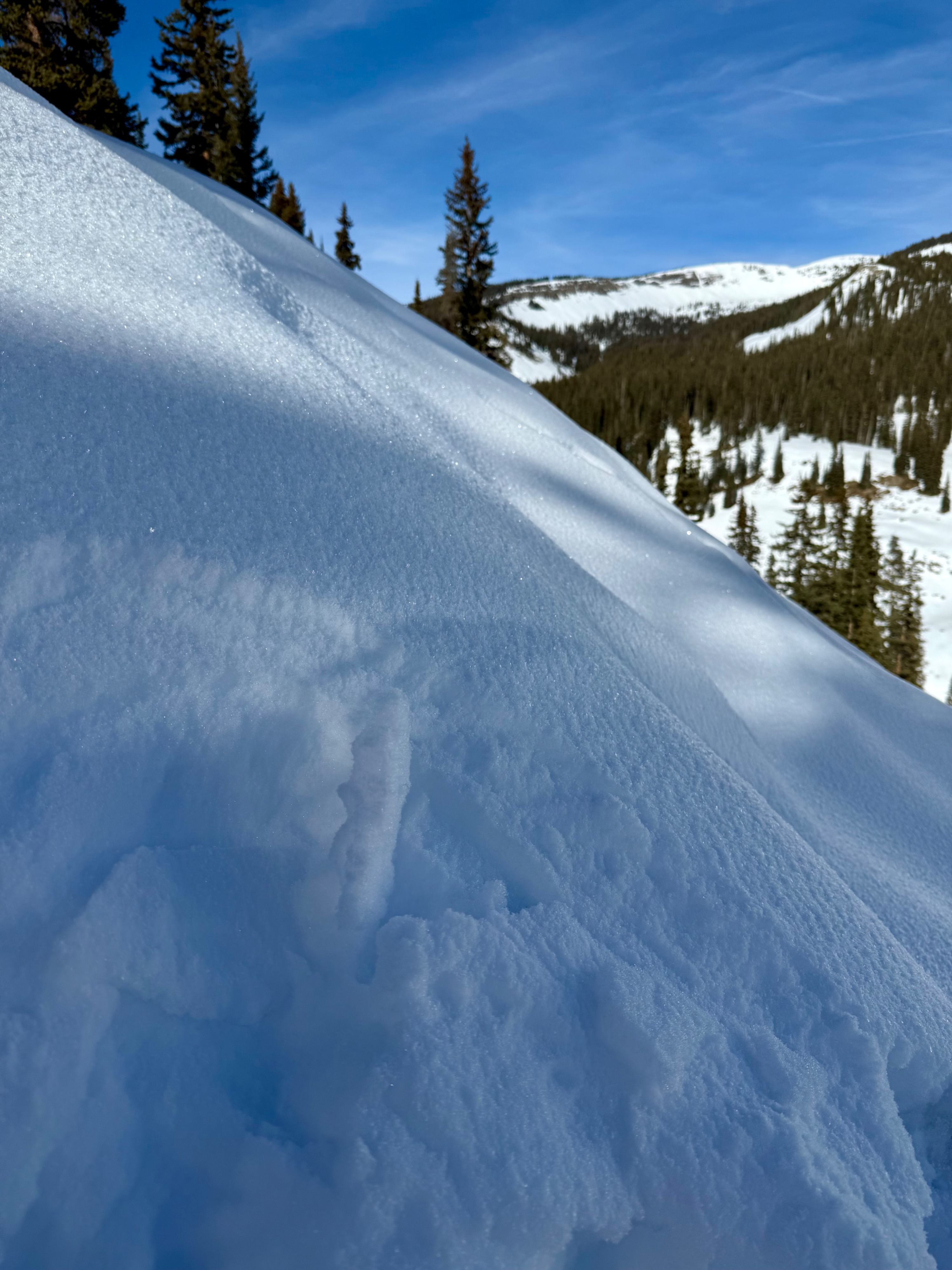
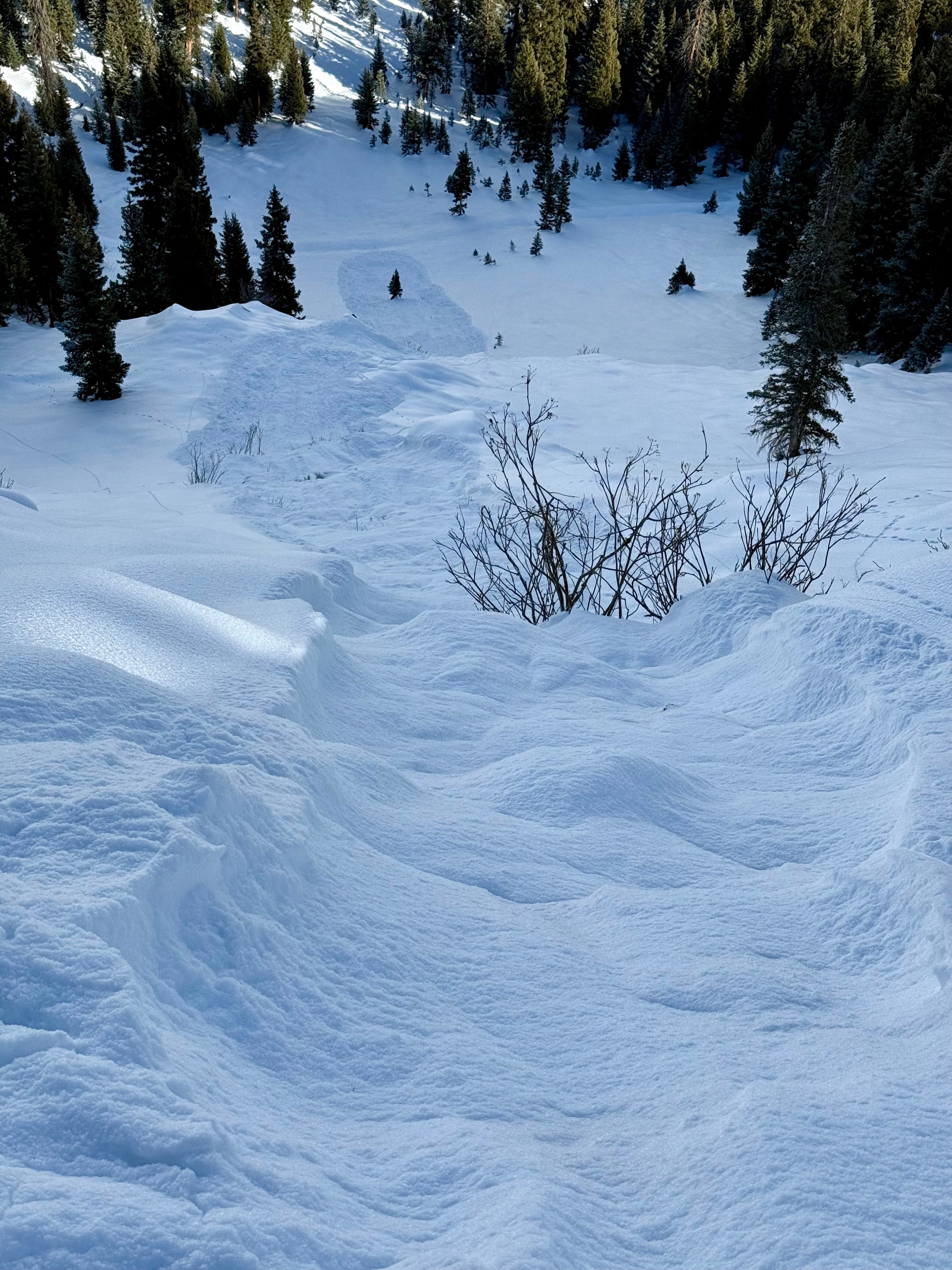
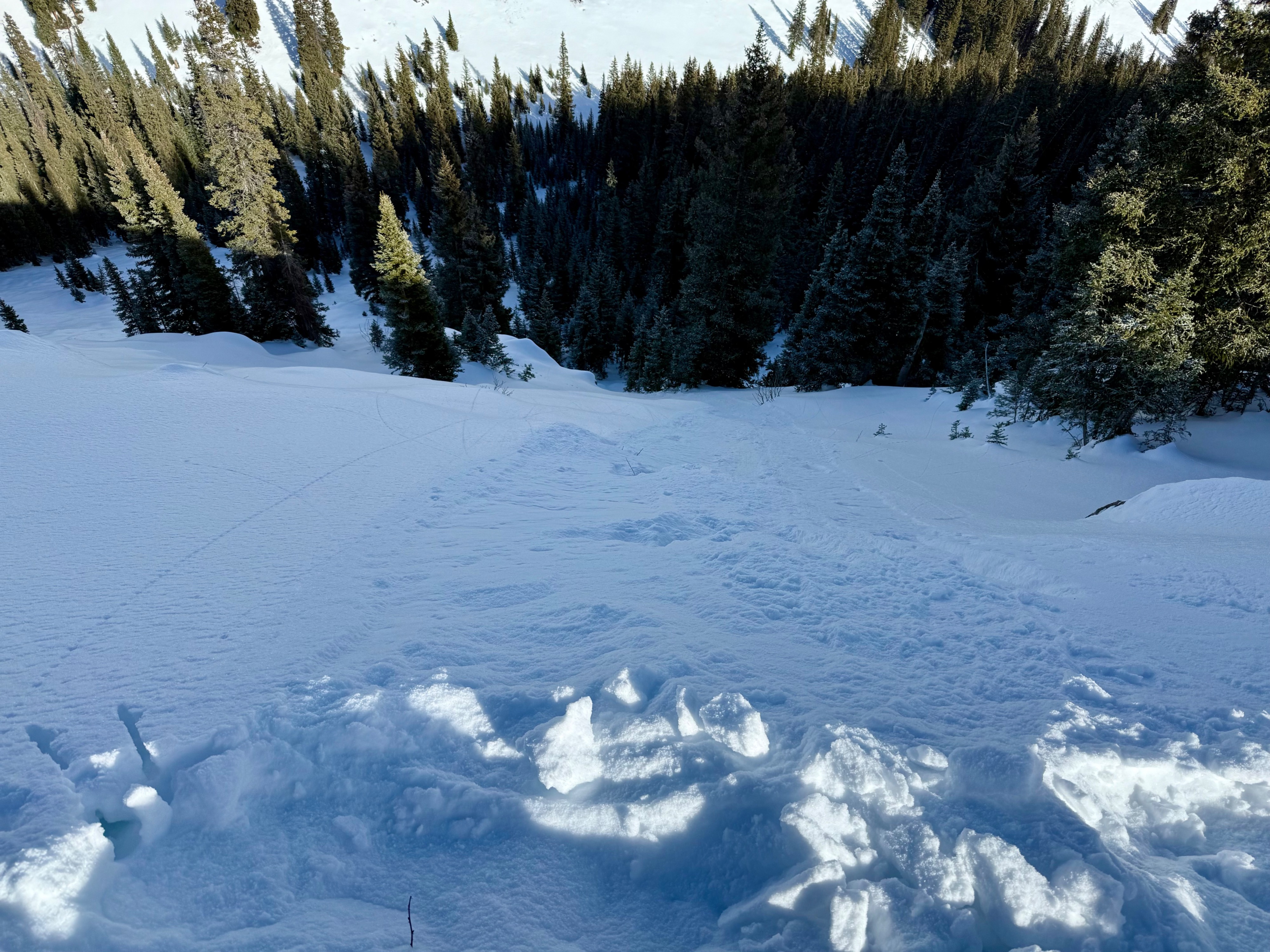
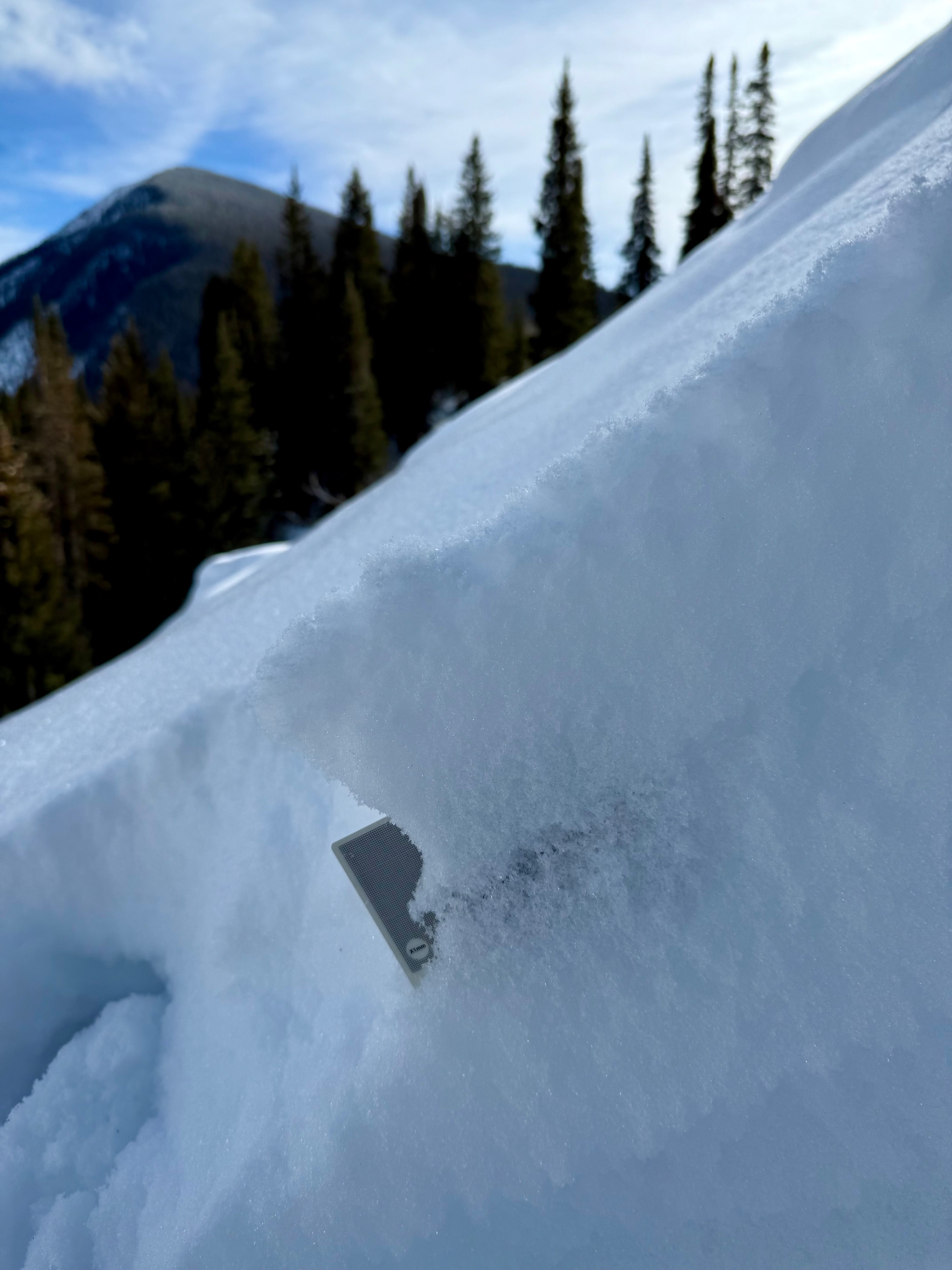
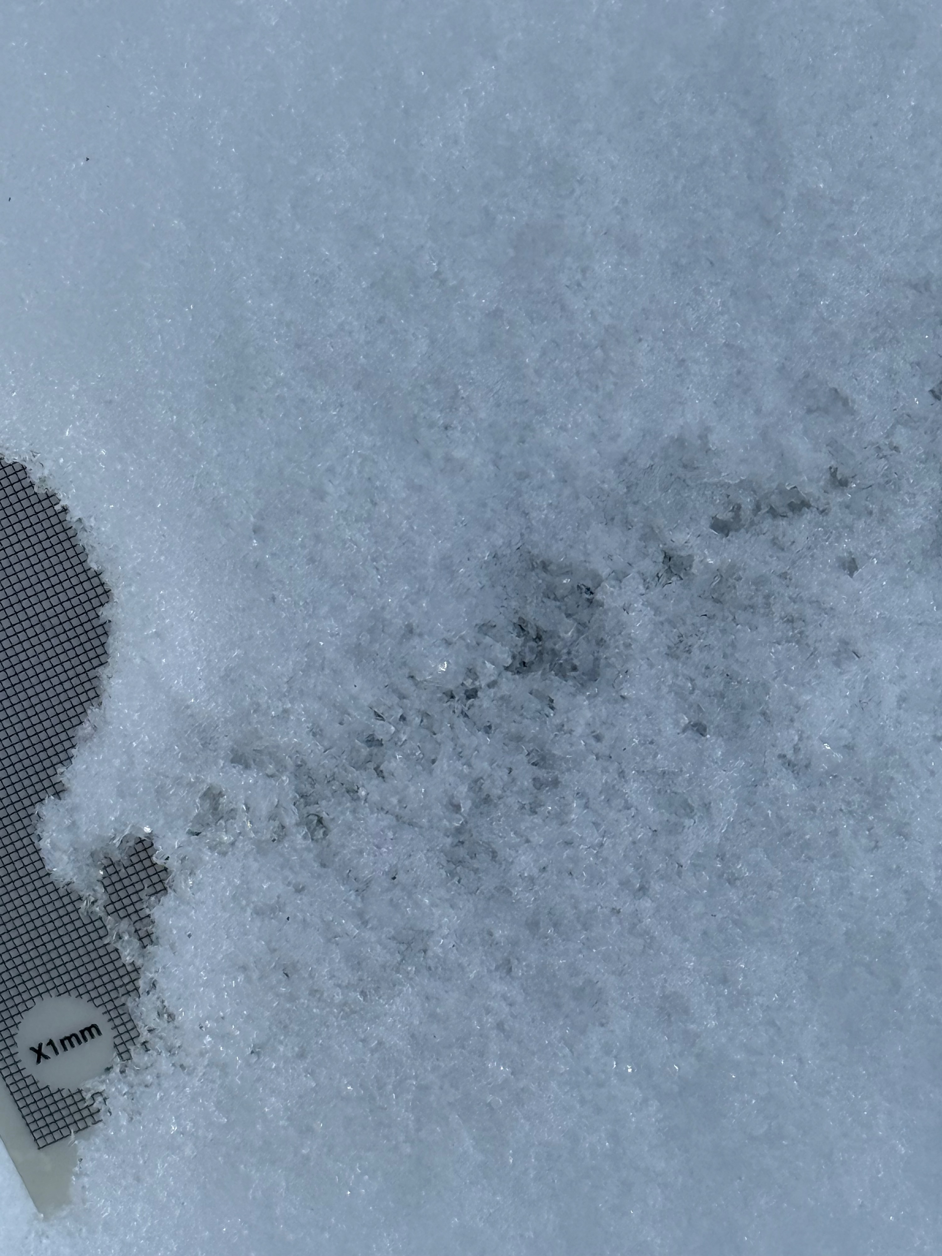
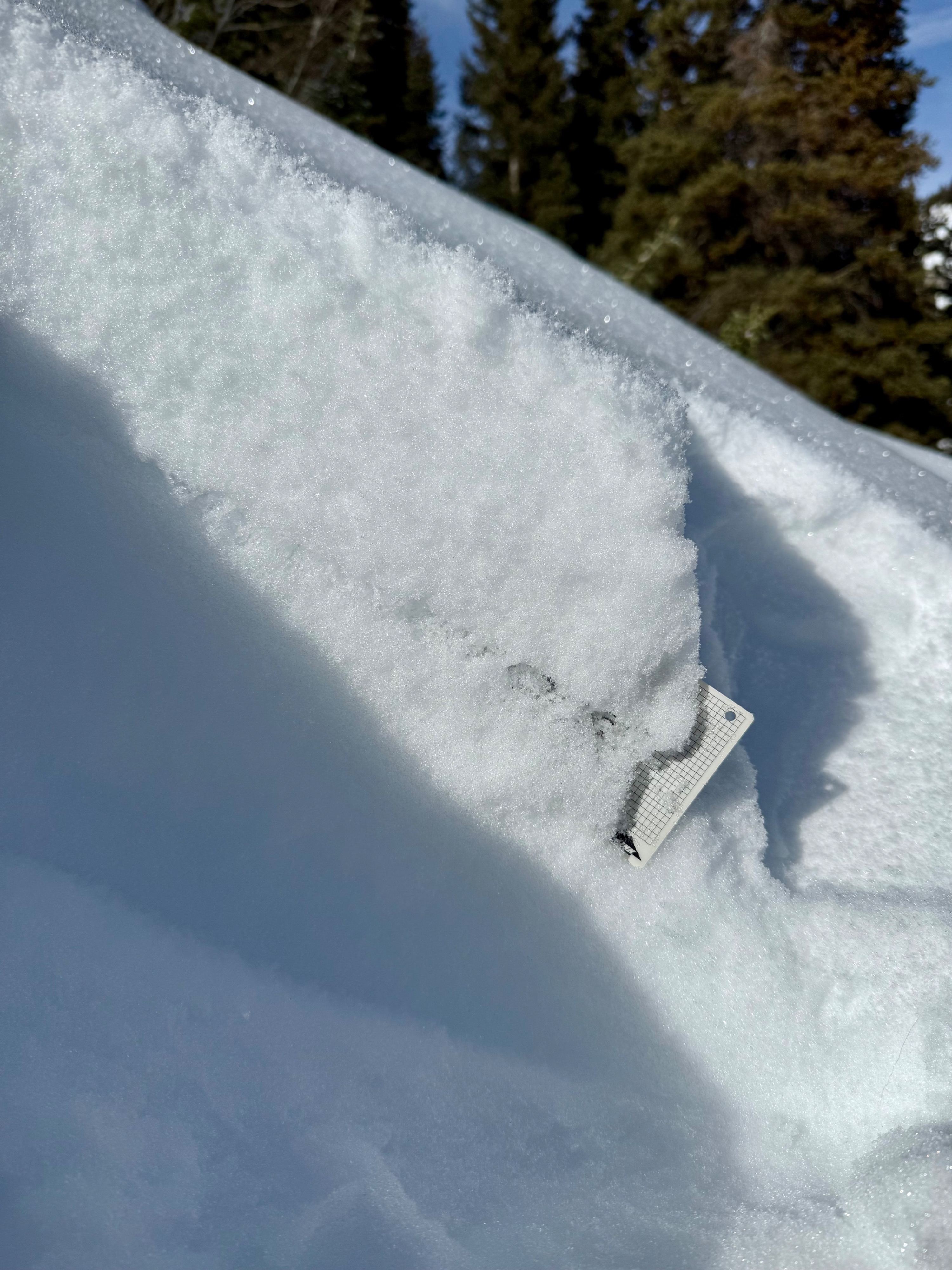
On some northeasterly slopes, the snow that accumulated around the weekend of 12/13 has capped the weaker facets below, with ~10cm of decomposing snow that still has a little cohesion. This little bit of cohesive snow was holding back the dry loose avalanche activity on some slopes. Triggering dry loose avalanches was easier on 40+ degree slopes where the total snowpack height was less than 30-40cm. The snowpack on those shallower slopes consisted of large grain facets throughout, and a triggered sluff easily accumulated mass as it ran down the slope. The weak layer of concern going into the next loading period, currently, will be the snow surface on those shallowest slopes, or about 10cm below the snow surface on the slopes that are deeper, around 55 to 70 cm. In either case, the interface will be 1.5 to 2.5mm facets and sometimes surface hoar is mixed into those facets at the same interface.
I only traveled across one easterly facing slope at 10600ft. Here, there was a thin 1cm crust capping the facets, and I couldn't trigger a sluff on those slopes. That crust was collapsible and would aid in propagation once a slab formed above.
Avalanche
- Size
- D1
- Aspect
- NE
- Trigger
- AS
- Elevation
- 10400 ft
Pushed a couple of small dry loose avalanches or sluffs.