
Quick report
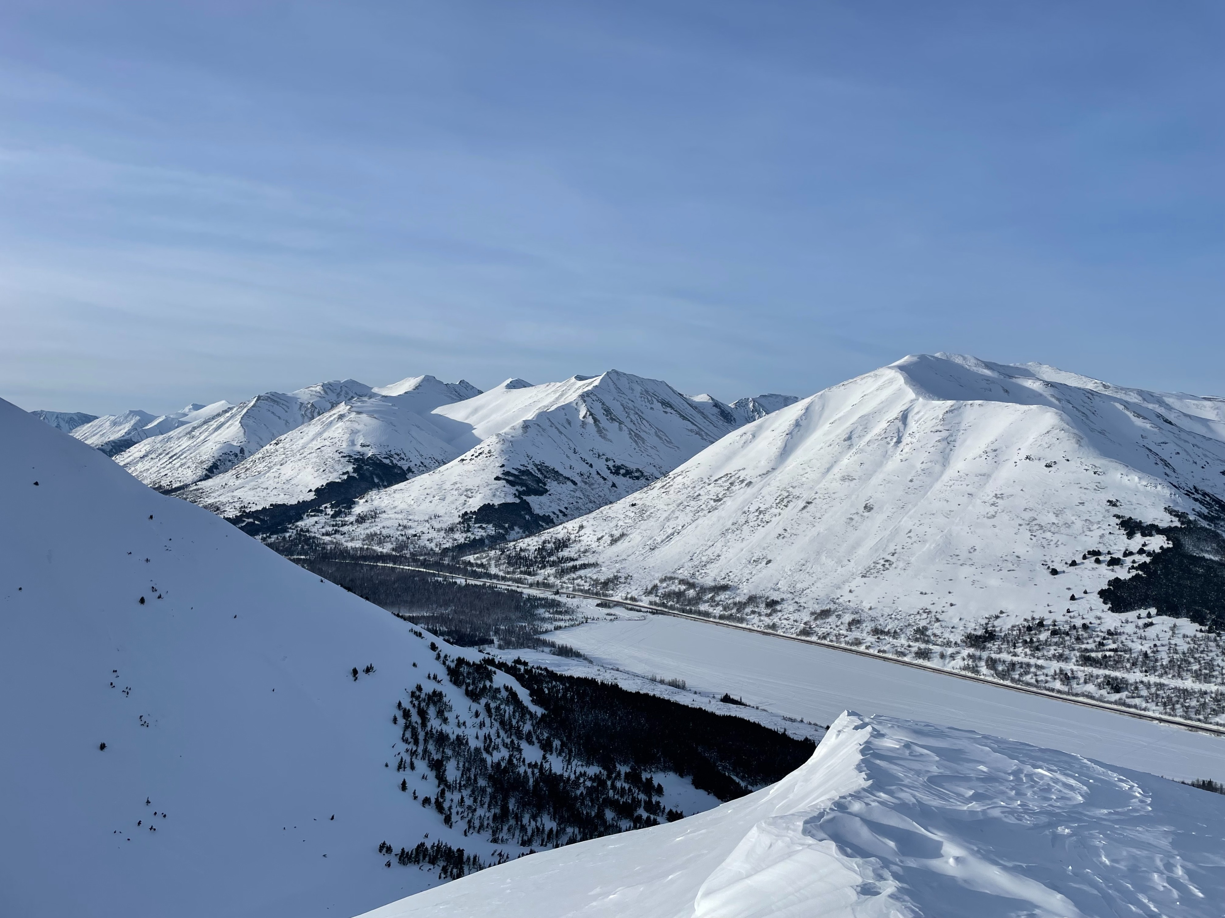
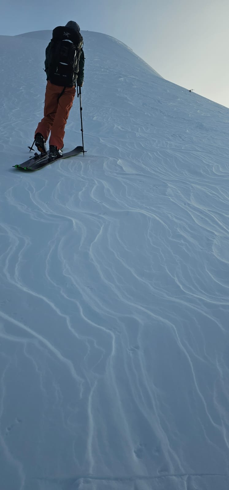
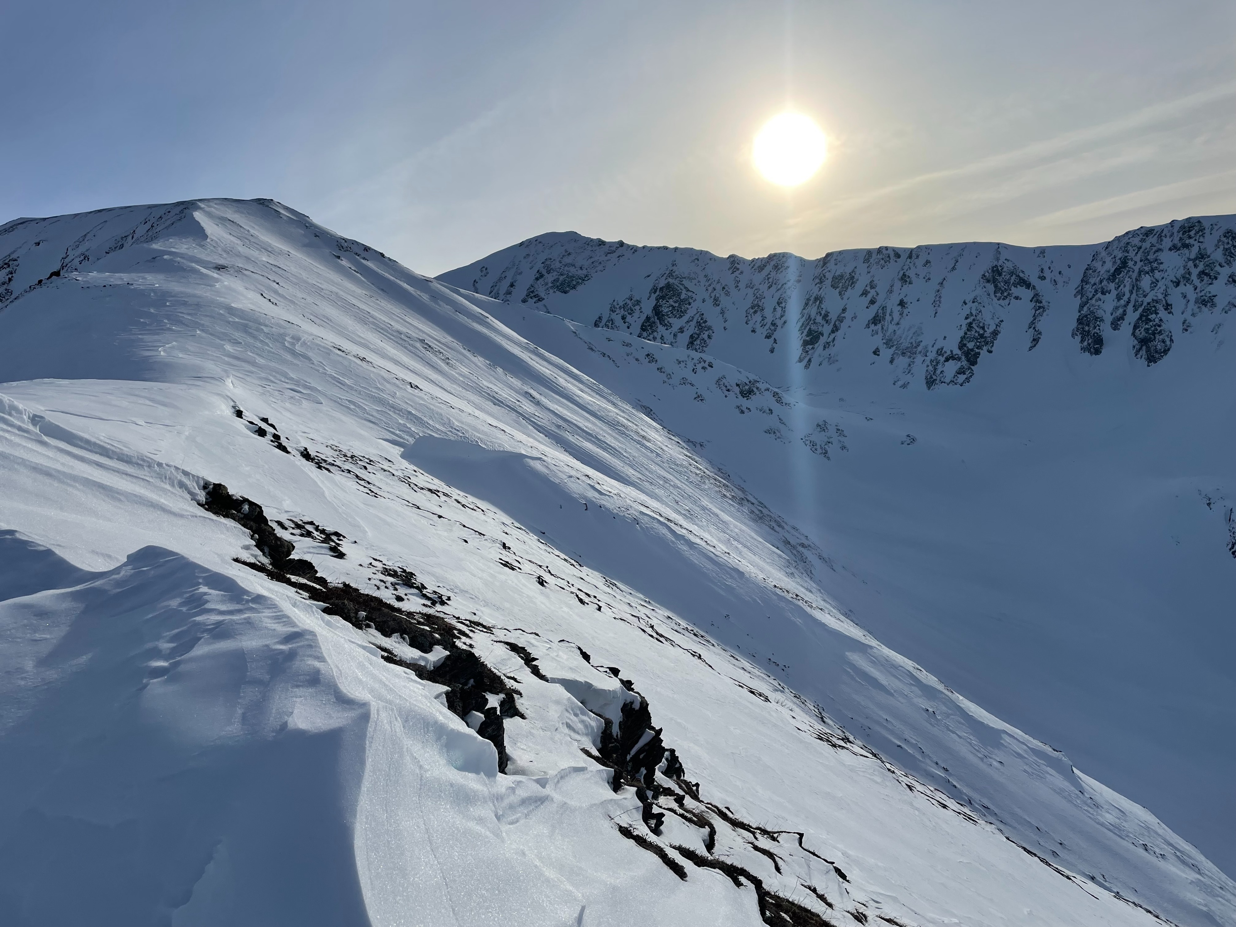
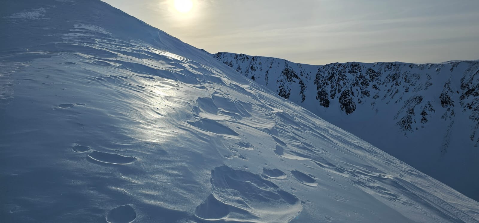
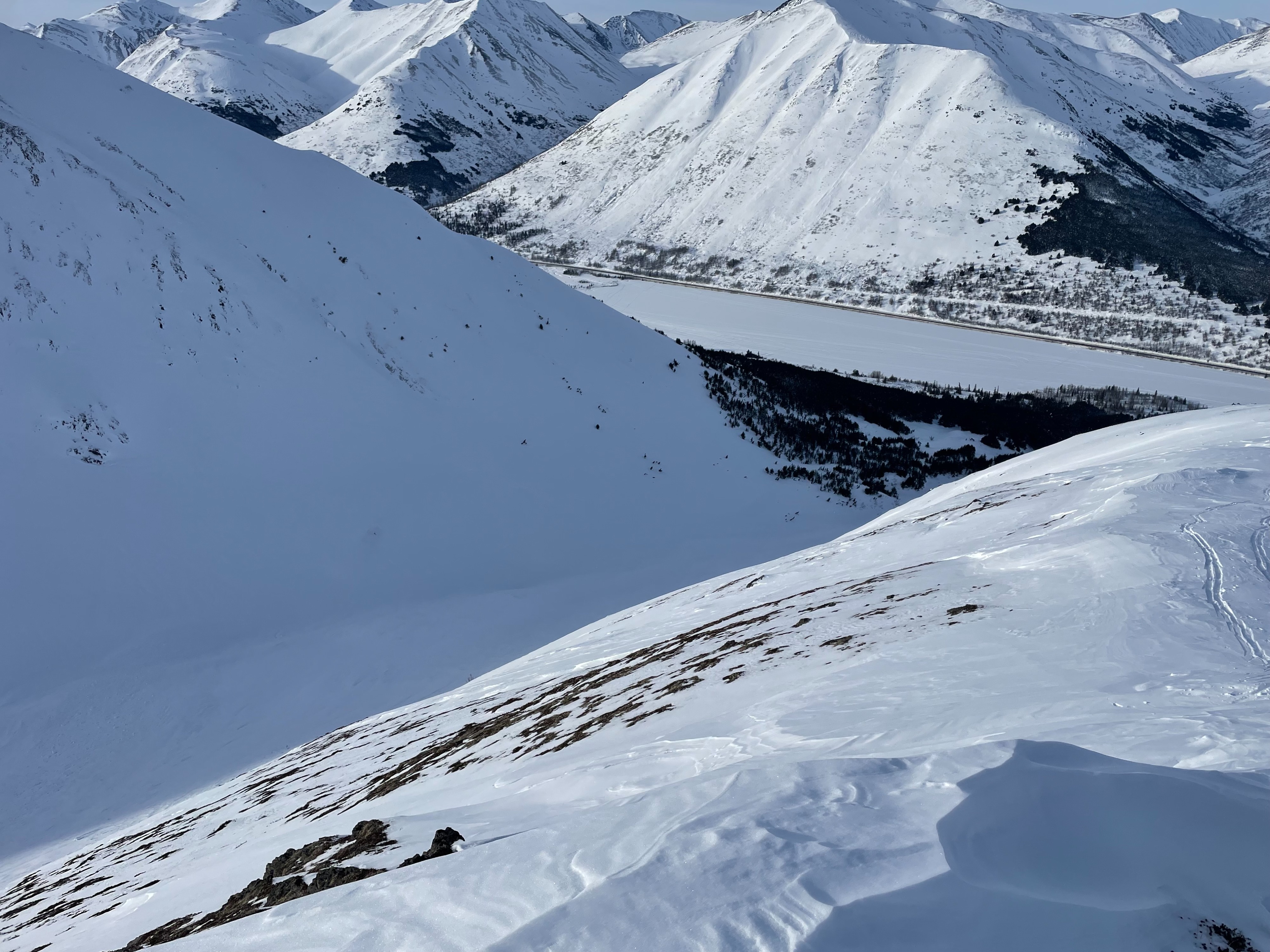
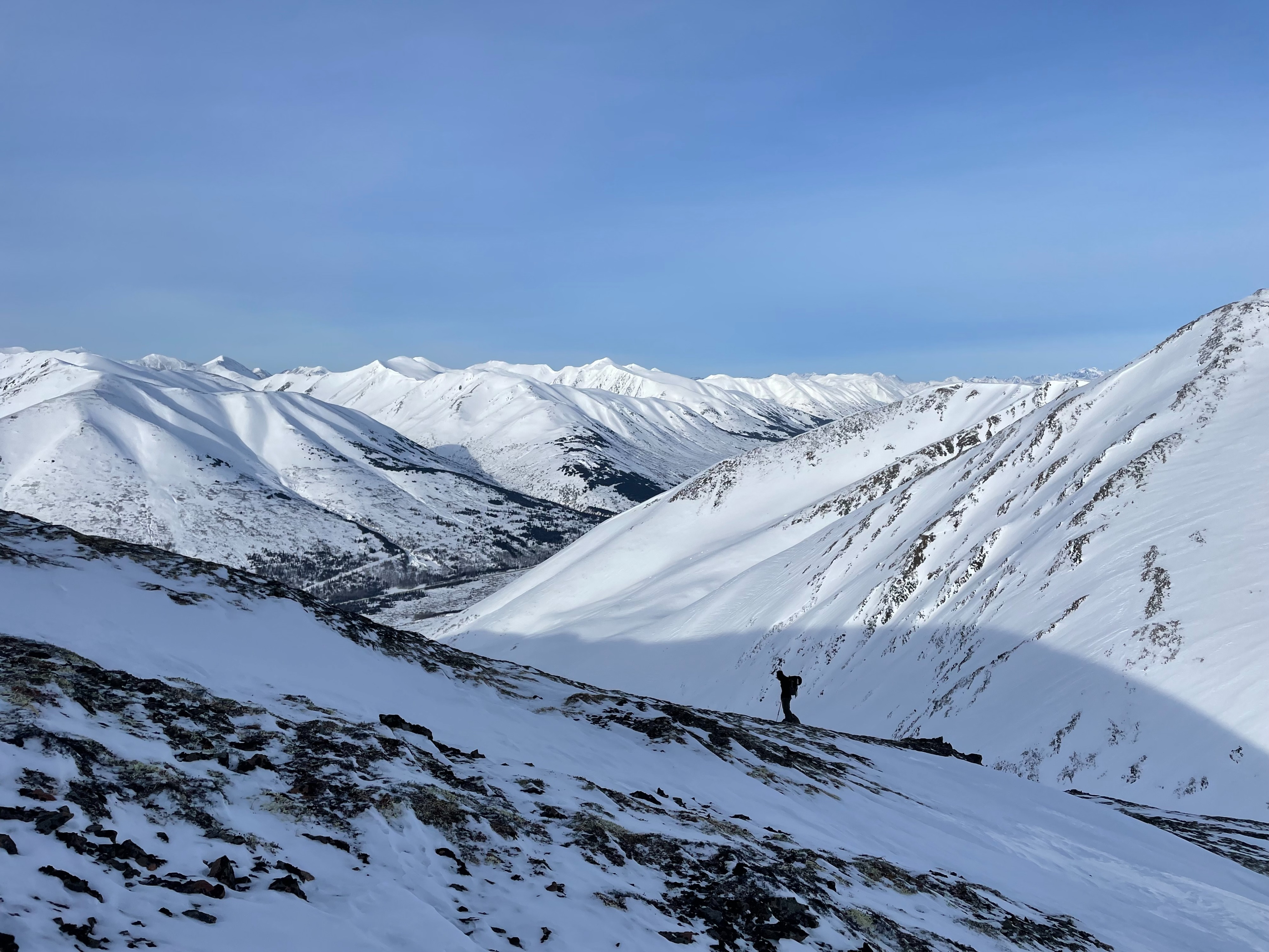
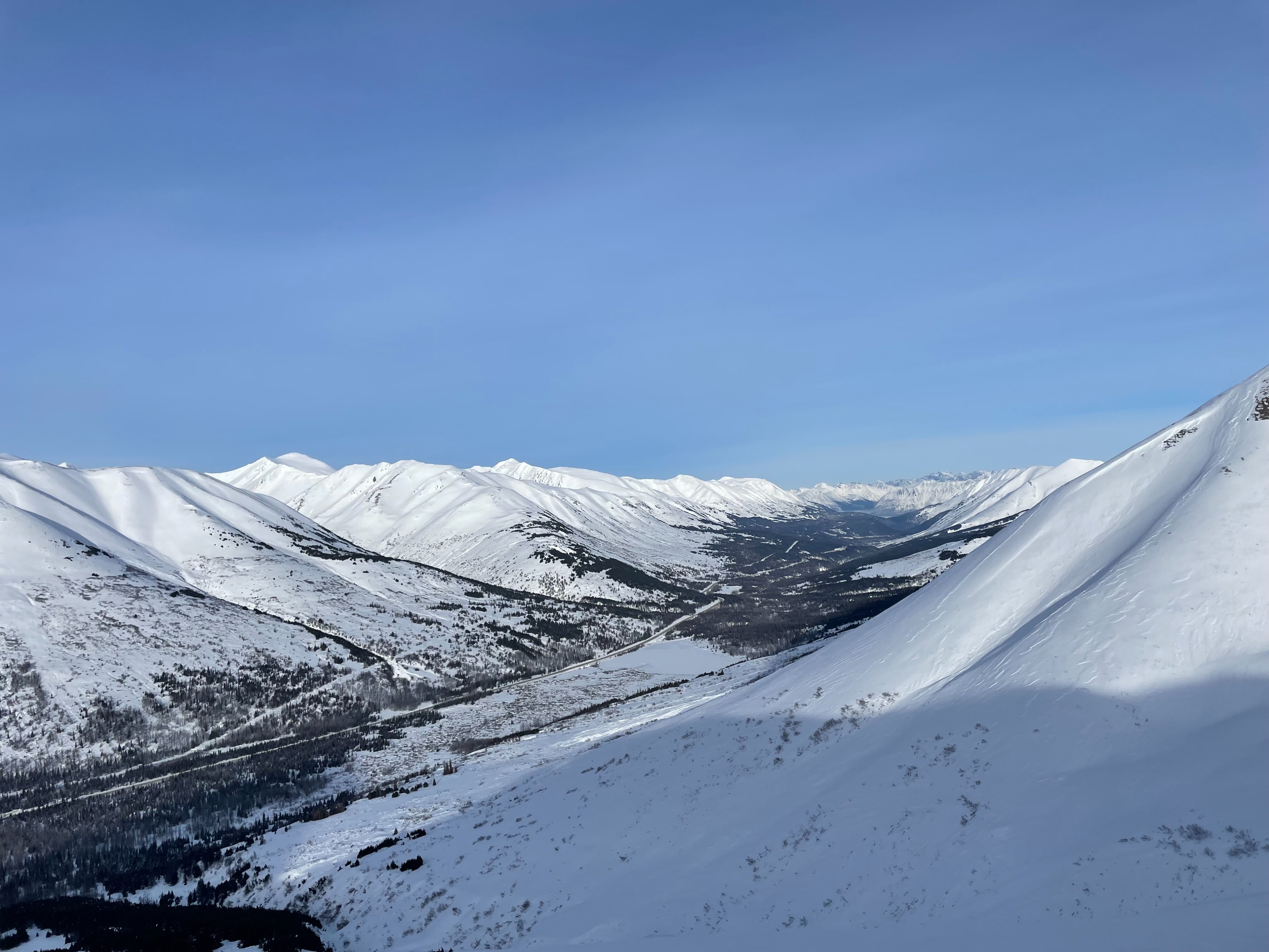
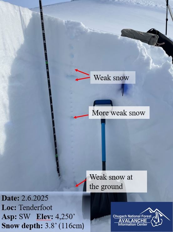
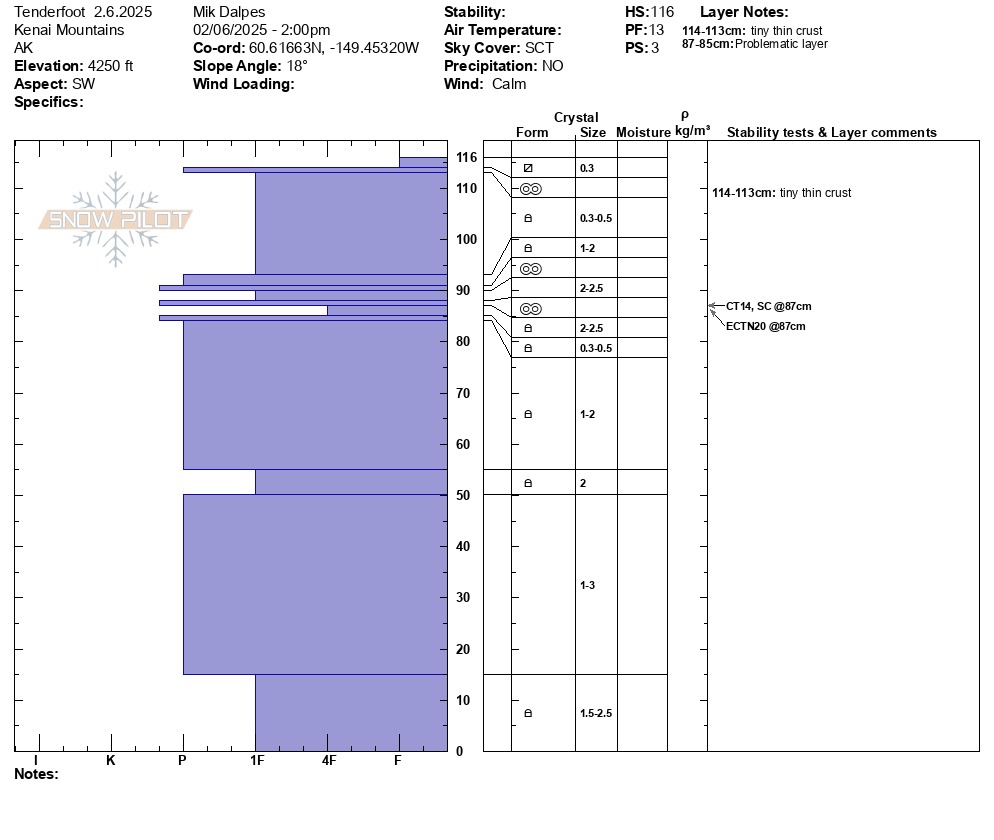
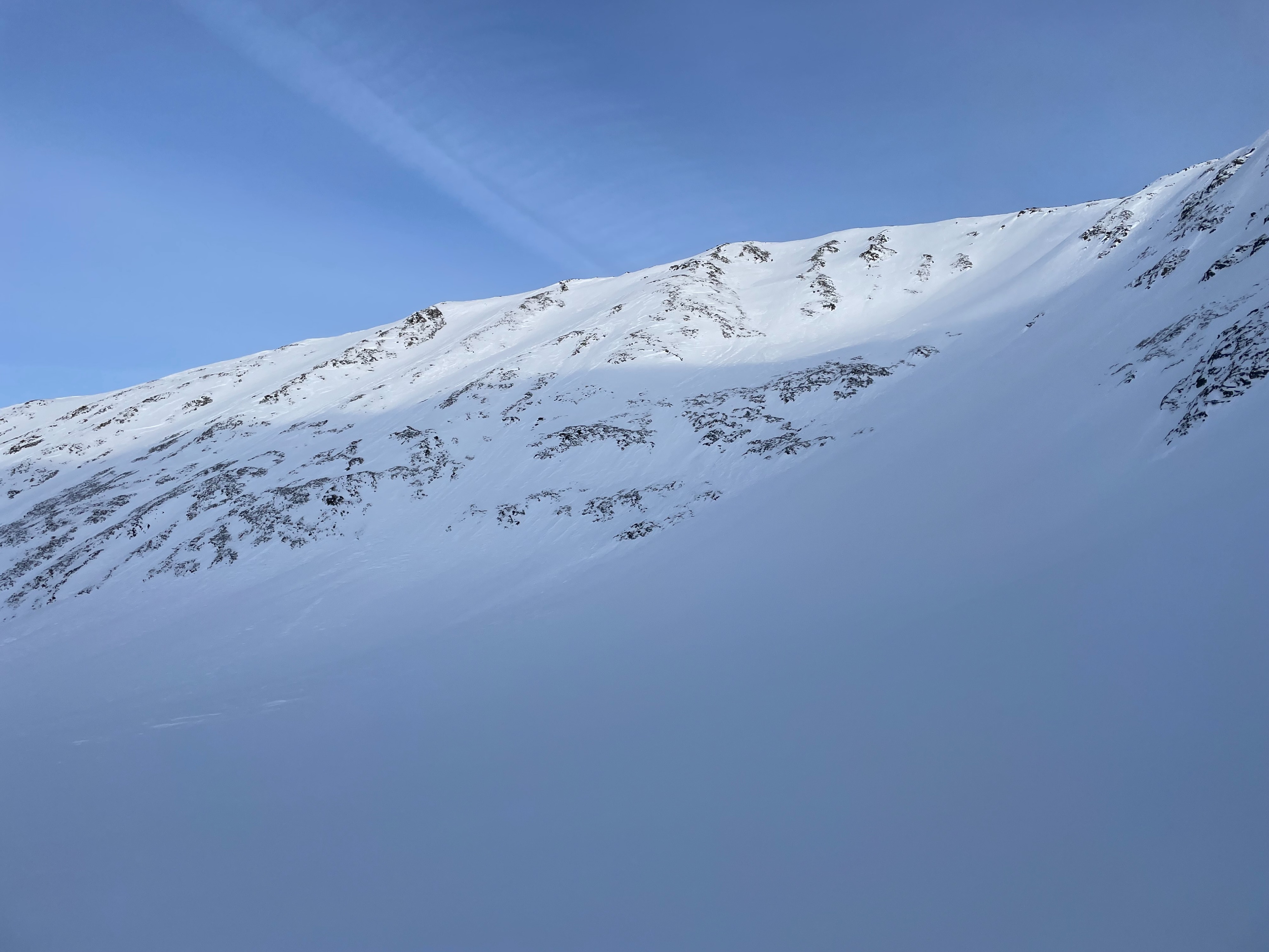
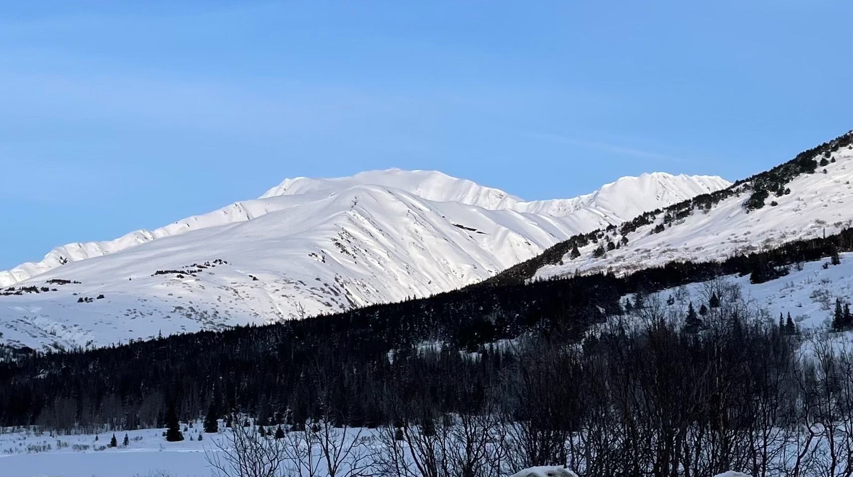
We toured up Tenderfoot to get a look at what the snowpack is like at upper elevations in Summit Lake. The entire Summit Lake region is wind affected from the strong winds last week. The mountains are covered in wind texture and sastrugi or the snow has been blown away. We dug a snowpit at 4,250' with no concerning results. With the wind effect and the weak layers gaining strength it's probably becoming unlikely a person could trigger a large avalanche on a weak layer buried near the ground. This deep slab problem is tricky and has a history of catching people off guard so there is some uncertainty, but signs are pointing towards less chances for now.
Weather
- Cloud Cover
- scattered
Really nice day out there, some high clouds made their way in through the day but temperatures were comfortable once we got above the cold sink near the road and there was almost no wind.
Snowpack
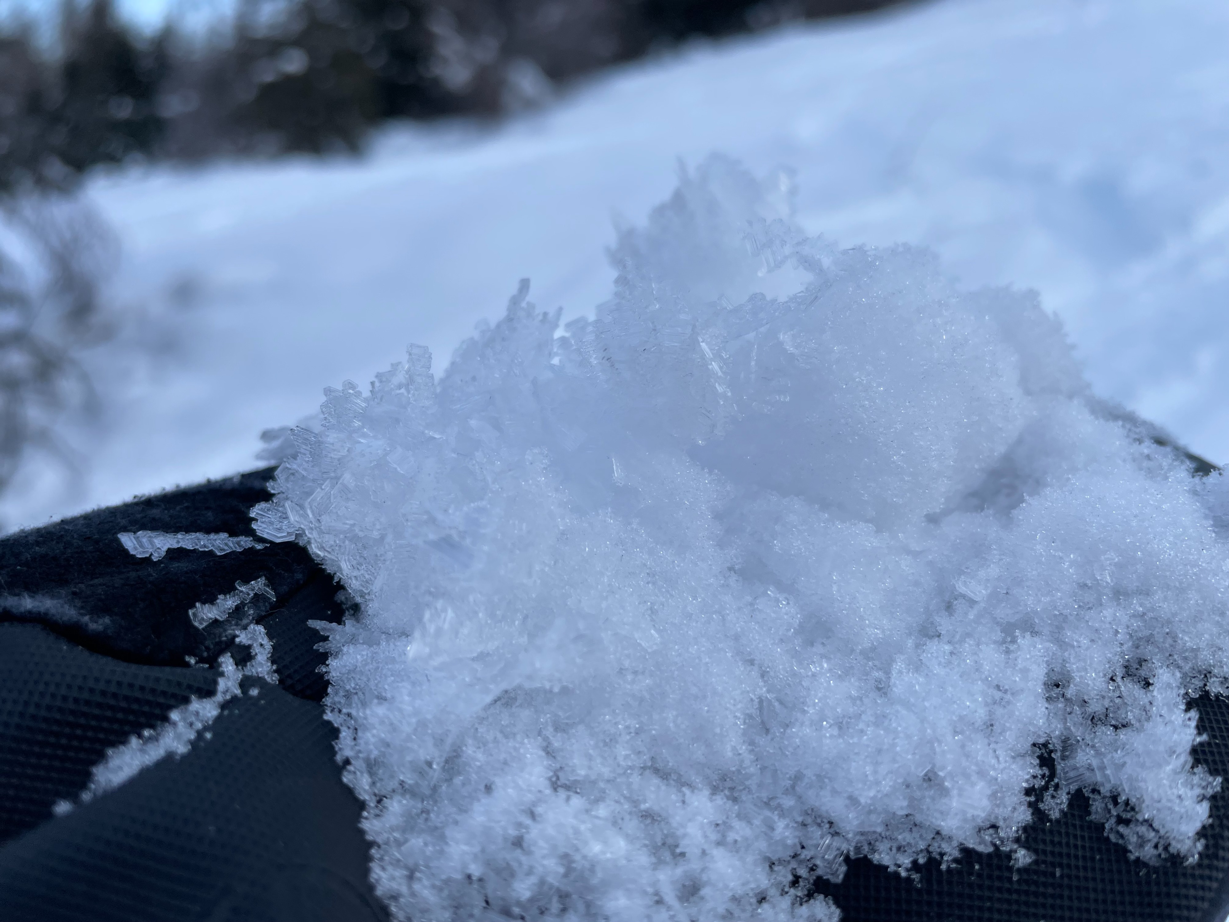
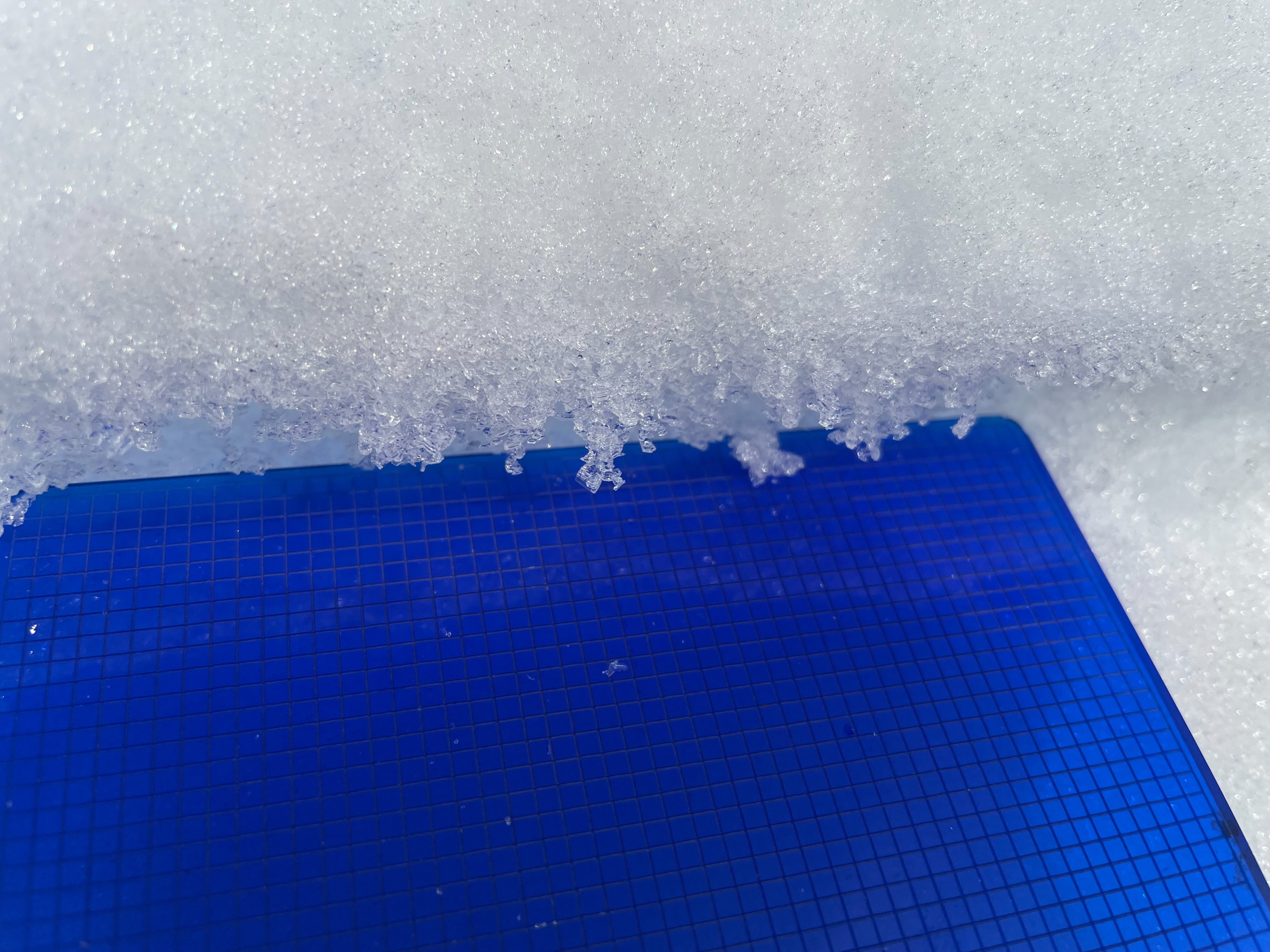
There was some large surface hoar in the lower elevations sitting on several inches of loose faceting snow. Above 2,500' the snow becomes very firm especially on the west and south side of the mountain where we were climbing. The ridge also had all sorts of surface conditions including ice, sastrugi, wind board, tundra, and rocks. The snowpit was 3.8' deep where we dug, but the snowpack varied wildly between bare ground and 9' deep within about 100'. We did not get any concerning results from the tests (CT14 SC, ECTN20 both about 1' down from the surface on a layer of facets between crusts). There were several crust layers just over 1' down from the surface, which was interesting. Otherwise the snowpack was all rounding facets of different sizes. As we made our way out through the Tenderfoot Valley we came around to the sunny west facing side and encountered a sun crust below surface hoar with facets below at about 1,800'.
Avalanche
- Size
- D2
- Aspect
- SW
- Trigger
- N
- Elevation
- 3200 ft
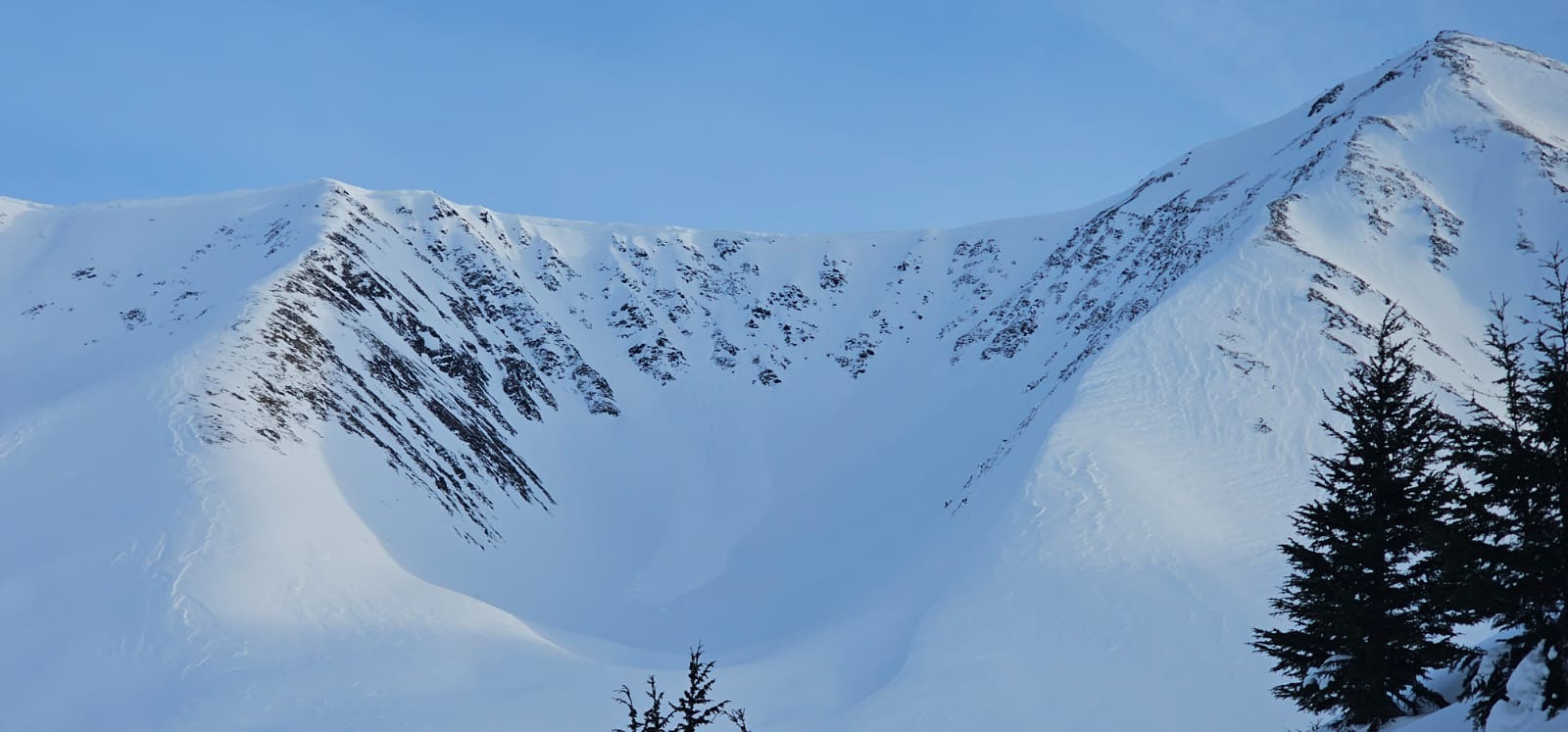
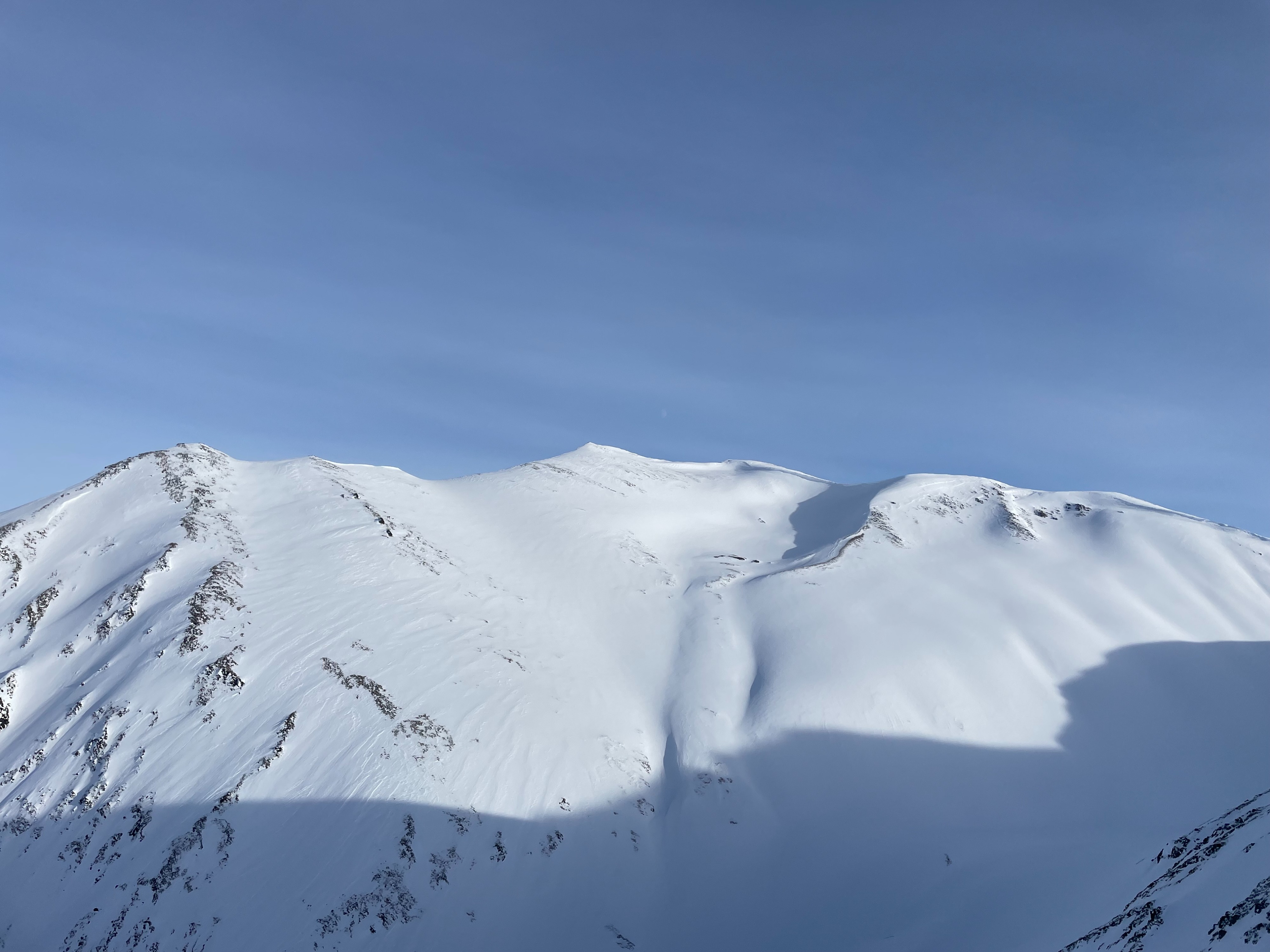
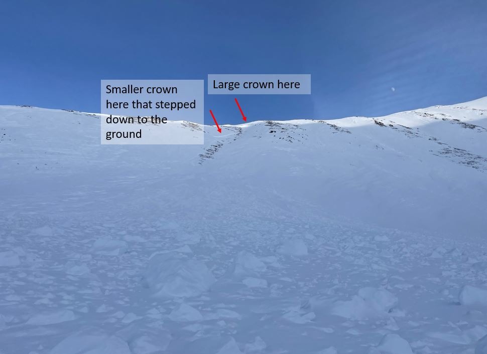
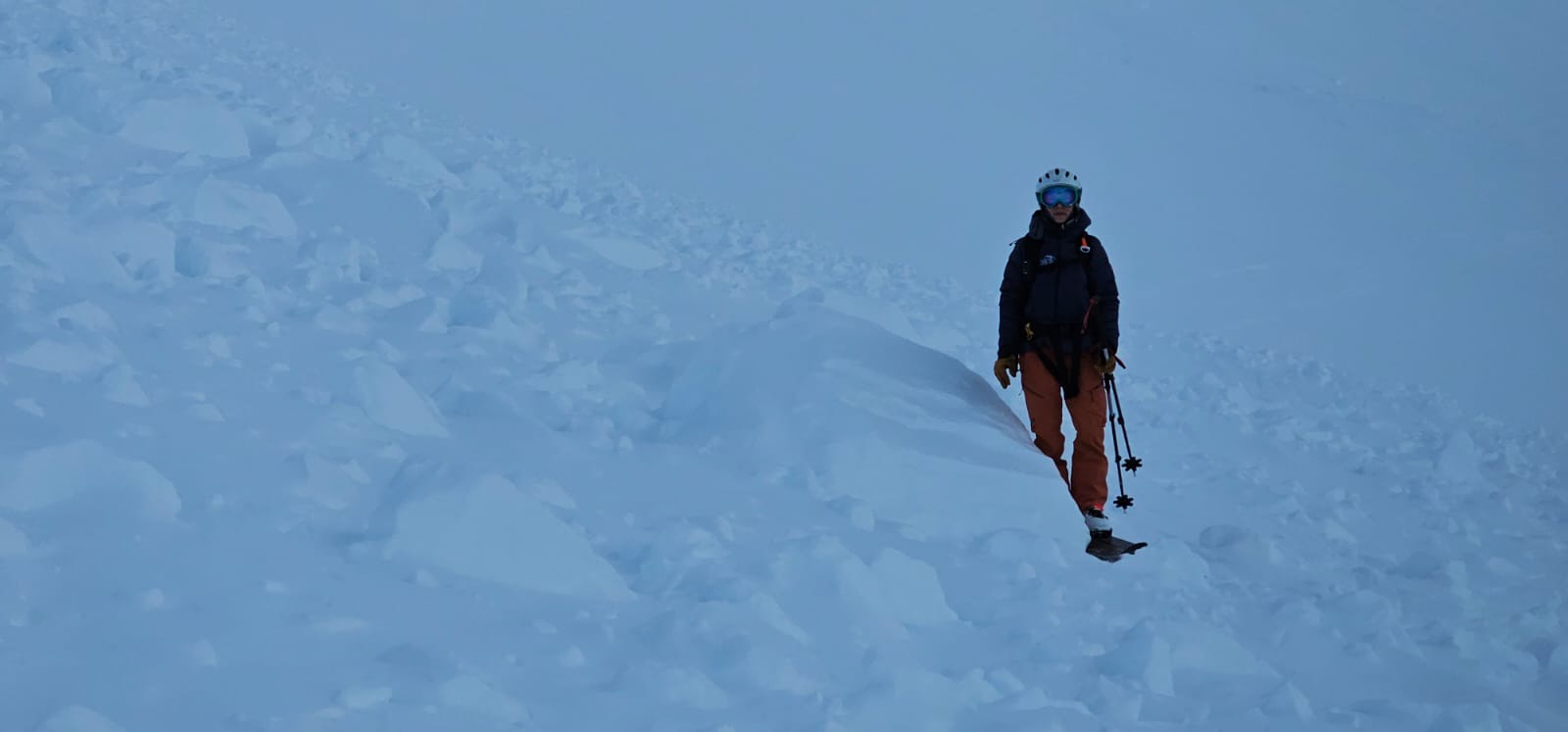
We saw a cornice fall that looked recent. We also saw a large crown and newer looking debris than the debris from the large avalanches associated with the last storm on 1.25 and 1.26. This was on the south side of Tenderfoot.