
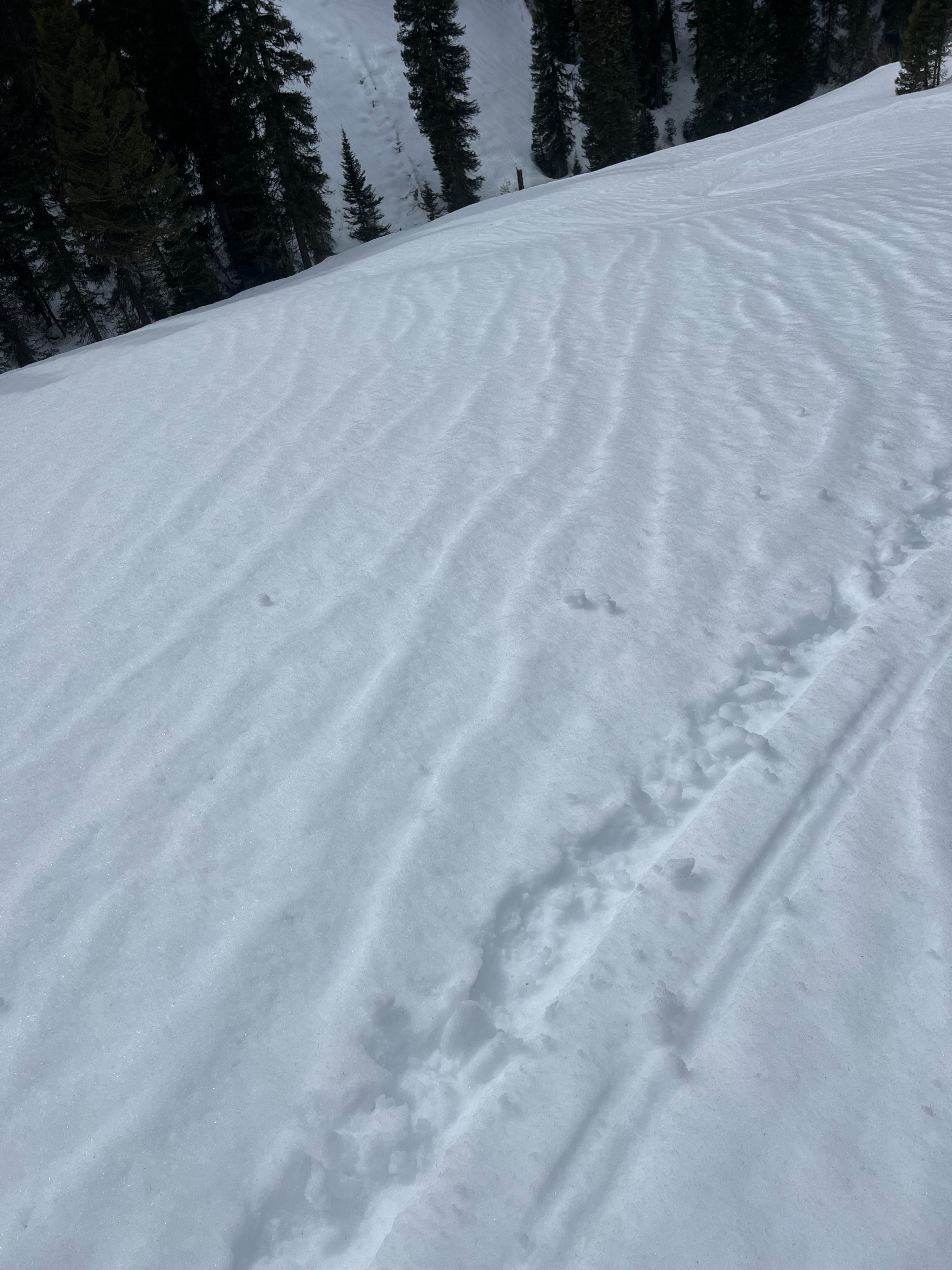
Quick report
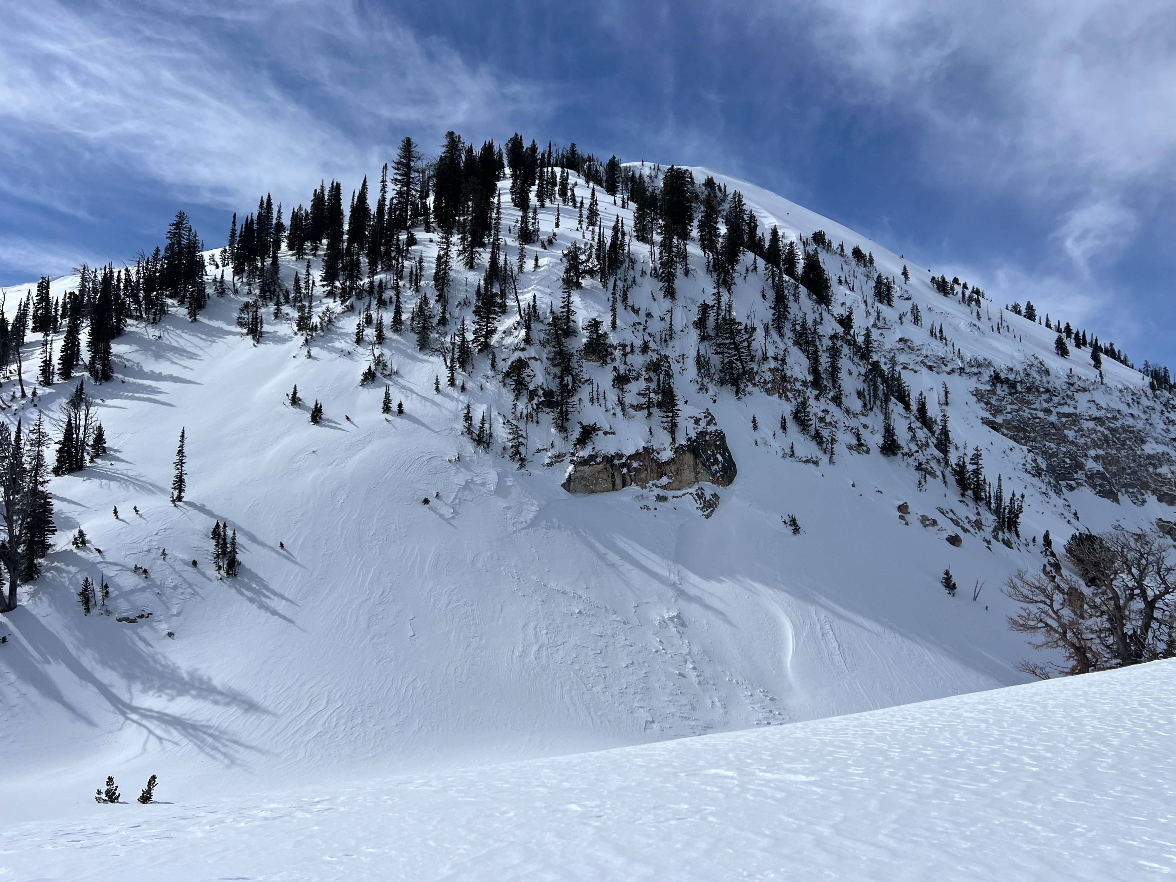
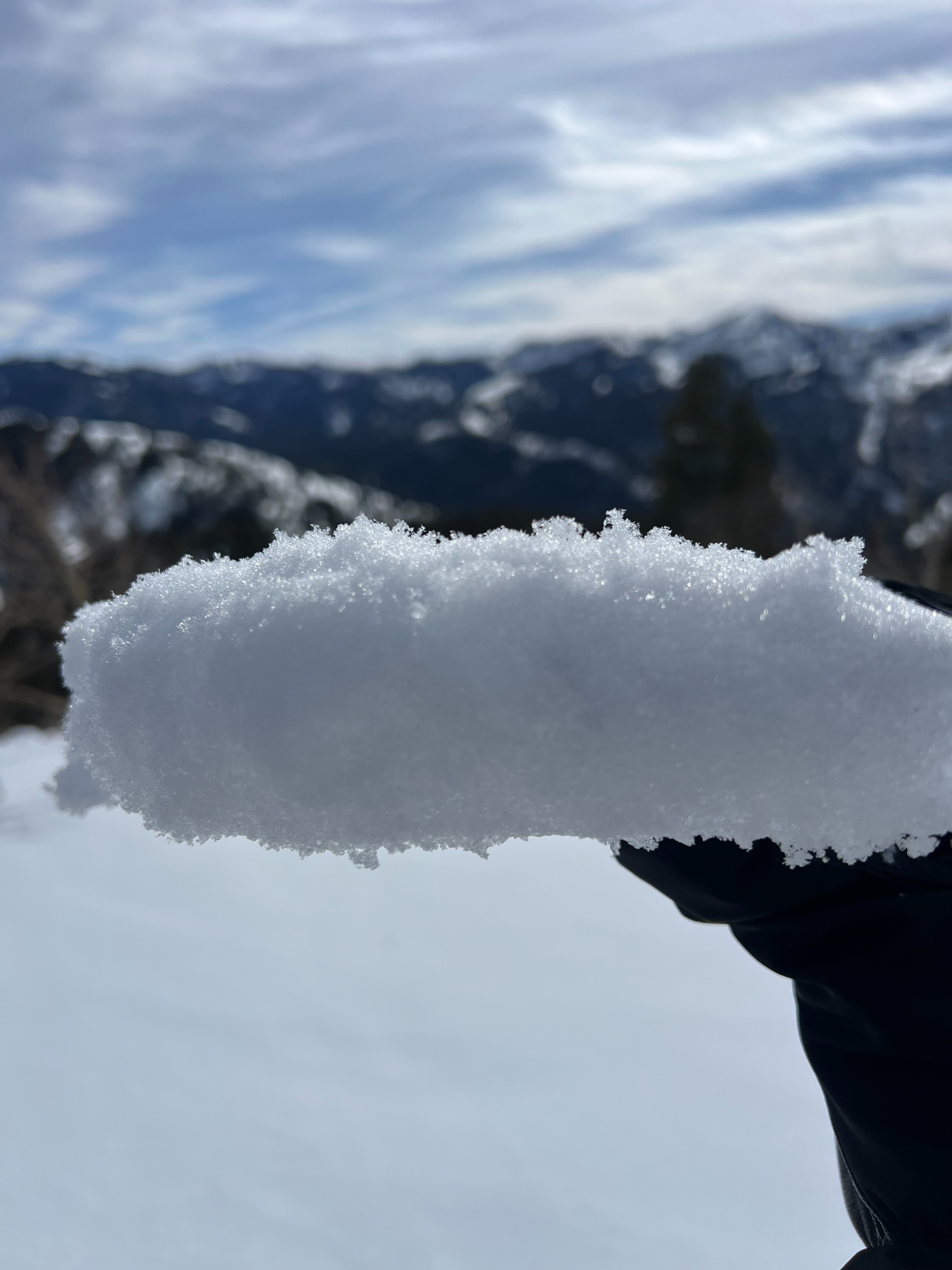
A widespread breakable crust (rain, rime, fog??) exists on the surface up to 9,000' on the periphery of the range (Fogg Hill). As you move interior the crust disappears around 7,700' (near Palisade Peak). This crust is thick and really did not help riding quality. The Feb 24-25 storm snow is very dense across all elevations. Significant wind effect above 8500' with light sastrugi and heavily scoured slopes. No recent avalanches, cracking, or collapsing.
The next snowfall will land on a variety of different surfaces due to the spotty distribution of the crust. This interface will be worth tracking depending on the weather associated with the storm tmrw. Other snow surfaces include windboard, melt freeze crusts on southerlies and dry, preserved snow on northerlies (no NSF) where the rain/rime/fog crust does not exist (no persistent grains).
Snowpack
The 2/24-25 storm slab overlying the January drought layer (JDL) is dense and varies from 20-30" thick above 7500'. Dug in two locations (one exposed to the wind and one sheltered) to compare how the JDL was influenced by wind. Interestingly, the JDL in both pits were very similiar and neither propagated or produced unstable results. The JDL is slowly gaining strength. Due to the spotty character of the JDL (surface hoar), the chance of triggering a persistent slab is still a concern.
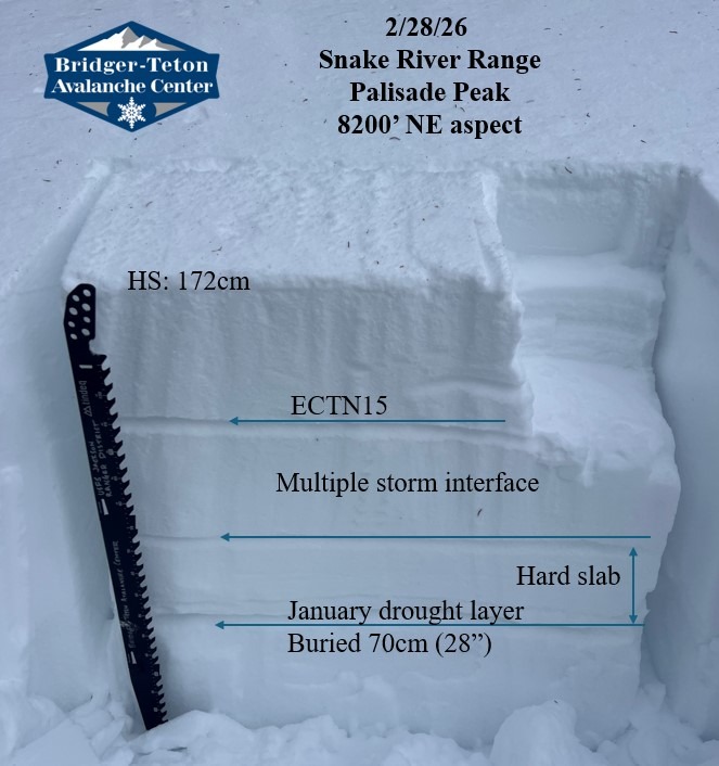
8200' NE aspect: Wind sheltered
HS: 172cm ECTN15 on storm interface (density change) 30cm down. JDL buried 70cm (1-2mm mosit facets, rounding)
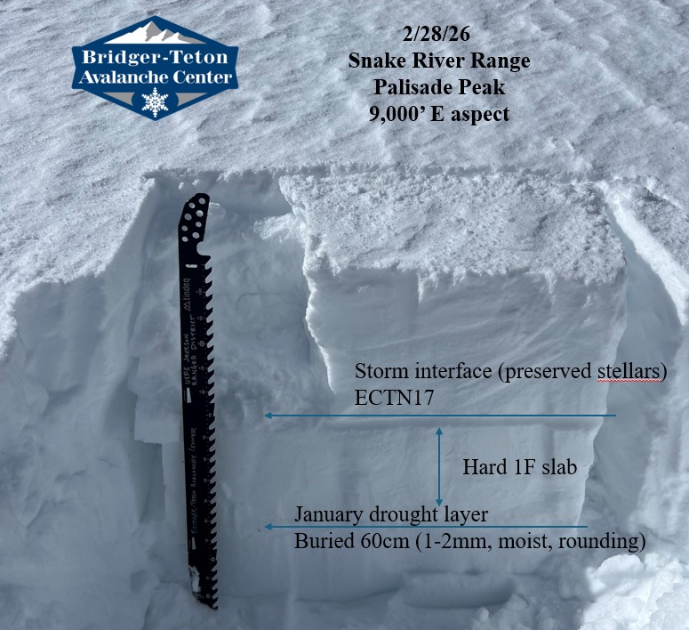
9,000' E aspect: Wind exposed
HS: 167cm ECTN17 on storm interface (density change) 30cm down. JDL buried 60cm (1-2mm moist facets, rounding)
Avalanche
Observed numerous avalanches from the storm cycle that were already reported here.