
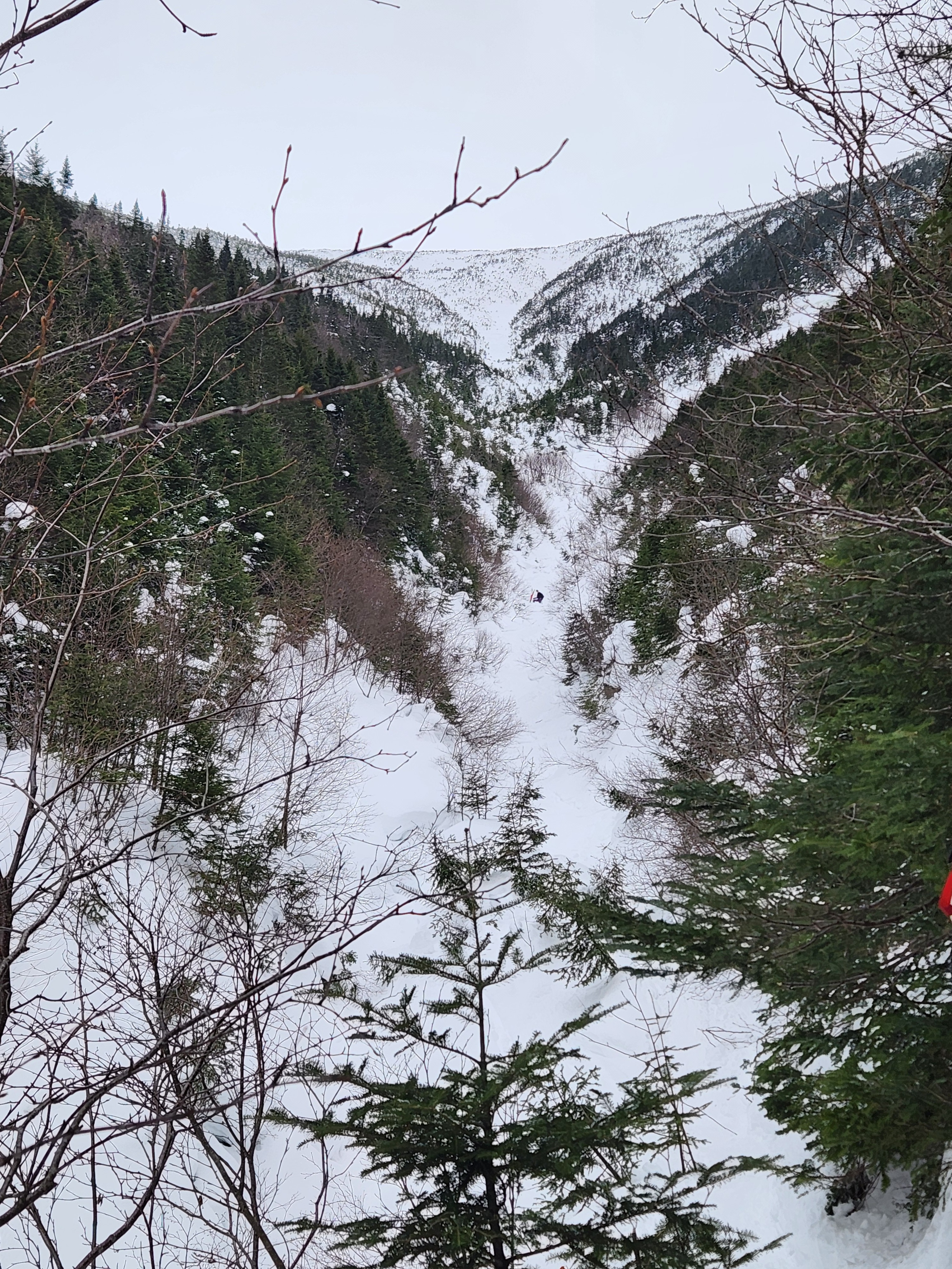
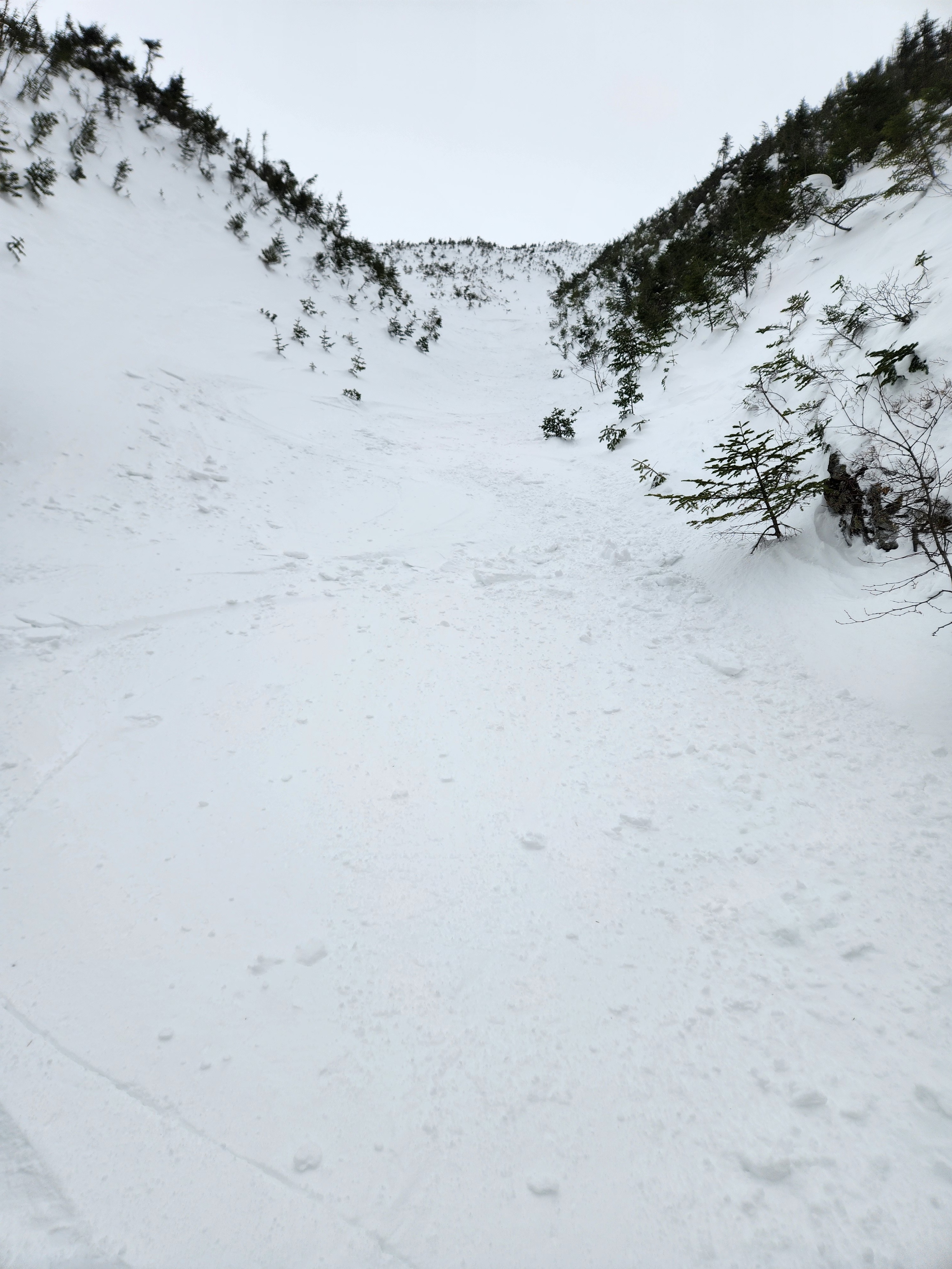
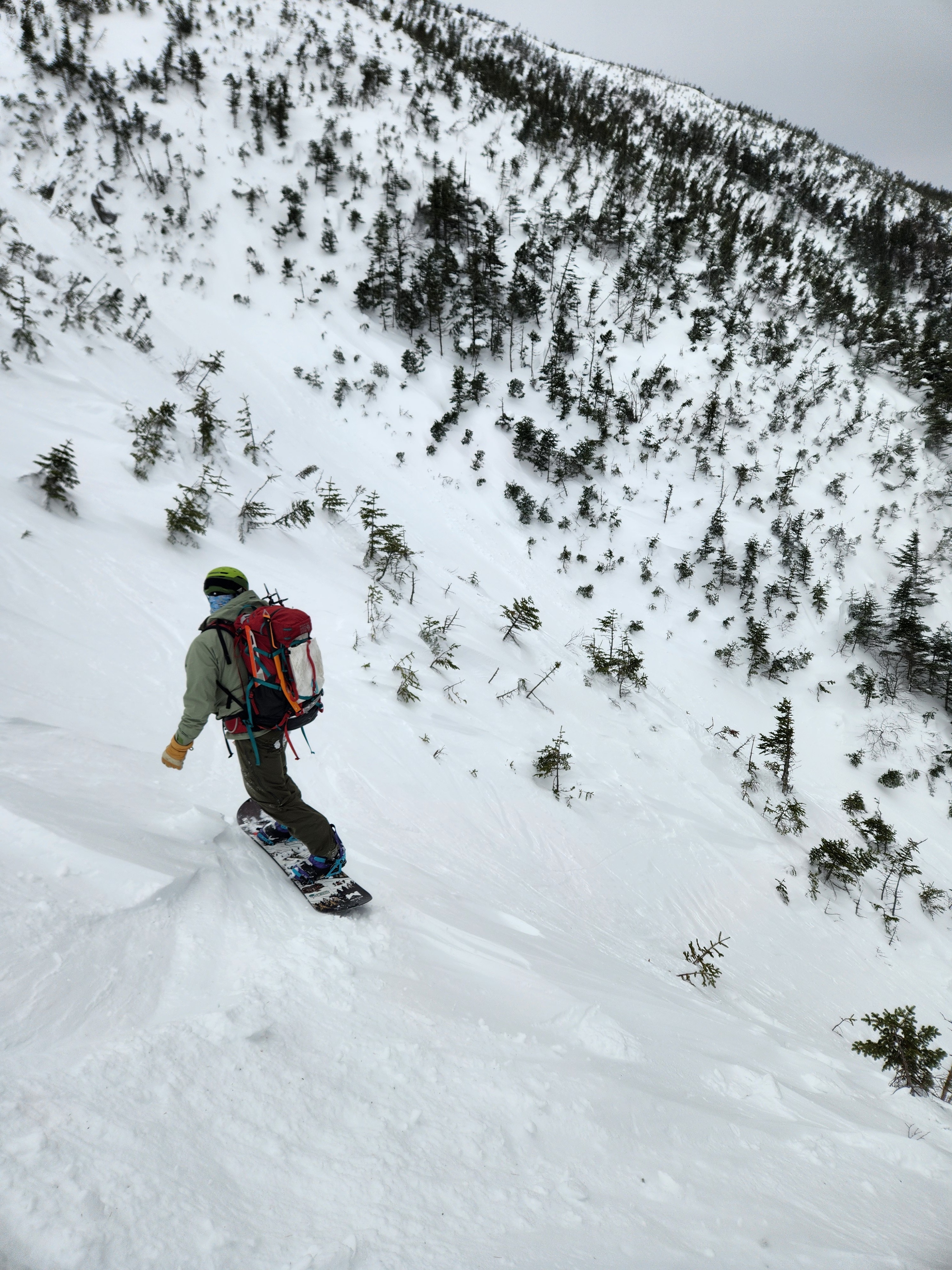
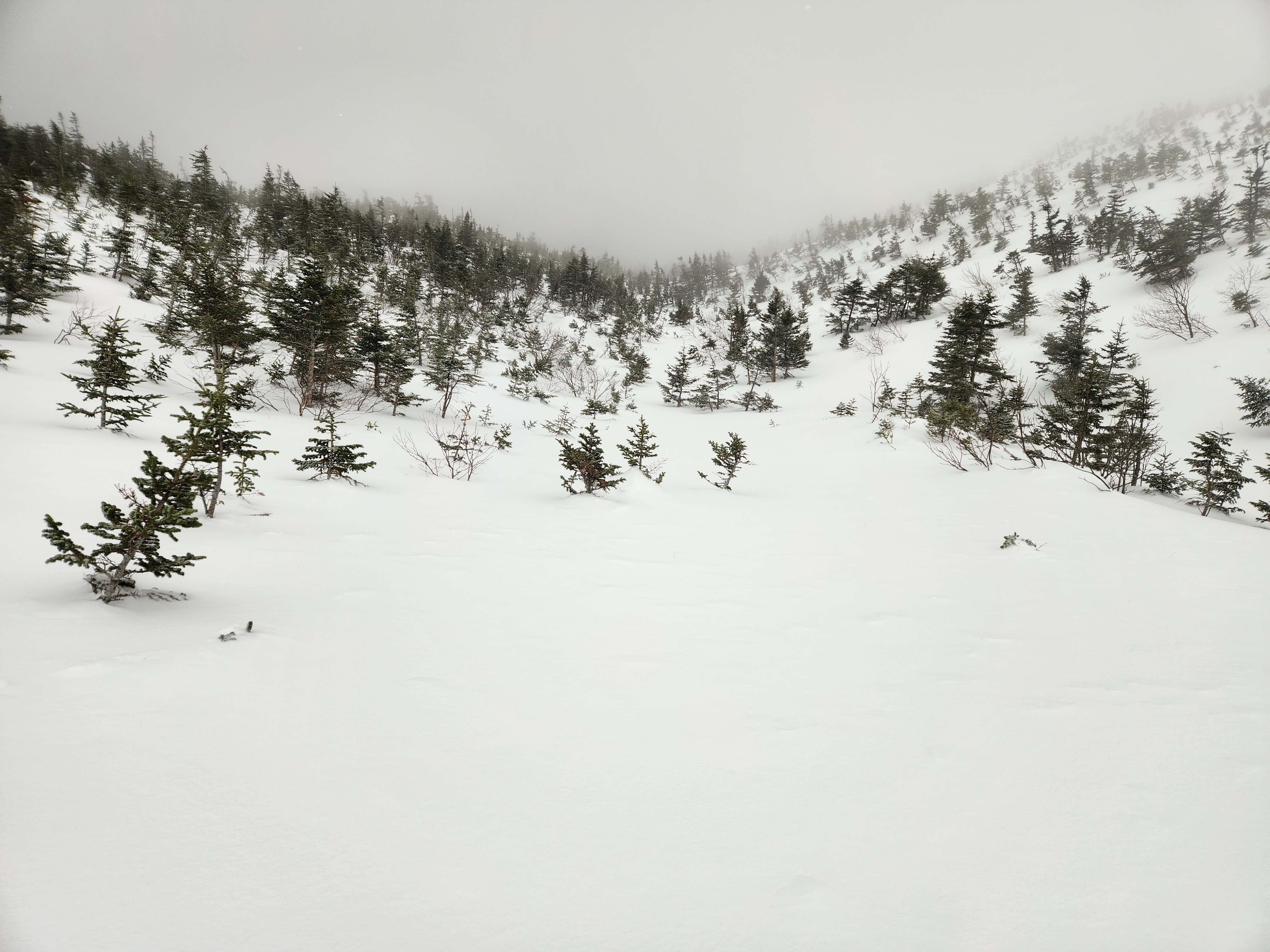
Quick report
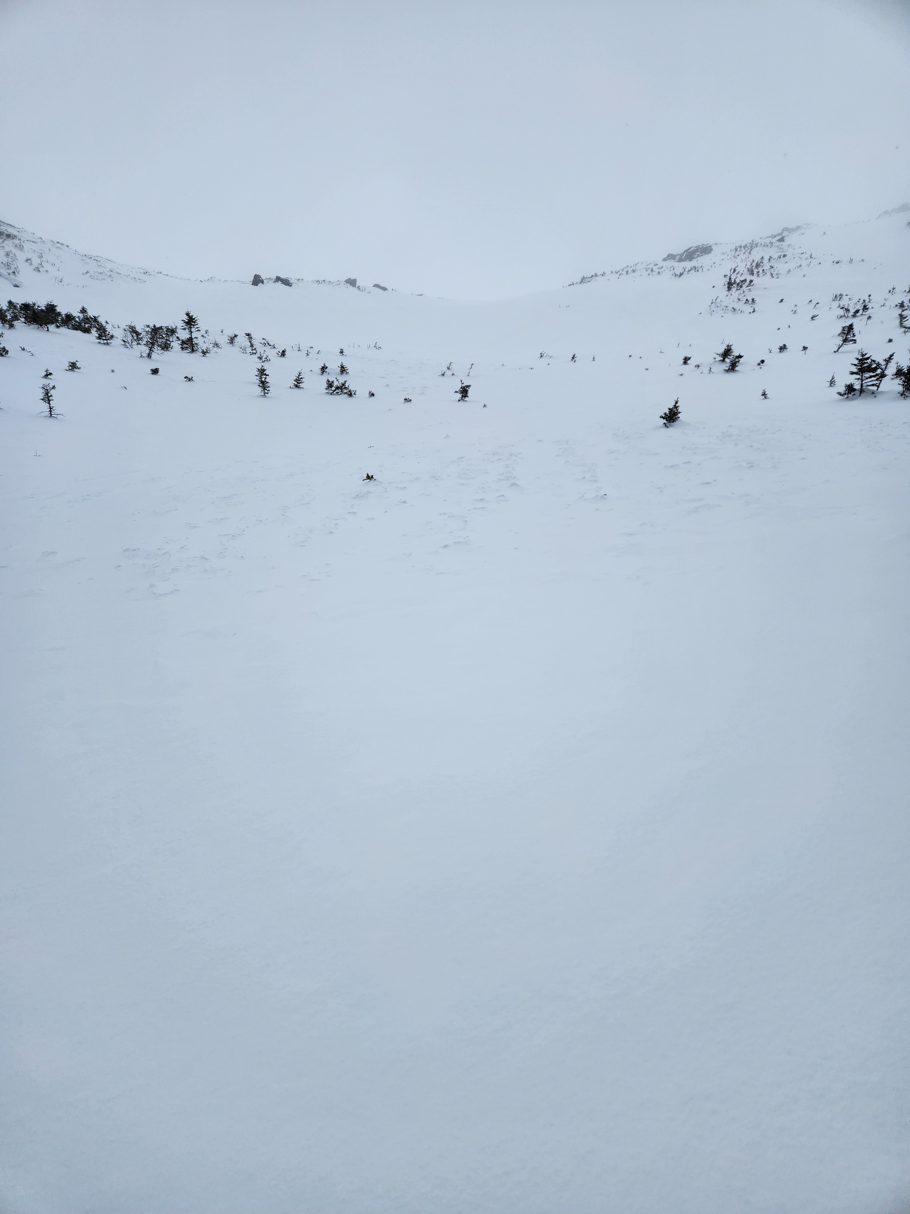
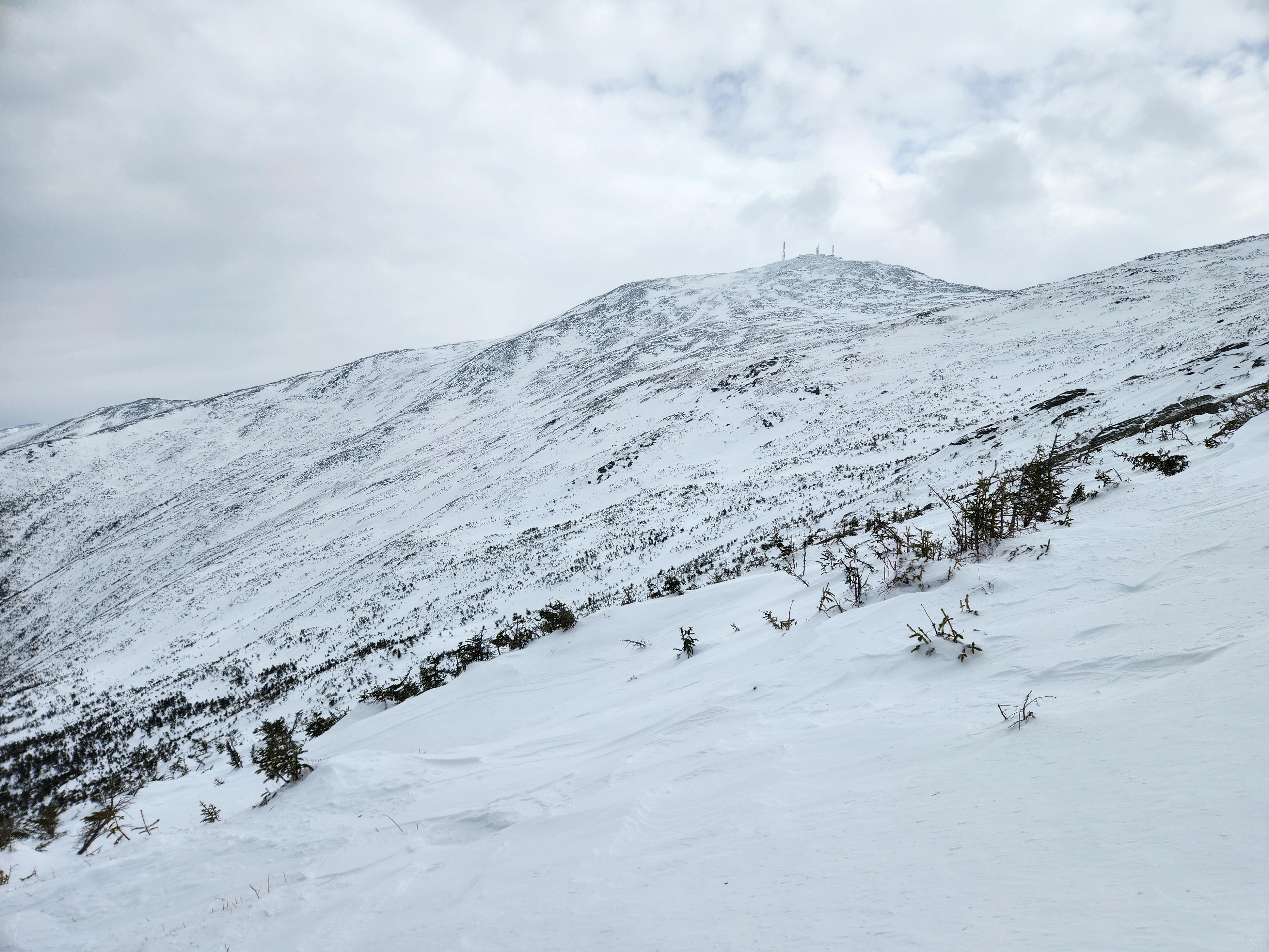
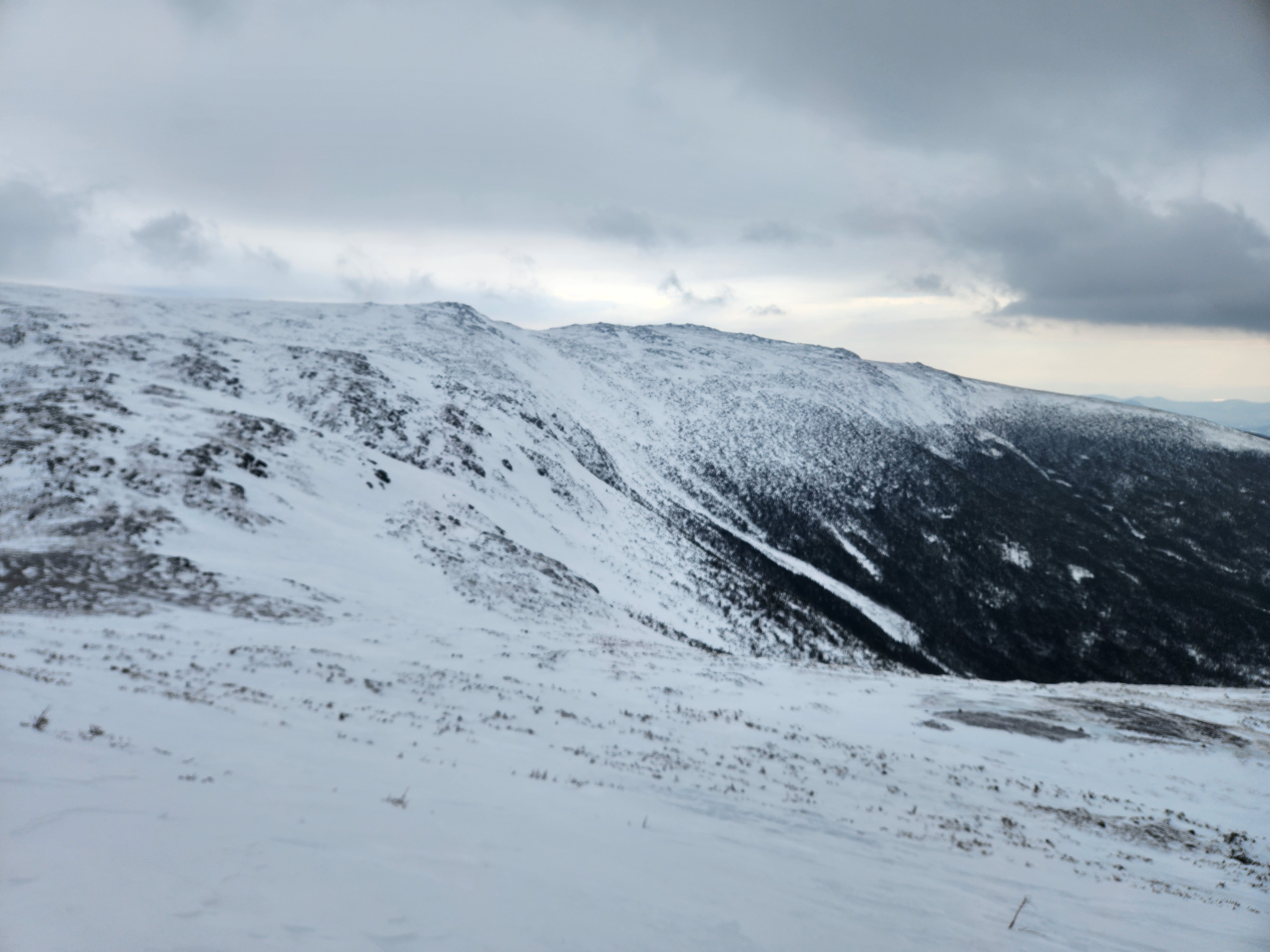
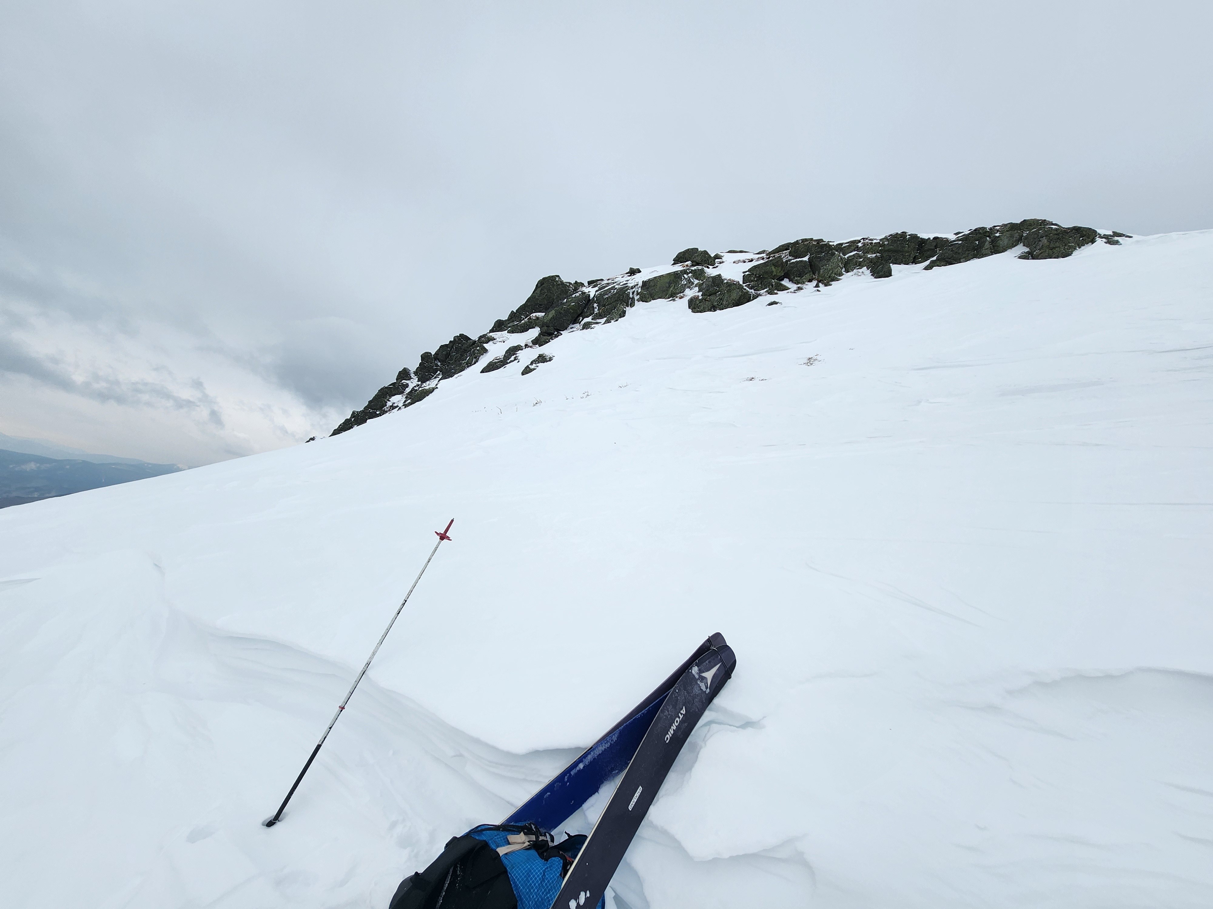
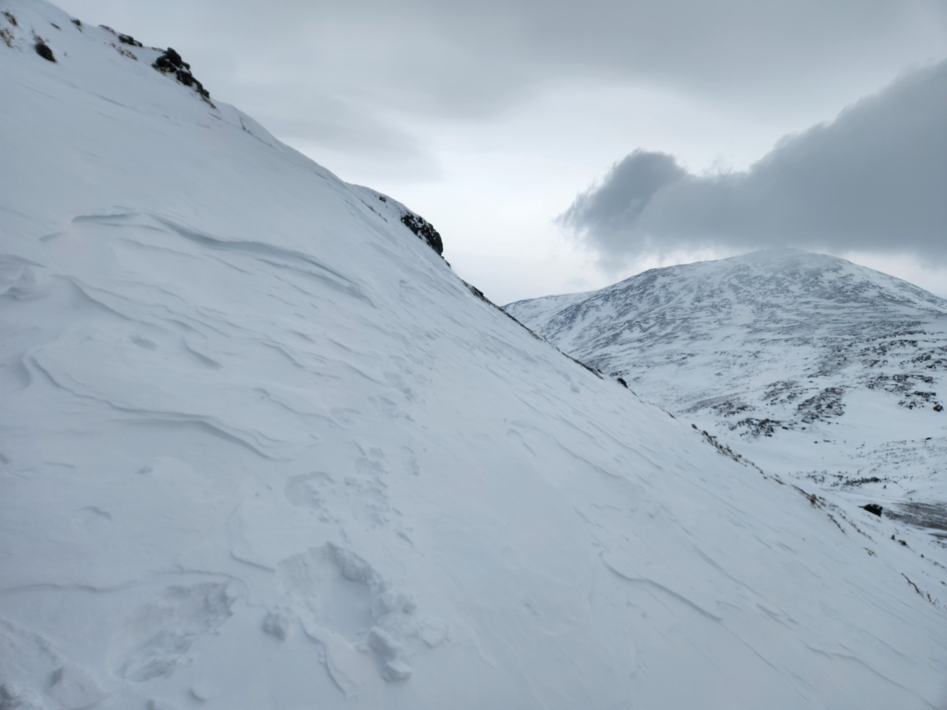
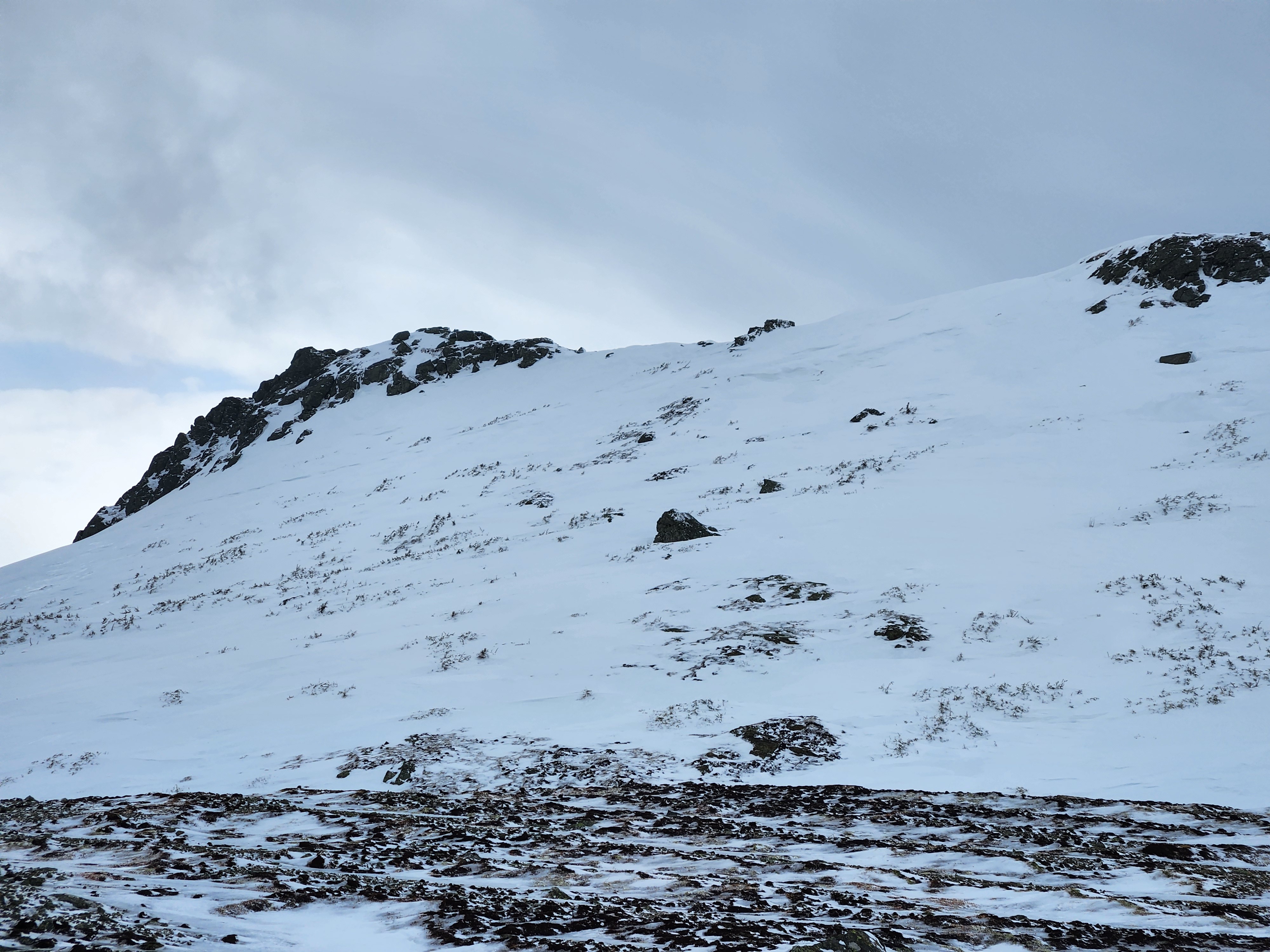
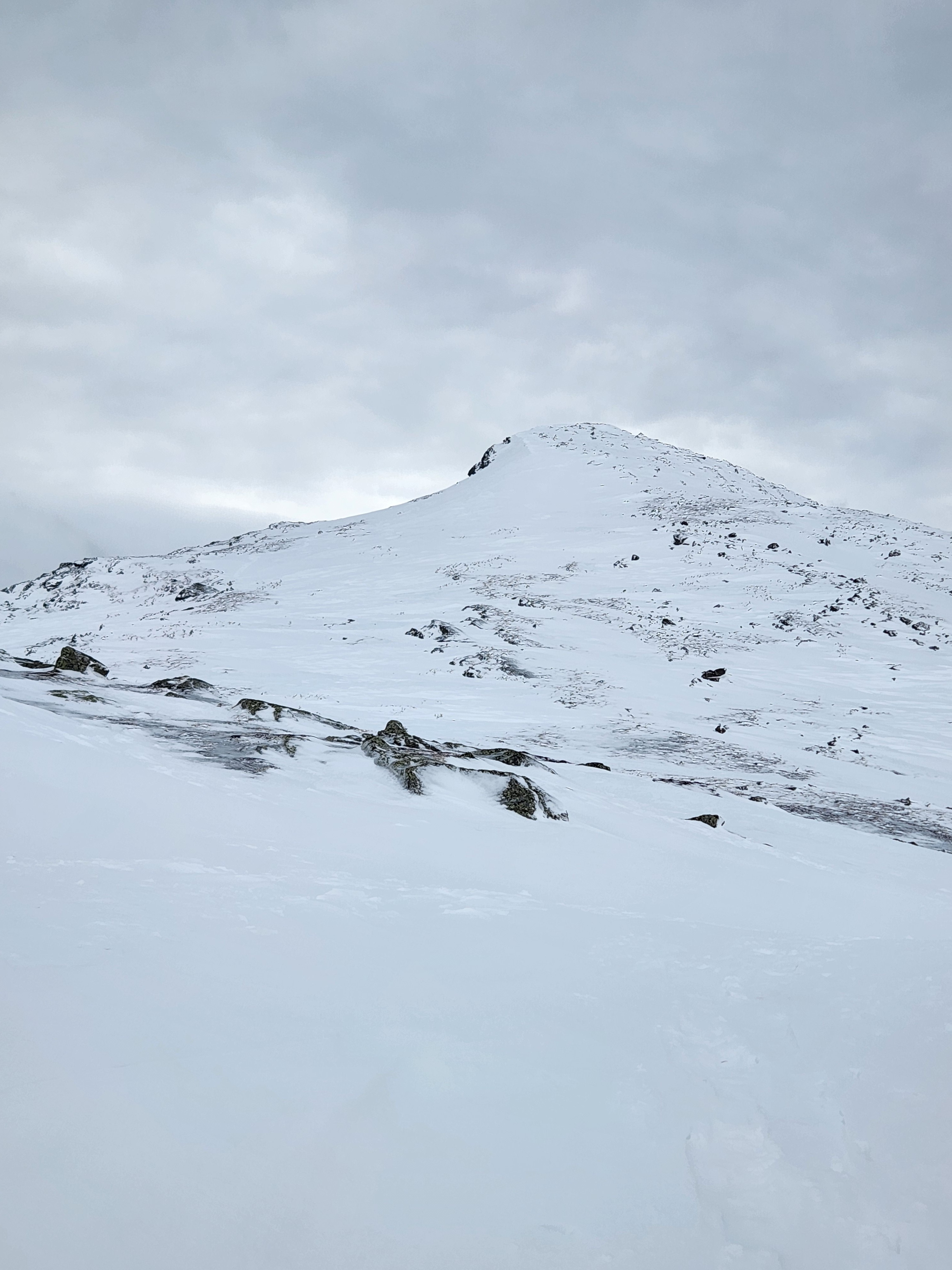
A mixed bag of conditions were found on both southeast and northwest aspects off the summit of Mt. Monroe. Between 5300 and 4800ft you could travel on mostly connected patches of stubborn, wind affected snow between areas of thick exposed ice crust. Descending into both Oaks Gulf and Monroe Brook, turns started on wind board and became softer in 3 inches of unconsolidated recent snow sitting on a supportable surface that decreased in hardness as we descended.
Descending below 3000ft at 3pm, snow became heavy, wet and sticky from hours of above freezing temperatures.
Weather
- Air Temp
- 22F @10:30am
- Cloud Cover
- overcast
- Wind Loading
- light
- Recent Snowfall
- Flurries at 11:30am
- Snow Avail For Transport
- none
Broken skies quickly became overcast with the higher summits in the coulds at 1130am. Snow squalls 1130am-1230pm . Strong winds decreased into the afternoon.
Snowpack
We dug a meter down in the snowpack on a 25deg SE aspect at 4680ft. Several weaker layers of decomposing precip particles were identified in the top 45cm (25 and 45cm down) above a pencil+ layer to the bottom of the pit. The layer 25cm down fractured but did not propagate across the column ECTP21. Overall snow depth was 300cm.
Debris in Main Gully ranged from 60-100cm. This small soft slab avalanche was presumed to run naturally on the 25th or 26th from wind loading.