
Quick report
Overcast skies with very light precipitation were present until noon. Around 1:15 pm, heavy precipitation (2"/hr) impacted the area and continued as we left at 2:00 pm. Most precipitation appeared to accumulate on the east side of the continental divide throughout the day. Winds started calm with occasional light gusts. As the storm impacted the area, wind speed increased to produce moderate gusts and generally light winds.
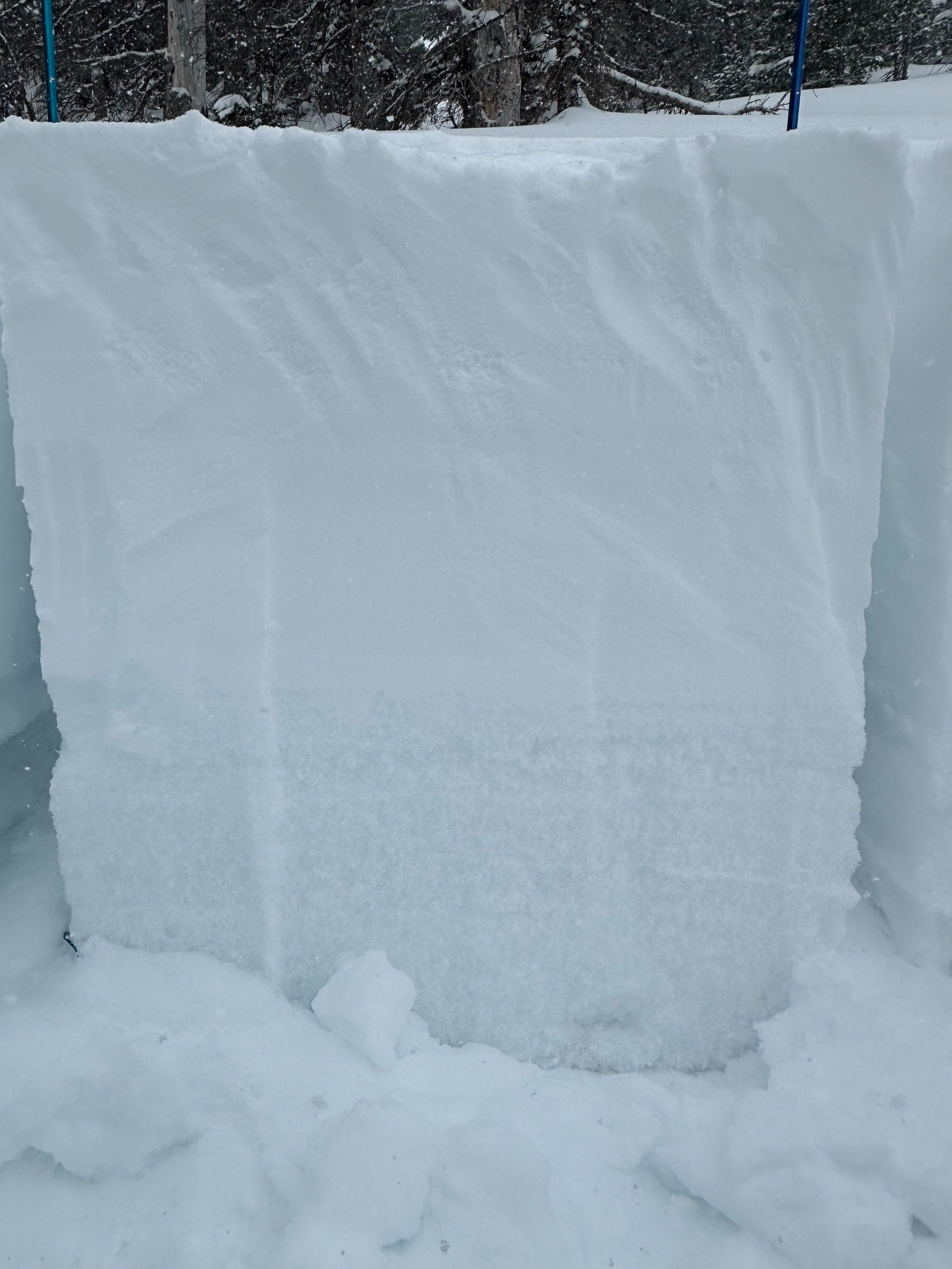
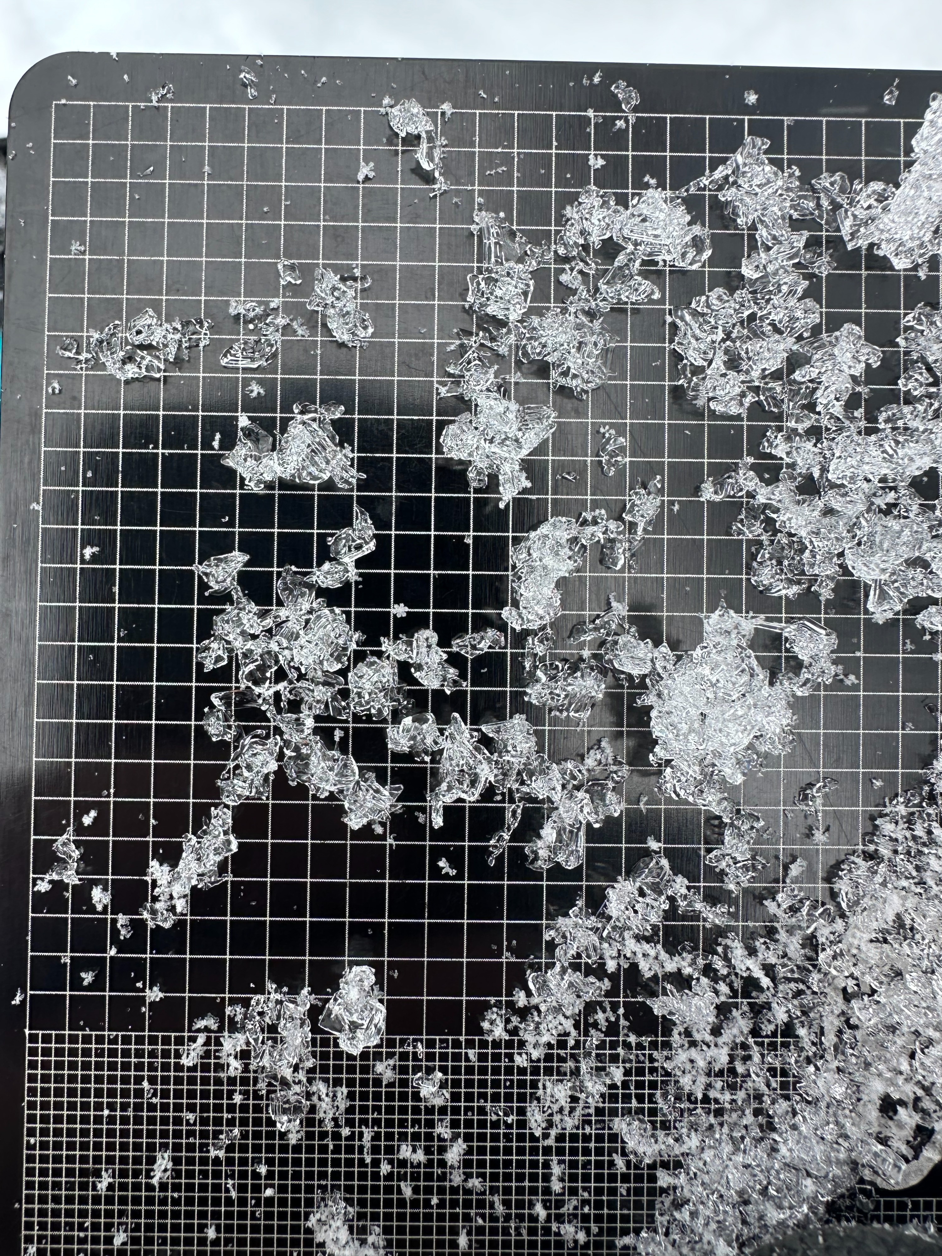
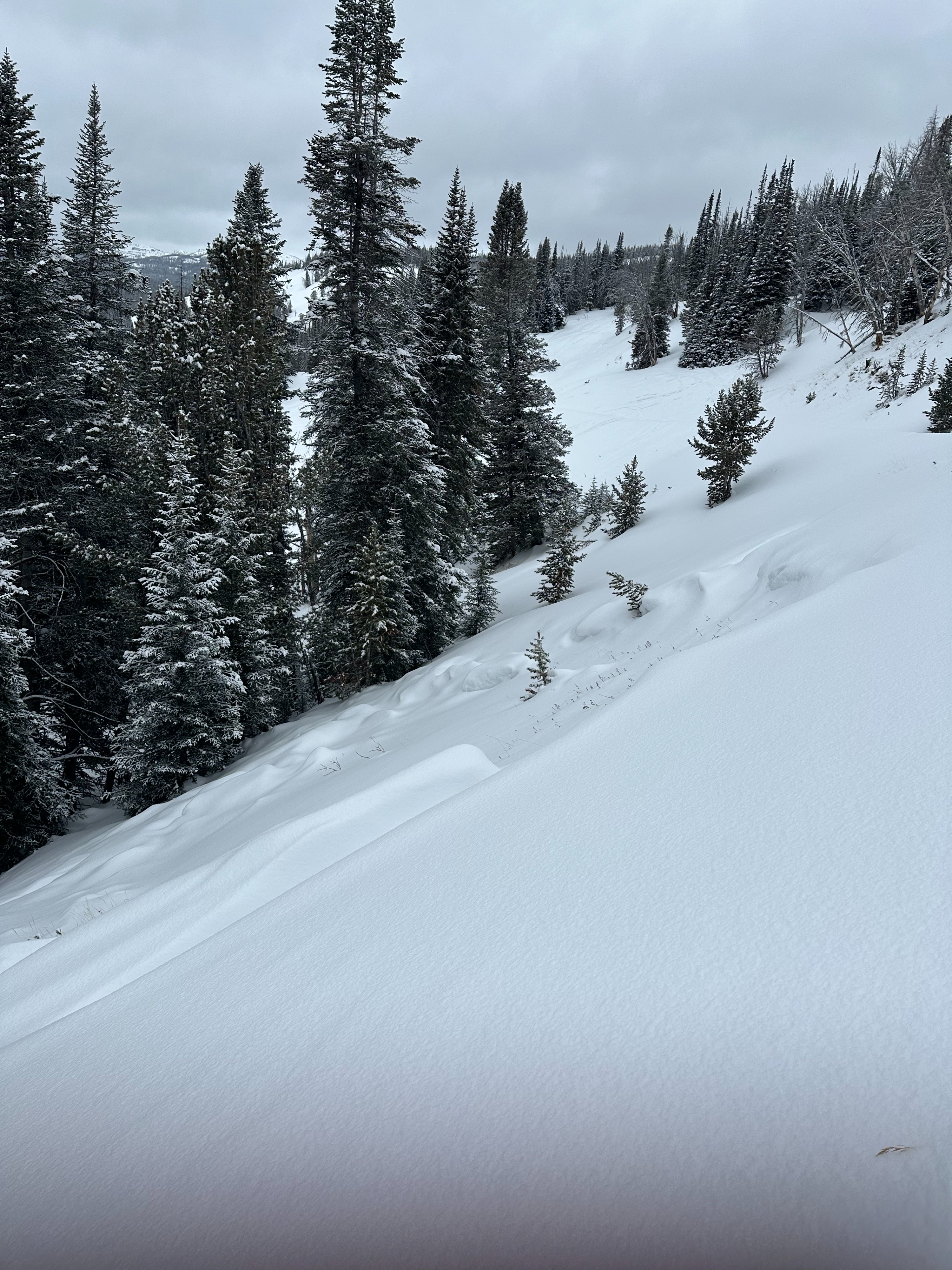
We dug into the snowpack on an NE aspect at 10,000' and found shallow, faceted snow. The total height of the snow was ~4 feet (125cm). The bottom 55cm of snow consisted of well-developed facets. A firm 1F- slab of snow ~2.5 feet thick was sitting on top of the weak sugary snow. Pit tests yielded an ECTP17 - 75cm down in the facet layers. This snowpack is consistent with previous observations from the season. The east side of the continental divide has received less snow and therefore harbors a much shallower snowpack compared to the west side of the divide. Weak layers are well developed on northern aspects and much easier to impact below the snow surface. Pay attention to snow depth as you ride, the snowpack around Togwotee varies dramatically geographically. Use riding conditions as clues. If your sled digs into weak sugary snow, you've likely found a shallower snowpack.
-16 inches of snow at 2.25" SWE cleared from the Brooks interval board.
No signs of instability were noted.
Weather
- Cloud Cover
- obscured
- Wind Loading
- light
- Recent Snowfall
- 10
- Snow Avail For Transport
- moderate amounts