
Weather
- Air Temp
- 6
- Cloud Cover
- clear
- Wind Loading
- previous
- Rain Elevation
- Not Observed
- Recent Snowfall
- None
- Snow Avail For Transport
- small smounts
Temperatures felt beachy in comparison to recent negative temps, clear skies, no wind, no precipitation
Snowpack
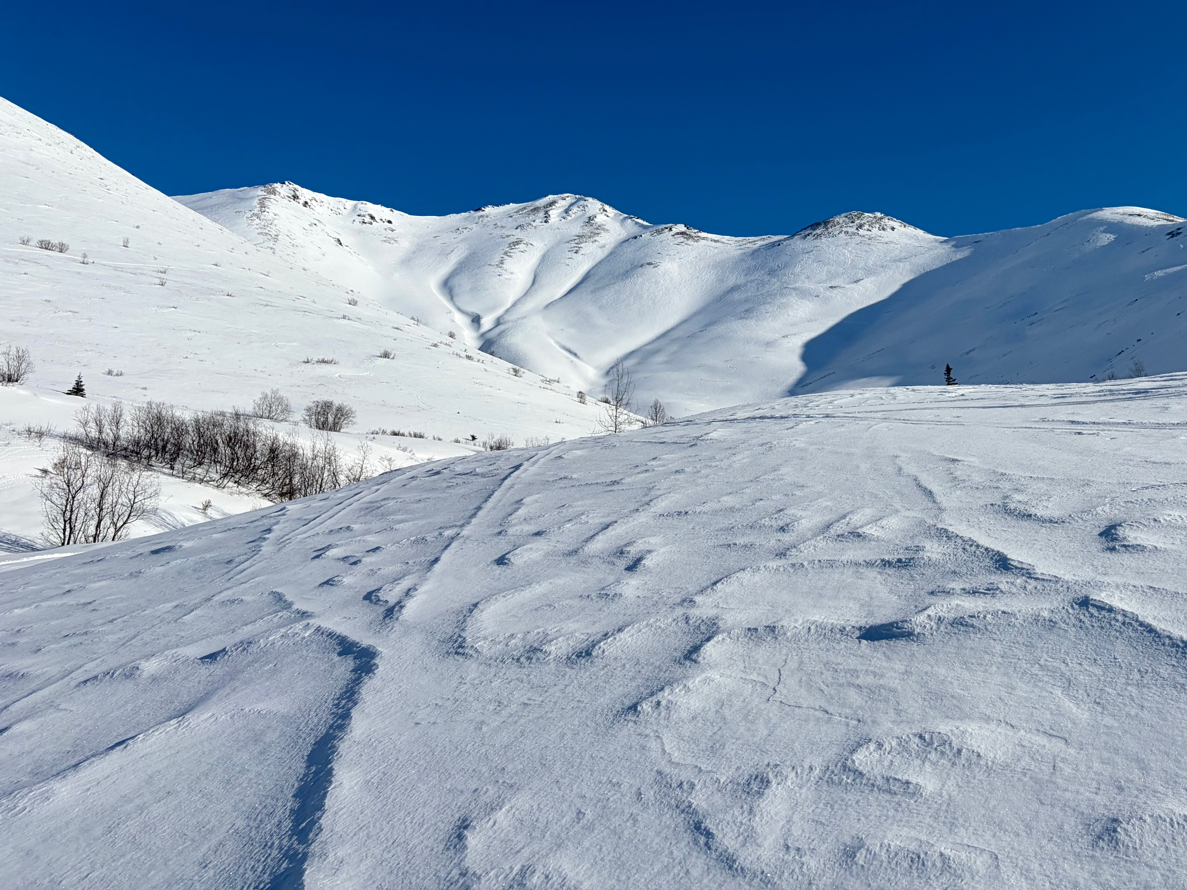
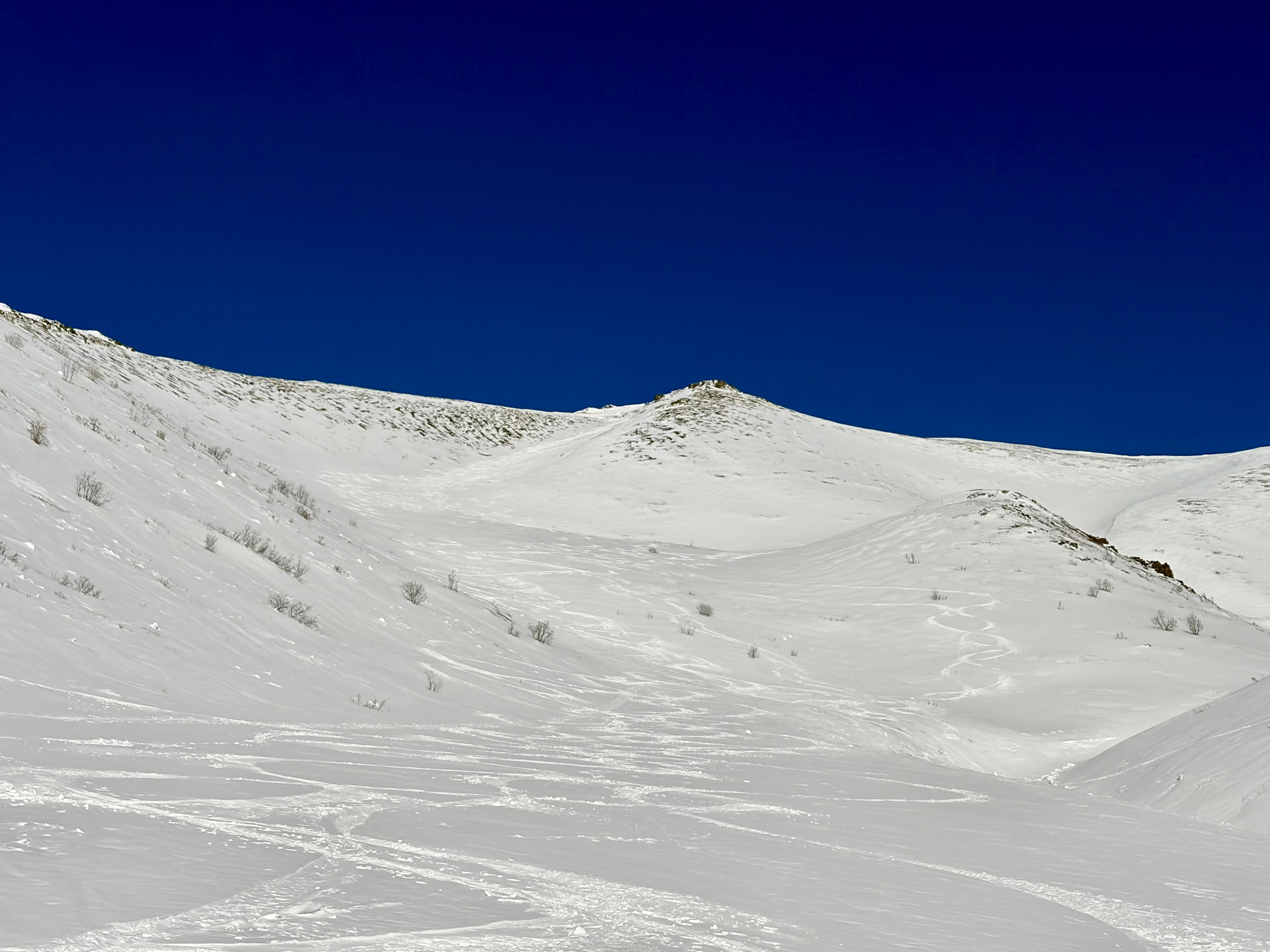
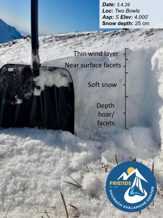
2–3" of soft snow covered most surfaces that had not been stripped to bare ground with an intermittent sun crust on steep south facing terrain. Beneath the new snow, the surface consisted of highly variable wind-affected snow, including firm icy layers, punchy wind skin, and supportable wind board. Snow surface quality was generally better at higher elevations and became increasingly variable through mid and lower elevation bands.
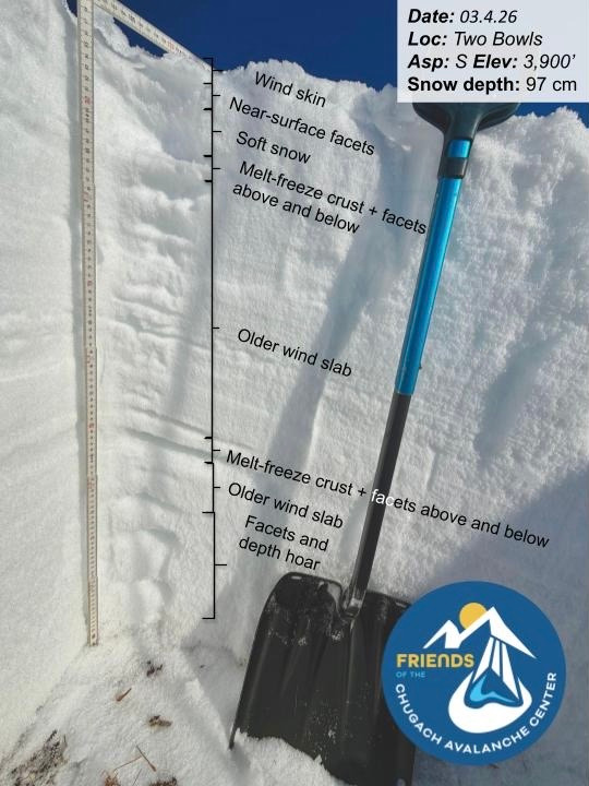
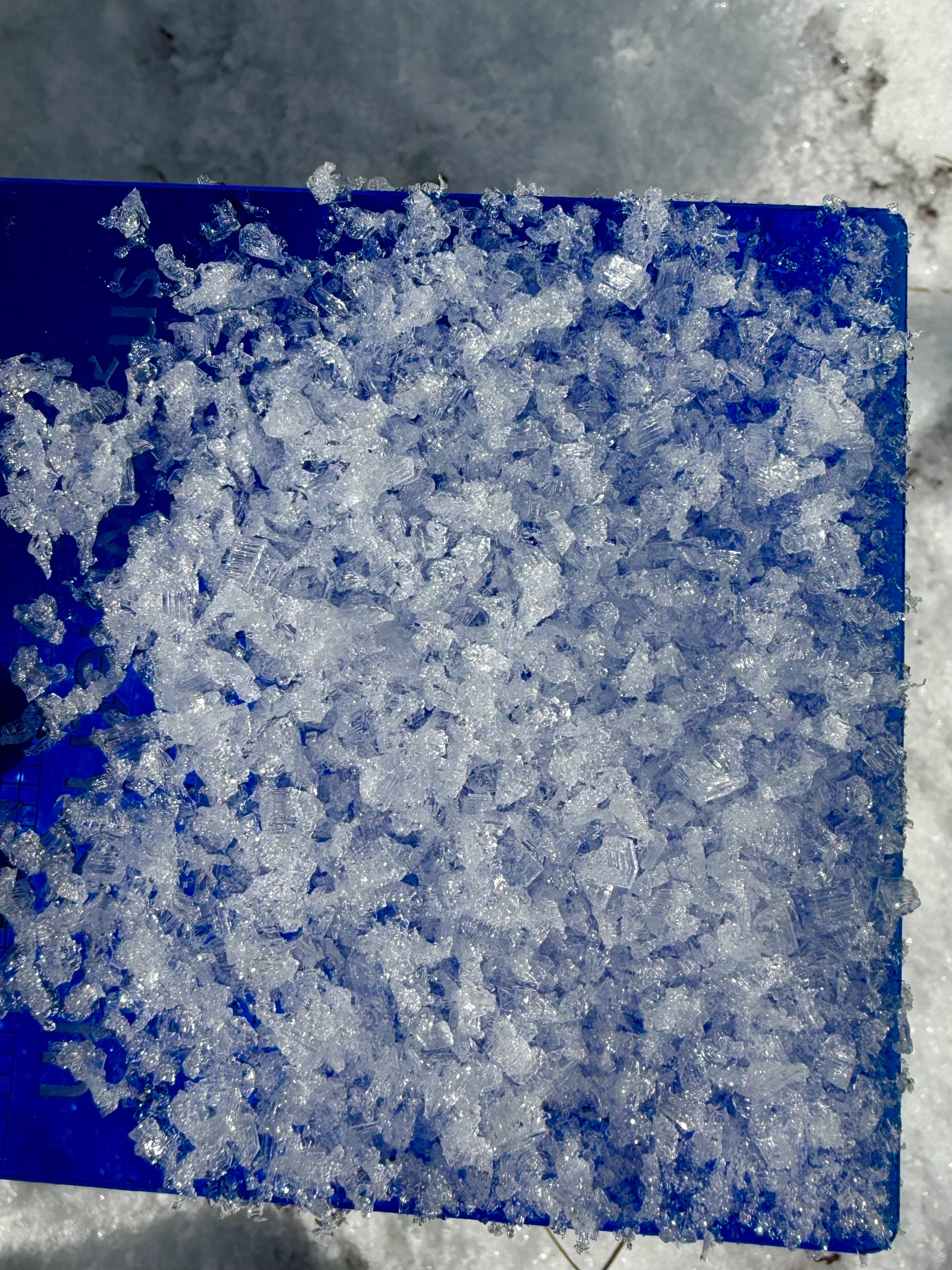
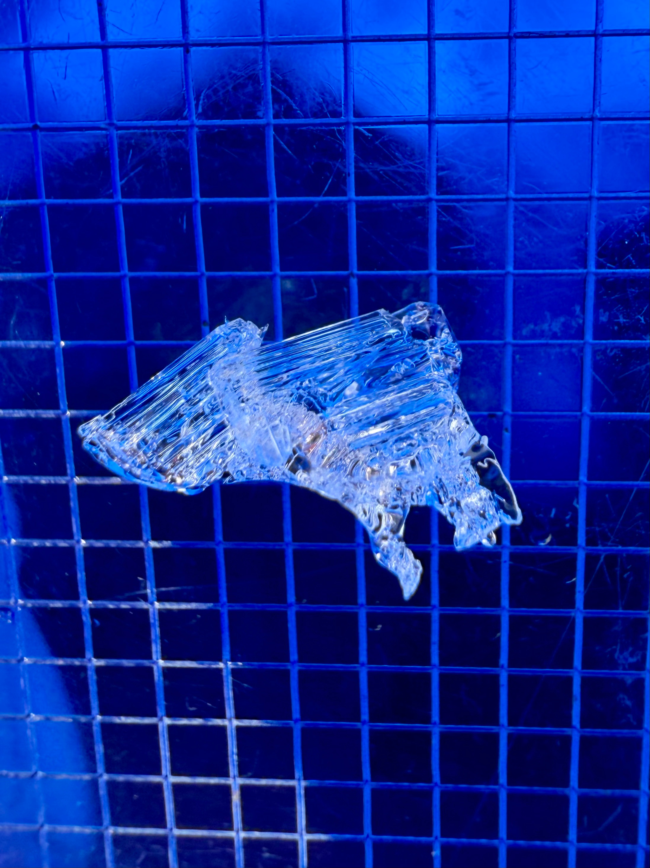
The snowpack structure remains poor, with several layers of weak faceted snow: near-surface facets formed during recent cold, clear weather, multiple faceted layers in the mid-pack, and advanced depth hoar near the ground. These weak layers are interspersed with hard wind slabs. Despite this structure, no avalanches have been documented on these layers since January 28, and we did not observe any concerning test results.
Because the weak layers remain present, it is not impossible to trigger an avalanche on them. A pattern change in the forecast calls for new snow beginning Friday into Saturday, accompanied by sustained high ridgetop winds. Depending on how much snow and wind materialize, avalanche danger could increase over the weekend.
Avalanche
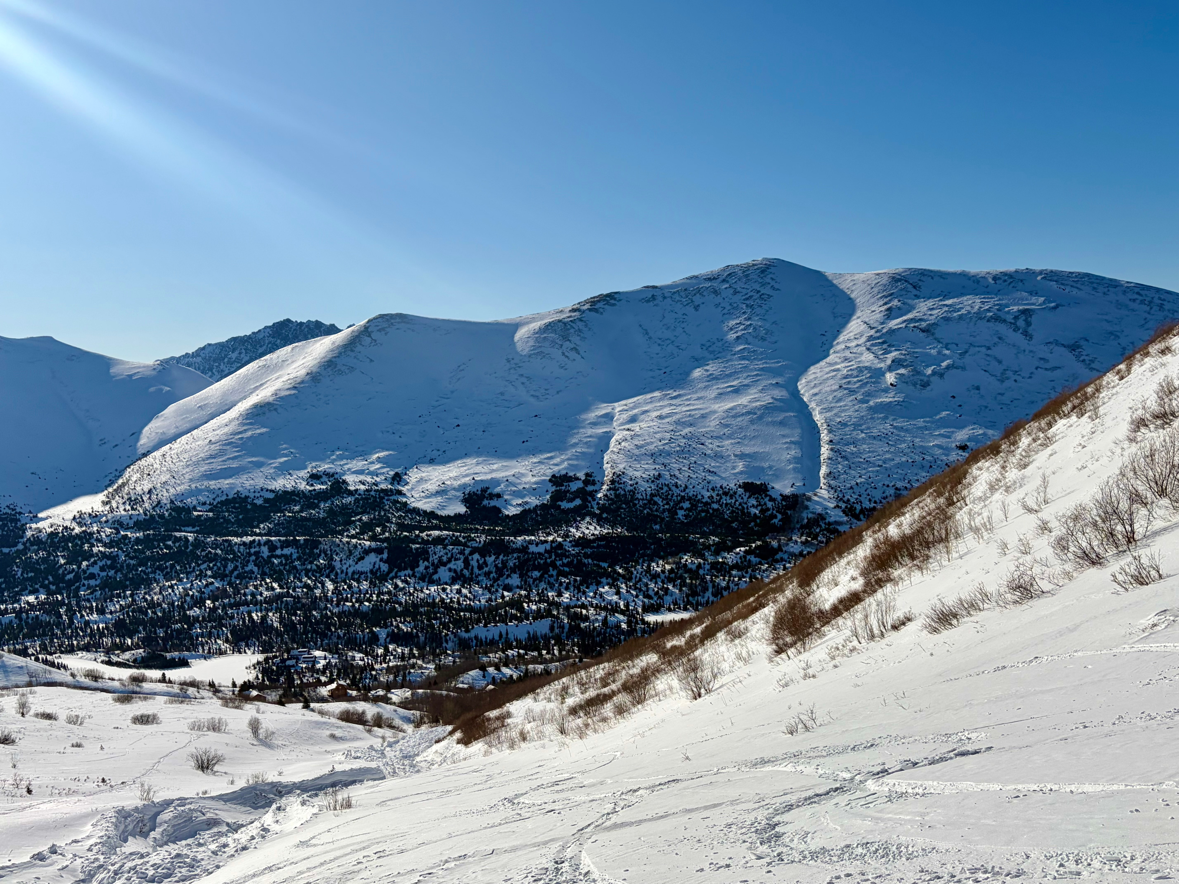
We did see debris from the Two Bowls avalanche that likely occurred on January 28th.