
Quick report
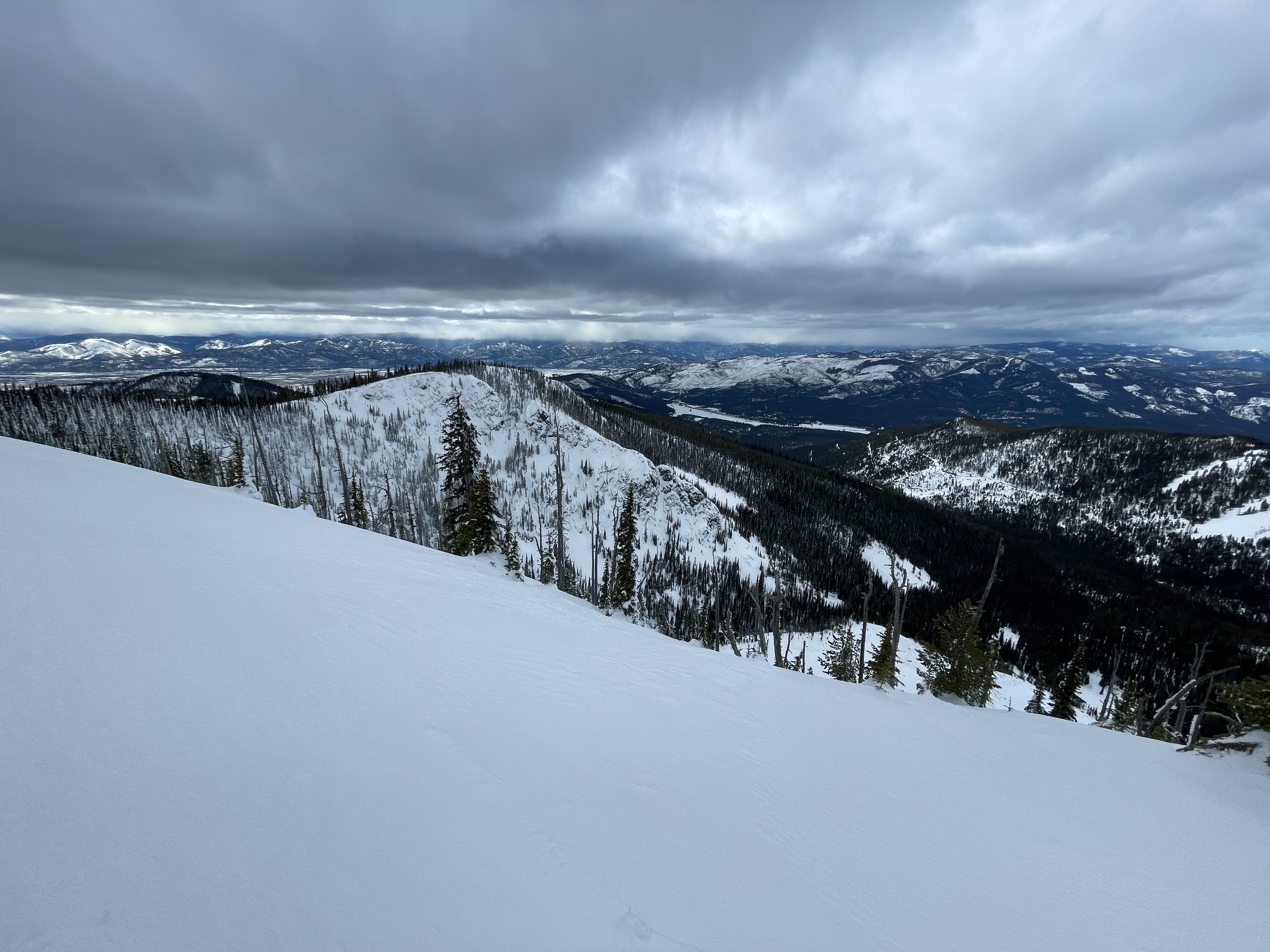
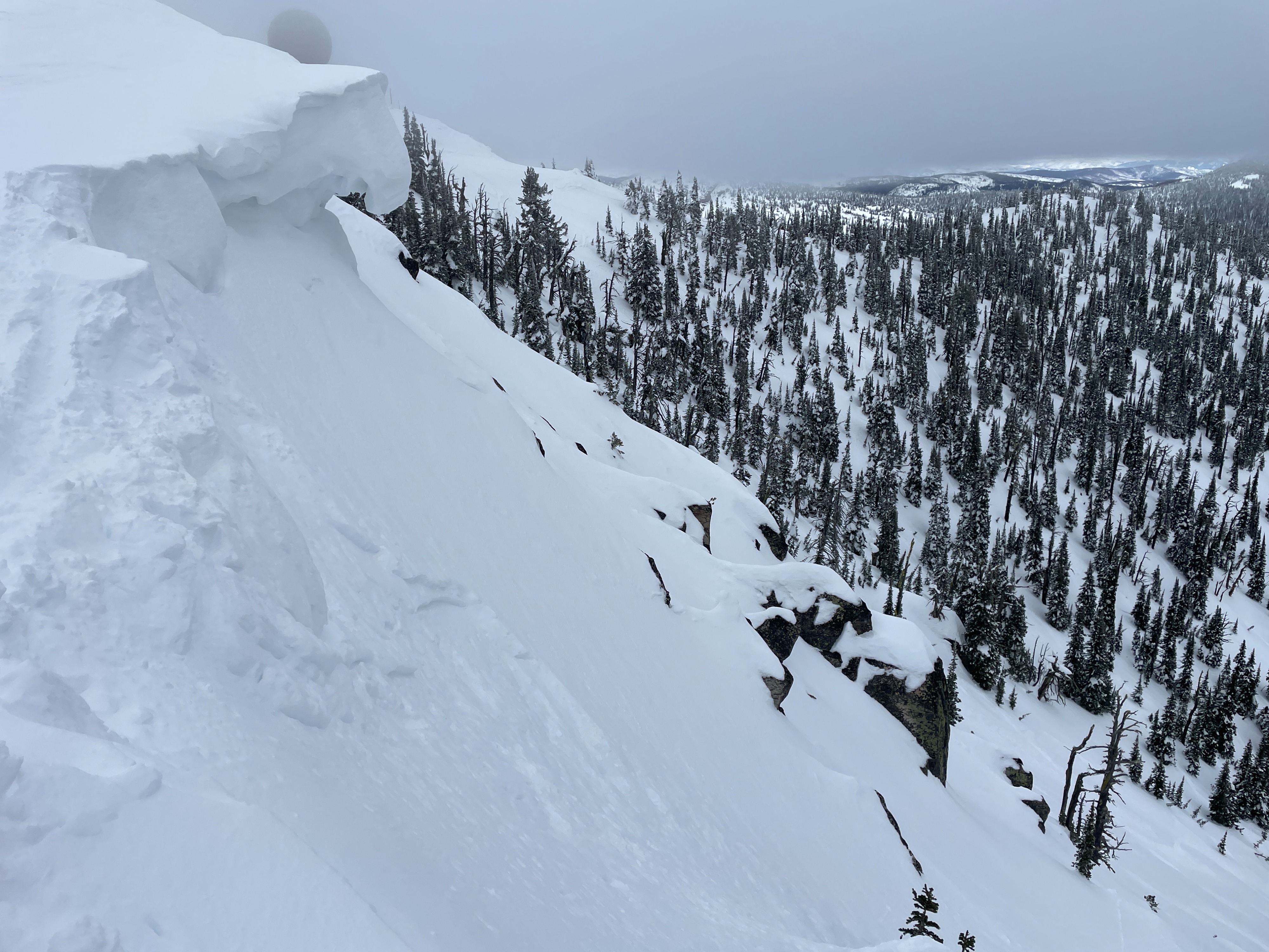
We found generally good stability today. Other than some stubborn cracking in cornices, we observed no signs of instability.
Upper elevations stayed cool and frozen today. Upper elevation slopes with any south tilt had a breaker sun crust at the surface. Upper elevation north aspects still hold dry snow. Lower elevations got wet in the afternoon due to warm temperatures and light rain below 5500 ft. I suspect it would have been possible to trigger small wet loose on steep lower elevation slopes. We observed several small natural wet loose slides and rollerballs on lower elevation road cuts that occurred over the weekend during the sun and warm temperatures.
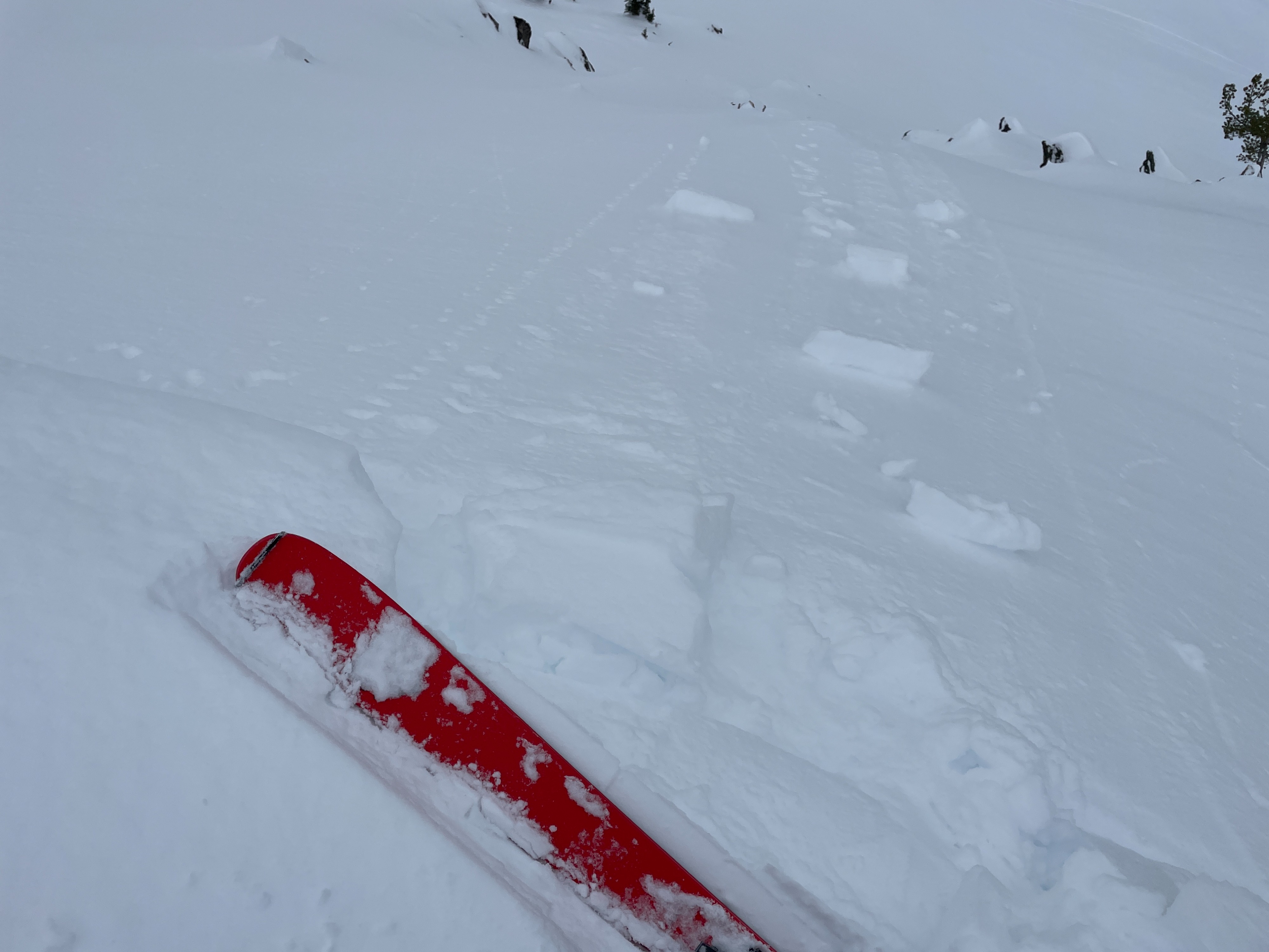
We observed a small wind slab on a wind loaded east aspect that appeared to have been initiated by a skier triggered cornice drop over the weekend.
We dug a snowpit on a northeast aspect at 7750 ft. The total snow depth was 265 cm (104"). Compression tests produced minor failures in the recent storm snow and at the new/old interface, but extended column tests did not produce any propagating results. A thin crust buried 55 cm (22") deep did not produce any results.
Weather
- Air Temp
- 28
- Cloud Cover
- overcast
- Wind Loading
- none
- Rain Elevation
- 5500
- Recent Snowfall
- 0
- Snow Avail For Transport
- small smounts
Clouds were overcast today, with some light graupel in the afternoon at upper elevations and light rain below 5500 ft. Winds were light to moderate out of the southeast. Temperatures were cooler than expected. We measured an air temperature of 28 degrees Fahrenheit at 7750 ft at 1:30 pm.