
Quick report
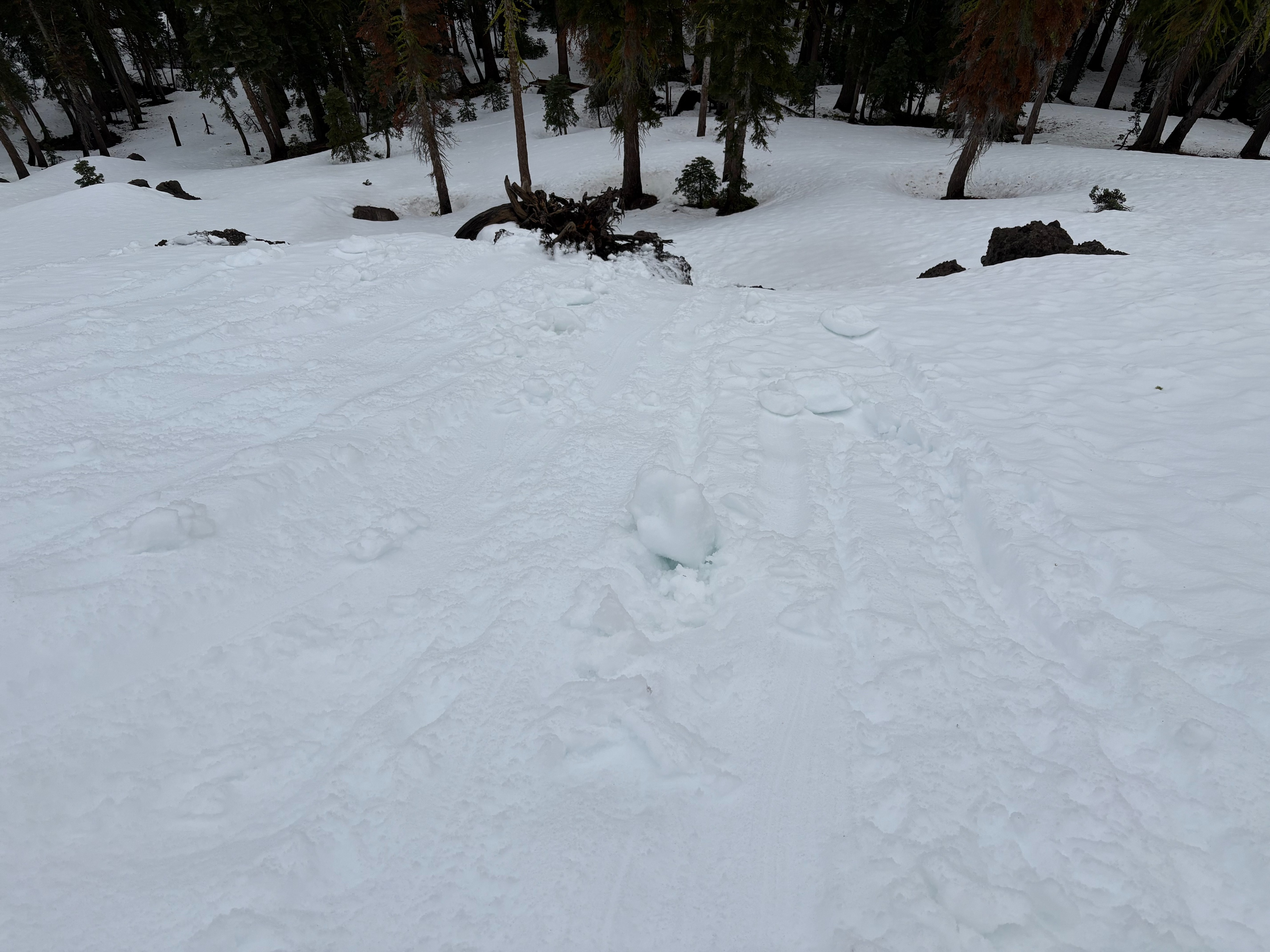
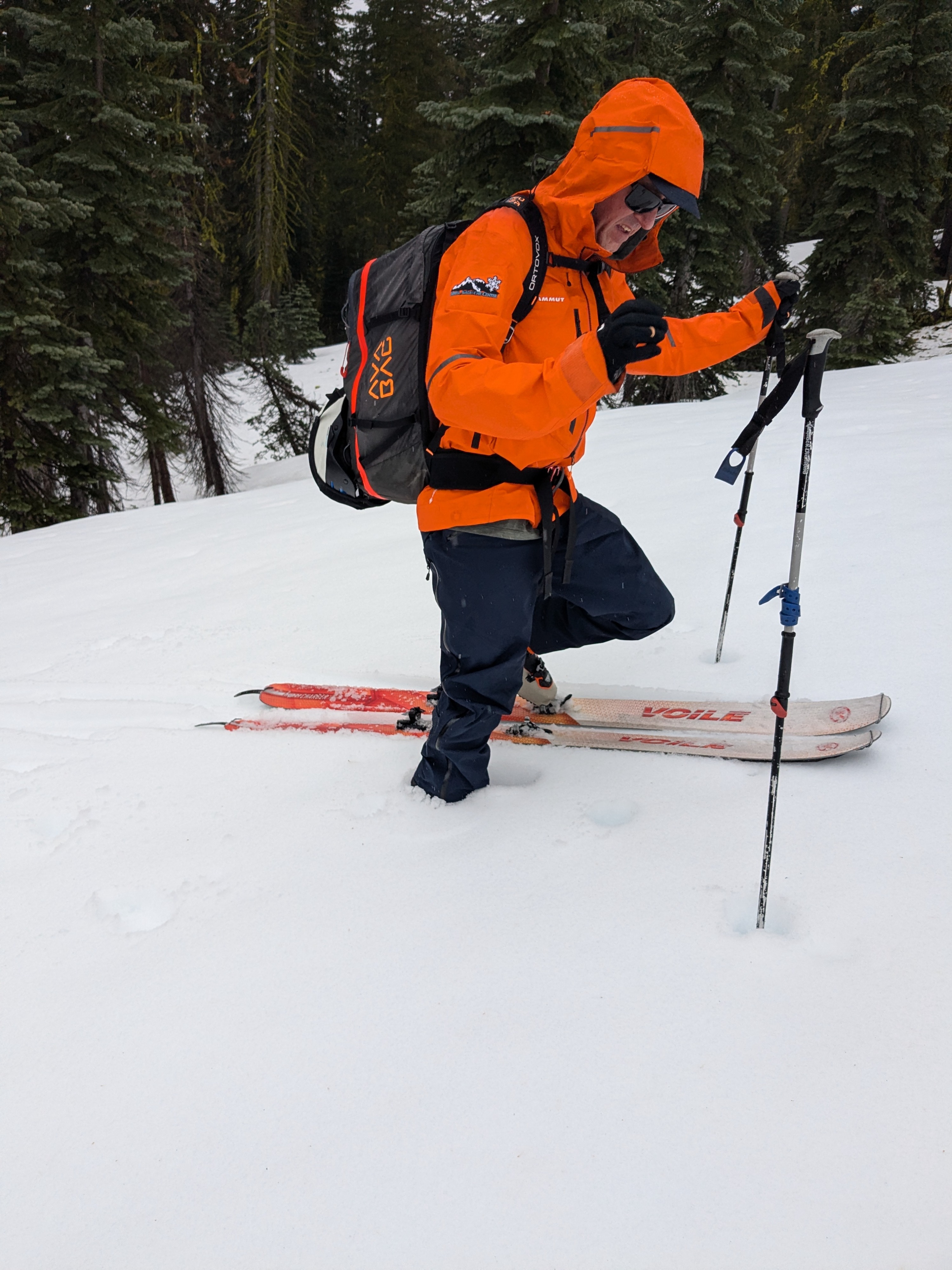
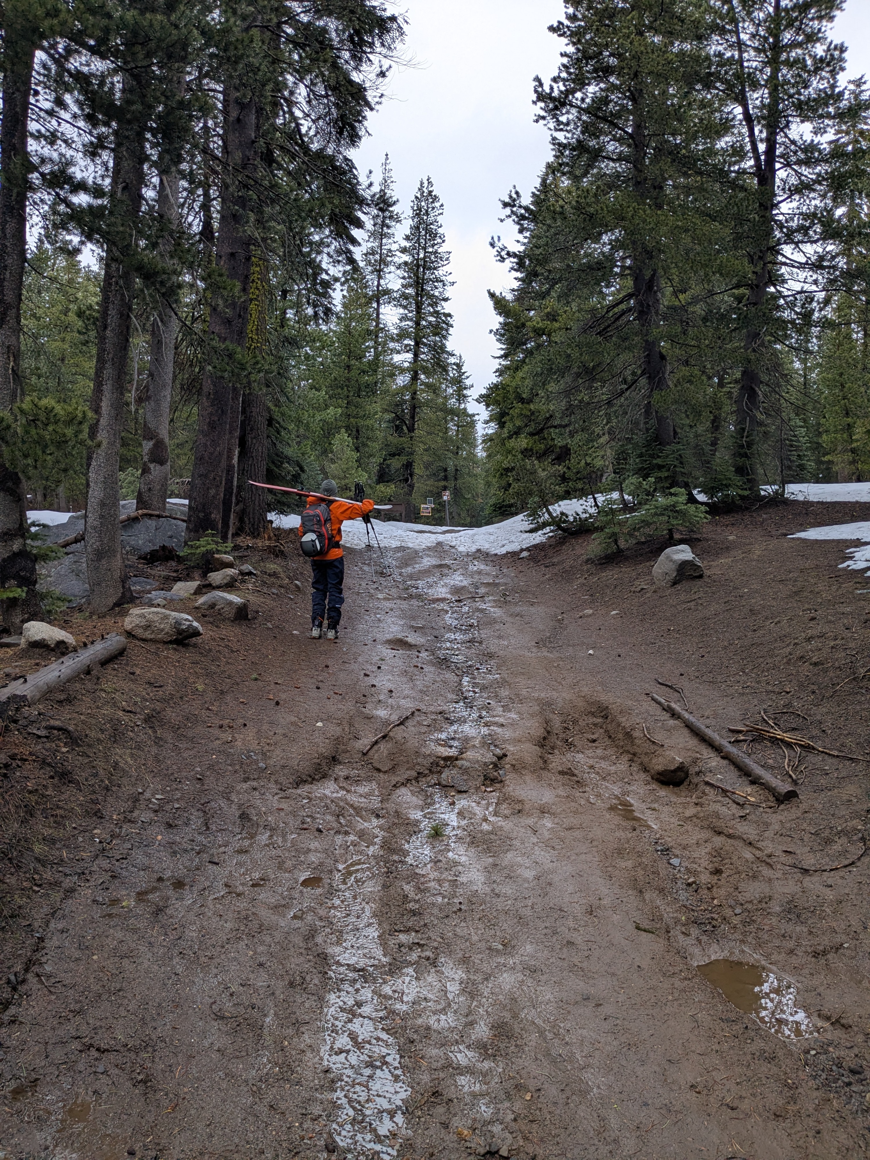
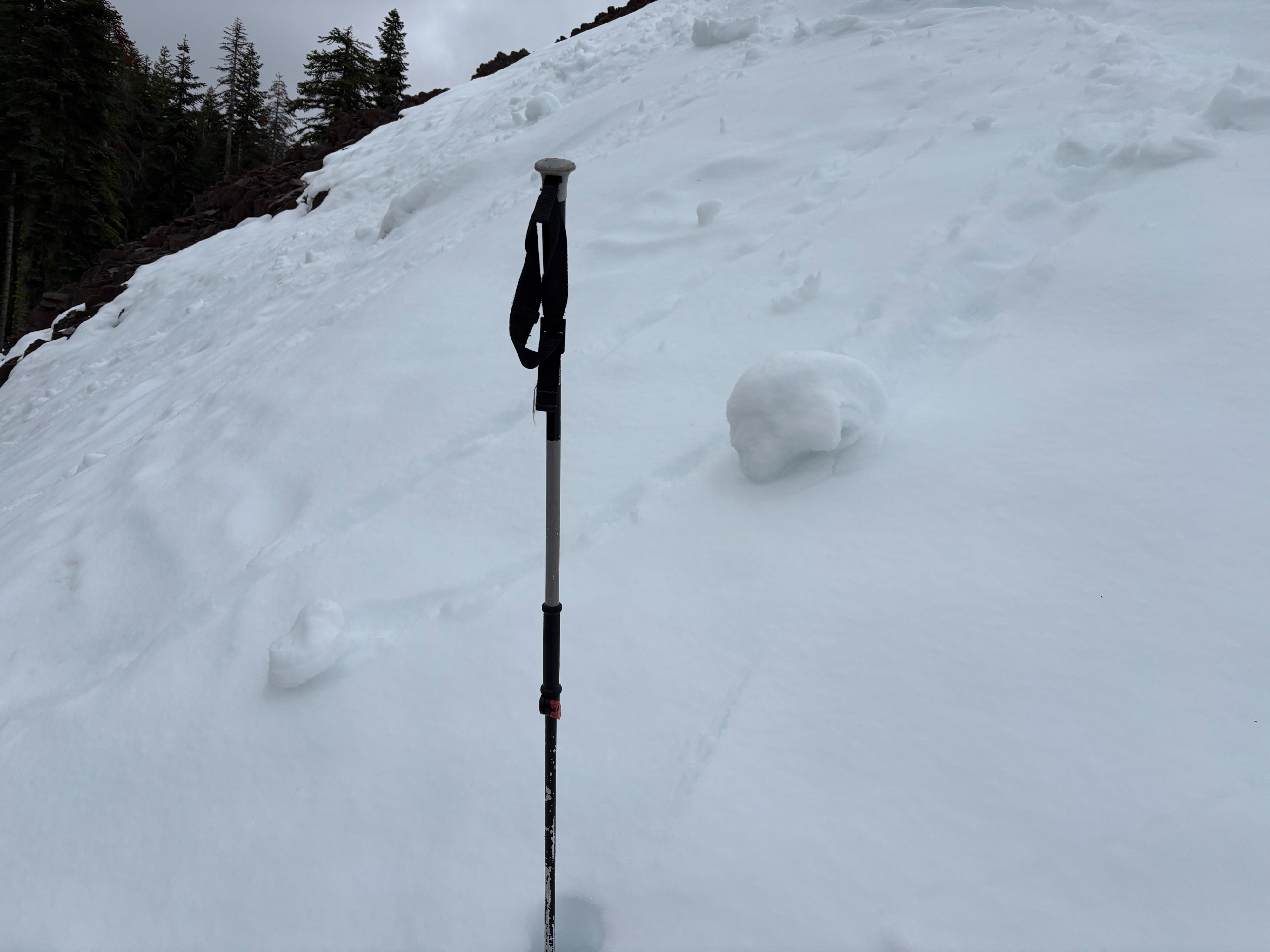
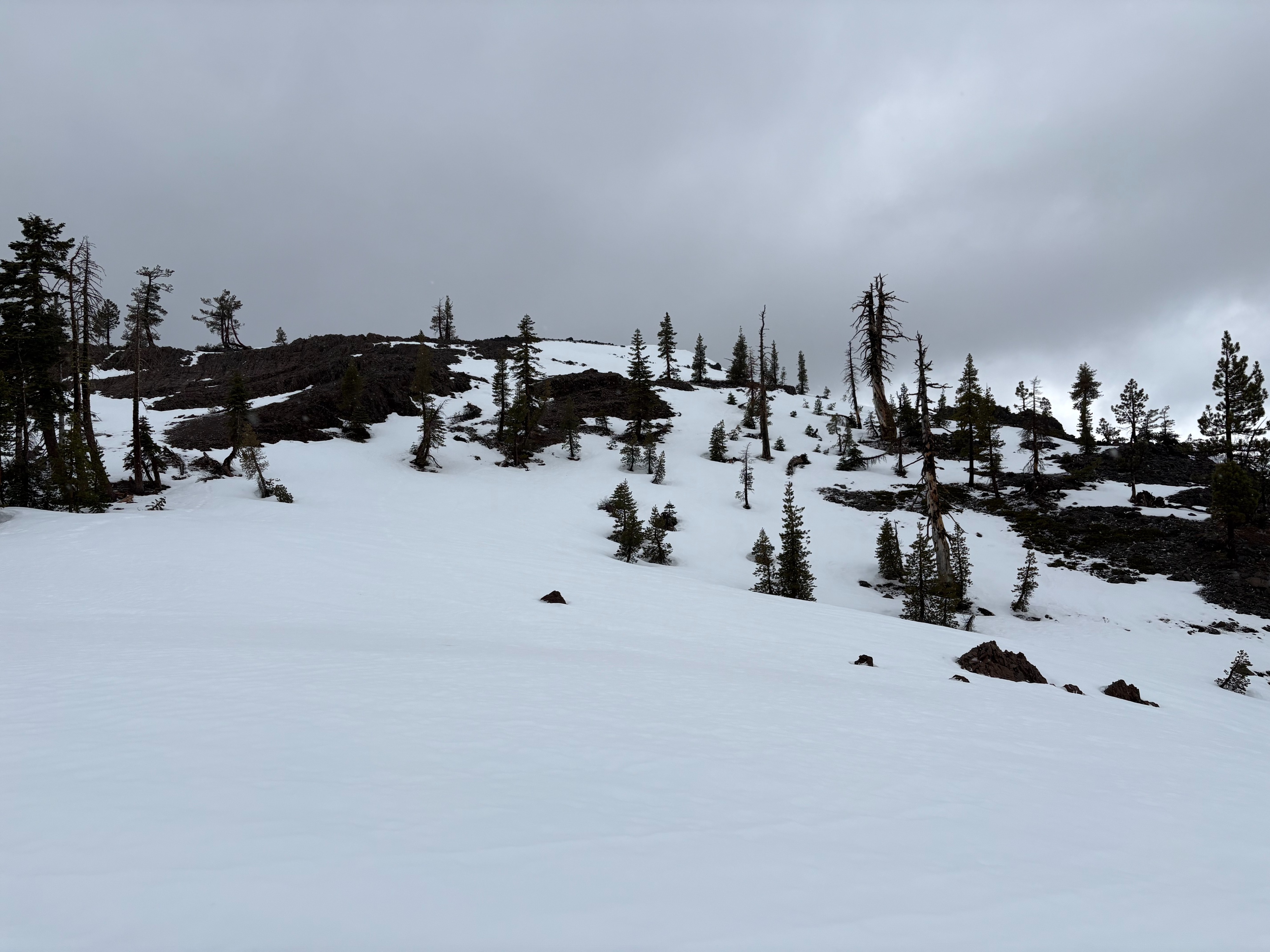
We went to Andesite Peak today to monitor storm conditions and get out of the area before any thunderstorms developed. This area is melting out with limited terrain available with adequate snow coverage for over the snow recreation. The Castle Valley Road does have large patches of dirt, but most of these can be traveled around to stay on snow. With no overnight refreeze, the surface snow was wet and mushy up to the peak at 8200 feet. Roller balls and small wet loose avalanches could be triggered by ski cuts on steep slopes. Much of this area now looks like it did before the past April 1-2 storm cycle.
Use caution if traveling in this area during or after this weekends snow storm. Early season conditions will exist with lots of exposed rocks, down trees, logs, open water, and stumps buried just under the new storm snow.
No overnight refreeze in this area. 6 to 8'' of wet surface snow was reactive to ski cuts on steeper slopes.Weather
- Air Temp
- Above freezing
- Cloud Cover
- overcast
- Wind Loading
- none
- Rain Elevation
- 8000
- Recent Snowfall
- Trace
- Snow Avail For Transport
- none
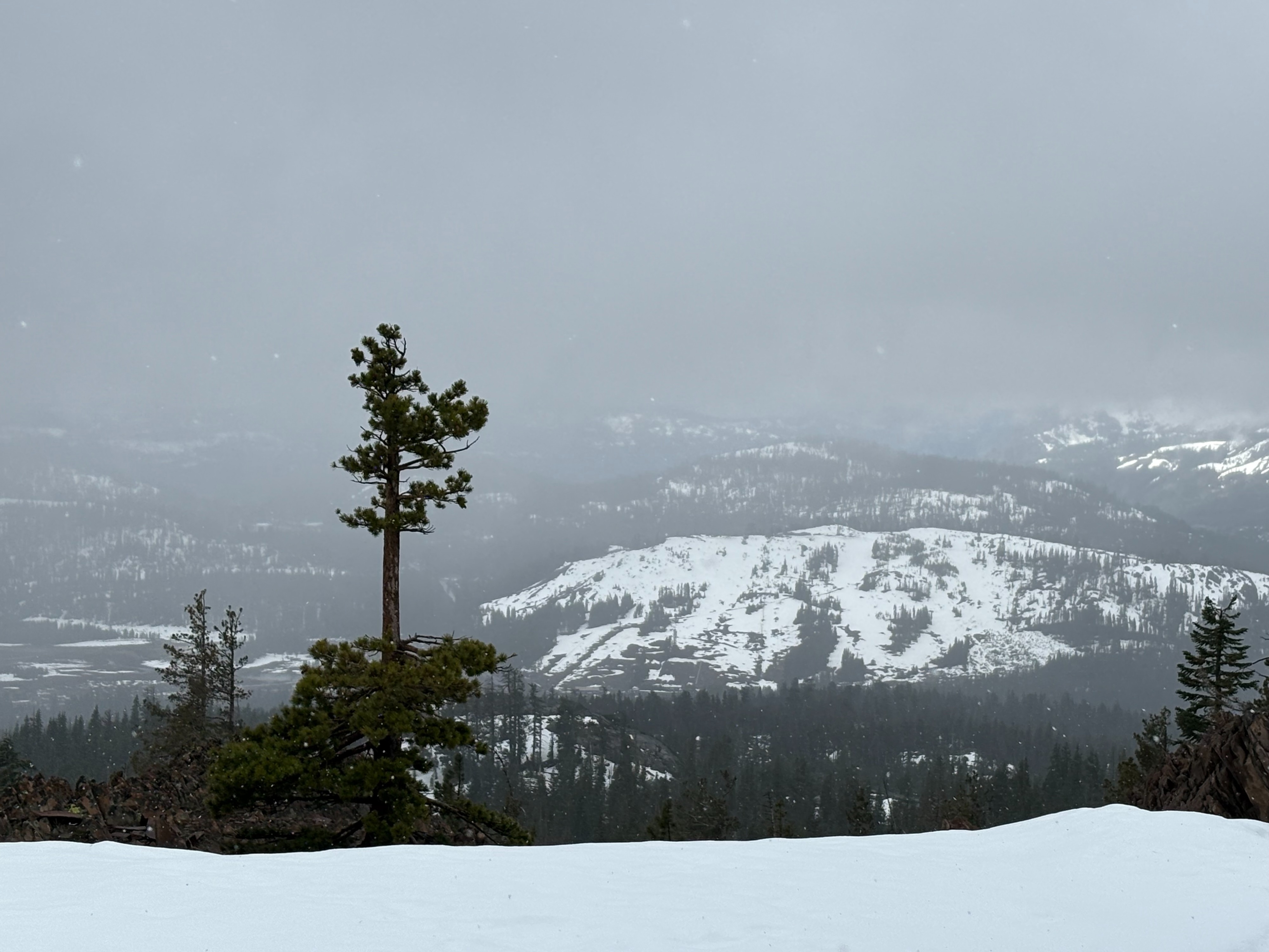
A very light dusting of new snow was found in this area this morning. Intermittent rain/snow showers occurred throughout the morning with the snow levels around 8000 feet. SW winds were light to moderate along the upper ridges.