
Weather
- Air Temp
- 46F
- Cloud Cover
- obscured
- Wind Loading
- none
- Rain Elevation
- above 10k
- Recent Snowfall
- 5
- Snow Avail For Transport
- none
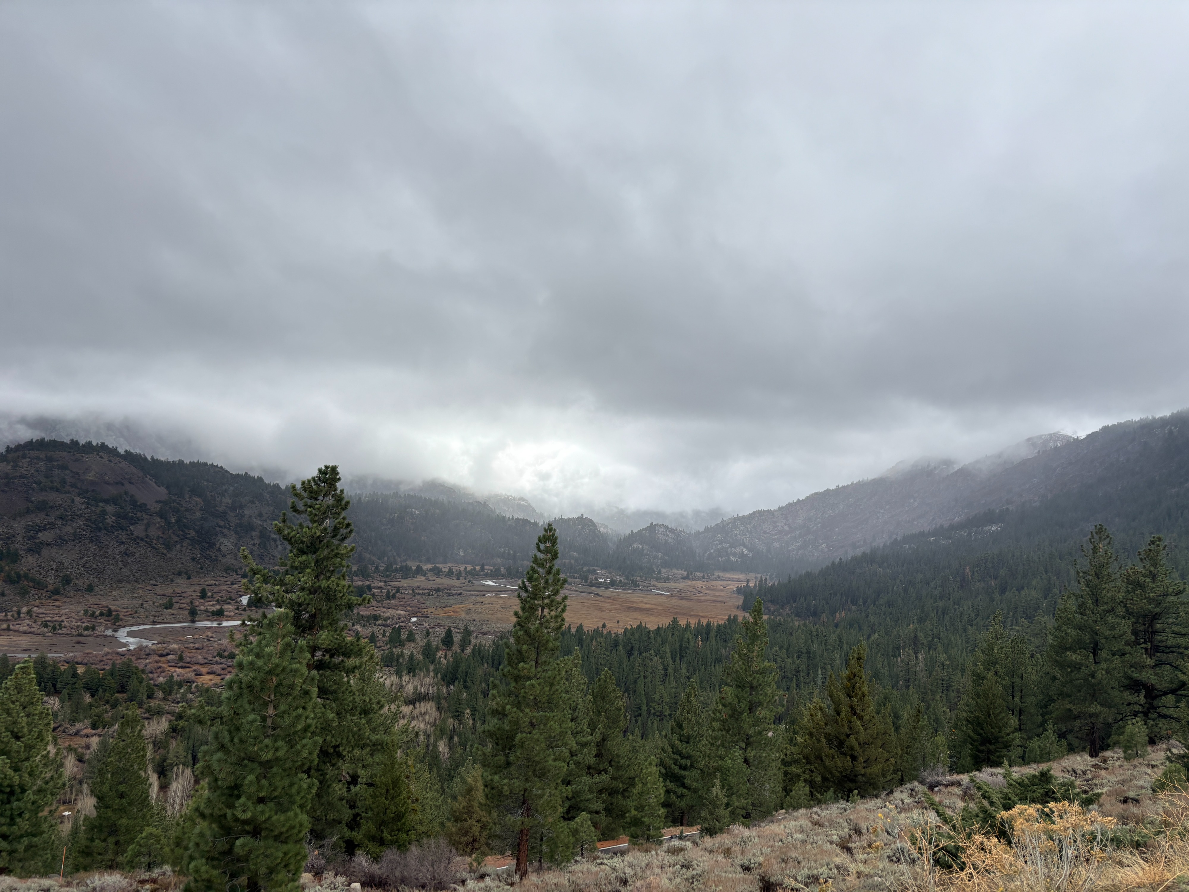
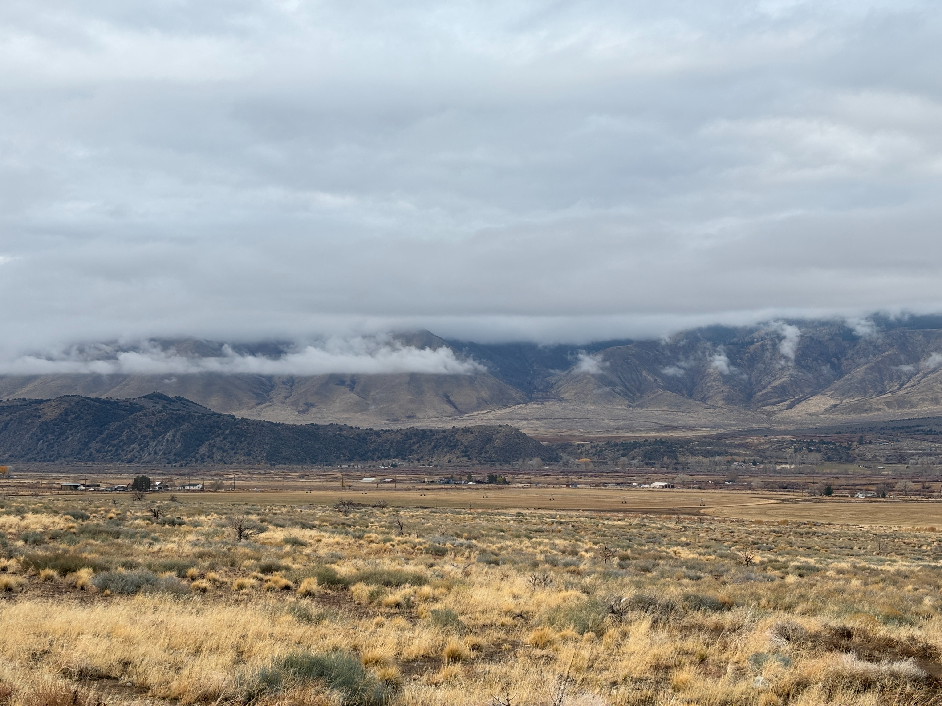
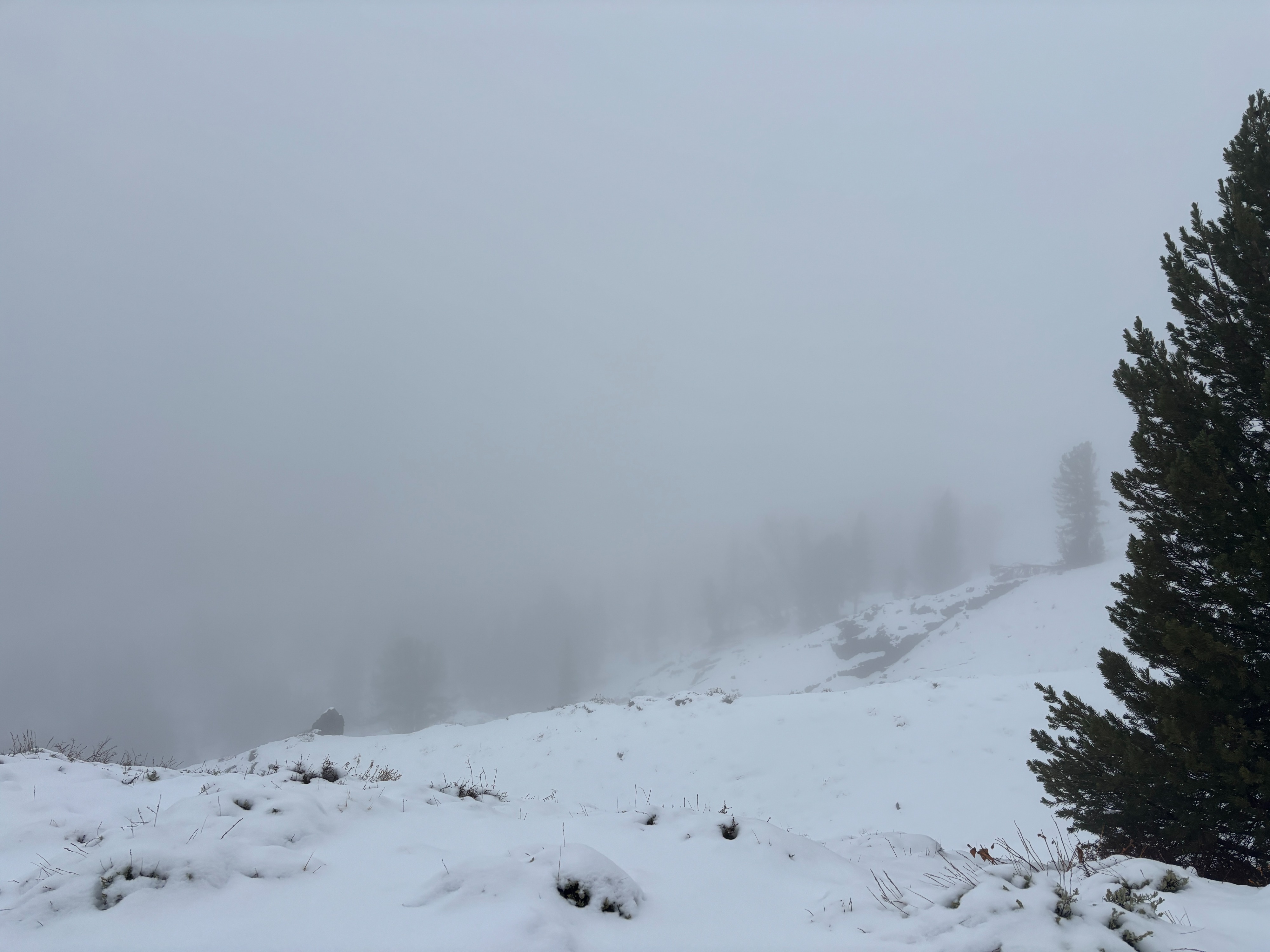
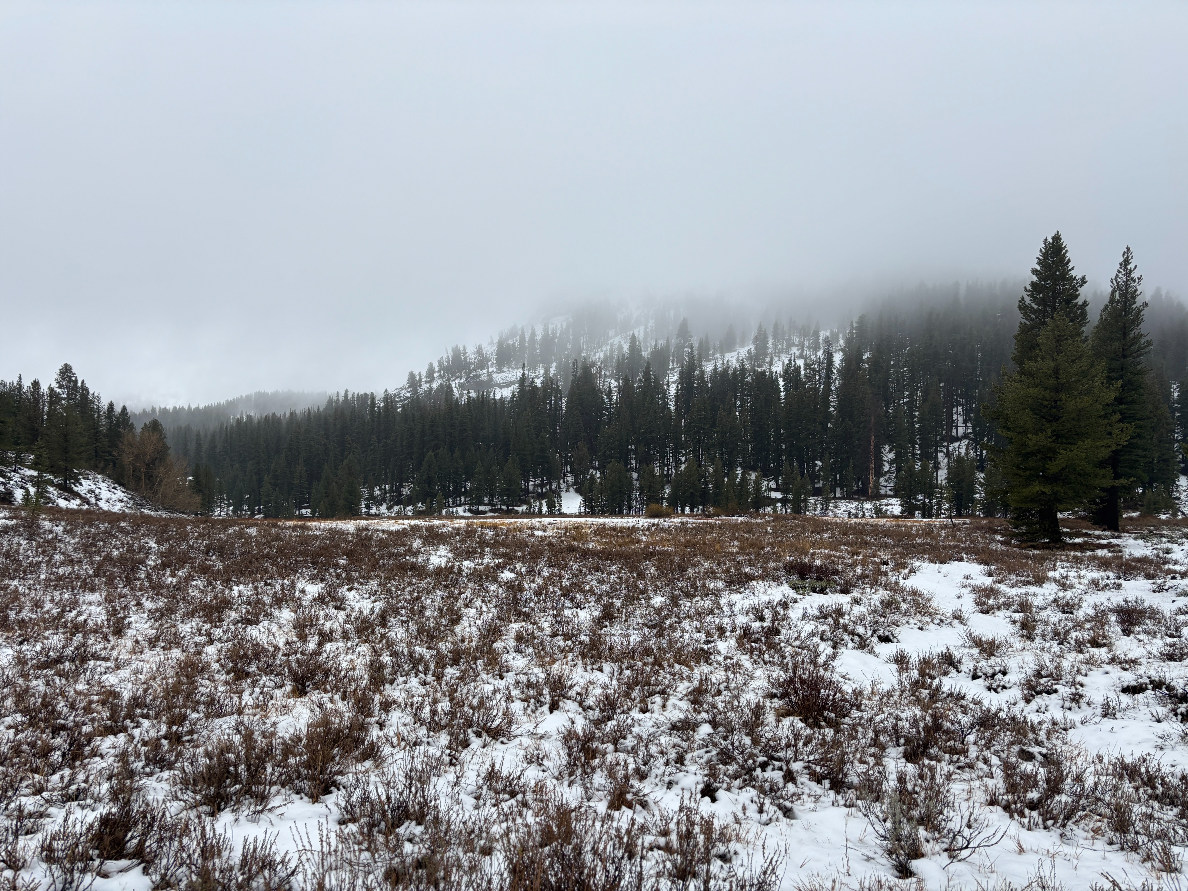
Warm and wet. Low clouds created limited opportunities to see terrain. High of 46F at 9600ft. on and off again rain.
Snowpack
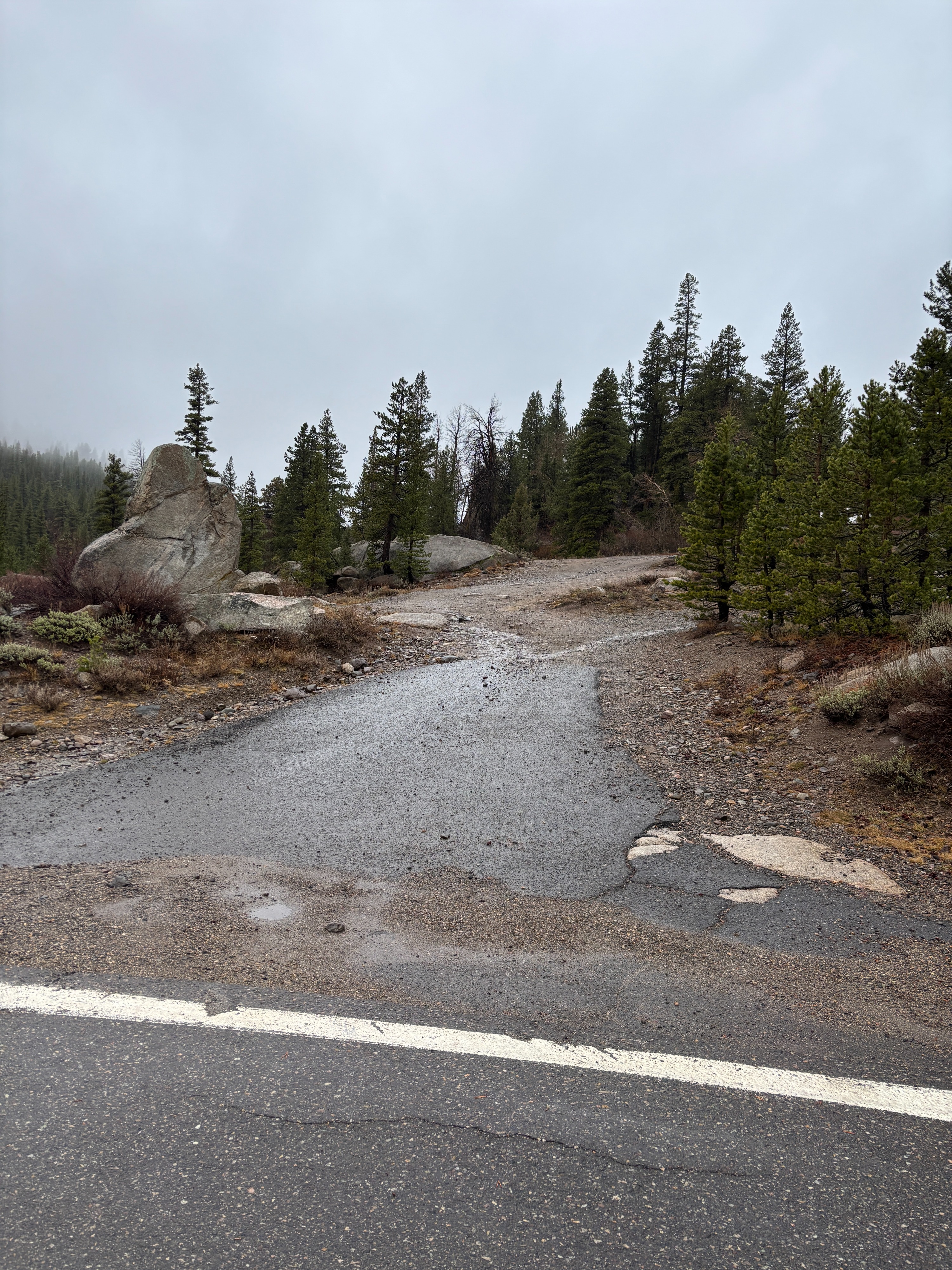
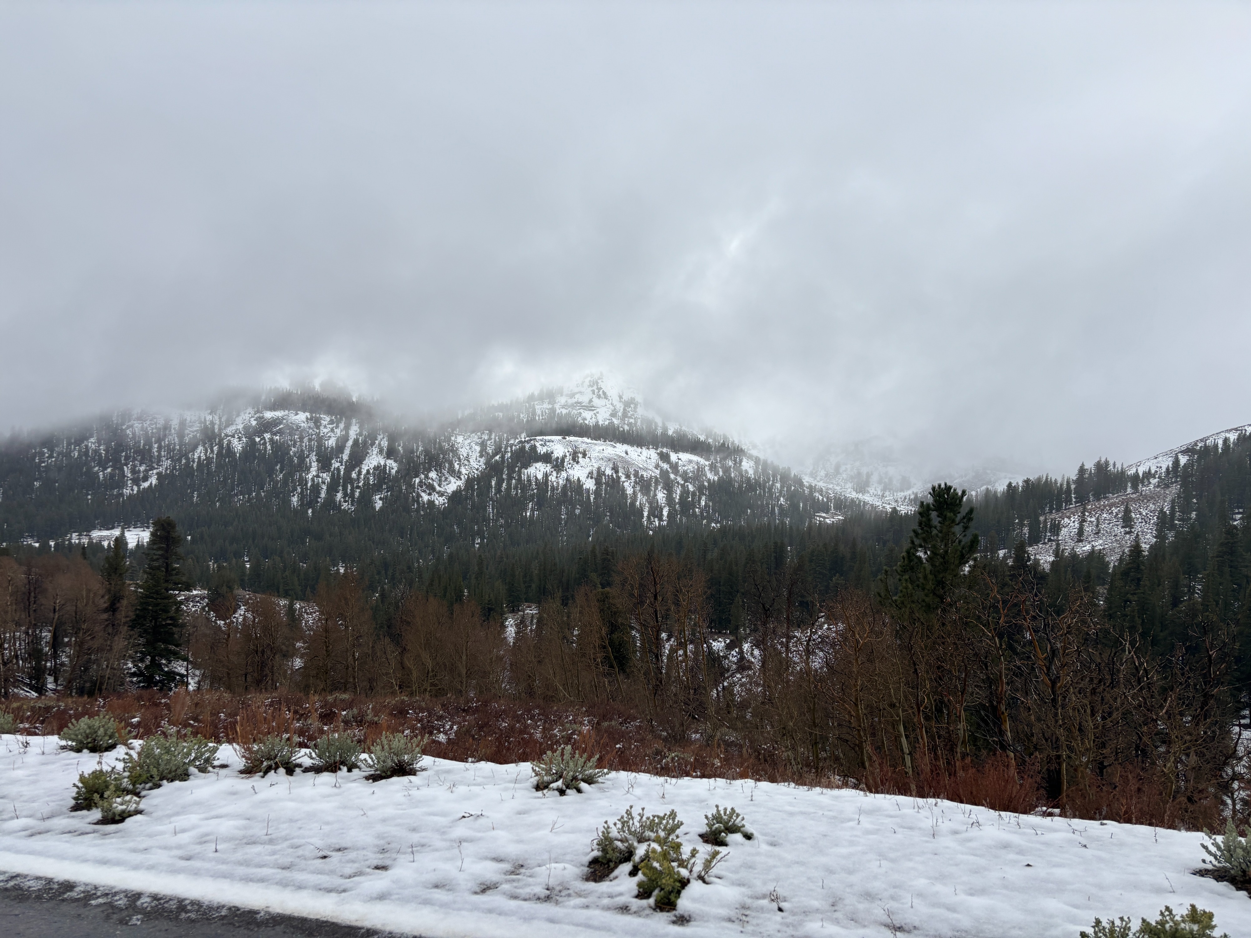
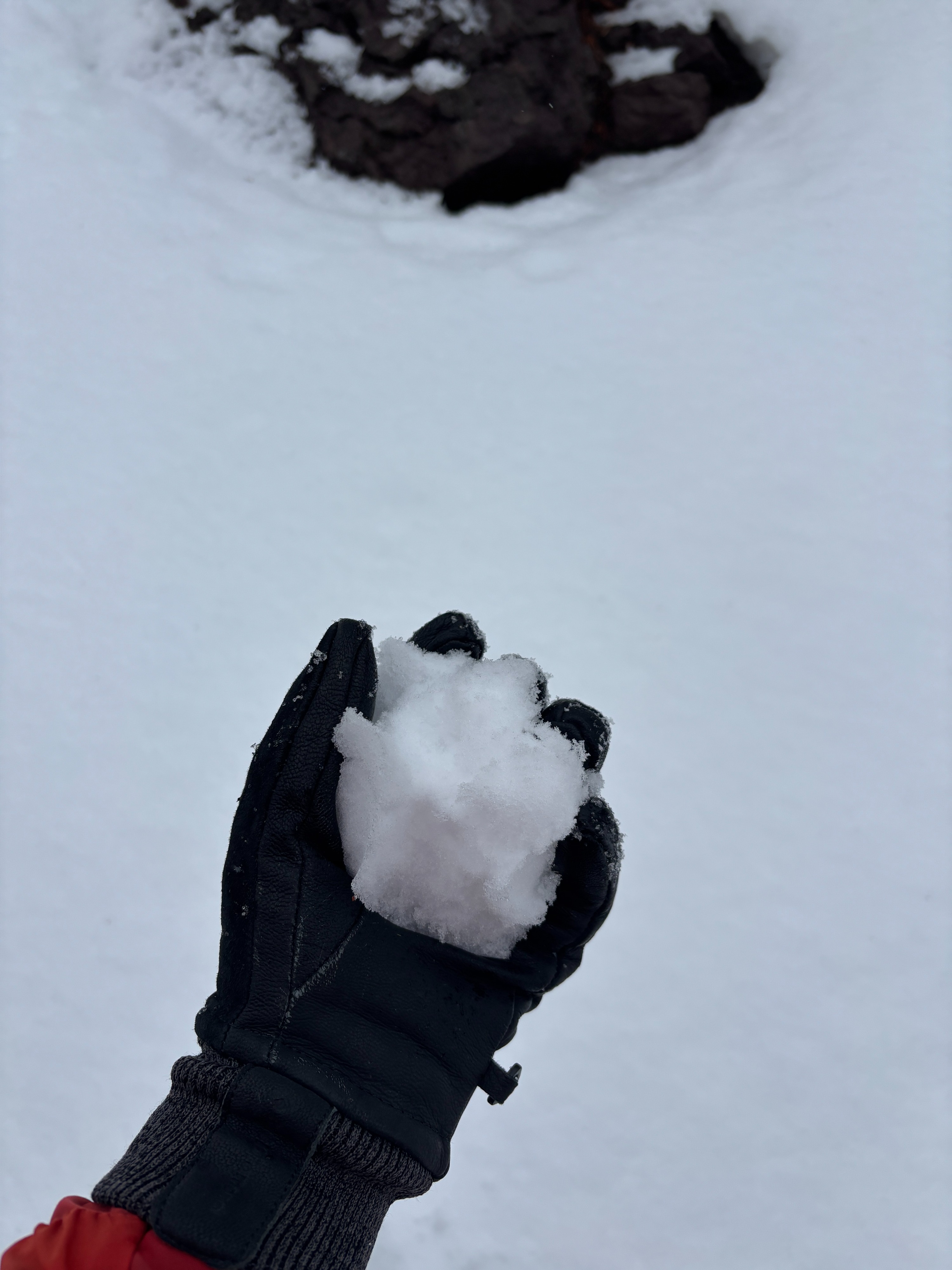
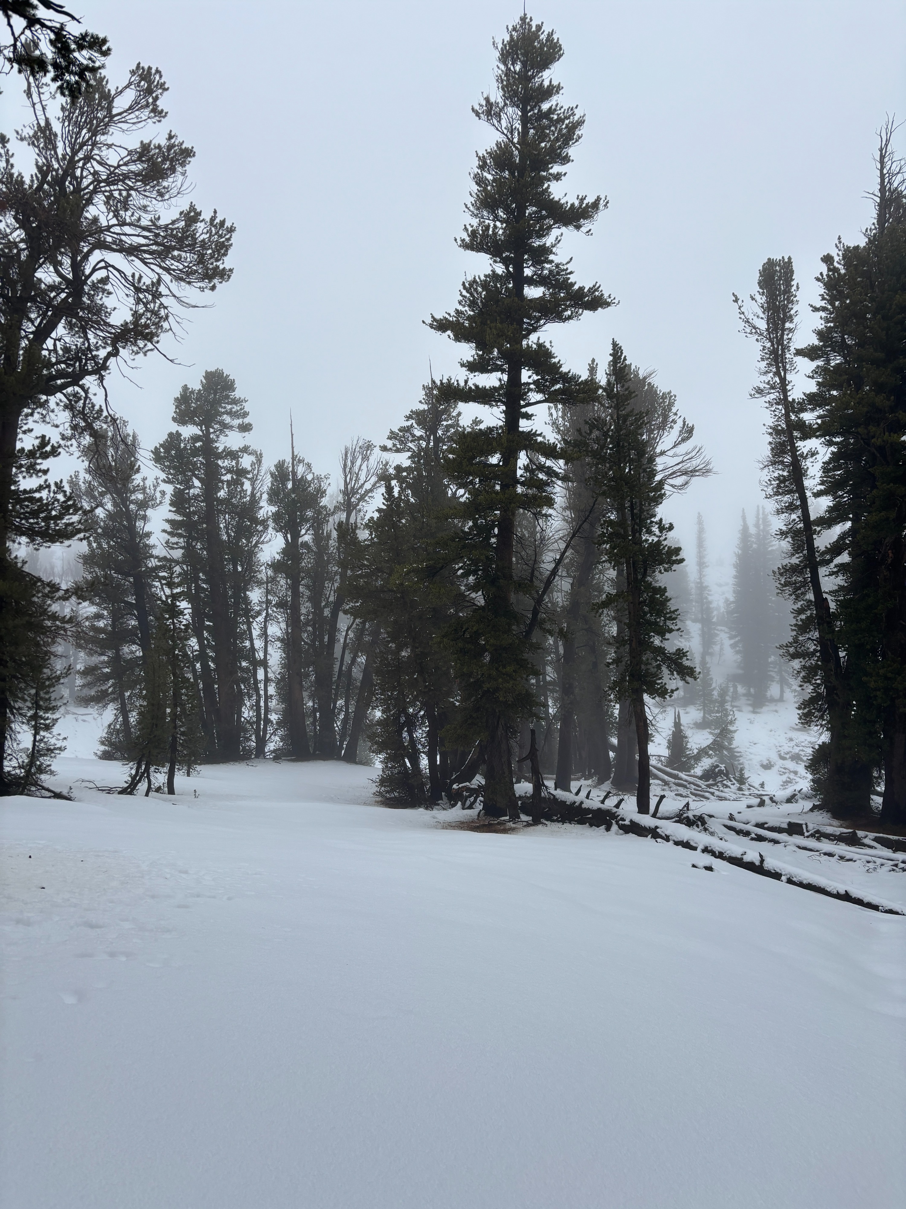
Today was my first day in the field for the season and I chose to walk up Hwy 108 to see the snow line and how much snow the recent storm brought.Looking at SNOTEL data this morning I saw that the Leavitt Lake SNOTEL was already at 32F by 0800. I packed my rain gear and hiking boots, it was the right call. Existing snow on the landscape didn't start until 8,800 feet and the rain/ snow line for today was well above me when I reached my high point of 9,600ft. It was 46F at that elevation. Visibility was limited as the clouds stayed low and it was periodically raining off and on.
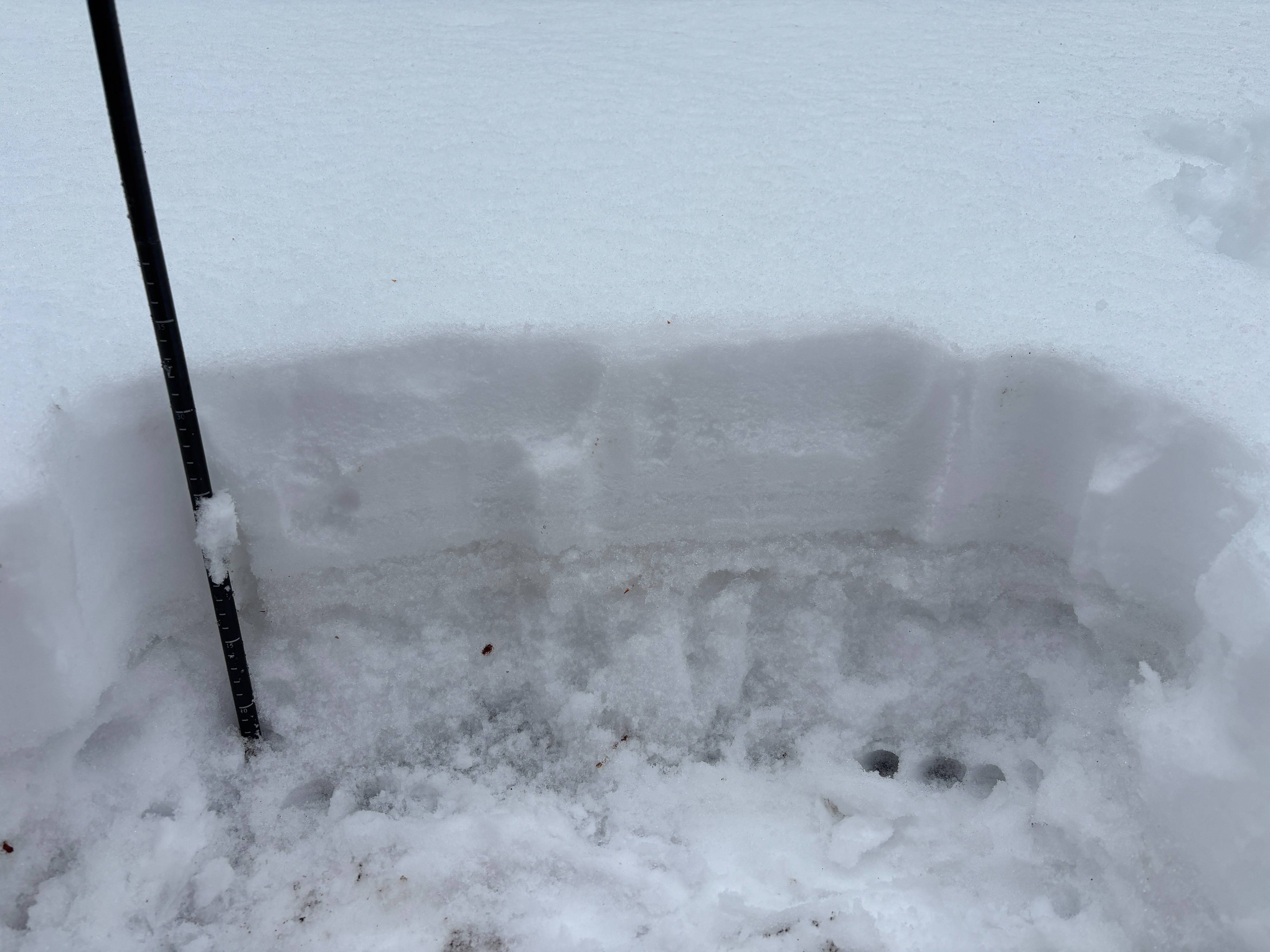
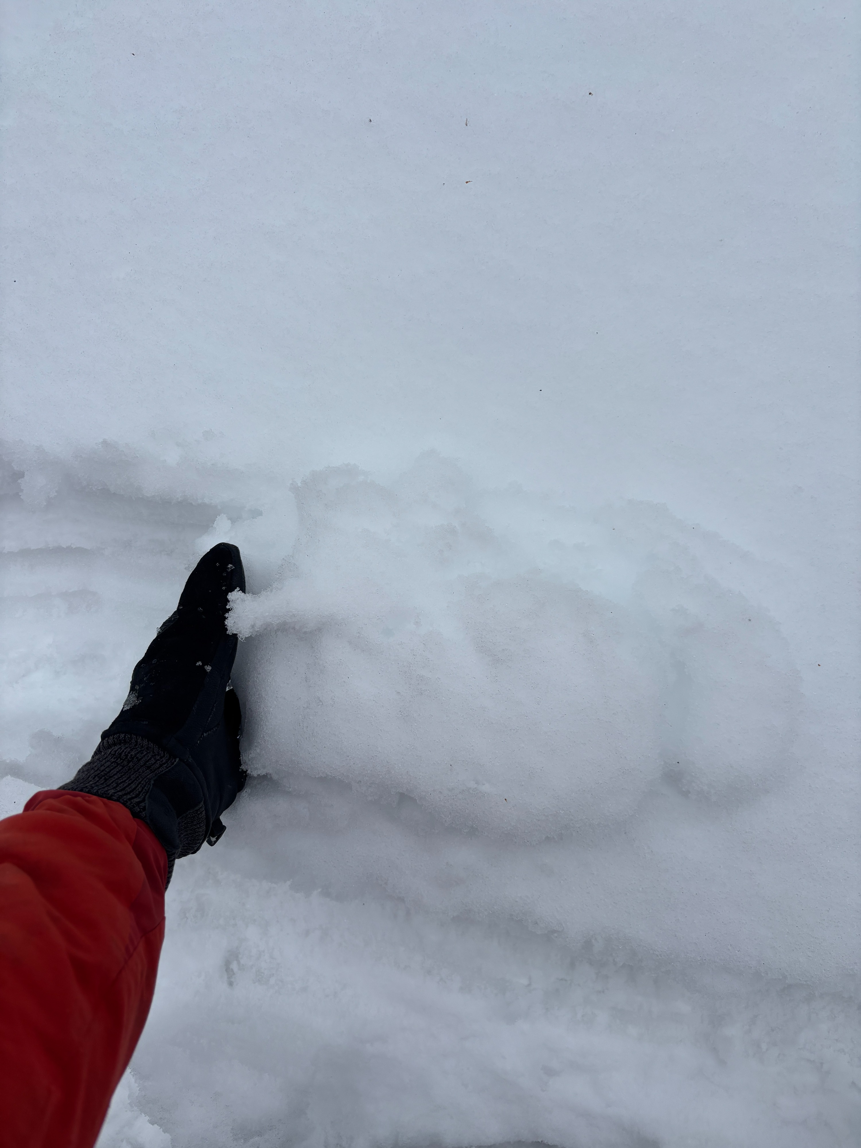
The snowpack was meager. I probed on a N face and wasn't able to find a snow depth greater than 18 inches and saw plenty of bare ground. I did dig in the snow to see how the old snow from earlier storms was affected. There was old faceted snow at the base of the existing snow that had clearly faceted but was not wet and saturated from the recent rain. There was a crust layer present between the few inches of new snow and the old snow. Over all the storm came in warm and wet and did not add much to our early season snowpack. More weather is on the way and we will be sure to be keeping tabs on how the early season snow sets up for the winter to come.