
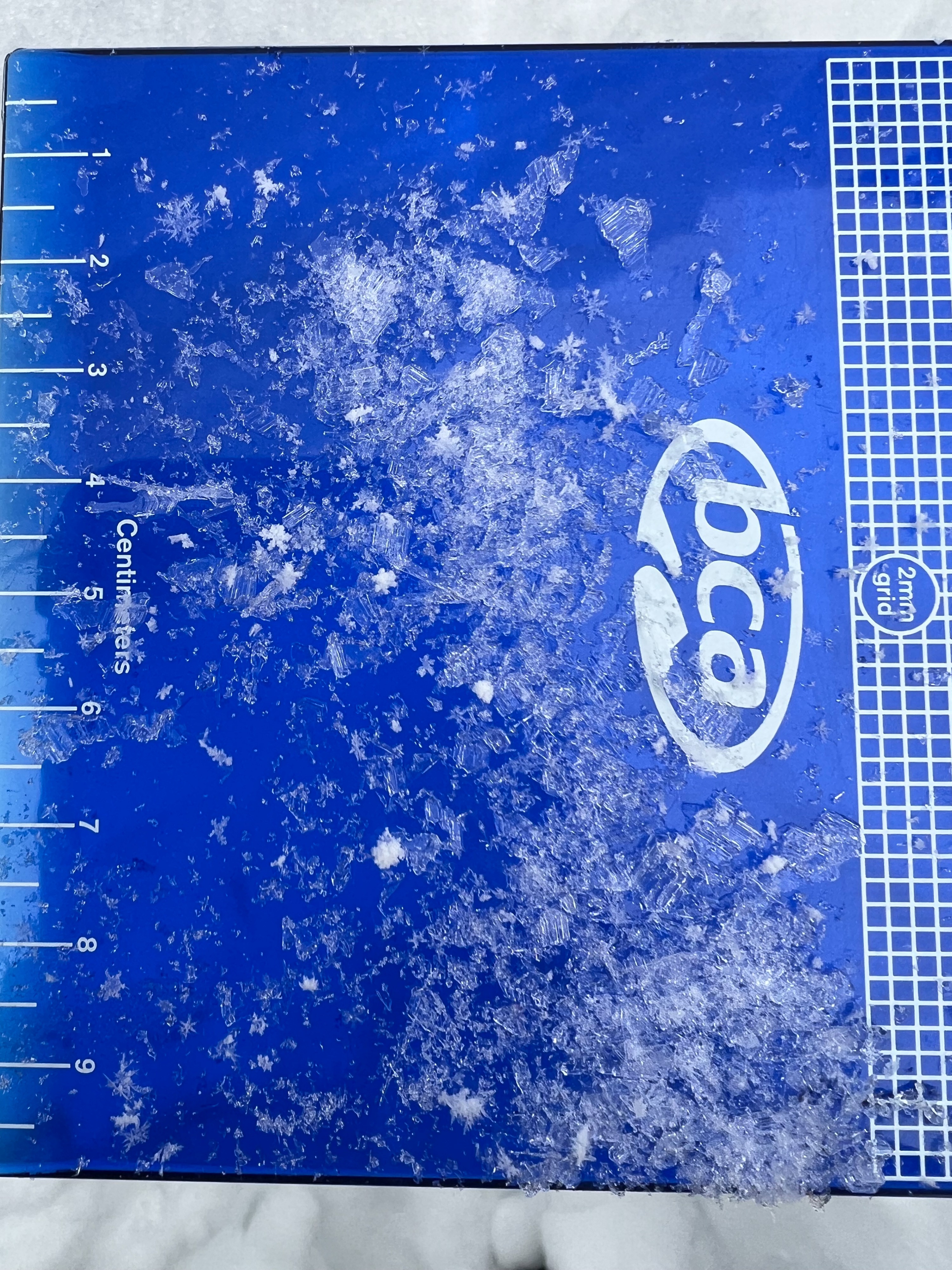
Quick report
Rode from Horse Creek to Gunsight Pass. Significant wind affect observed. New snow depths varied drastically from slopes totally bare to 12" of wind drifted areas above 9000'. Firm, cohesive slab quality in wind drifted snow even in sheltered terrain was beginning to develop. No natural avalanche acitivity. Surprisingly no cracking or collapsing. Consistent W winds of moderate (20 mph) intensity all day actively transporting new snow in upper elevations. Snow began to fall around noon with about .5"/hr. New snow sits on a poor interface with crust/facet combo on southerly aspects and well developed facets on northerly aspect (preserved/buried 5mm surface hoar observed). Continued wind and snowfall with create the right slab quality to see reactive new snow instability on all aspects.
Weather
- Cloud Cover
- overcast
- Wind Loading
- moderate
- Recent Snowfall
- 20
- Snow Avail For Transport
- moderate amounts
Snowpack
Dug two pits to compare SE vs NE aspects at the same elevation. Found propagation on Novemeber drought layer on SE, but not on NE. NE aspect lacked a firm cohesive slab of new snow as well to intiate propagation on the new to old snow interface.
9800' SE aspect ECTP1 down 3" on wind slab density break. ECTP22 down 31" on November drought layer (1-2mm facets). 9800' NE aspect ECTX.