
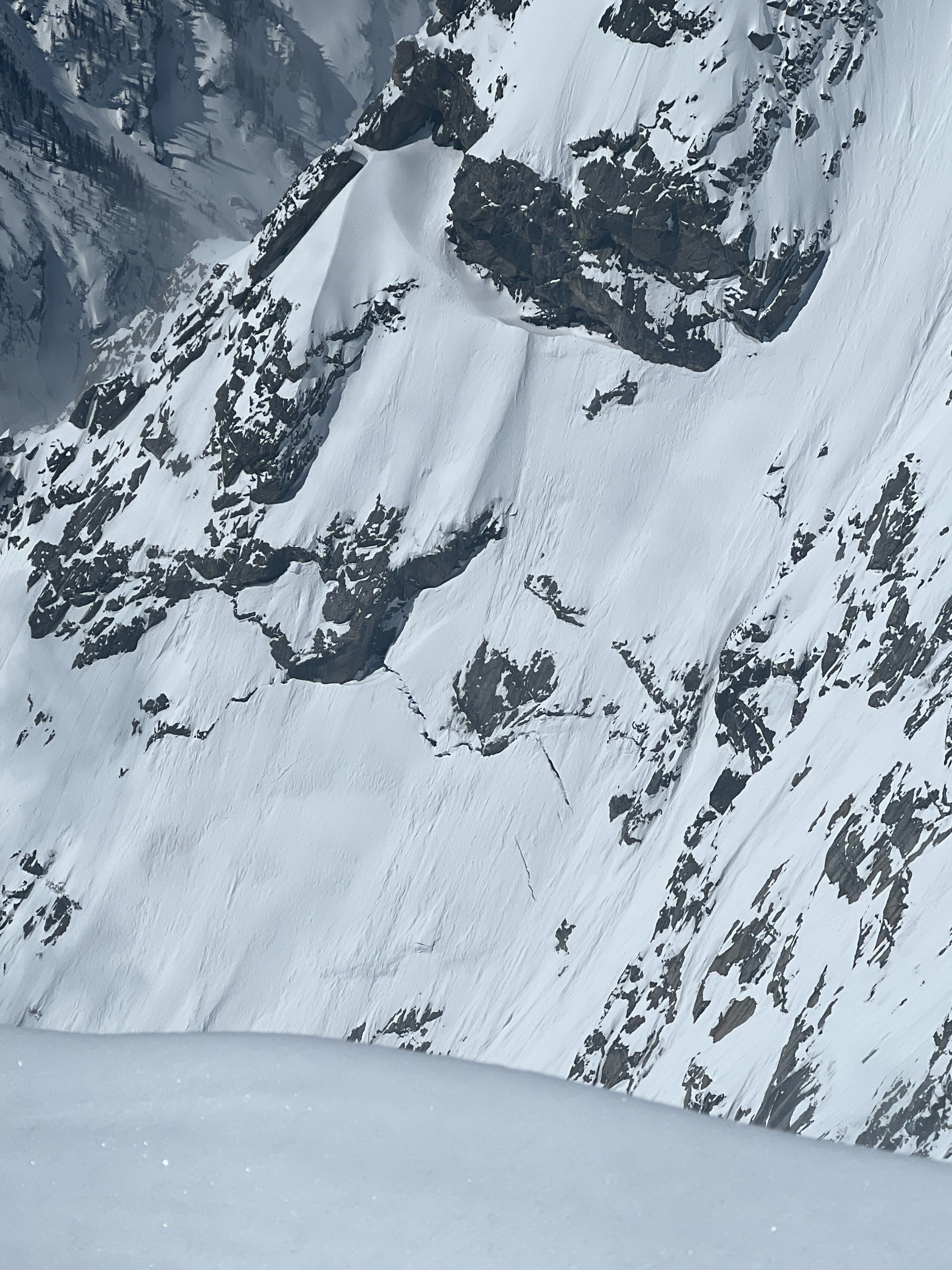
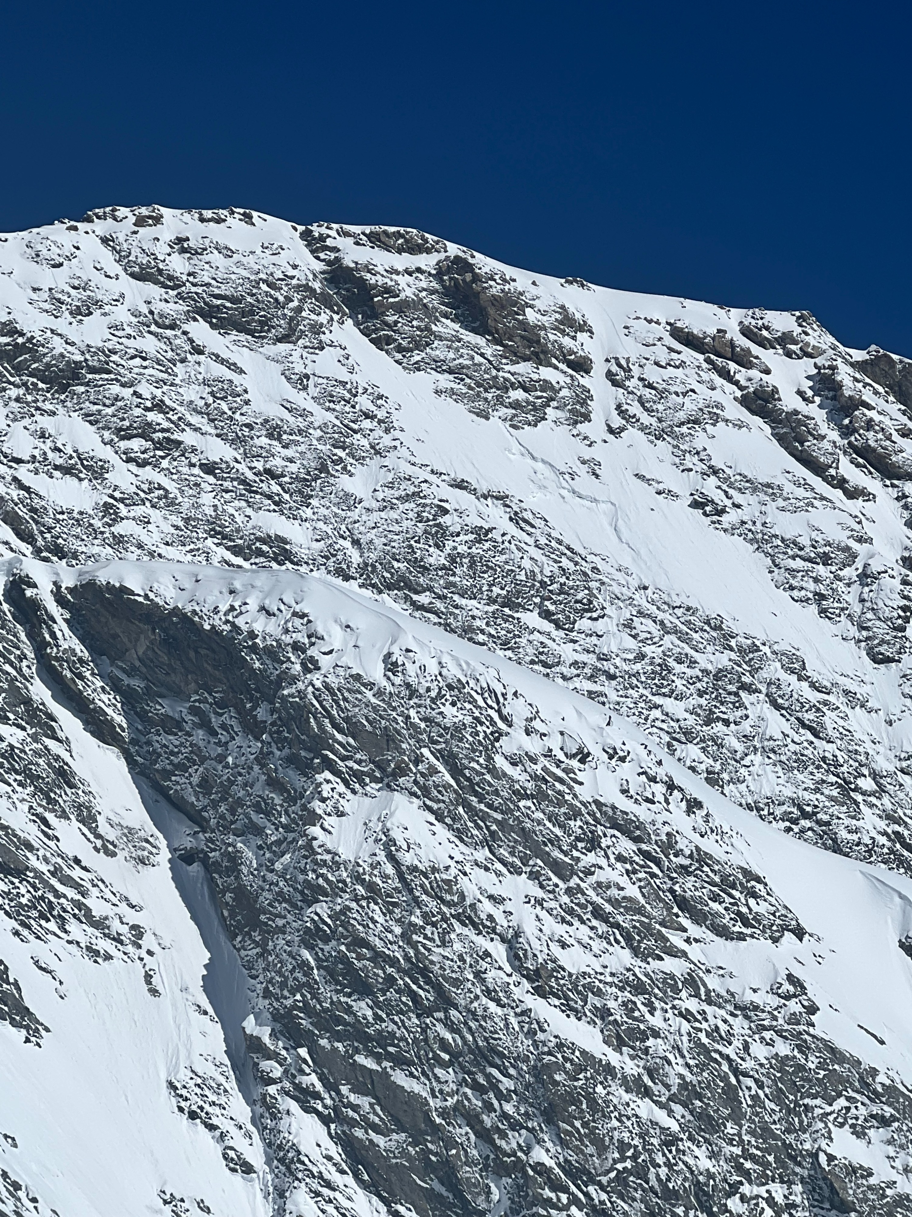
Quick report
New snow amounts yesterday increased drastically with elevation. 1-3" below 8000' and 4-6" between 8-10,000'. Above 10,000' snow totals increased to 10" with wind drifted areas upwards of 16". Didn't find any reactive wind drifts. Not much wind affect seen up to 11,500'. Biggest concern was new snow heating up in the afternoon creating wet loose avalaches. E-S aspects heated up by 10:00-11:00. Wet loose were easy to trigger on steep terrain as new snow was sitting on a stout crust formed prior to snowfall yesterday. These gained momementum on steep terrain due to the poor interface above widespread crusts. Small wind drifts liekly exist on isolated terrain that could remain sensitive on northerly aspects. Warm temperatures will help stabilize wind slabs quickly on E-S-W (especially with another cold night forecasted). Good potential for a melt freeze crust on those aspects below 10,000' (possibly higher). Cold temps in the valley bottoms but warm on any slope facing the sun. Skies were clear for the morning to afternoon before scattered cloud cover developed around 13:00 after departing the mountains.