
Quick report
Our goal today was to travel a variety of slopes to look at the snow surface conditions ahead of this week's storms. We found a strong aspect dependent snowpack that provided scratchy, sometimes icy travel on sunny slopes and soft, smooth snow on northerly aspects. In between was often, well, in between (breakable crust).
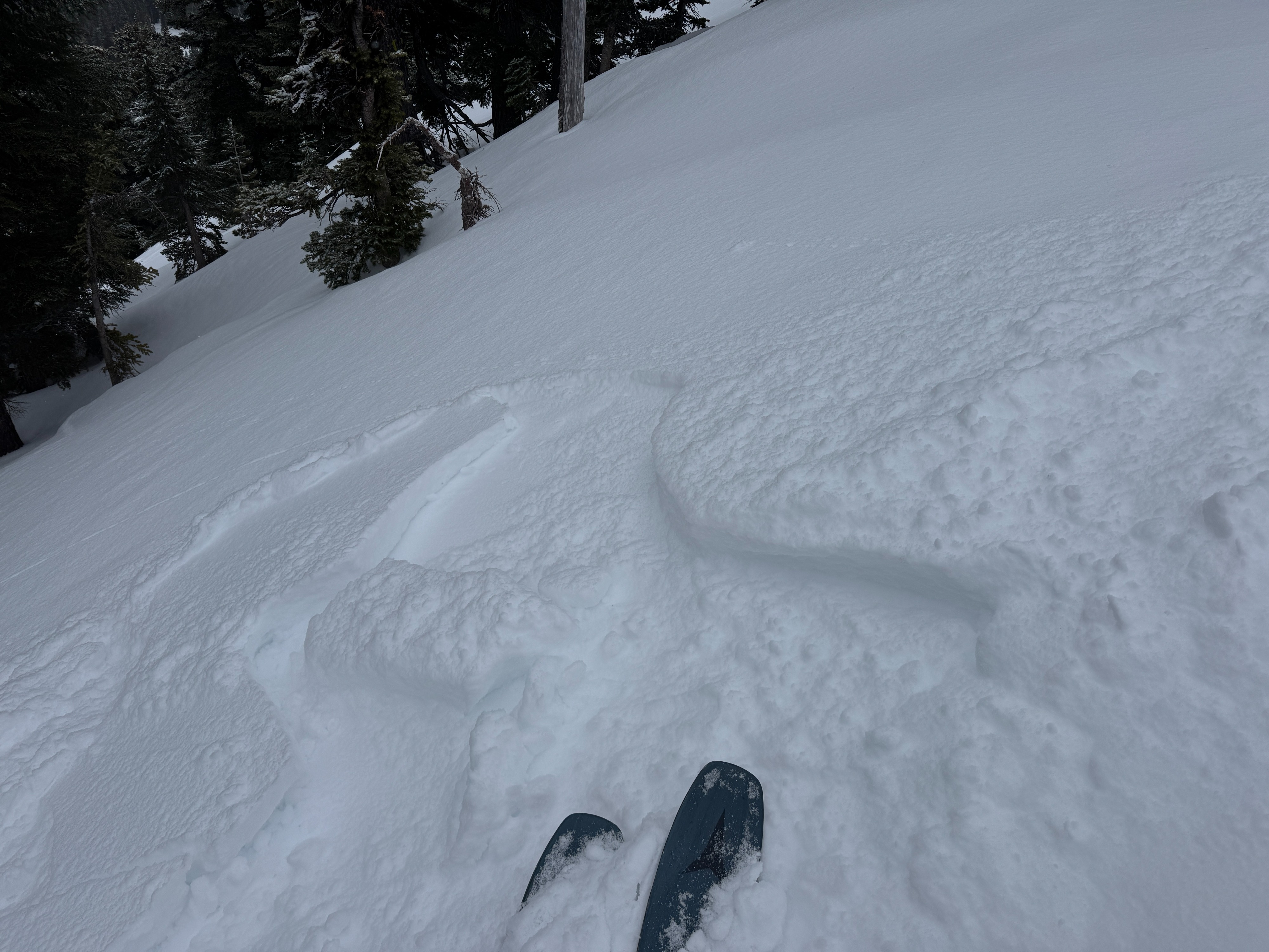
Below last week's 8-10 inches of snow at White Pass, the 3/25 crust was absolutely bomber! It was hard to even get a shovel into it at all. It certainly hurt trying to dig through it. Needless to say, with such a stout crust and only a few inches of soft snow above, we didn't see much in the way of avalanche issues other than some small sluffs and a teeny tiny wind slab.
No cracking or collapsingWeather
- Cloud Cover
- overcast
- Wind Loading
- light
- Rain Elevation
- 5000
- Recent Snowfall
- 2
- Snow Avail For Transport
- small smounts
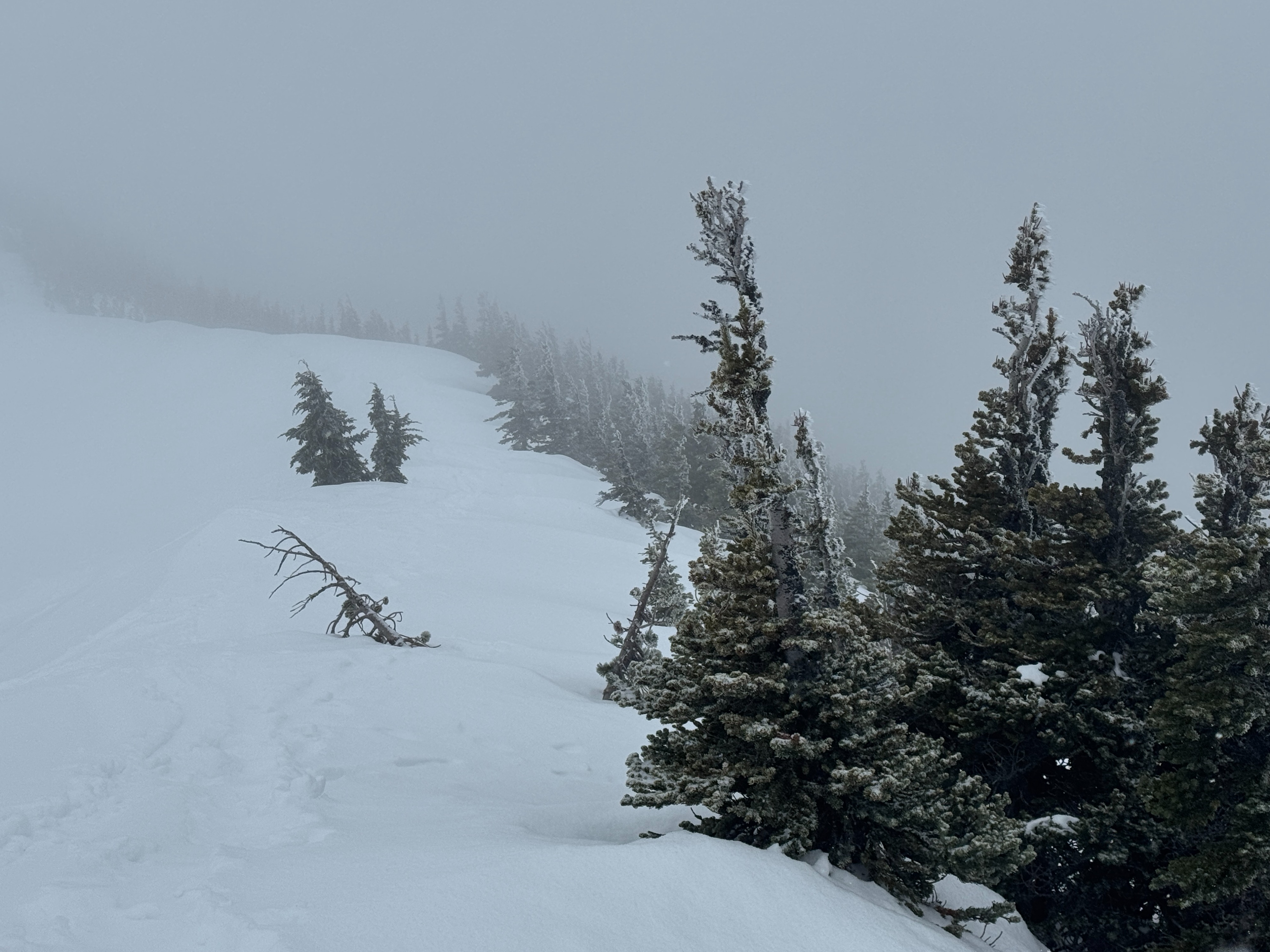
Overcast to obscured skies, with nearly constant very light snowfall. Occasional heavier showers. Winds were picking up around noon, just before we left the mountains.
Snowpack
The snowpack varied by aspect. Here's the overall general trend.
- Southerly: Last week's snow underwent several melt-freeze cycles and was nearly incorporated into the 3/25 crust. The surface was very firm and occasionally icy.
- Northerly: 6-8 inches of soft dry snow was common over the 3/25 crust. The new snow as generally well settled powder, but showed signs of faceting in areas where the wind has made it thinner.
- East/West: The more sun, the thicker the crust; the more shade, the thinner and less noticeable the crust. This upper breakable curst (3/29) capped last week's snow, which all sat over the bomber 3/25 crust.
- Wind: Recent winds had largely stripped the snow along ridgelines down to an icy irregular surface no matter the aspect.
White Pass recieved around 8-10 inches of snow last week. This all accumulated on the 3/25 crust. Everywhere we looked, this layer was extremely stout and nearly impenetrable. Probe measurements found it to be 25-40cm thick.
Avalanche
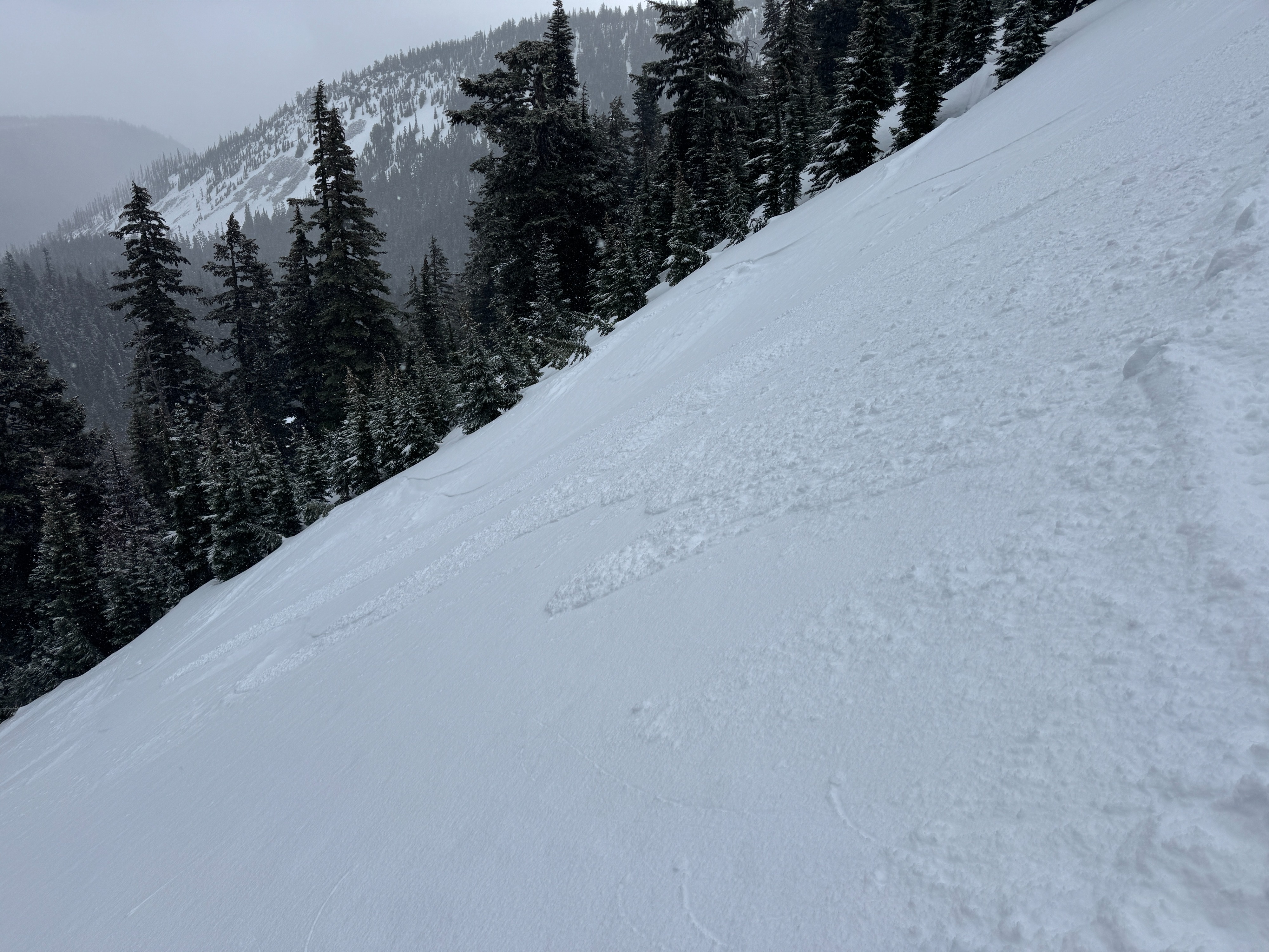
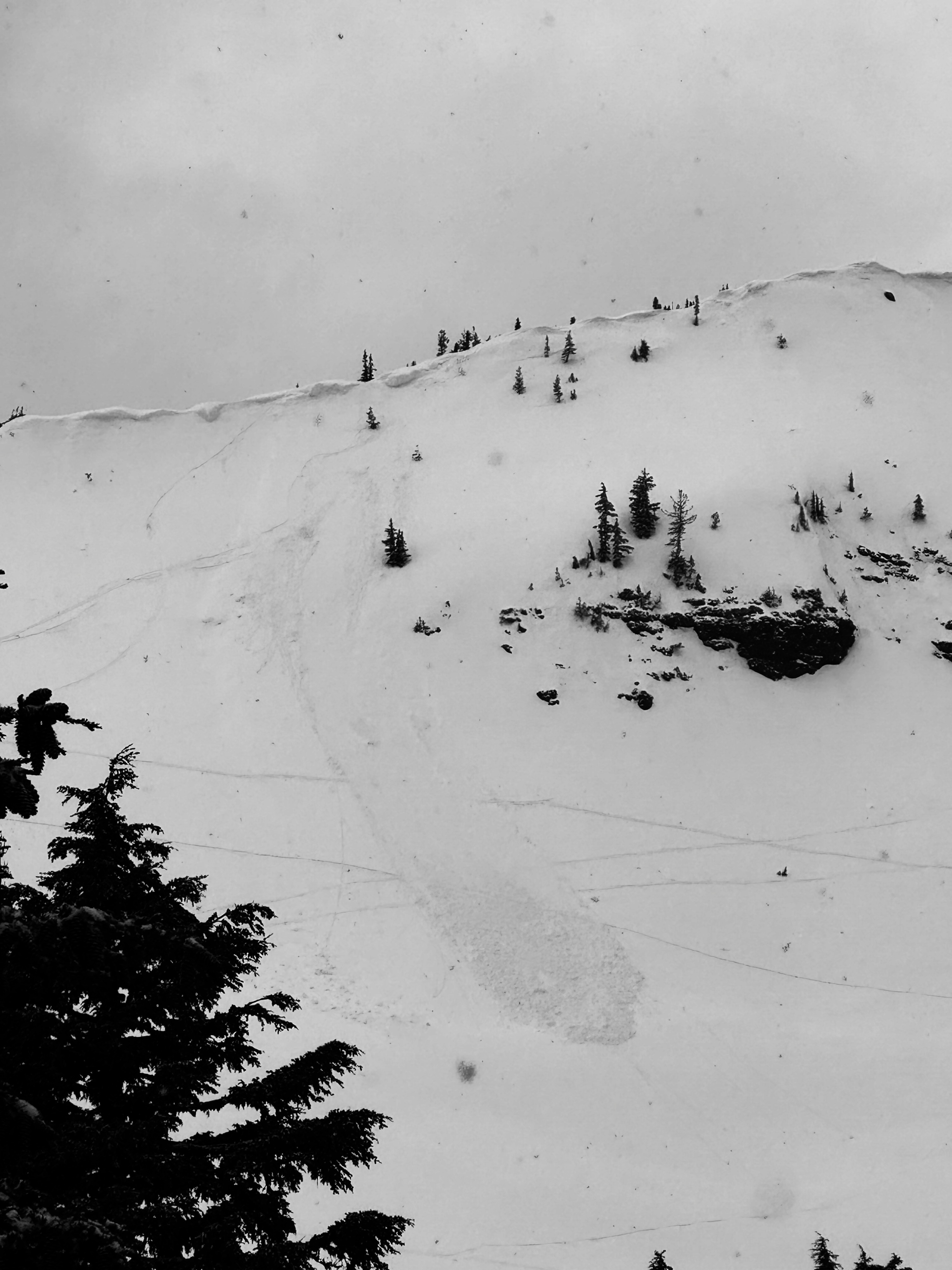
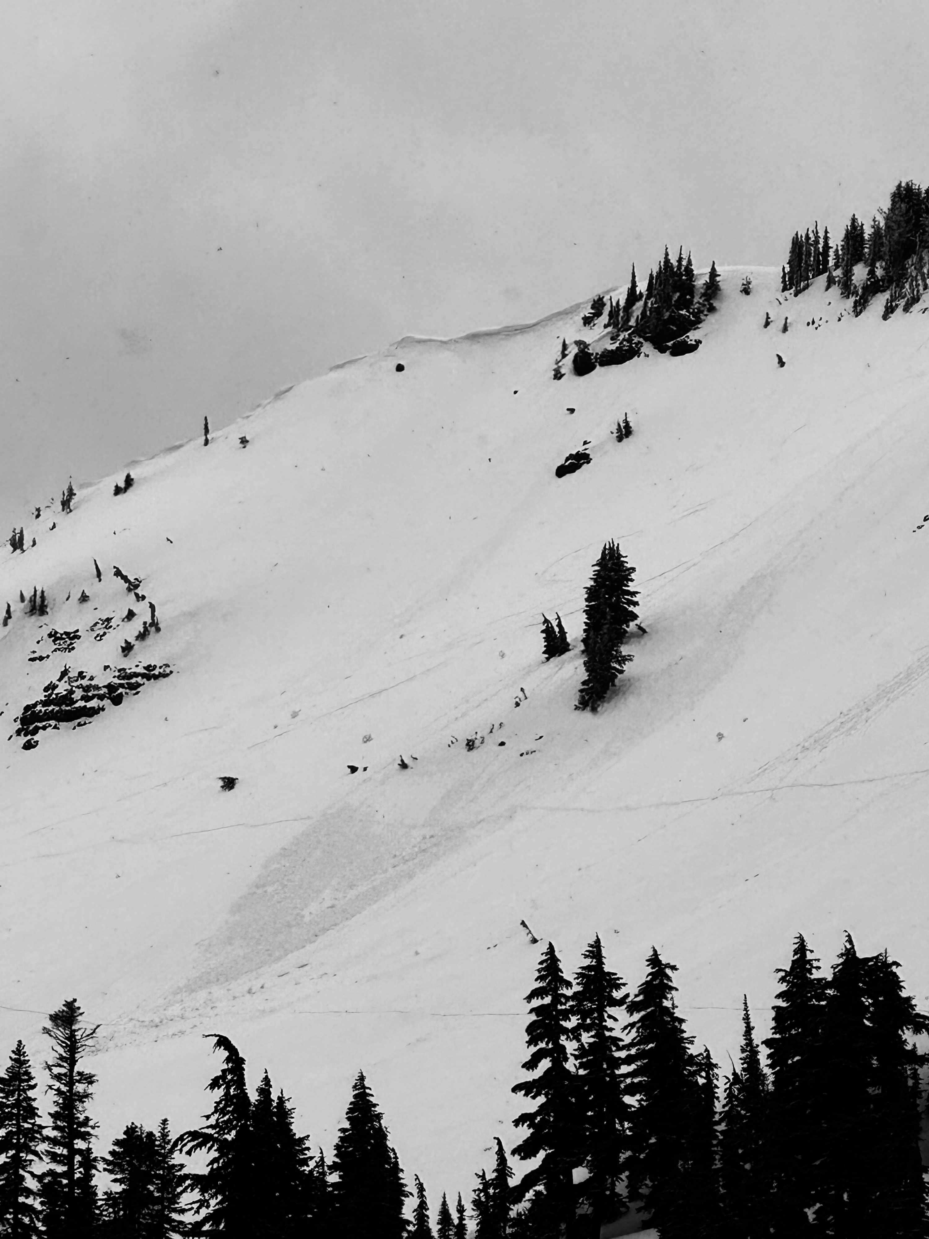
Recent wet avalanche: There were two recent wet avalanches from the past few days. They both occurred on E aspects around 6700ft. Vizibilty was poor but they may have been human or cornice triggered. Older piles of wet avalanche debris was also visible on the slope. Wind Slab: I triggered one tiny micro wind slab. Its hard to call it an avalanche. It was only 4 inches deep and about 4-6 feet wid. Loose Dry: Small loose dry avalanches were common in terrain over 35 degrees. While they weren't very big, they ran far downhill.