
Quick report
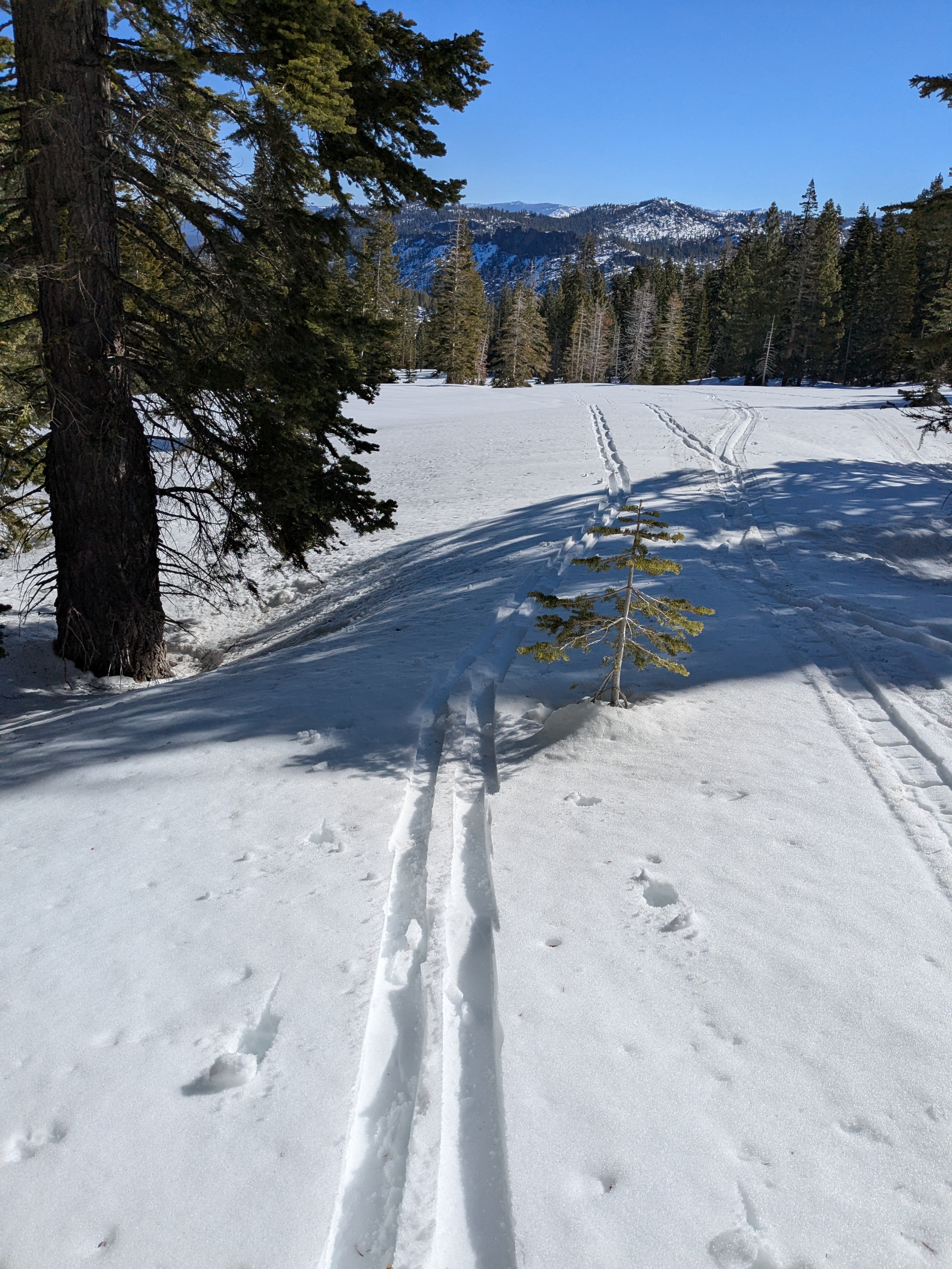
We toured up the East Ridge down the and East Bowl of Silver Peak this morning. Our 6,000' starting point on Hwy 89 was below the air temp inversion layer and had experienced a strong overnight snow surface refreeze. By the time we ascended to 6,300', we started to get above the air temp inversion layer and the snow surface refreeze was 4 inches of 1 F hard crust on open slopes, but little to no snow surface refreeze under forest canopy. This is consistent with above freezing overnight air temperatures under clear skies and a snow surface refreeze driven entirely by radiational cooling. By 10 am, the snow surface refreeze on open slopes was melting very quickly and loosing supportability.
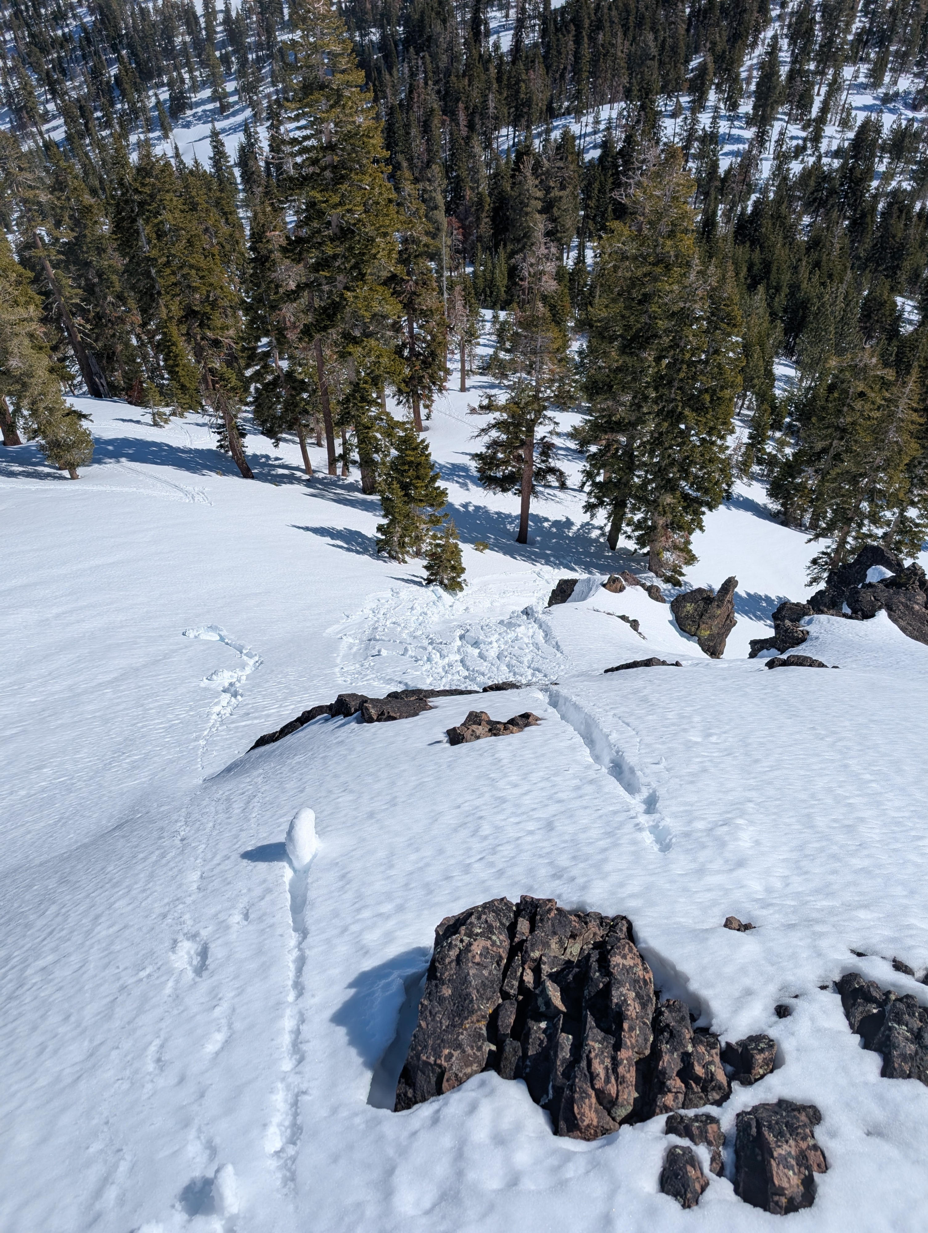
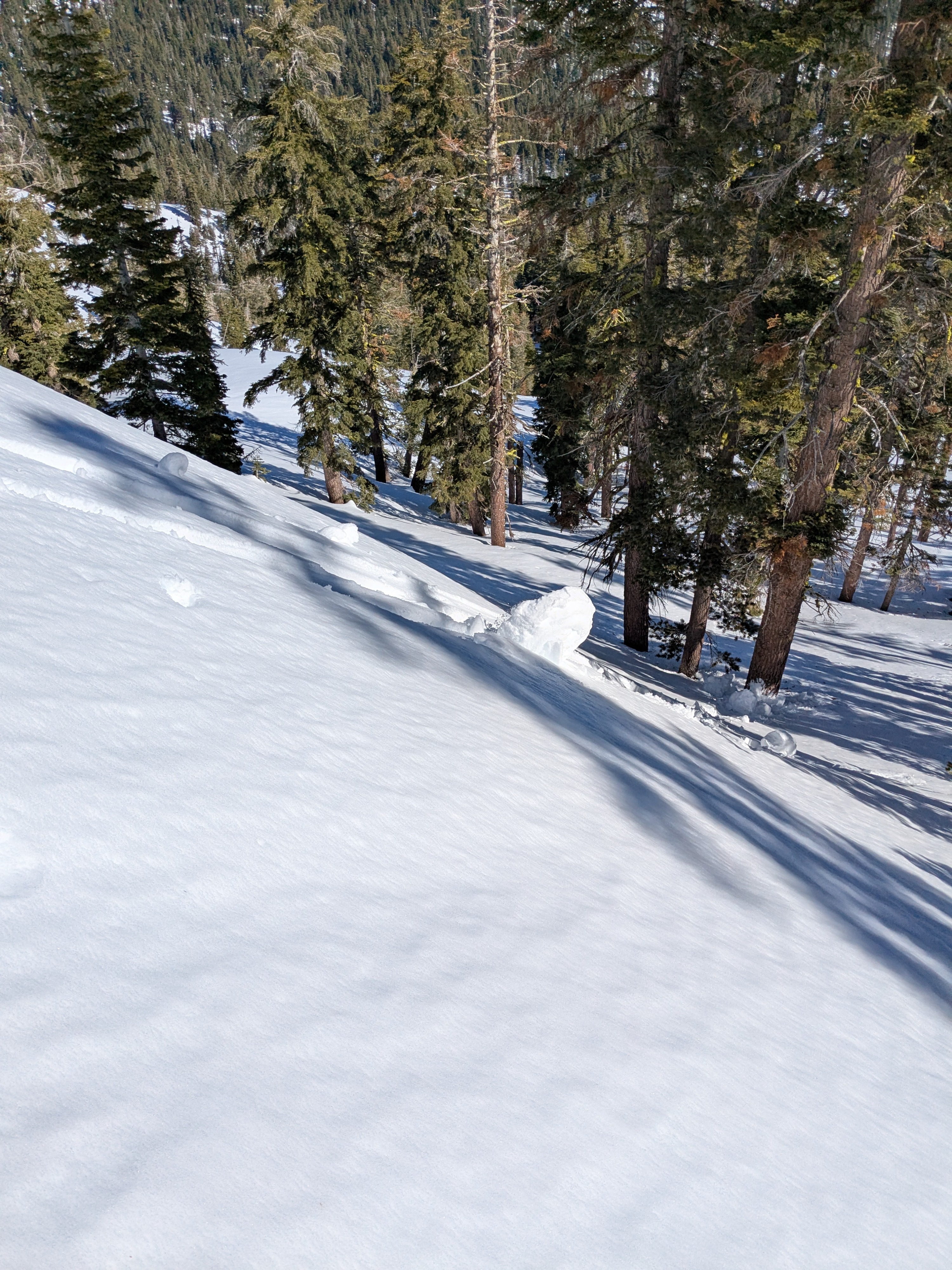
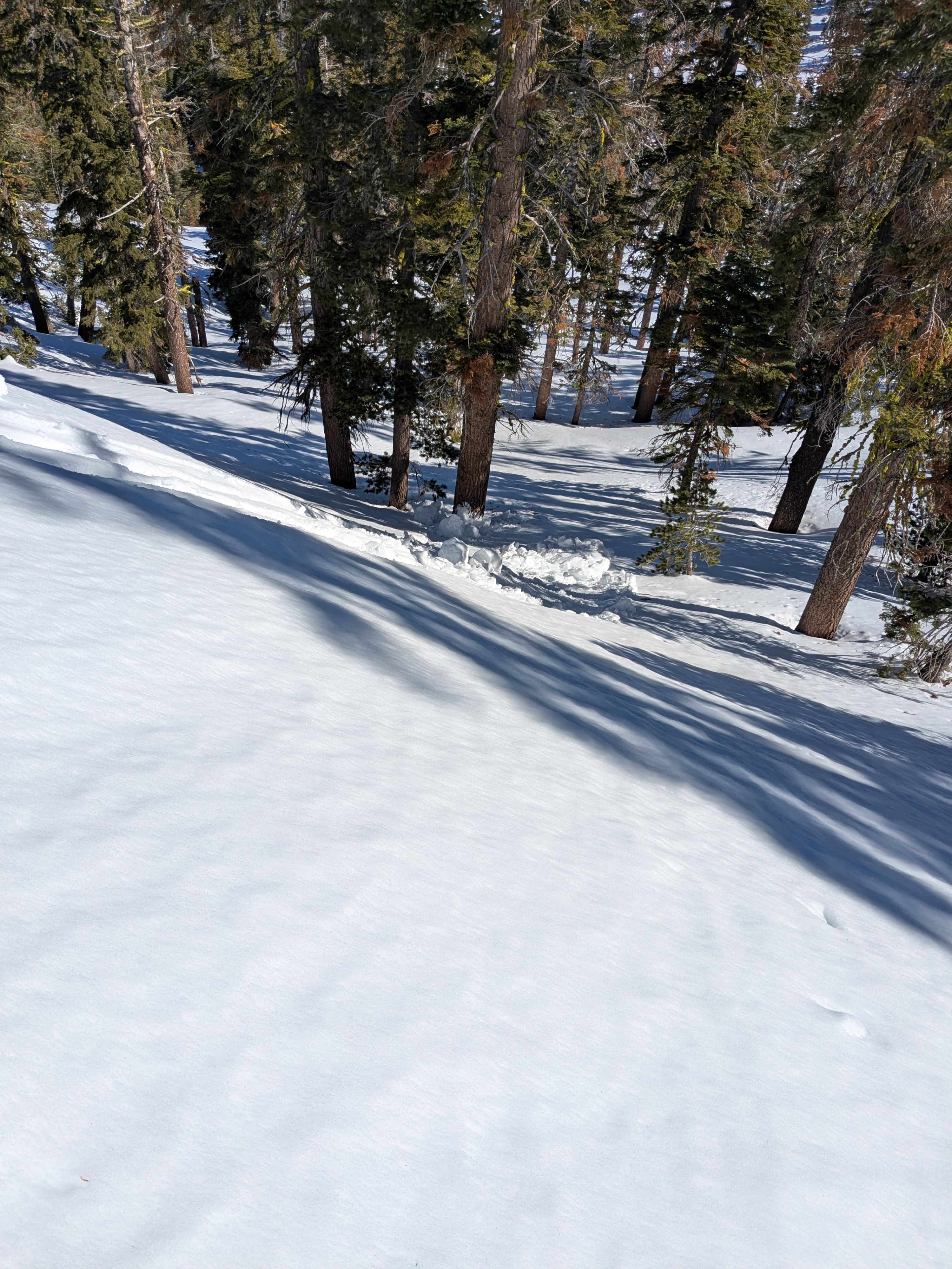
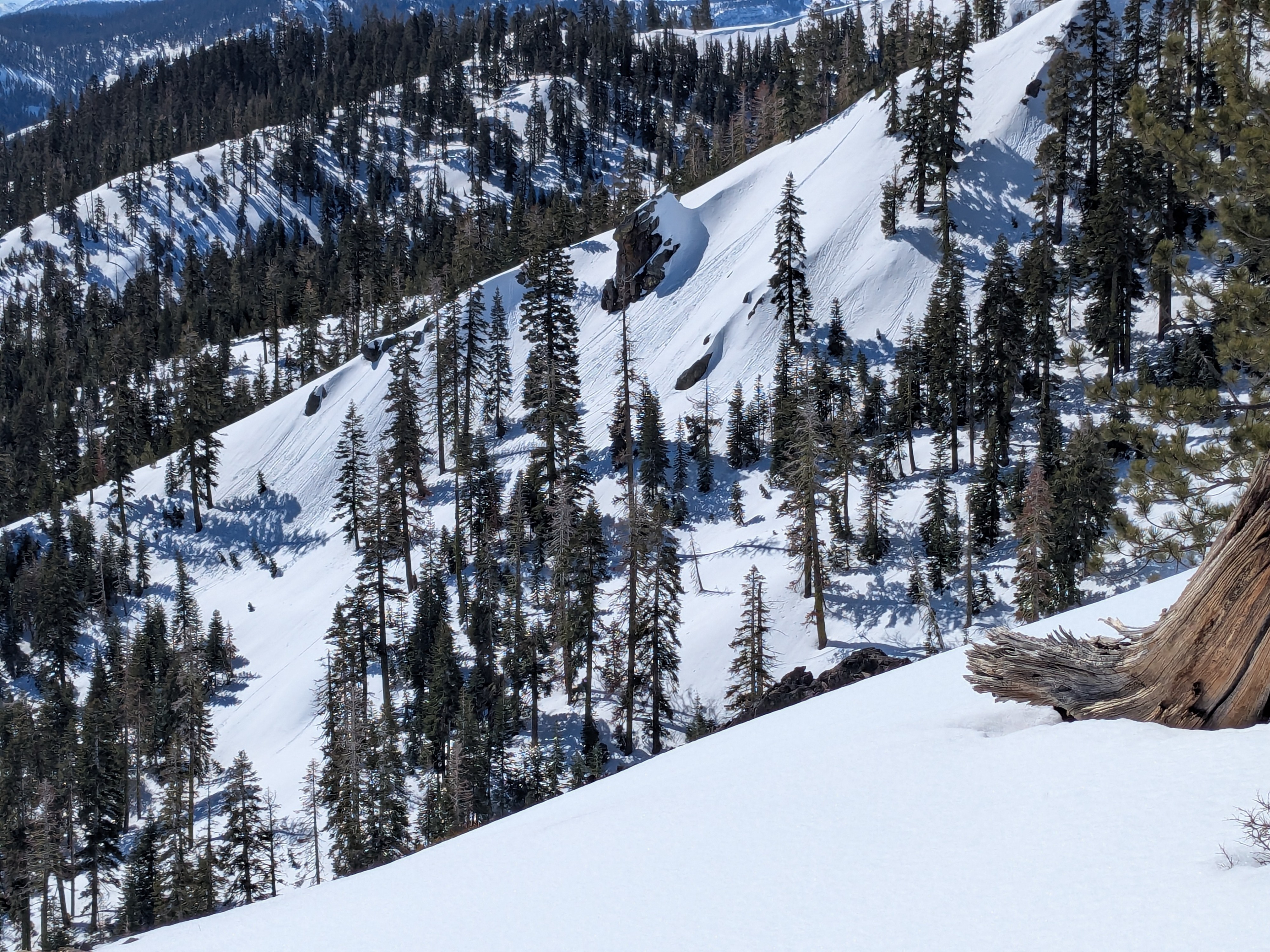
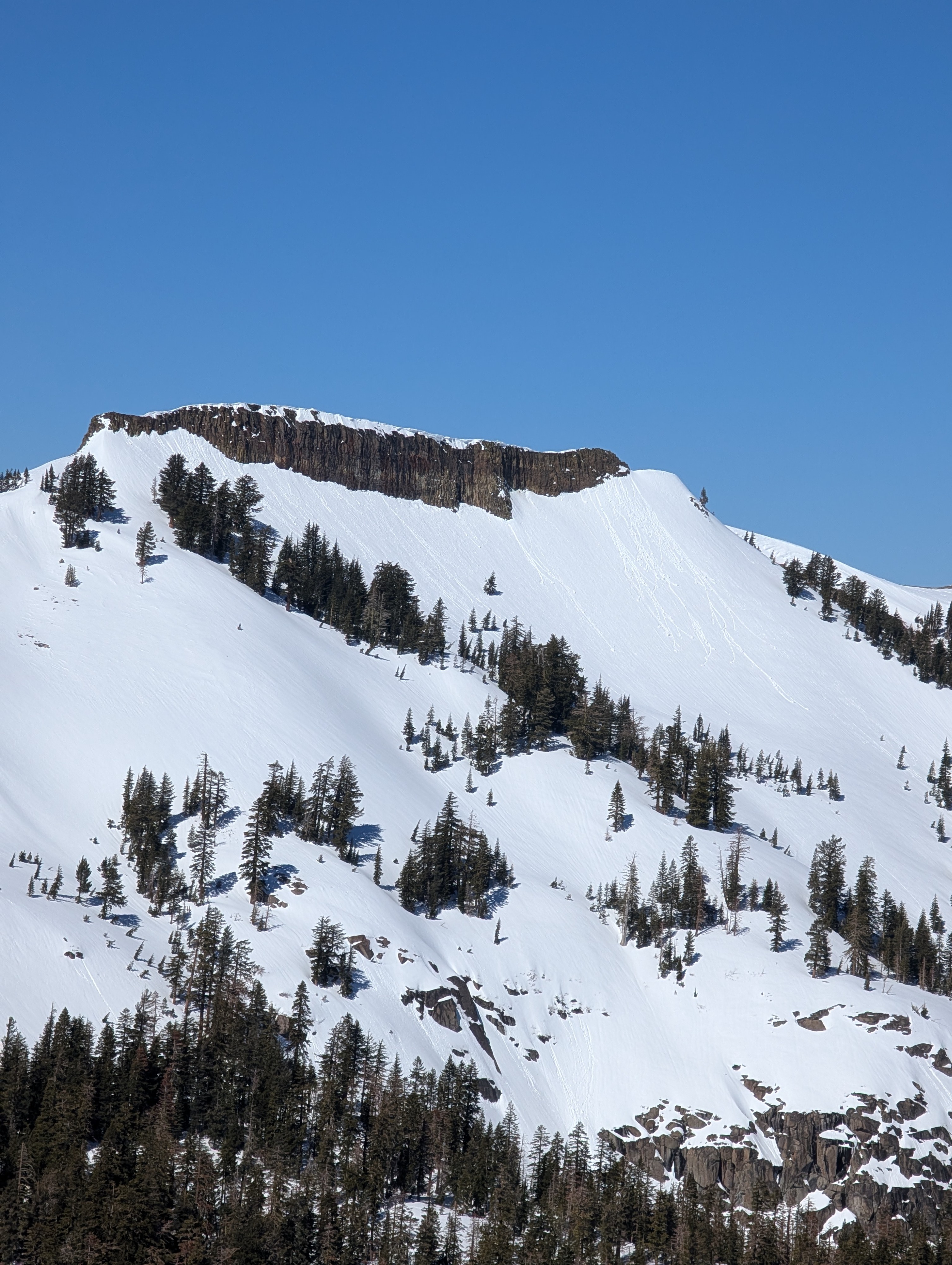
During our ascent, we were able to easily trigger large pinwheels and small wet loose avalanches (sluffs) in several areas by throwing snowballs onto test slopes on NE-E-SE aspect terrain.
Descending into the E Bowl at 11 am, The remaining snow surface refreeze was gone once we got a few turns below the summit saddle. Ski conditions were deep wet snow that became increasingly less supportable as we descended from 8,300' to 7,300'. Our descent line allowed us to avoided sections of slope steep enough to trigger wet loose avalanches and we were able to minimize our overhead hazard exposure to steeper terrain, so conditions weren’t a problem.
Easy to trigger size D1 wet loose avalanches across the NE-E -SE aspect terrain that we traveled.Weather
- Air Temp
- 50
- Cloud Cover
- clear
- Snow Avail For Transport
- none
Calm to light winds with well above freezing air temperatures.