
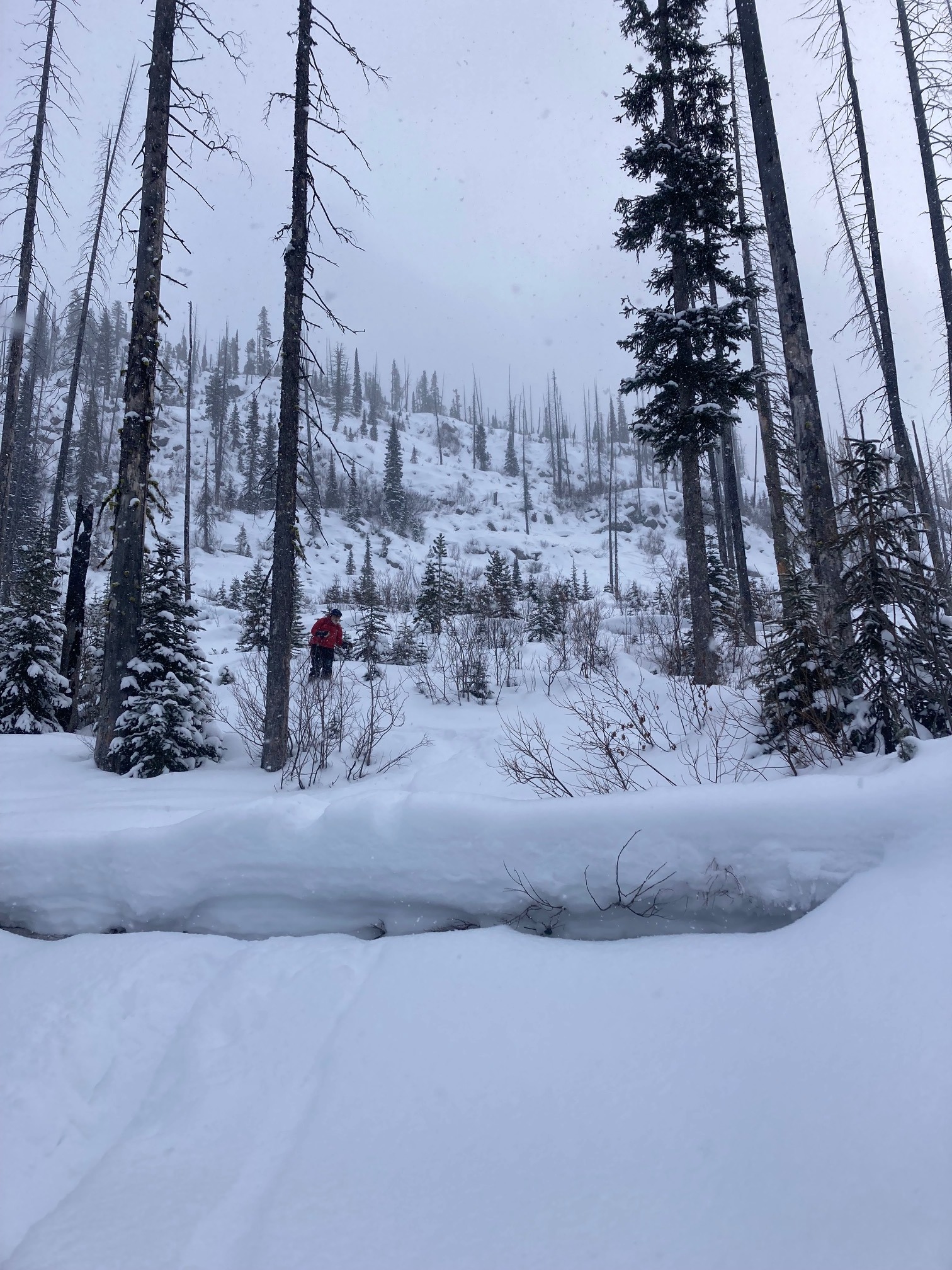
Quick report
November facets are most concerning above 7000' on E through W aspects, particularly north-facing slopes. This weak snow near the ground has strengthened in recent weeks, but it still is structurally weak. We might expect this weak layer to become reactive from the middle part of the week into the weekend. On E through W aspects facing south, across all elevation bands, we have weak snow sandwiched between melt-freeze crusts that were buried in late December. On the northern half of the compass above 7000' we've found a layer of buried surface hoar across our forecast zone. At the surface, we have anywhere from 4-8" of very light snow. This surface snow and weak snow in the upper snowpack will likely not hold much weight and may be the cause of avalanches early in the week (Tuesday/Wednesday). No instability noted today. Small amount of loose surface snow (sluff) moving on steep terrain.
Weather
- Air Temp
- 13
- Cloud Cover
- overcast
- Wind Loading
- light
- Recent Snowfall
- 10-20
- Snow Avail For Transport
- moderate amounts
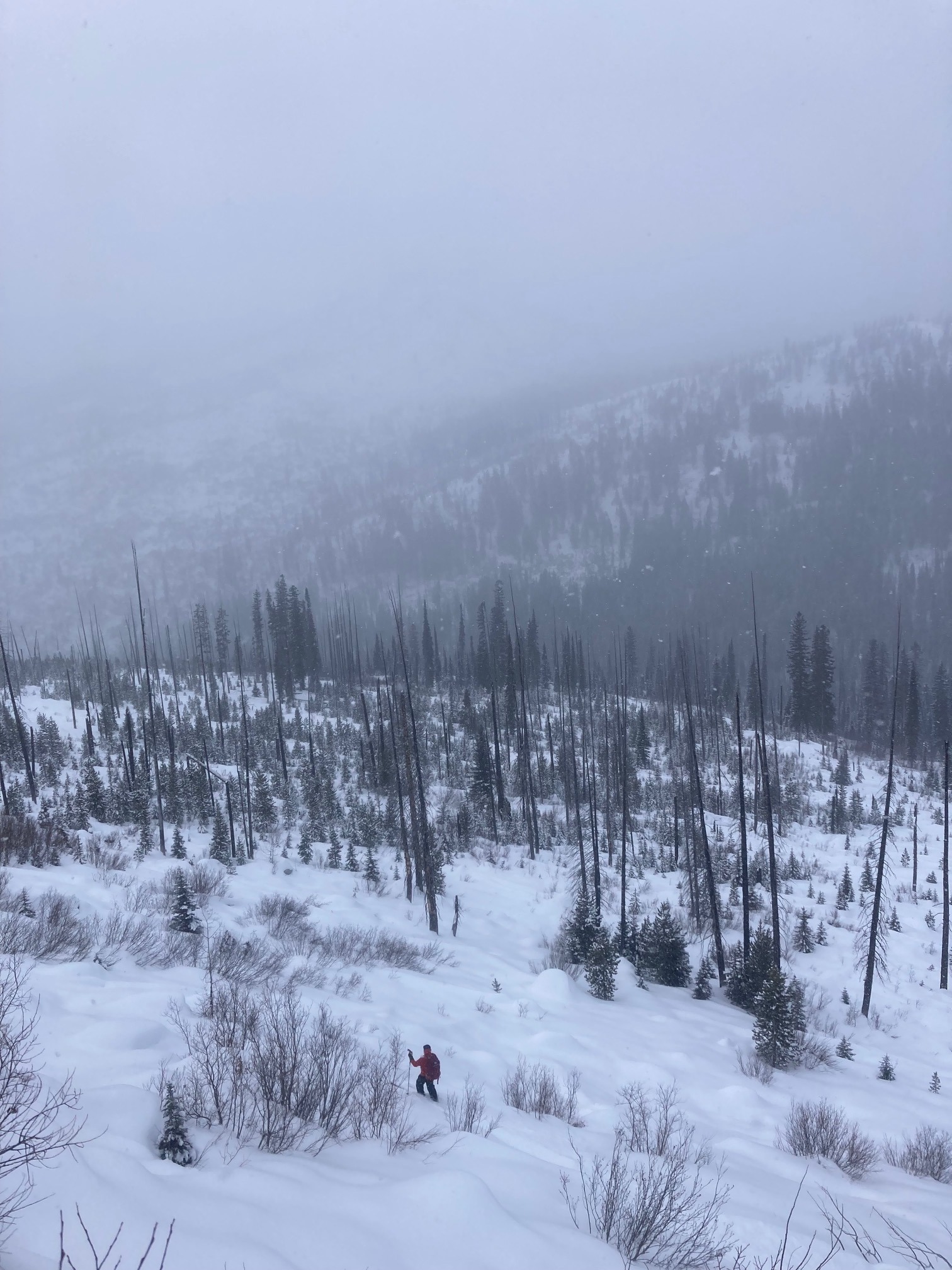
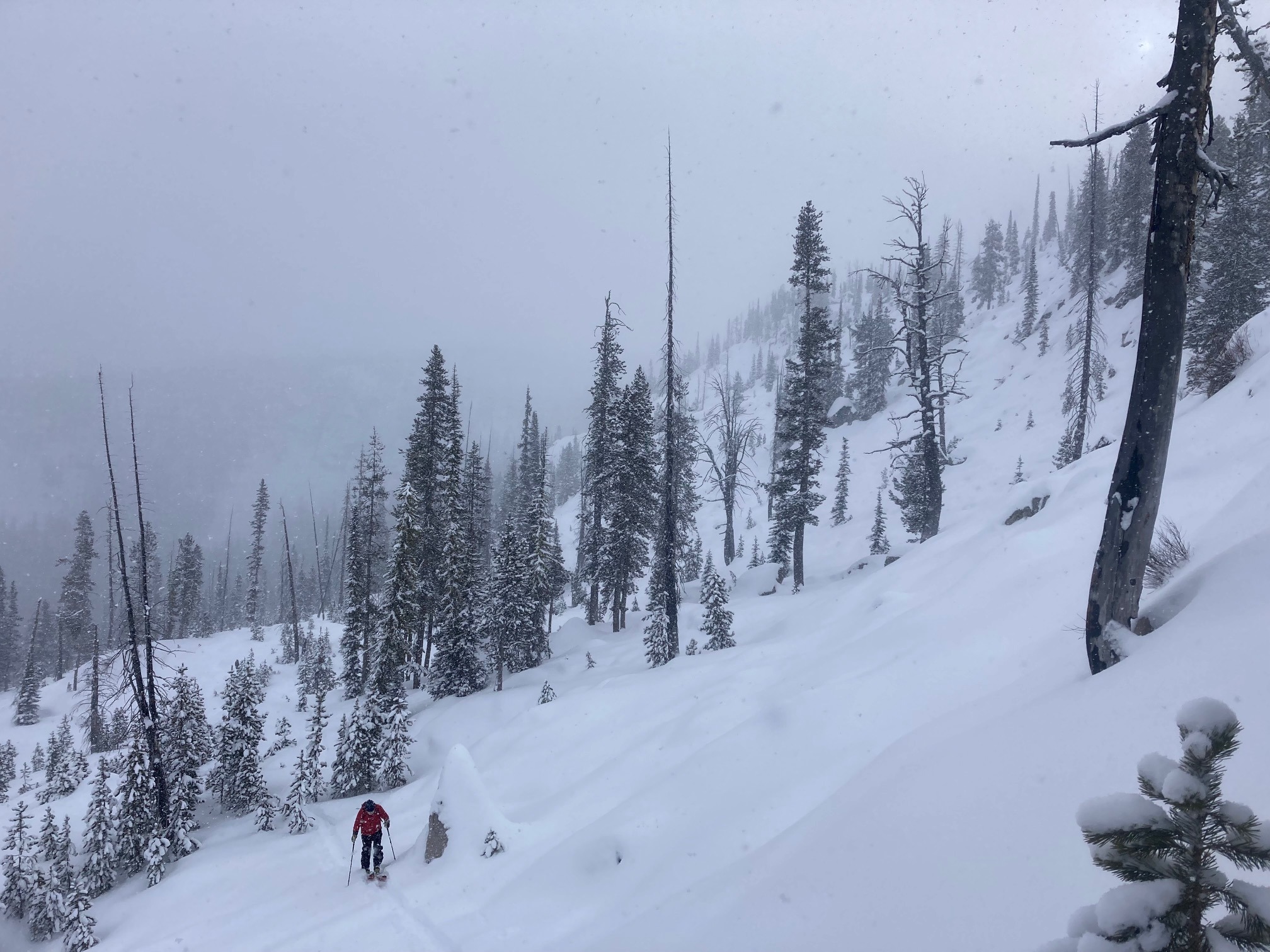
A cold day in the mountains. 2F at the TH in the morning. Light snow showers began around mid morning and began to slightly intensify in the afternoon. Light winds were increasing out of the SW.
Snowpack
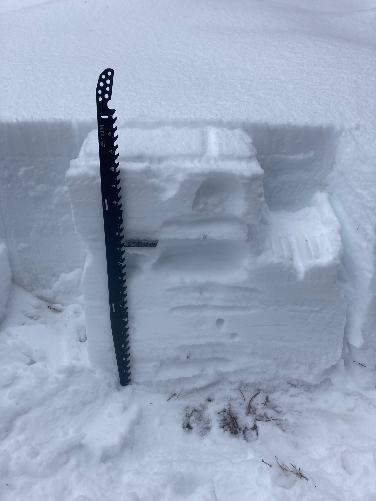
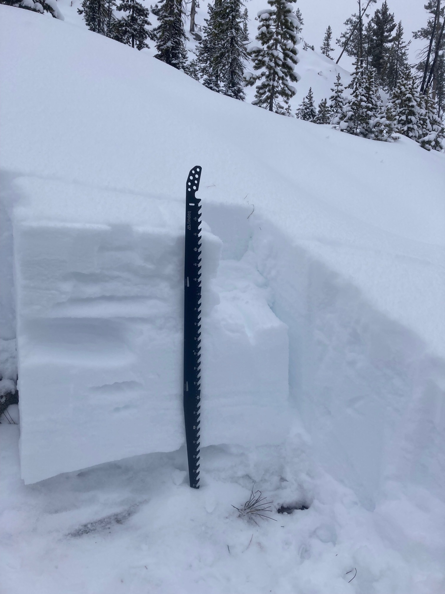
We dug two pits today. First was 6800', NW aspect, HS was 90 cm. CT 11 RP and ECTN 15, 23 cm down on 0.5mm NSF beneath a 3 cm thick MF crust buried in late December. CT 27, 65 cm down on 1-2mm rounding facets from November. Problematic layers are weak snow near the ground and facets in the upper snowpack underneath MF crusts. Second pit was ay 7400', E aspect, HS 95 cm. Similar structure and similar test results as first pit. ECTN 18, 25 cm down on NSF beneath late December MF crust. November facets were larger and weaker in upper elevation pit.