

Bollettino valanghe

Presidential Range

Mount Washington Avalanche Center
Vedi sulla mappa

Pericolo valanghe

Wed
Alta quota
2 · Moderato
Limite del bosco
2 · Moderato
Sotto il limite
1 · Debole
Non aggiornato — questo bollettino è scaduto 6 years ago. Stai vedendo condizioni passate, non il bollettino in corso.

In sintesi

Human triggered avalanches 1-3 feet thick are possible today, especially in steep, east-facing ravines. Give new slabs time to settle and stabilize. Wind drifted slopes should be approached with caution. Avalanche danger today is MODERATE. 

The Lion Head Summer Trail remains the best option if climbing to the summit from Pinkham Notch. Be sure to check the slatboards for the trail status.

Problemi valanghivi

  • Wind Slabs

    • Alta quota
    • Limite del bosco
    • Sotto il limite del bosco
    Probabilità
    Possible
    Dimensione
    1–2

    While active drifting of snow has subsided this morning, recently formed wind slabs will continue to be reactive to a human trigger in some locations. Cohesive slabs may be resting on a melt freeze layer formed early Saturday evening. Use test slopes and ease into terrain to check how these recently formed slabs are bonding. Watch for signs of instability including shooting cracks and whumping. Getting caught and carried by even a small avalanche can be deadly due to the many rocks exposed in the run-outs of gullies.
Avalanche Discussion

After three days of snow accompanied by two days of wind from the west, snow showers subsided and the summit of Mt Washington has not reported blowing snow since 10PM last night. If active loading has ended, the chance for a natural avalanche is greatly reduced. However, settlement will be slow with current cold temperatures, meaning wind slabs will remain sensitive to a human trigger. 

Yesterday in the ravines, plenty of red flags were observed including shooting cracks, whumping, and drifting snow. One part of the hazard rating puzzle is the size component. A teeny tiny slab that’s very sensitive and almost certain to trigger is not much of a hazard. A large slab that’s easy to trigger is a hazard, driving up the overall hazard rating. In the field yesterday, we were hoping to see just how much of the snow over the weekend was transported into the east facing ravines, which is in question due to the wet, dense snow that fell for much of Saturday and the melt freeze layer observed in many places Sunday morning. With poor visibility, we could not readily confirm overall how much the snowpack changed. The possibility exists that Saturday’s snow is locked above treeline, protected by a melt freeze crust, thus limiting the overall size of the new wind slabs. 

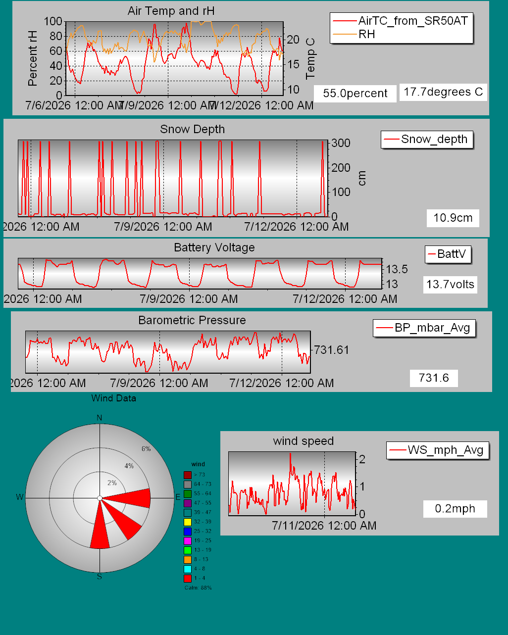
Details on daily snowfall totals, precipitation type, total depth of snow, and other information can be found on our page devoted to snow study plot data. Click here to check it out. Data collected hourly by the new automated weather station at Hermit Lake can be found hereand graphically here.

Recent snowpack and avalanche observations can be found here. Your observations help improve our forecast product. Please take a moment and submit a photo or two and a brief description of snow and avalanche conditions that you see in the field.

The Harvard Cabin is open for camping only with no entry allowed inside the cabin.

Regioni coperte