Wanaka

New Zealand · New Zealand Avalanche Advisory · partie de New Zealand

Voir sur la carte

Danger d’avalanche

High Alpine · above 1,800 m
2 · Modéré
Alpine · 1,200 m–1,800 m
2 · Modéré
Sub Alpine · below 1,200 m
1 · Faible

Bulletin émis 17 hours ago · valide jusqu’au Aug 30

Publié par New Zealand Avalanche Advisory

Bulletin en cours

Points saillants

A limited amount of fresh snow and gale Westerly winds are forecast.

Wind Slab may form especially, on East facing slopes.

Be on the lookout for wind loading and avoid areas where wind driven snow is accumulating.

Problèmes avalancheux

  • Wind Slabs

    • Toutes altitudes
    Probabilité
    Possible
    Taille
    1.5

    Wind Slab may develop especially, on East facing slopes above about 1200m Stay clear of ridge line entry points and other steep unsupported slopes if you encounter stiff wind transported snow.

  • Loose Wet

    • Toutes altitudes
    Probabilité
    Unlikely
    Taille
    1.5

    Recent heavy rain has left the snow pack holding significant moisture particularly, below about 1700m. Wet slide activity (Loose Wet and Wet Slab) cannot be ruled out particularly, on solar (North facing) slopes during the middle of the day. If the surface is heating rapidly and losing cohesion, move to a cooler aspect.

Recent Avalanche Activity

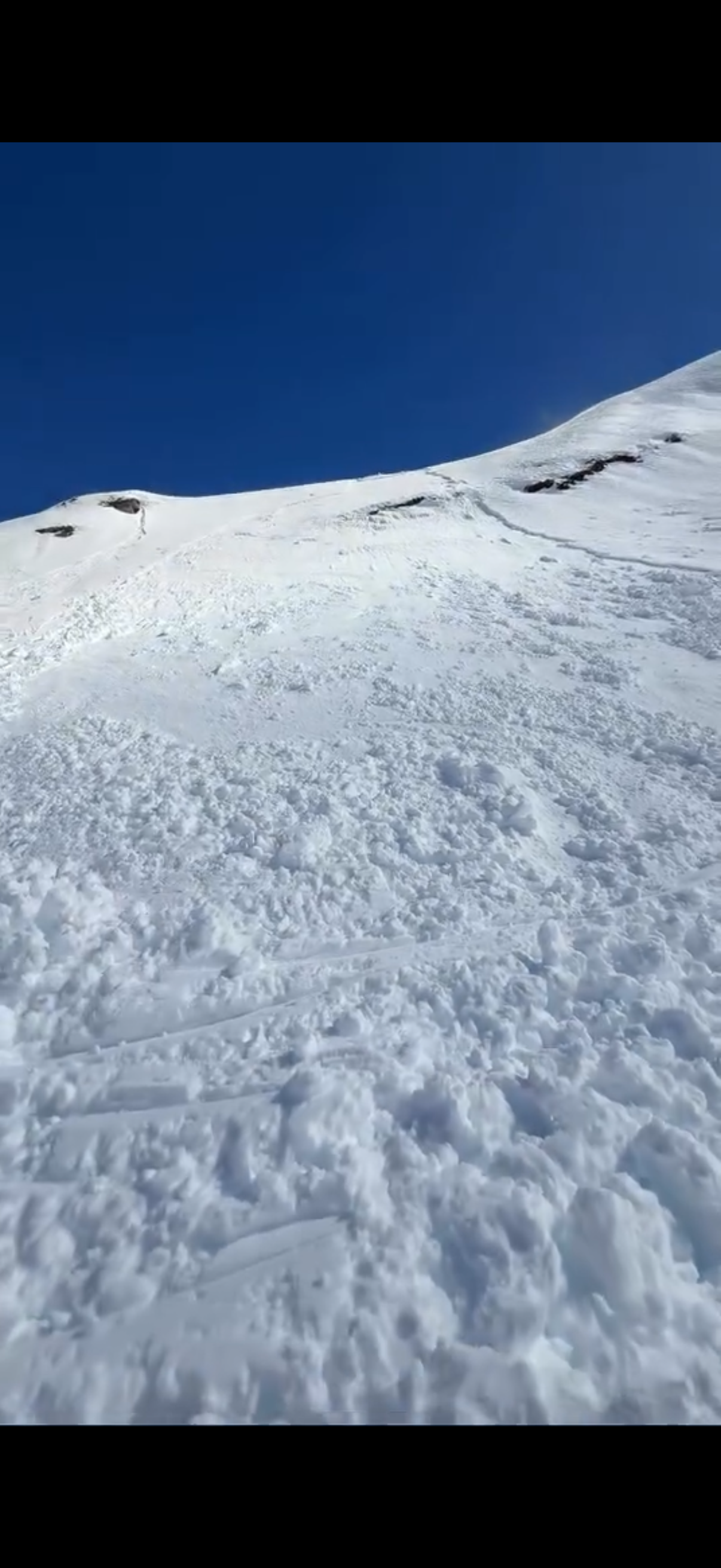
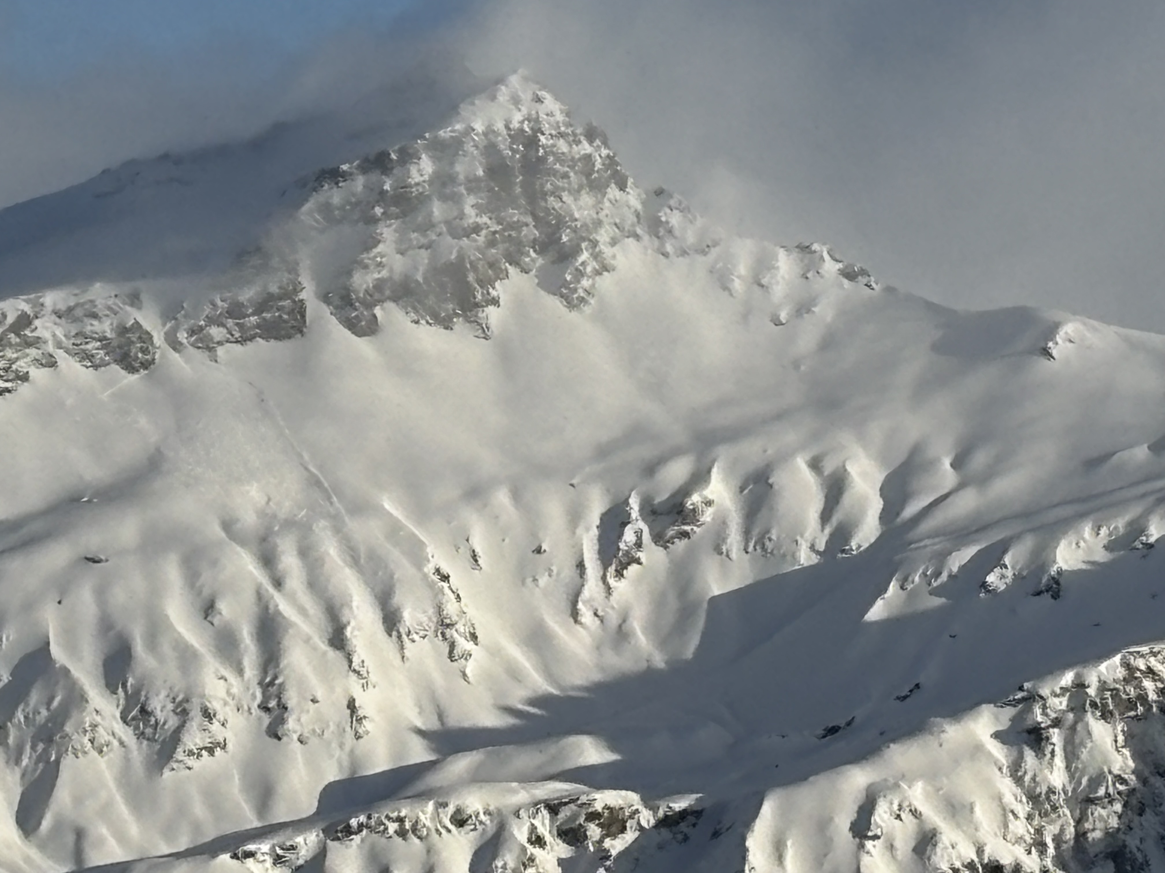
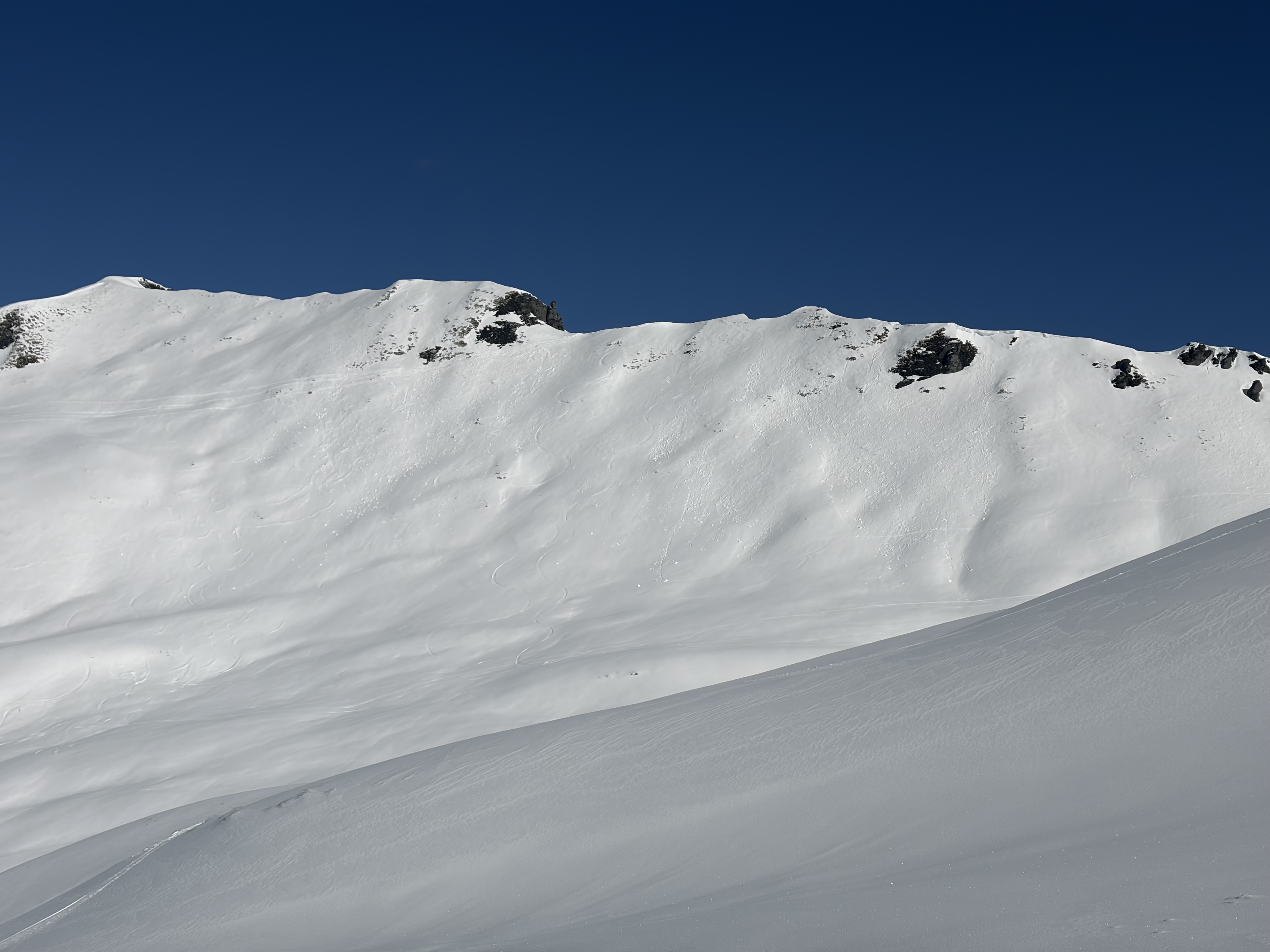
A widespread cycle of natural avalanches (Wet Slab, Loose Wet and Wind Slab) occurred during the last storm 26th - 28th August.

If you see evidence of avalanches in the back country please enter a Public Observation.

Mountain Weather

Sunday - showers falling as snow down to 900m. Gale Westerly winds rising the severe gale at upper elevations in the morning. Freezing level - 1600m dropping to 1200m AM.

Current Snowpack Conditions

A significant amount of rain and snow during the last storm with at least 100mm in the Albert Burn. Rain to about 1800m on Wednesday before the freezing level began to drop. There was a rapid rise in temperature on Thursday afternoon which triggered a widespread cycle of wet slide activity. Warm daytime temperatures on Friday and Saturday will have helped snow pack settlement.

Sliding Danger

Rain/snow and strong winds from multiple directions over the past few days. Also, the freezing level has been changing constantly. Be prepared to encountered highly variable surface conditions ( including fresh snow, refrozen wet snow and areas of crust - both breakable and supportive). Recommend carrying ski crampons and/or an ice axe and crampons.

Forecast Confidence

Moderate

  • We are uncertain about forecast snowfall amounts.
  • We are uncertain due to a highly variable snowpack.

New Zealand Avalanche Advisory (NZ Mountain Safety Council)

Tendance des bulletins

AlpLimSsb