Nelson Lakes

New Zealand · New Zealand Avalanche Advisory · partie de New Zealand

Voir sur la carte

Danger d’avalanche

High Alpine · above 1,800 m
3 · Marqué
Alpine · 1,200 m–1,800 m
2 · Modéré
Sub Alpine · below 1,200 m
Sans niveau

Bulletin émis 8 hours ago · valide jusqu’au Aug 31

Publié par New Zealand Avalanche Advisory

Bulletin en cours

Points saillants

Wind slab danger will increase on easterly aspects, particularly in the high alpine, as snow and gale-force westerly winds continue.

Problèmes avalancheux

  • Wind Slabs

    • Toutes altitudes
    Probabilité
    Likely
    Taille
    2.5

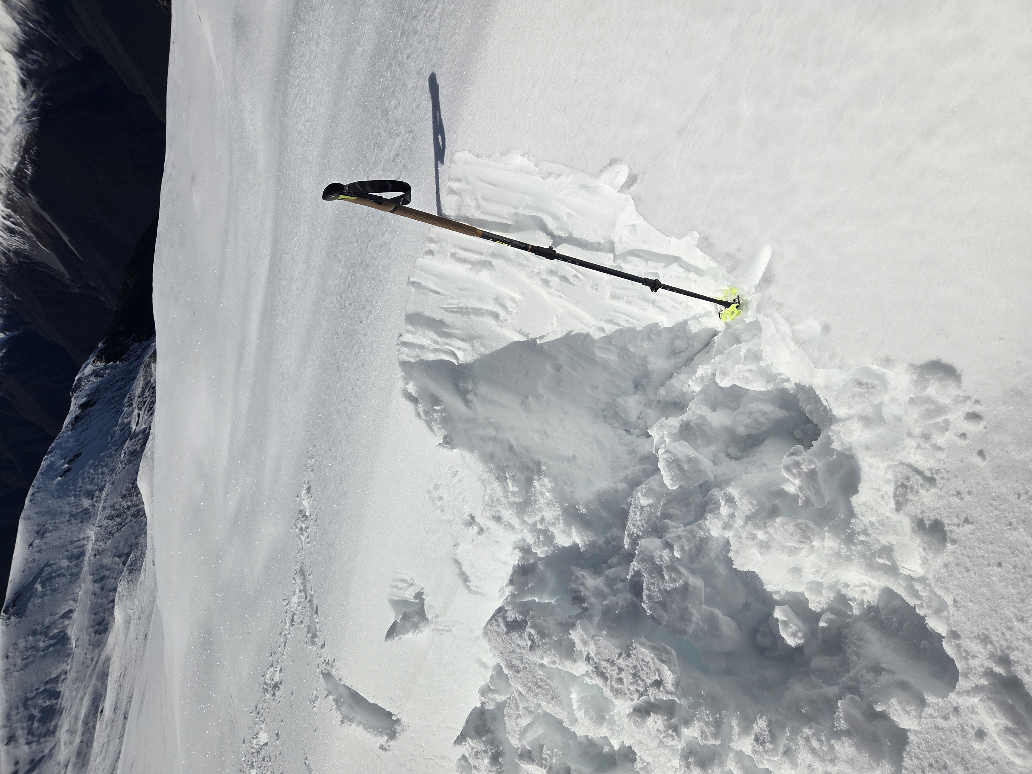
    With forecast snow on Sunday night and Monday, wind slab danger is increasing to considerable. The new snow will be redistributed by strong to severe gale winds from the west. This is most likely at ridge crests and upper start zones on eastern half aspects in the high alpine.

  • Cornices

    • Toutes altitudes
    Probabilité
    Possible
    Taille
    1

    Cornice development is possible with this wind and snow. Cornices can act as a trigger for the developing wind slab on this same aspect.

Recent Avalanche Activity

No observations have been possible during this storm. Please provide any snowpack or avalanche observations using the link below.

https://www.avalanche.net.nz/observations

Current Snowpack Conditions

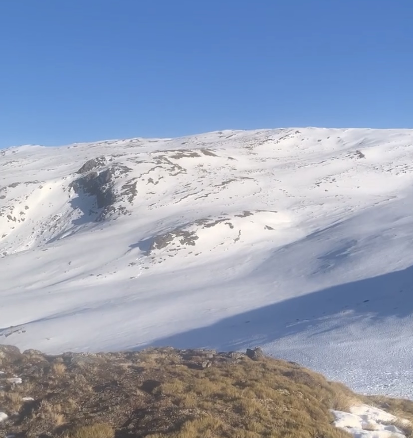
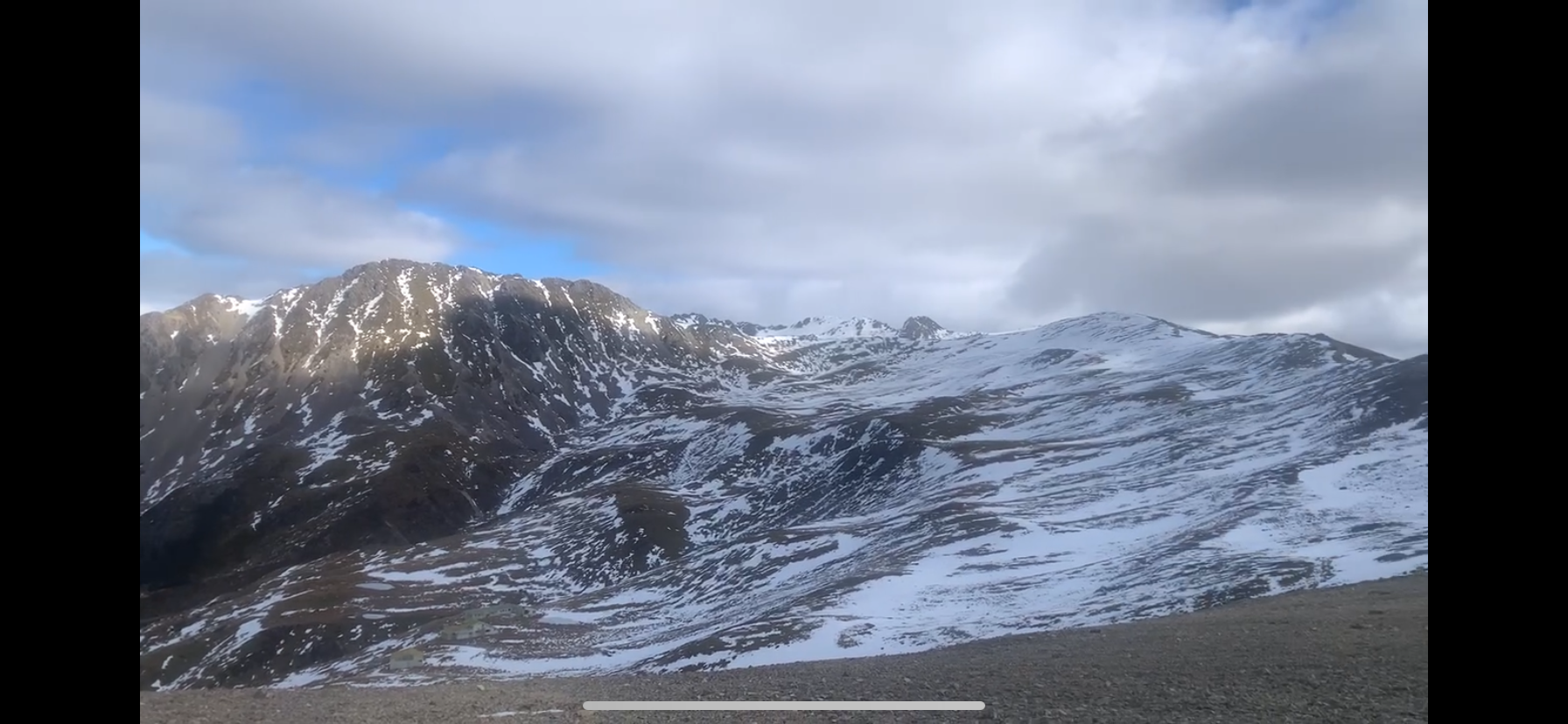
Significant snow loss has occurred below 1800. Cover above 1800m is reasonably consistent. Rain saturated the snowpack at all elevations last Wednesday and up to 1900m on Thursday and Friday. Snow fell during Thursday evening and Friday in the high alpine (probably above 1900m), accompanied by gale-force northwest winds. With a lower freezing level on Saturday, it is expected that the snowpack will have refrozen. There is still the possibility of wind slabs developing currently particularly at upper elevations, as strong winds from the westerly quarter continue.

Mountain Weather

Snow showers will be heavy at times and lower from 1400m to as low as 800m on Monday evening. The metservice has forecast up to 30cm at Travers Saddle overnight on Sunday and during Monday. The wind will be severe gale westerlies. The freezing level will lower from 1500m to 1100m late in the day

Sliding Danger

An ice axe and crampons need to be carried for mountain travel, as the snow has refrozen and will be hard at mid elevations and where the snow has been scored by wind at upper elevations.

Forecast Confidence

High

  • We are confident the likelihood of avalanches will increase with the forecast weather.
  • We are uncertain about forecast snowfall amounts.

New Zealand Avalanche Advisory (NZ Mountain Safety Council)

Tendance des bulletins

AlpLimSsb