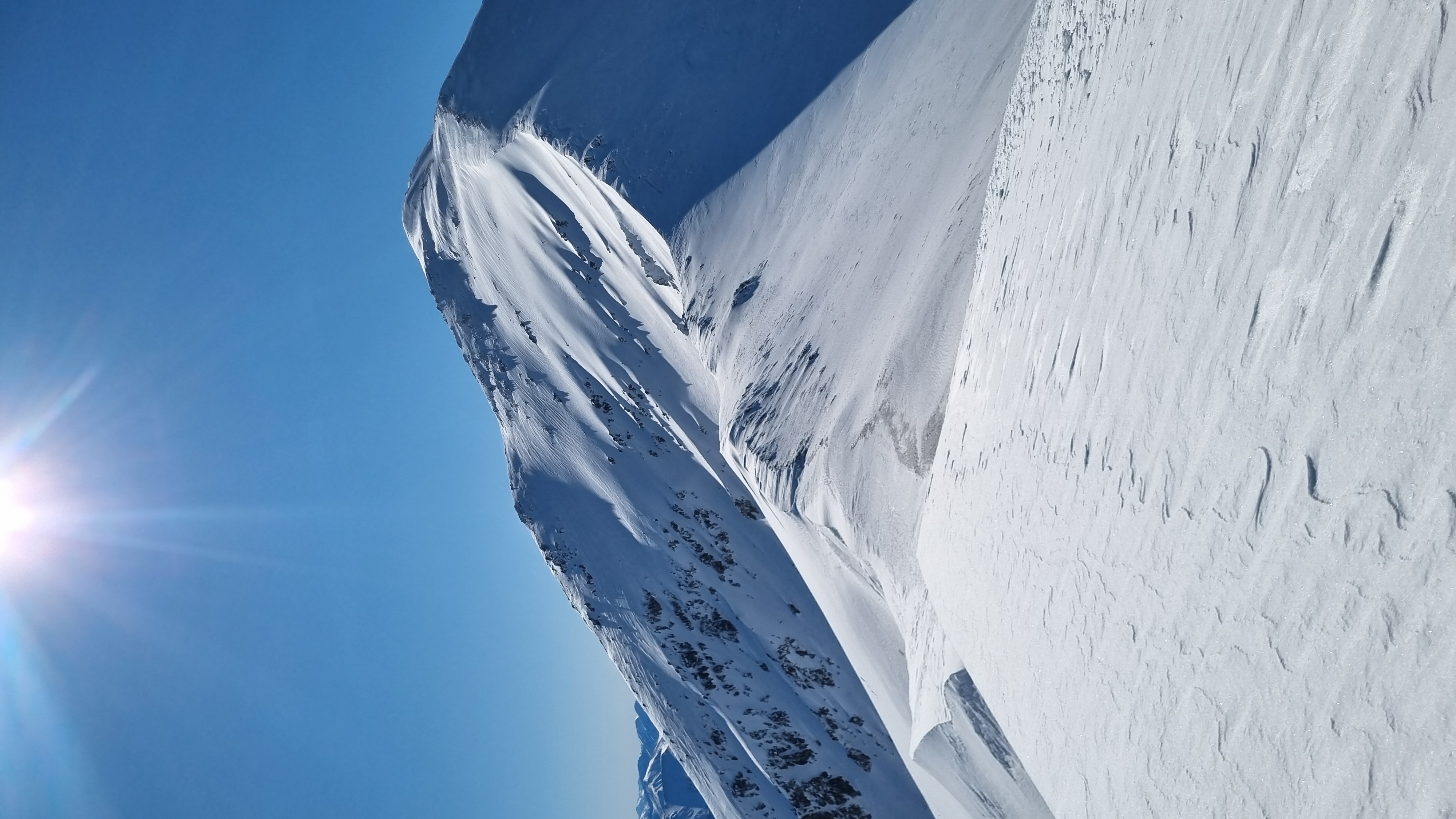
Craigieburn Range

New Zealand · New Zealand Avalanche Advisory · partie de New Zealand

Voir sur la carte

Danger d’avalanche

High Alpine · above 1,800 m
2 · Modéré
Alpine · 1,200 m–1,800 m
1 · Faible
Sub Alpine · below 1,200 m
1 · Faible

Bulletin émis 9 hours ago · valide jusqu’au Sep 1

Publié par New Zealand Avalanche Advisory

Bulletin en cours

Points saillants

Wet surfaces will refreeze over night leaving firm surfaces until softened by the sun.

Loose Wet is the hazard to be aware of on sunny aspects in the heat of the day. Plan your travel away from runouts and steep terrain.

Problèmes avalancheux

  • Wind Slabs

    • Toutes altitudes
    Probabilité
    Possible
    Taille
    1.5

    Weather forecast is for a little snow along with strong Westerly and Southwest winds. Watch for obvious loaded slopes of more dense snow on aspects lee to the Westerly and Southwest winds above 1800m. Steep sheltered slopes will need investigation before dropping in. With such strong winds, these slabs are likely to be found well down below ridgeline and in very sheltered areas.

  • Loose Wet

    • Toutes altitudes
    Probabilité
    Unlikely
    Taille
    1

    An elevated freezing level and late August sun mean Loose Wet avalanches are unlikely on sunny slopes in the heat of the day. Rollerballing is an indication that the surface is loosing cohesion so plan your travel accordingly

Recent Avalanche Activity

Nil reported in the previous 24hrs

Current Snowpack Conditions

Snow coverage across the forecast area is super variable. Up to 170cm in some areas down to rime covered rocks in others. A very 'spring like' snowpack exists at the moment with a few crusts remaining at upper elevations only. Around 50mm of precipitation fell overnight of the 26-27/08 turning to snow to around 1200m. A warming pattern began late afternoon on the 27/08 along with 40+mm of rain to about 1800m. The snowpack rapidly warmed and went through a large natural avalanche cycle soon after. Several Wet Slabs were reported on the morning of the 28/08. The snowpack is now draining and becoming isothermic in all areas below 1800m.

Mountain Weather

Monday: Mainly fine, then showers becoming widespread in the afternoon before clearing south of the Rakaia River in the evening. Snow lowering to 800m in the north and 400m in the south. Gale Westerly winds turning Southwest in the evening. Freezing level 1400m lowering to 900m in the evening.

Tuesday: Partly cloudy. Strong Southwest winds turning Westerly in the evening. Freezing level 700m slowly rising to 1600m in the afternoon.

Sliding Danger

Ice axe and crampons are highly recommended as rain will now turn to ice at all elevations.

Ski Crampons will be required if adventuring on skis or snowboard.

Forecast Confidence

High

  • We have a good understanding of the snowpack structure and confidence in the weather forecast.
  • We are uncertain due to the variability of wind effect on the snowpack.

New Zealand Avalanche Advisory (NZ Mountain Safety Council)

Tendance des bulletins

AlpLimSsb