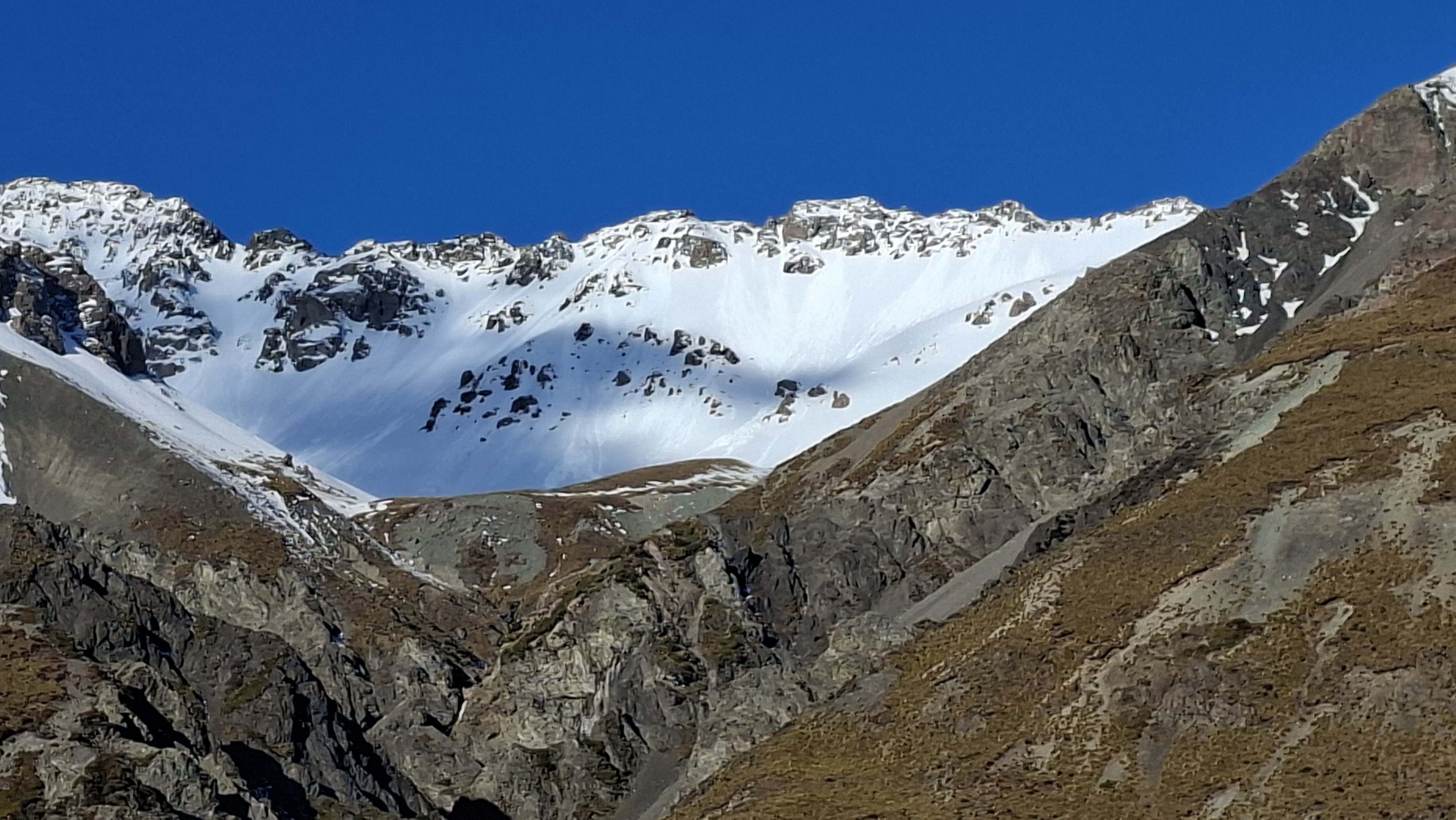
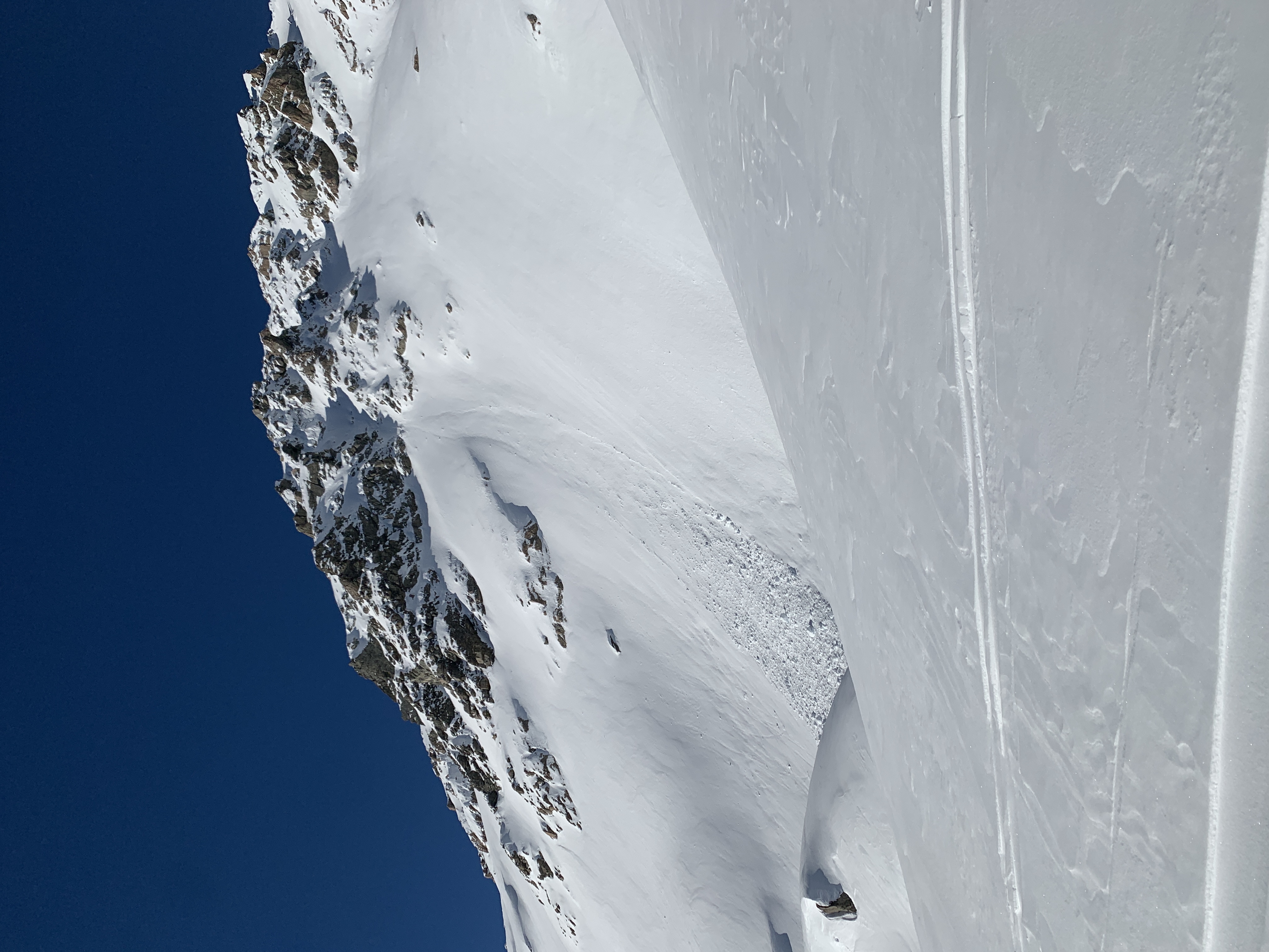
Aoraki/Mt Cook

New Zealand · New Zealand Avalanche Advisory · partie de New Zealand

Voir sur la carte

Danger d’avalanche

High Alpine · above 2,000 m
2 · Modéré
Alpine · 1,500 m–2,000 m
2 · Modéré
Sub Alpine · below 1,500 m
1 · Faible

Bulletin émis 11 hours ago · valide jusqu’au Aug 31

Publié par New Zealand Avalanche Advisory

Bulletin en cours

Points saillants

Gale North West to West winds continue to affect the park. With new snow loading wind slabs can be expected to be forming on Lee aspects

Slick sliding surfaces and long sliding falls remain a significant concern.

Carefully consider plans for travel in the alpine.

Problèmes avalancheux

  • Wind Slabs

    • Toutes altitudes
    Probabilité
    Possible
    Taille
    2

    Northwest to West gale force winds with continued snow fall will maintain a slow steady build of wind slab problems on East through south aspects. A small pocket of windslab may step down into previous layers and trigger a larger avalanche than forecast.

    Avoid areas of stiff windslab if encountered in avalanche terrain.

Recent Avalanche Activity

30th August - No Avalanches observed or reported

Current Snowpack Conditions

25 to 10 cm of new snow tapering rapidly towards the East fell across the park on the 30th of August. This was accompanied again with severe gale force winds.

Reports from Plateau hut on the 30th said that the winds there were up t0 100kph with all new snow being sublimated again and the surface remaining stripped back to the previous crusts. Stiff wind slab is likely to have formed on South and East aspects above 2000m on very specific terrain features. Elsewhere firm sliding surfaces are likely to be found. Below 2000m a stout Rain crust will still persists on most aspects

We have had minimal observations of the snowpack for over 6 days.We still need to get into the field to carry out a full reassessment

Mountain Weather

Showers, some heavy, clearing to fine in the evening. Snow to 800 metres until evening.

Wind at 1000 metres

Westerly gale 70 km/h, easing to southwesterly 50 km/h in the evening.

Wind at 2000 metres

Westerly severe gale 90 km/h, easing to southwesterly gale 70 km/h in the evening.

Wind at 3000 metres

Westerly severe gale 130 km/h, easing to southwesterly severe gale 100 km/h in the evening.

Freezing level

1300 metres, lowering to 1000 metres in the afternoon and to 700 metres in the evening.

Sliding Danger

Sliding hazard remains a significant concern. Ice axe and crampons are essential.

Forecast Confidence

Low

  • We are uncertain due to a limited number of field observations.
  • We are uncertain about forecast precipitation amounts.
  • We are uncertain due to variable freezing levels.

New Zealand Avalanche Advisory (NZ Mountain Safety Council)

Tendance des bulletins

AlpLimSsb