
Bitterroot
United States · West Central Montana Avalanche Center · partie de West Central Montana Avalanche Center
Bulletin émis 5 months ago · valide jusqu’au May 31
Bulletin en cours
Points saillants
This is our last update for the season. In the spring, avalanche danger can often be managed by travelling early when the snow surface is frozen, or by sticking to shady aspects. Plan to be out of avalanche terrain before you start sinking into wet, mushy snow. On warm nights when the snow surface does not refreeze, you may not be able to avoid wet snow hazards at all. When it snows, you’ll have to switch your brain back to dry snow avalanche avoidance. Remember that conditions can change especially quickly in the spring. If you do find new dry snow, don’t forget about wet snow problems, as you’re likely to encounter both on the same day.
Avalanche Discussion
The West Central Montana Avalanche Center is closed for the season. Unlike our Forest Service neighbors, we are a nonprofit avalanche center and do not have the resources to continue producing avalanche forecasts into the spring. Thanks to everyone who donated to our foundation this year. If you’d like to support us going into next season, click here to donate.
Spring avalanche hazard is often characterized by overnight freezing and daytime warming. Wet avalanche hazard increases as the snow warms each day. We call this pattern “spring diurnal.” This predictable cycle can be occasionally interrupted by spring storms. These bring a temporary return to winter-like conditions.
Here’s how you can manage avalanche hazard in each of these situations - spring diurnal, and spring storms.
1. Spring diurnal:
You may start the day on a frozen surface, but as temperatures warm and the sun comes out, the snowpack will warm and melt. This reintroduction of water to the snowpack heralds the daily return of wet snow avalanche problems. Wet snow problems can be split into two types.
Wet loose: This is the avalanche problem you are most likely to see. Wet loose avalanches start at a point and fan out, collecting mass as they travel. Common starting points are cliffs, rocks, or your feet.
Wet slab: These are larger destructive wet avalanches that occur when liquid water percolates into the snowpack. While we’ve moved past prime snowpack structure for wet slabs, we can't fully rule them out.
You can manage both types of wet avalanche problems with careful thought to timing and aspect. Travel early in the day while the surface snow is frozen. Move to shadier slopes as the sunny slopes start to heat up. Remember that the change from frozen to wet can happen rapidly.
Cornice and glide are also common spring avalanche problems. These are difficult to predict, but become more likely in the spring when temperatures are warm and water is moving through the snowpack. The best way to manage both cornices and glide cracks is to avoid travelling underneath them. Give cornices a wide berth if you’re travelling along ridgetops.
On cooler spring days you may not experience any warming, and the snow surface will stay frozen all day. On these days, avalanche hazard is limited to the isolated areas that do warm-up, or high elevations where a winter snowpack remains.
Conversely, there are times when the snowpack doesn’t freeze overnight. This commonly happens when nighttime lows stay above freezing, and skies are cloudy. In this case, the early travel strategy doesn’t work, and there may be no safe time of day to be in avalanche terrain.
2. Spring Storms
Spring storms can cause a temporary return to winter-like conditions. This means that you need to think about storm slab, wind slab, and dry loose avalanches. Cracking, collapsing, and recent avalanches are all signs to stay out of avalanche terrain. In the spring, these surface problems can “settle out” quickly where they bond well to the old snow surface. On the other hand, they can be especially sensitive to triggers where they sit on a melt-freeze crust.
During and after spring snowfall, avalanche conditions can change with elevation. You may be dealing with wet loose problems at low elevations, and dry surface problems up high. Avalanche danger can also increase quickly throughout the day as temperatures warm. This is because low-density new snow warms up more quickly than higher-density old snow. On these days, it is especially important to pay attention to changing conditions and try to stay ahead of snowpack warming by getting out of the mountains early.
Spring storms may involve rain, especially at lower elevations. Rainfall speeds up snowpack warming and increases the likelihood of wet avalanches.
Regardless of which avalanche conditions scheme you find, start the day with a plan, collect data, and make observations as you travel. Be willing to alter your plan and back off of a line if weather or avalanche conditions are different from what you expected.
Thanks again for the great season everyone. Please continue to submit observations (click here) to help out your fellow backcountry travellers. We look forward to seeing you next winter.
Tendance des bulletins
Observations récentes
Toutes les observations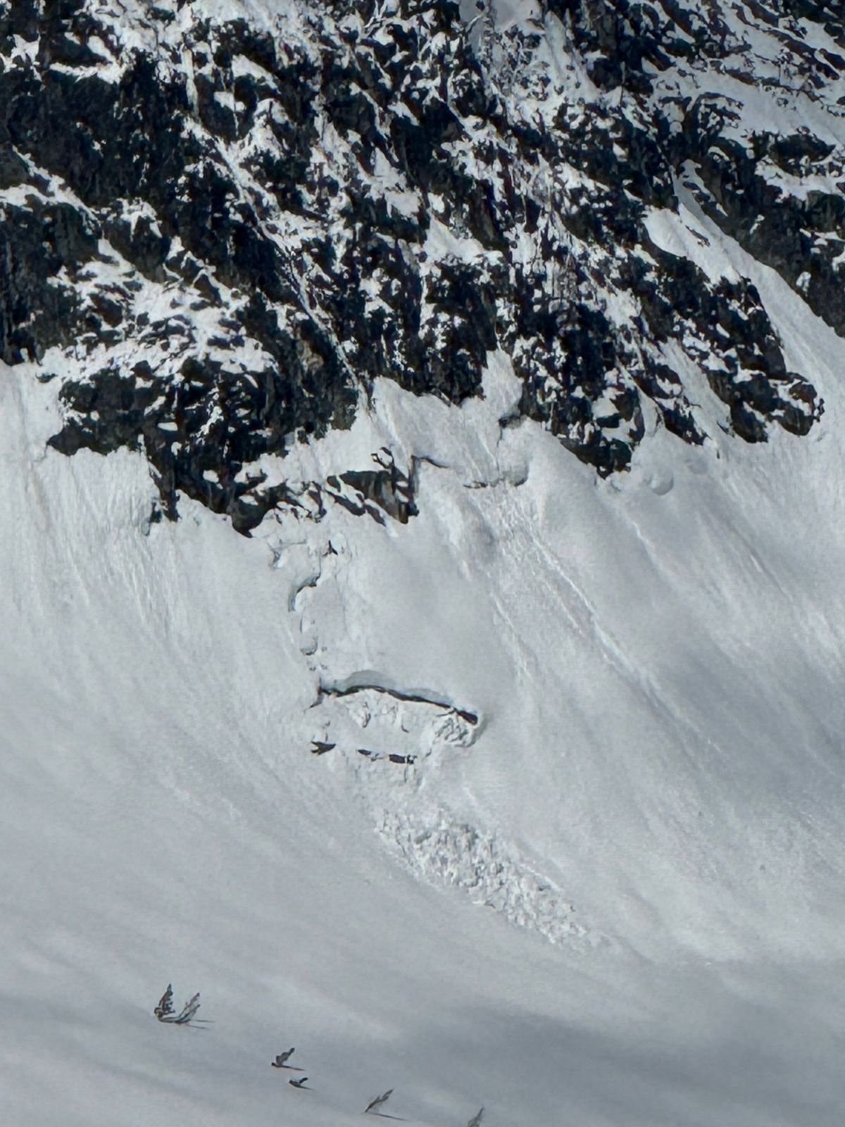
Gash pointAvalanche
Avalanche5 months agoAvalanche.org observer3
Gash pointAvalanche
Avalanche5 months agoAvalanche.org observer
Trapper peakAvalanche
Avalanche5 months agoAvalanche.org observer
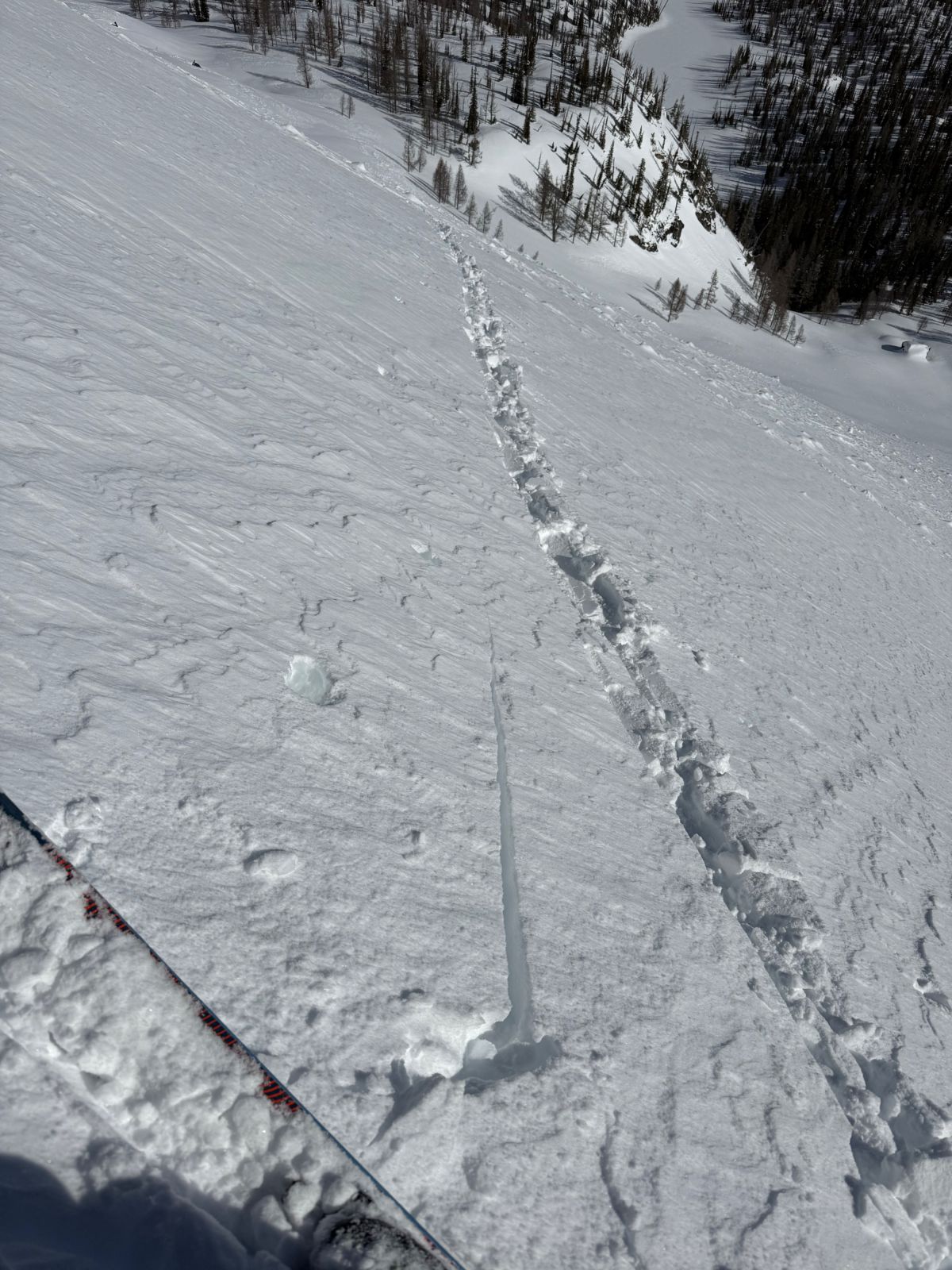
El Cap, Lonesome Bachelor cirque Rapport rapide
Rapport rapide5 months agoAvalanche.org observer1
GashRapport rapide
Rapport rapide6 months agoAvalanche.org observer