

Quick report
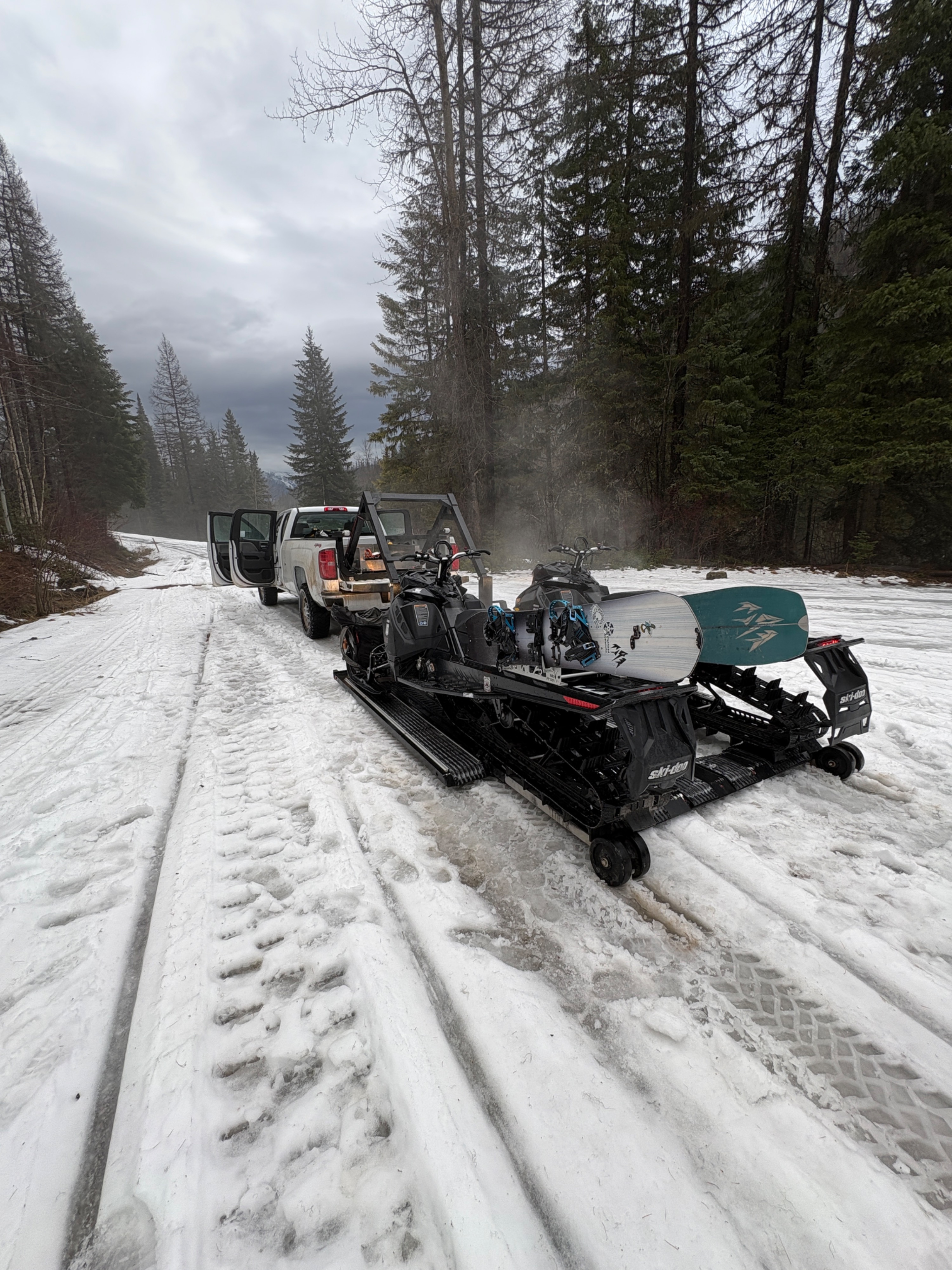
We toured into Lost Johnny to look for recent activity and track water movement through the snow. It was a day that made us glad to be descending on snowboards and not skis.
Main Takeaways:
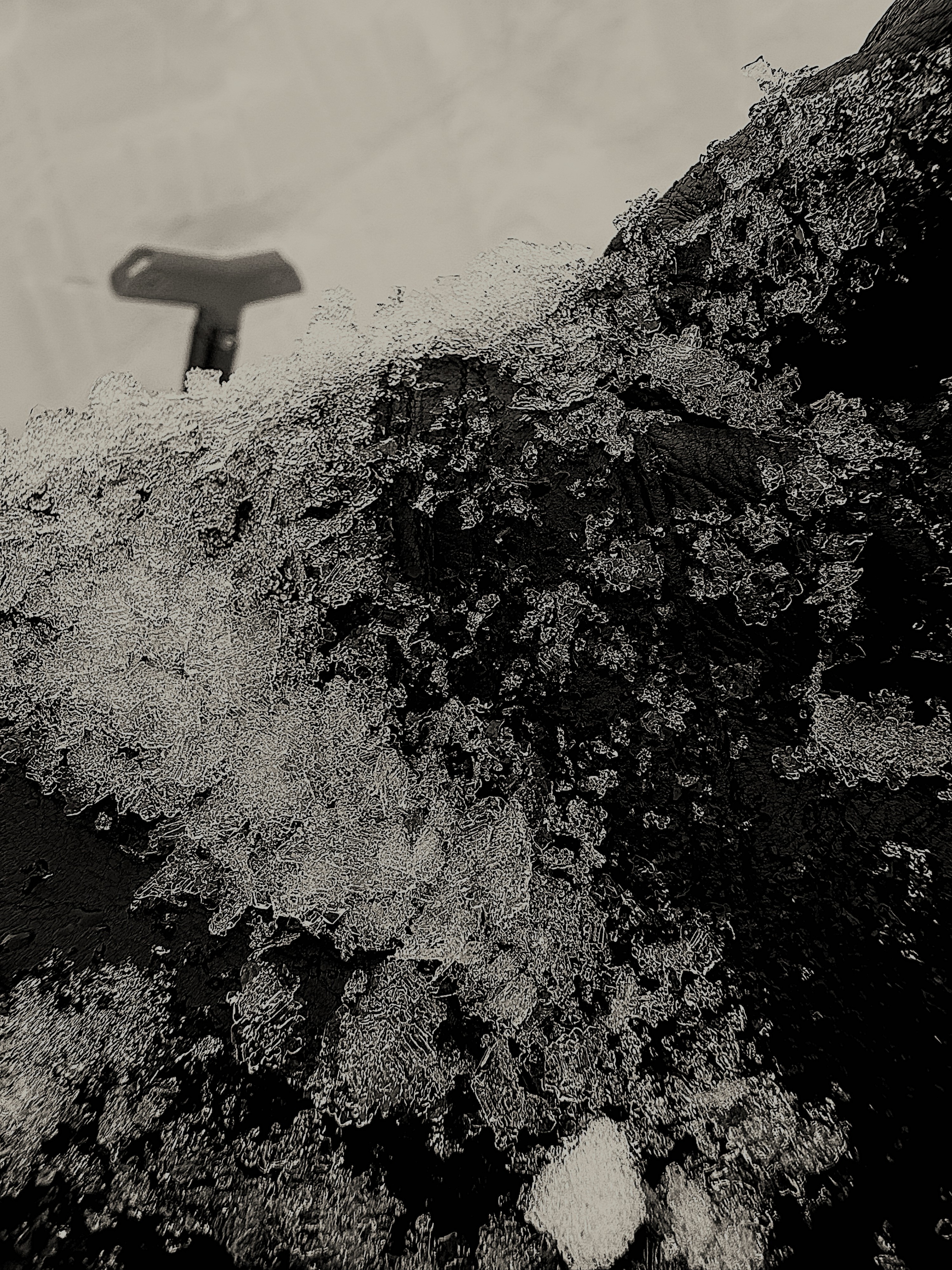
- In this drainage, very few signs of any significant wet avalanching during the warmup. We dug 5 snow holes above 6400' on mutliple aspects, and the primary wetting front was never deeper than 6". In one hole, water was pooling below the primary front on a layer 10" below the surface. Below that point, the snowpack was dry.
- Any wet loose potential in this area had played itself out. The upper snowpack above 6200' or so was supportable down about 6" (on the wet/dry line). Regardless of elevation, slopes failed to produce even a roller ball when provoked with hard turns/throwing snow on steep faces.
- Rain runnels only made it up to about ~6200'. It was certainly above freezing above that level, but not when significant rain was falling from the sky.
- Below about 6k, the snowpack was moist and punchy down +-2'.
- The JDL looked mean at ridgeline on a northeast aspect at 7000'. 10-15 mm surface hoar on a crust; same as it ever was.
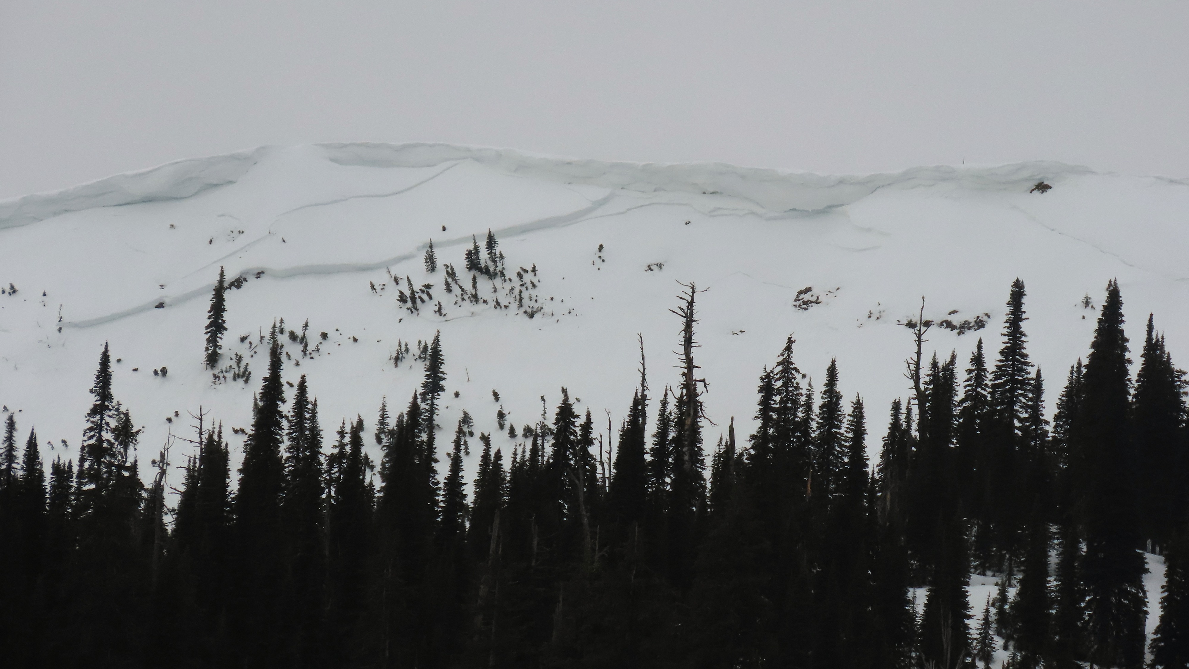
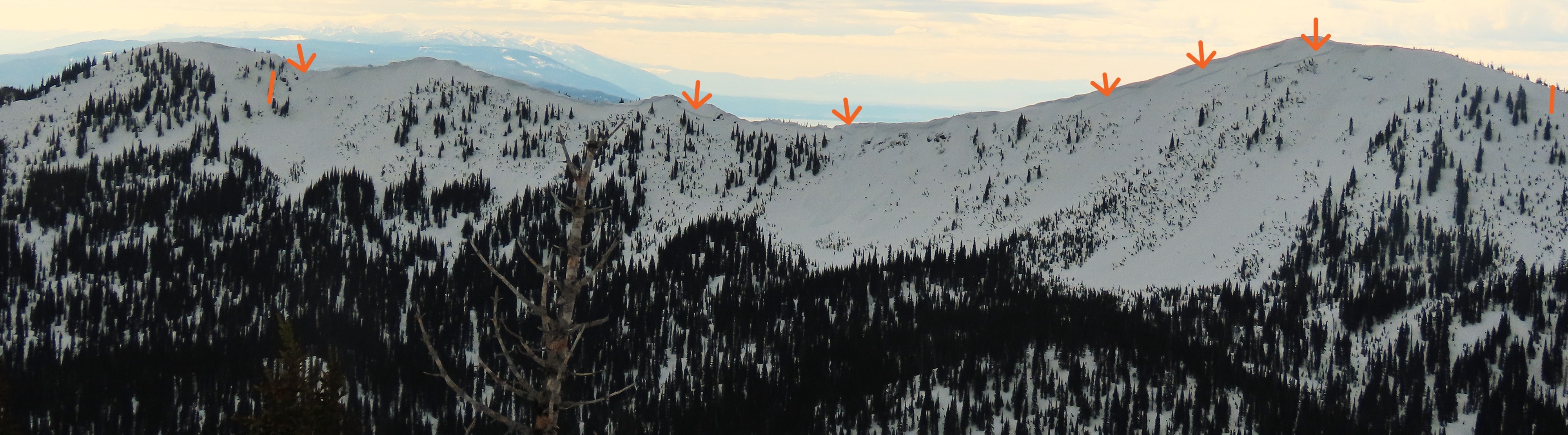
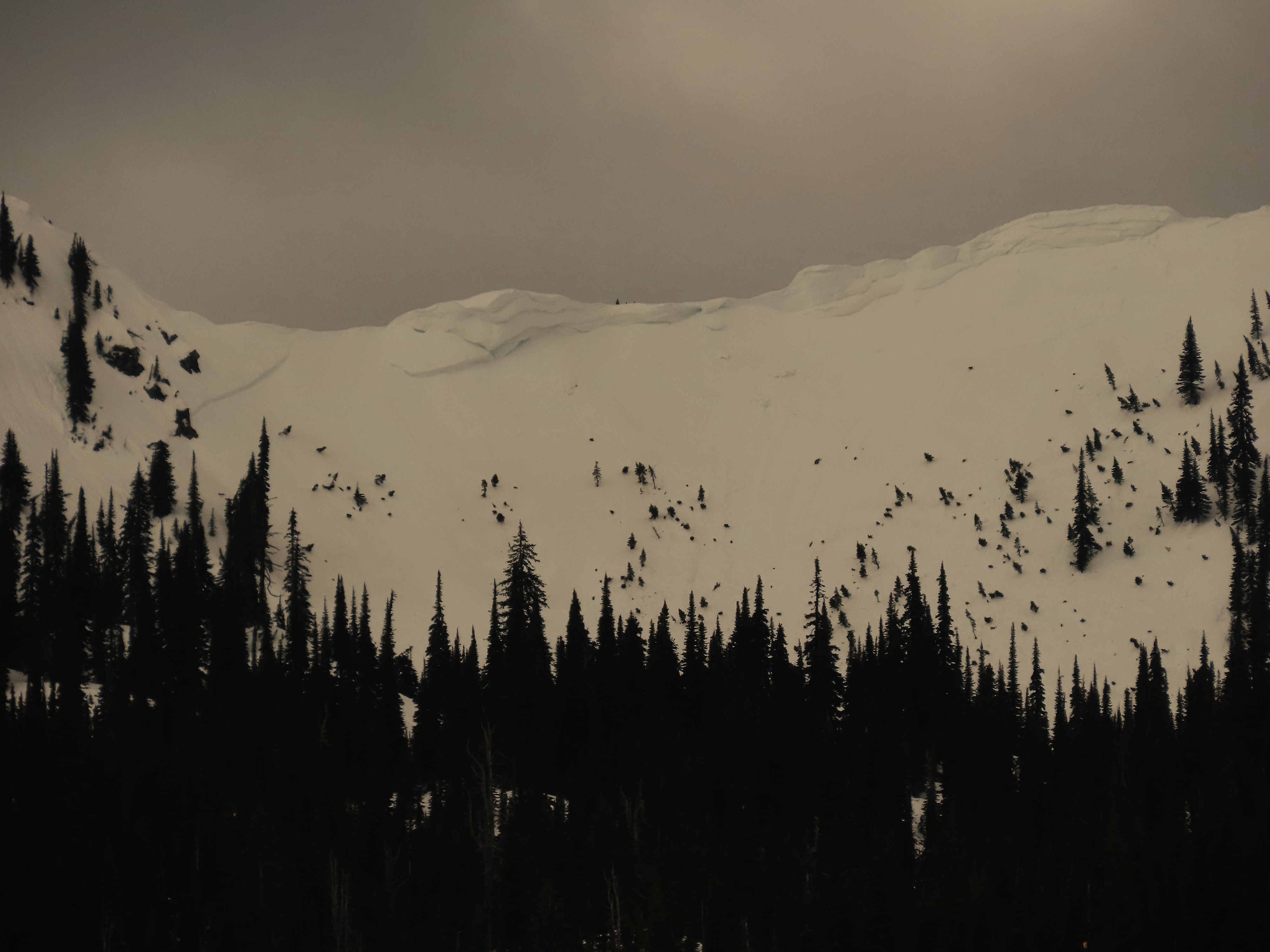
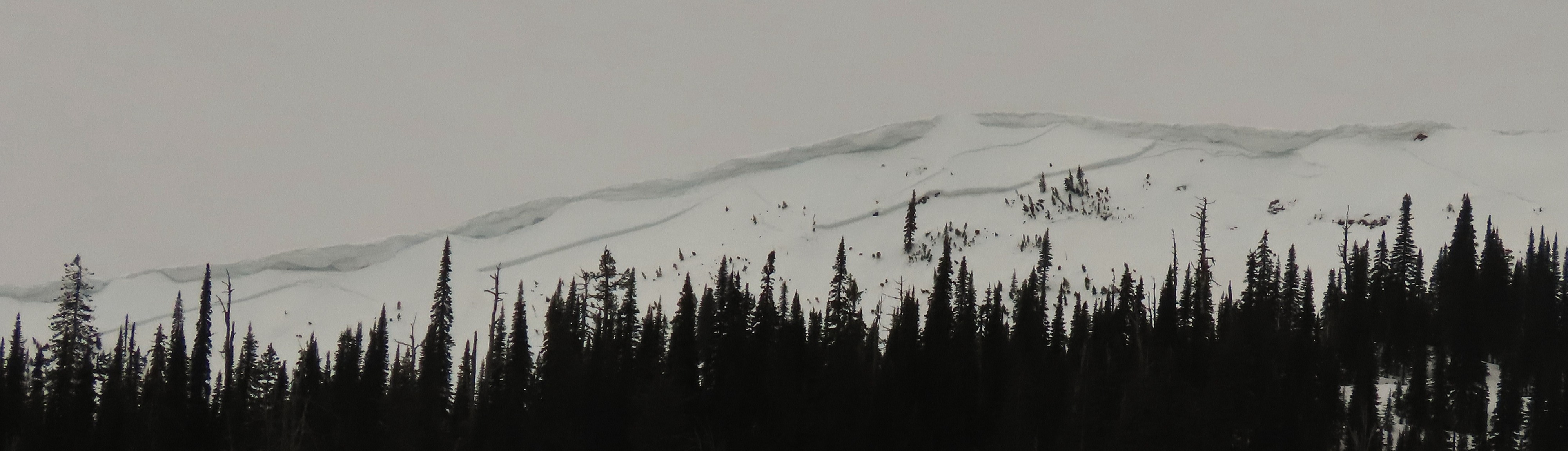
- The first large start zone we saw featured a large crown near ridge line. As the next peak came into view, it became apparent that an avalanche had extended from the first face, all the way to the second, for a total of .8 miles (4200'!, measured on google earth).
- Based on our field observations, we presume these to have been dry slab avalanches. They may have been triggered by cornice fall or smaller wind slabs below ridgeline, as there were clear step downs. Failure estimated to have been last Sunday-Tuesday, with lots of uncertainty. We estimated the crown at 6-8 foot deep at the thickest part.
- Additional dry slab avalanches (some filled in) observed as well on all the steep leeward faces we saw.
- We saw significant blocky debris at the bottom of a northwest aspect heading toward Otila Creek, but we were oblique to it and were never able to get a view of the start zone that produced the debris.
- From a very distant oblique angle, it also appeared that the east face of Blaine had produced a big slide.
- The snowstorm last week/weekend was productive here. We found about 22" of settled snow above the 3/9.
Weather
- Air Temp
- Warm
- Cloud Cover
- overcast
- Wind Loading
- previous
- Rain Elevation
- Prevoius rain runnels to about 6200'/Freezing levels much higher yesterday
- Snow Avail For Transport
- none
Overcast day with increasing winds, moderate to strong at ridgeline. Mostly dry with occasional drizzle.
Snowpack
Pit at 7000' on a northeast aspect. HS 240. 3/9 down 55 cm. JDL down 110 cm (10-15 mm SH on a crust). Wet, but well-bonded snow in upper 10-15 cm, dry below that. 4 additional snow holes above 6400' on all different aspects showed a similar snowpack structure.
Avalanche
- Size
- D3.5 R5
- Type
- HS
- Count
- 2
- Aspect
- NE
- Trigger
- N
- Elevation
- 7000 ft
Impressively large slab avalanche connected two peaks and over 3/4 of a mile. Additional large to very large slab avalanche as well further down ridge toward Hash, as well as signs of older filled in crowns, including on north aspect of Hash Mountain. Little to no signs of wet activity in the terrain, especially above 6000'.