
Quick report
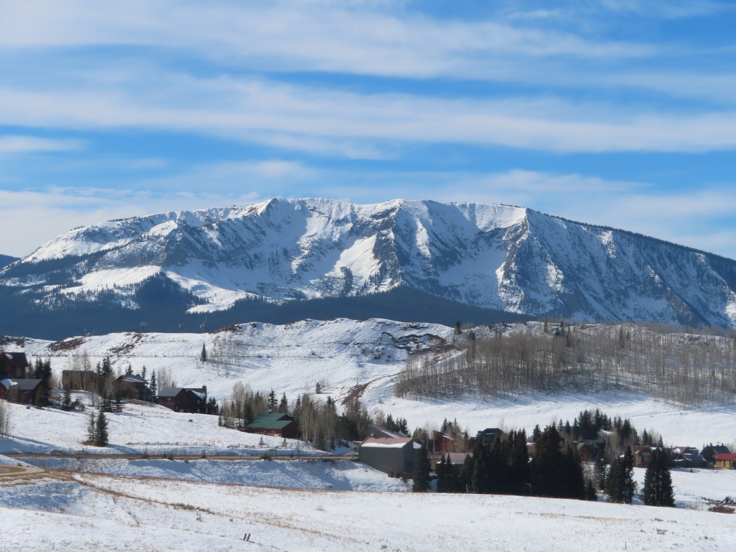
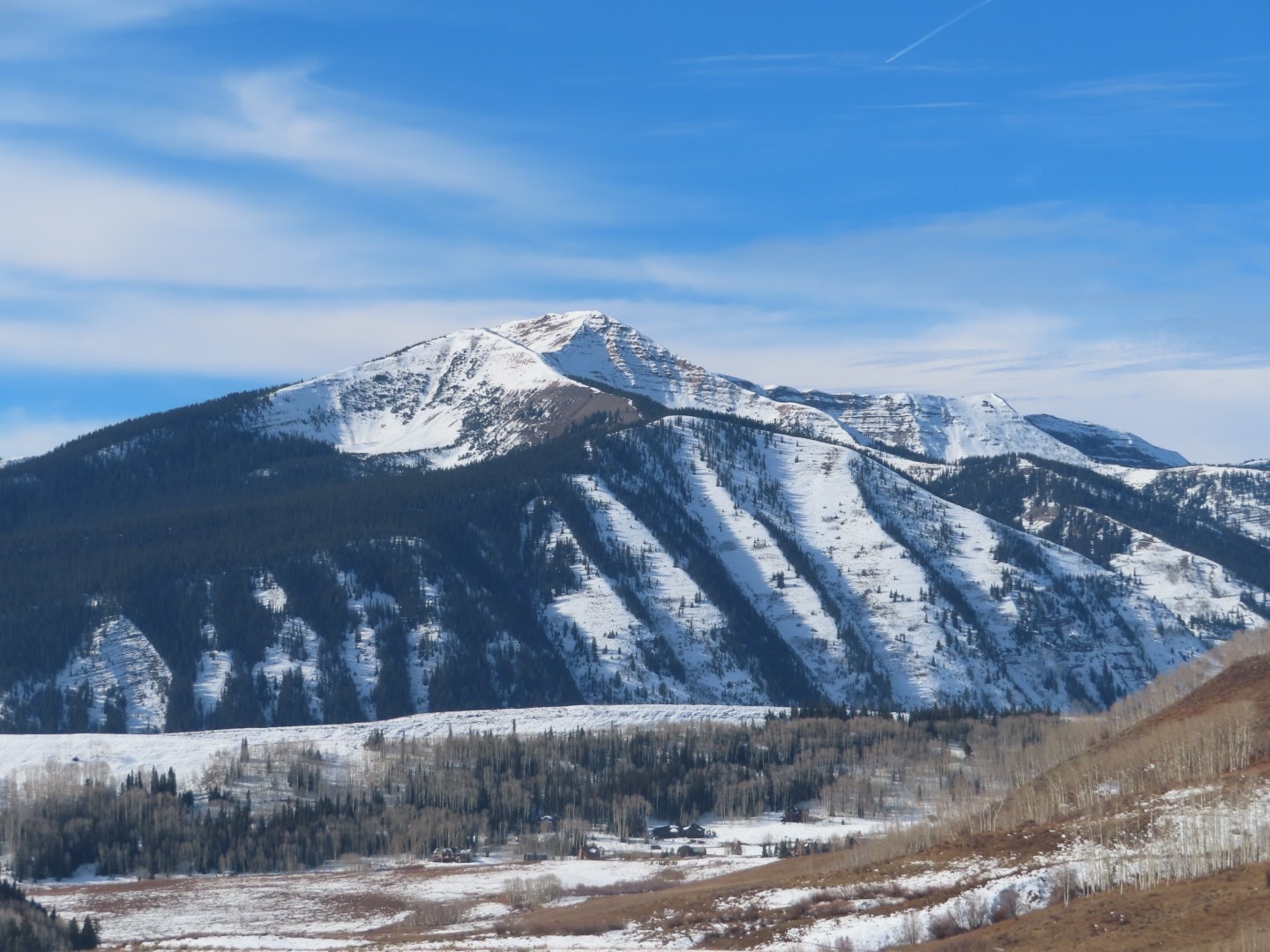
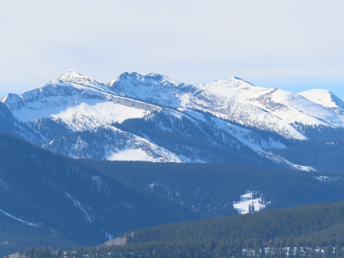
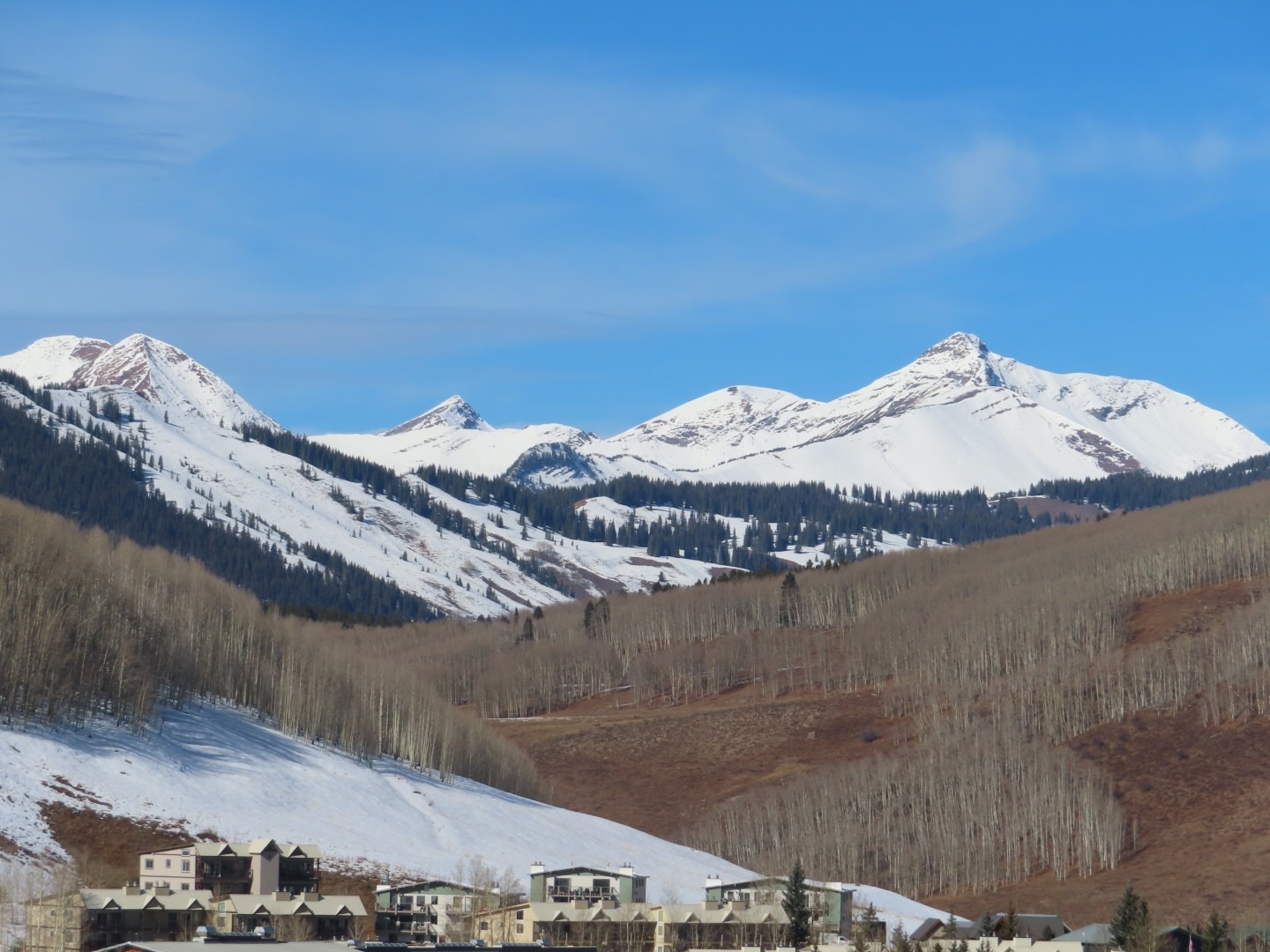
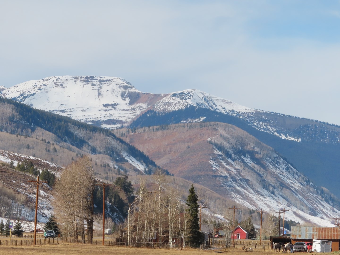
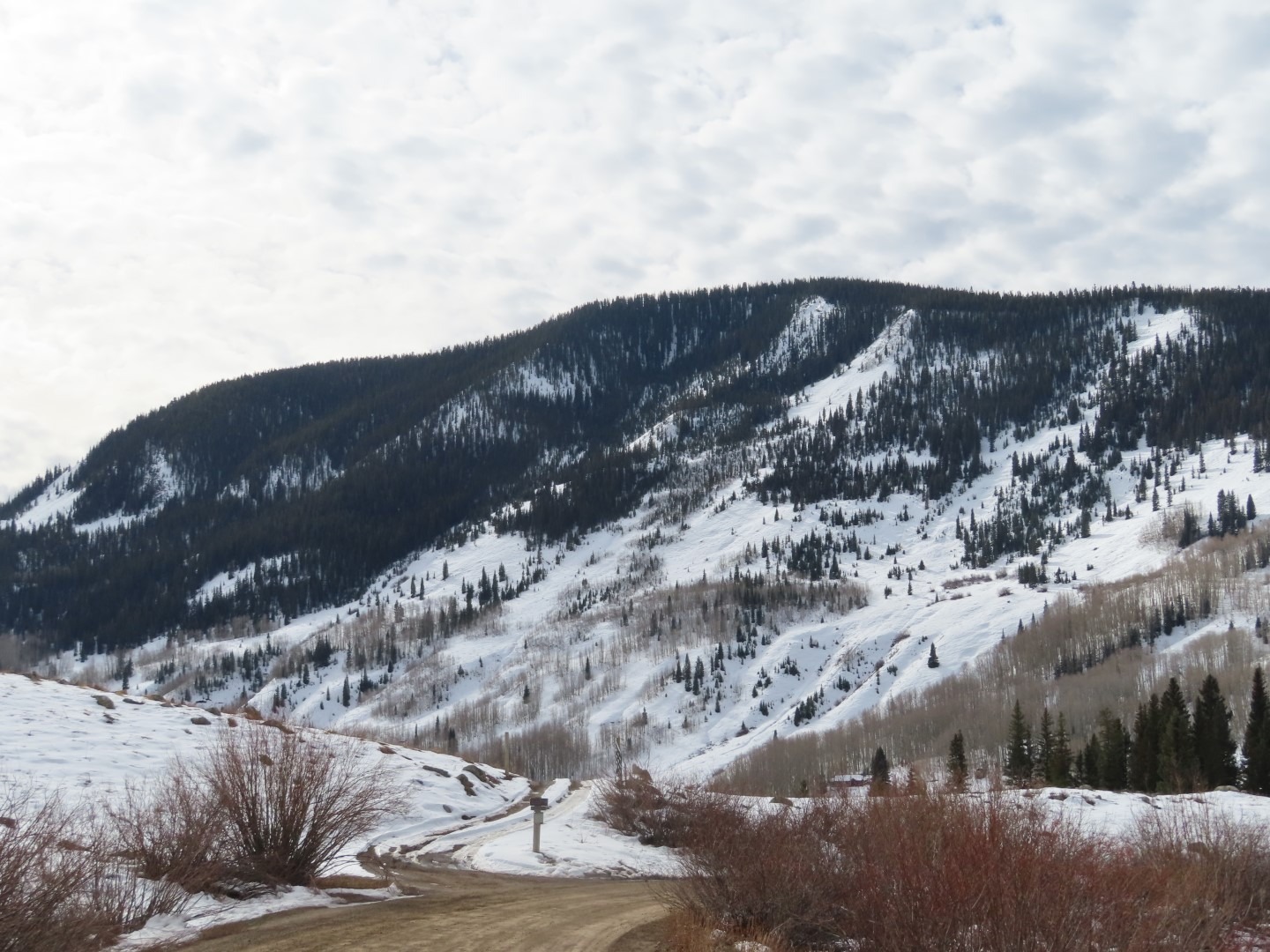
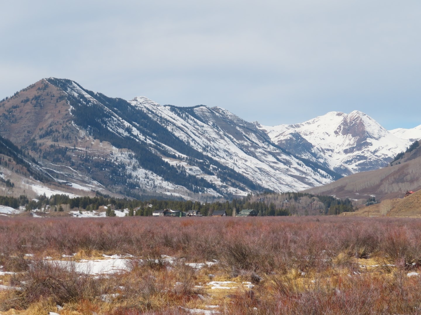
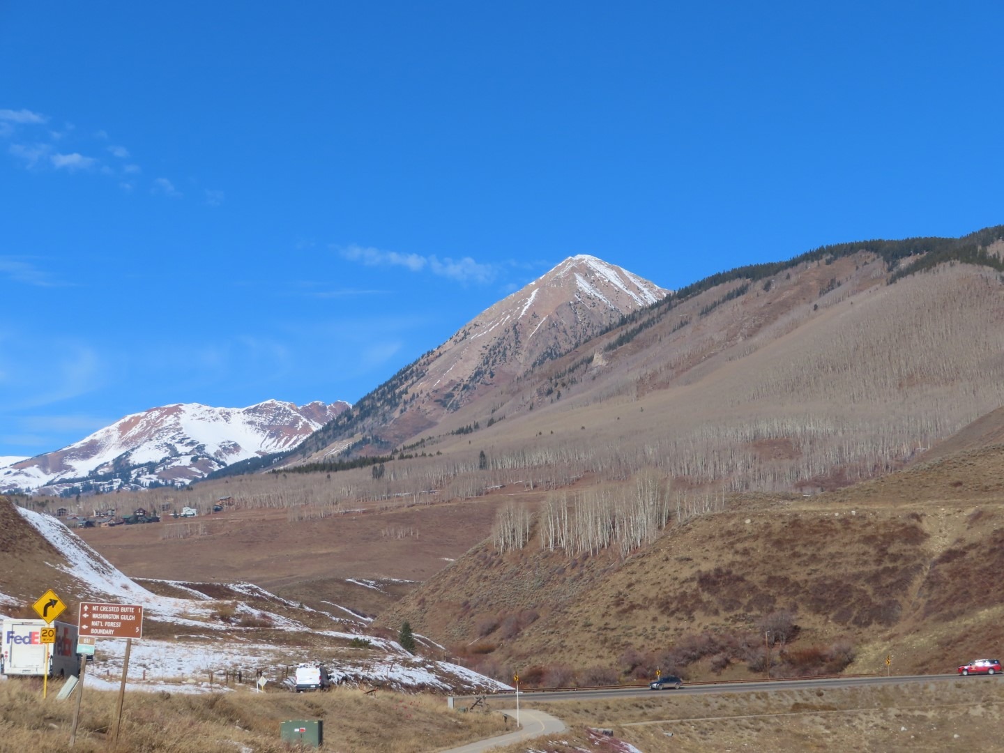
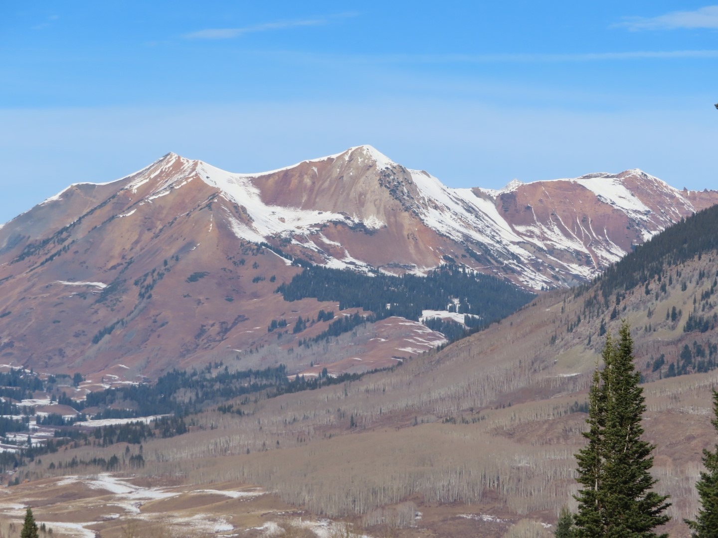
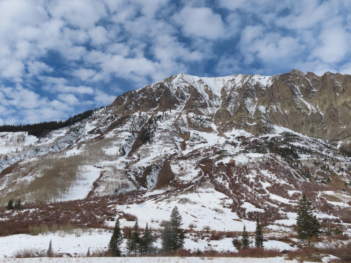
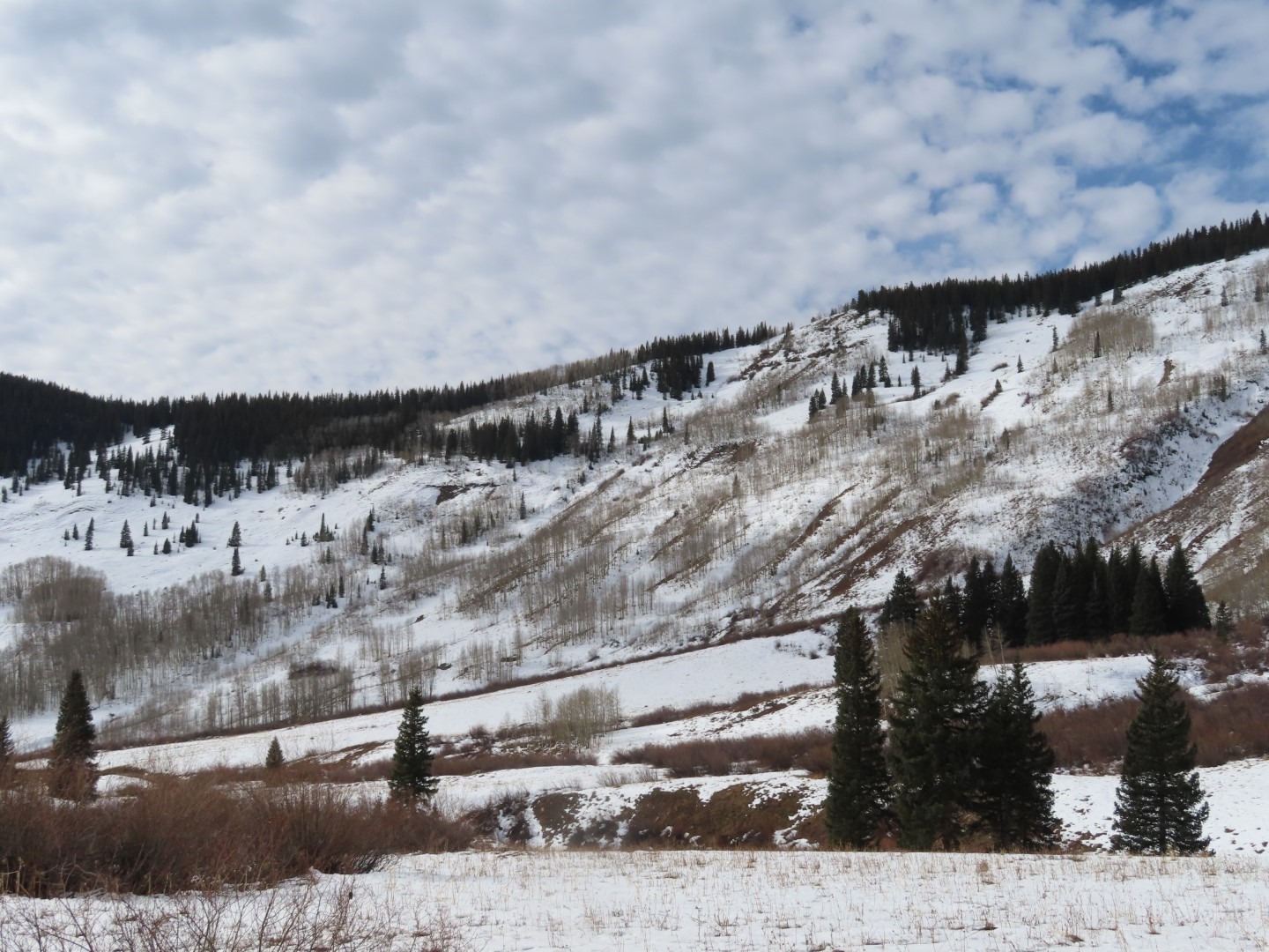
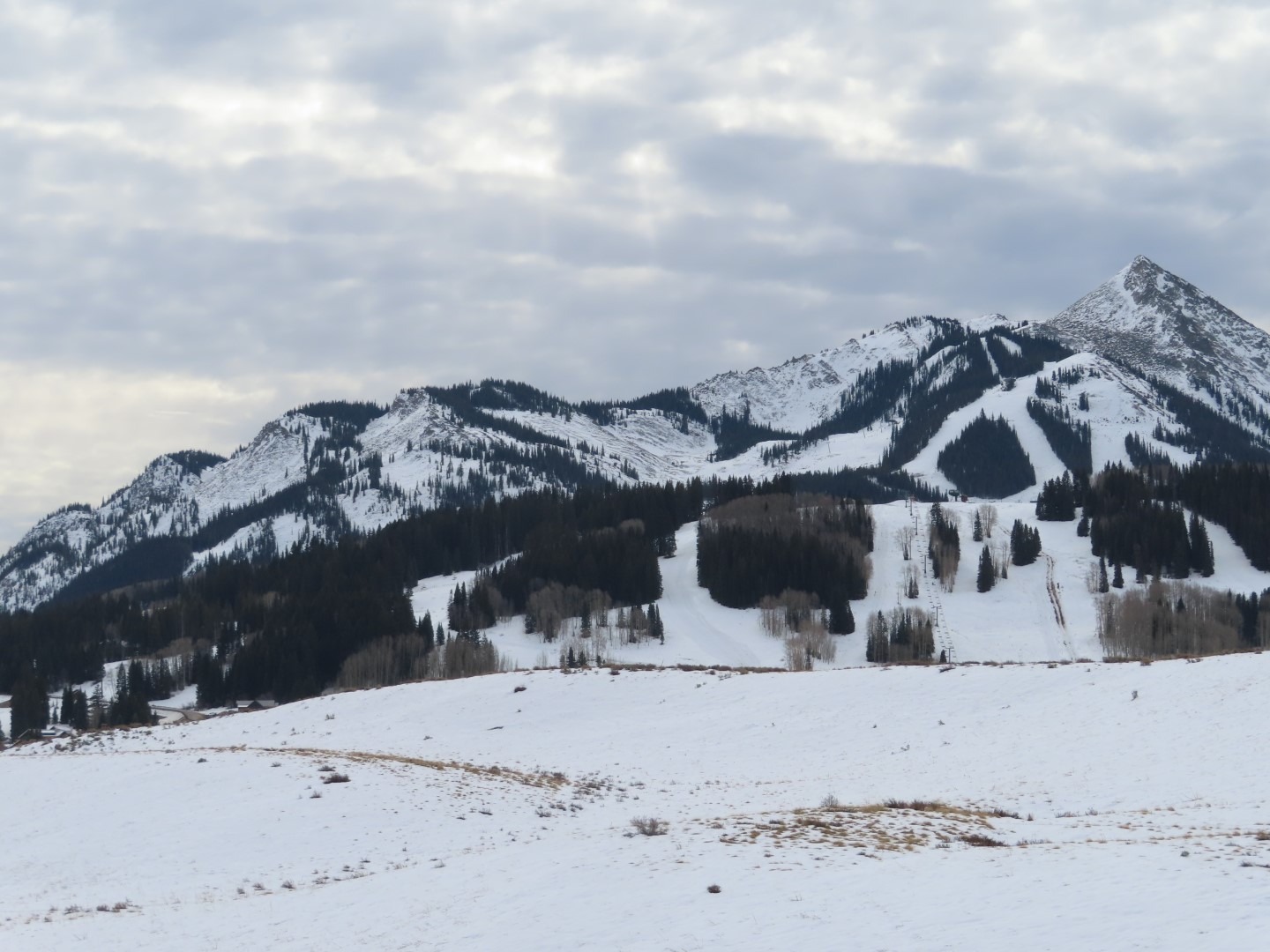
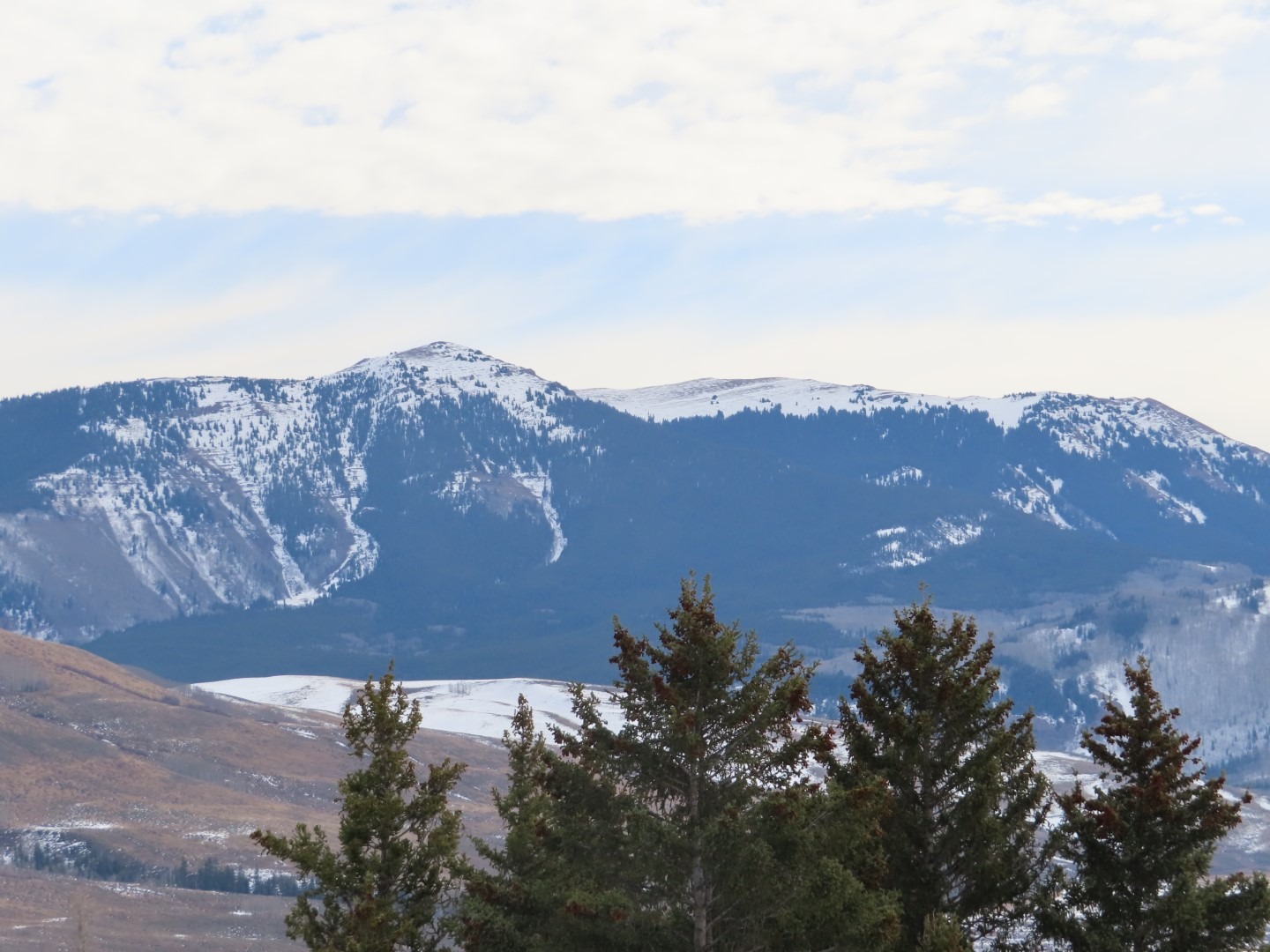
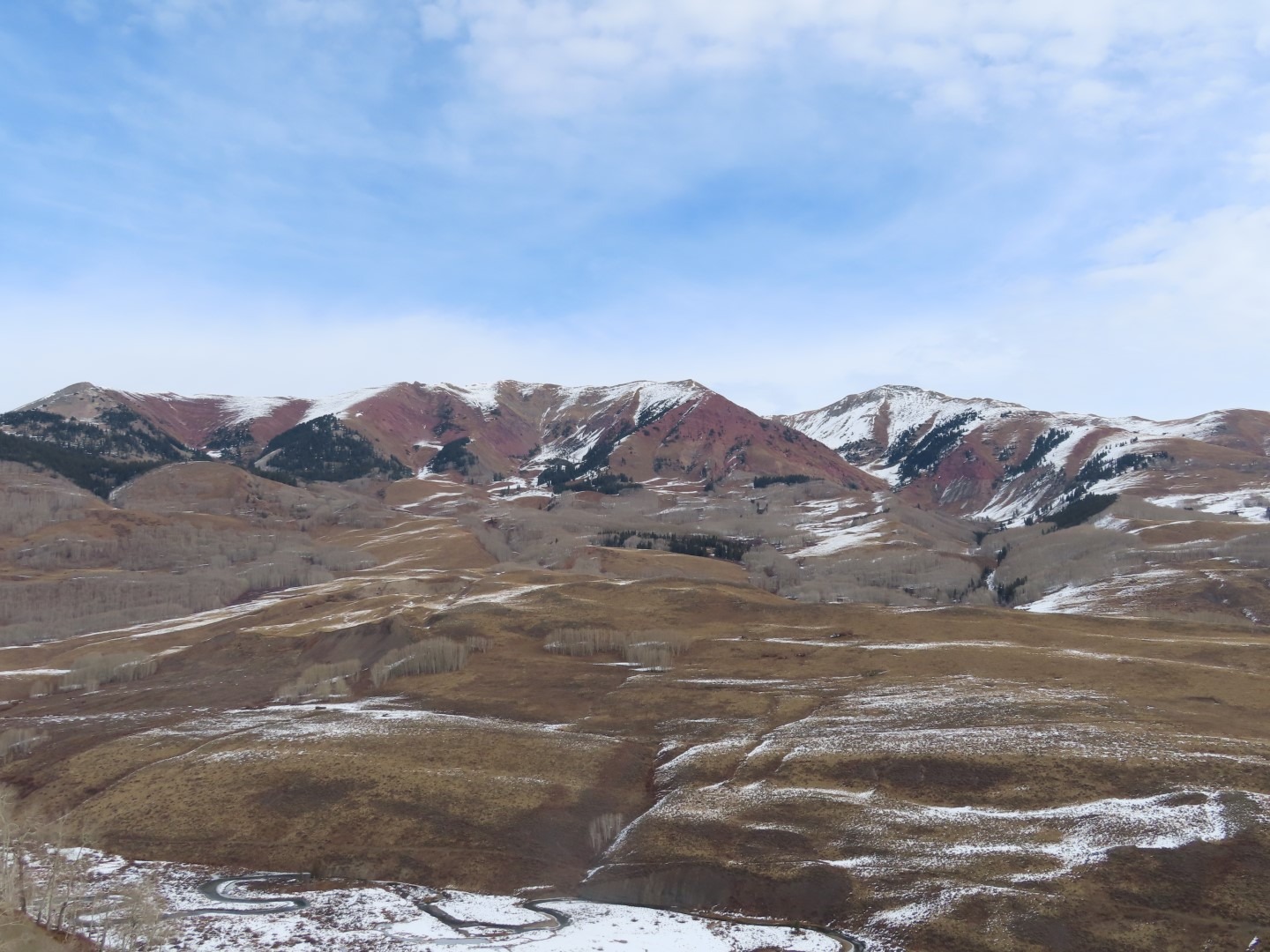
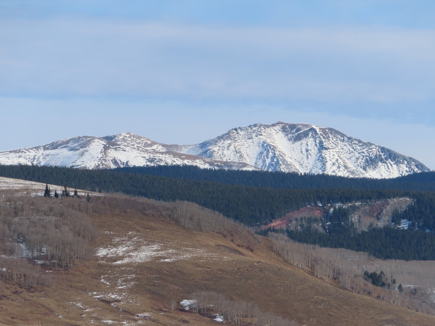
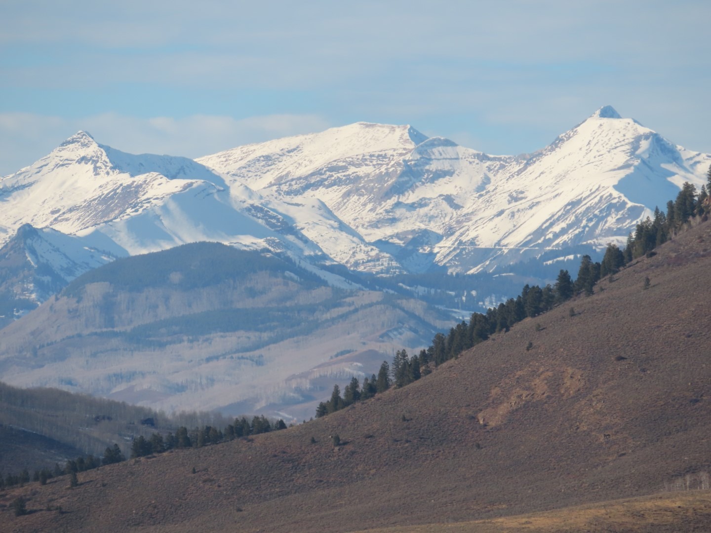
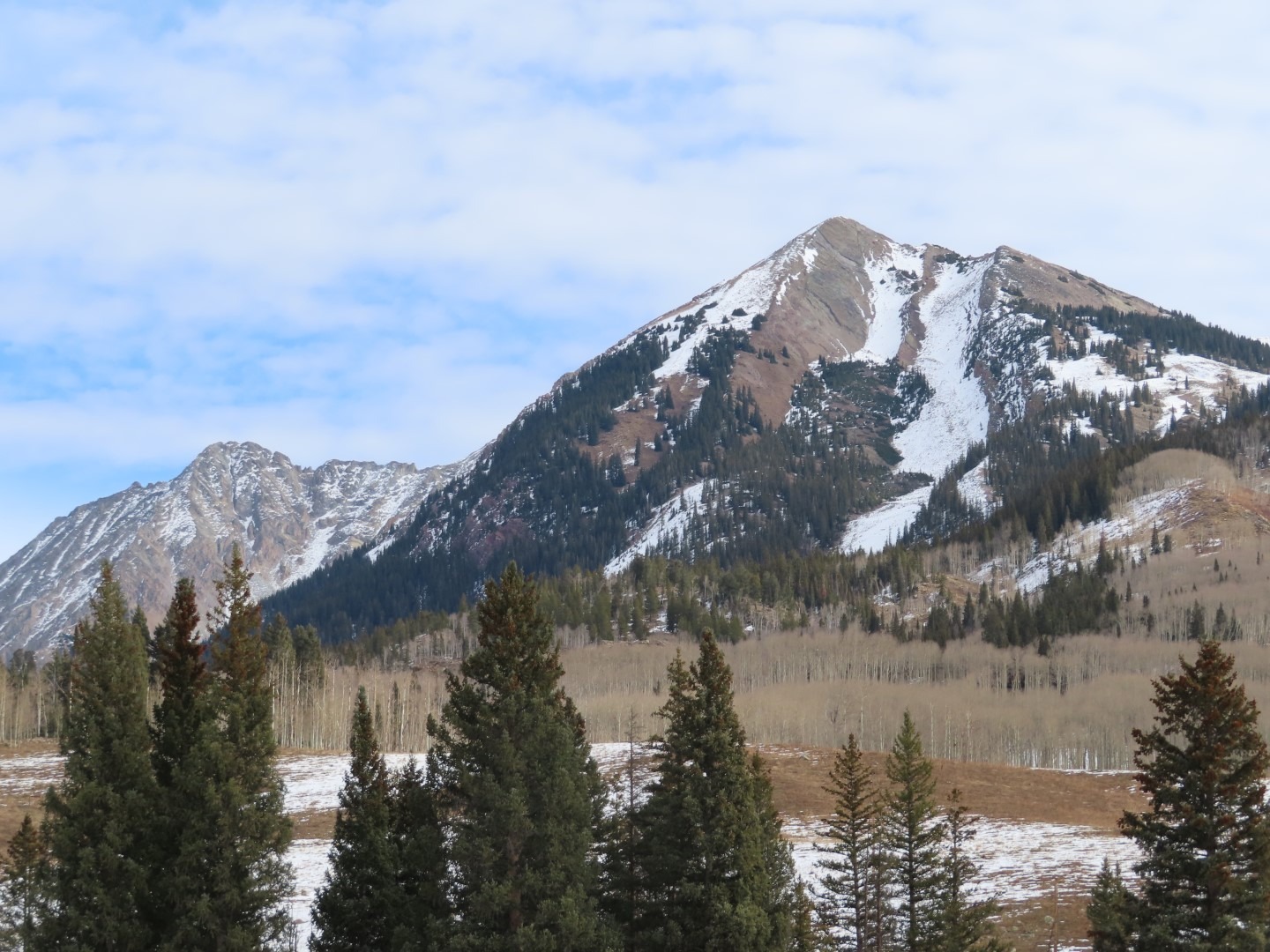
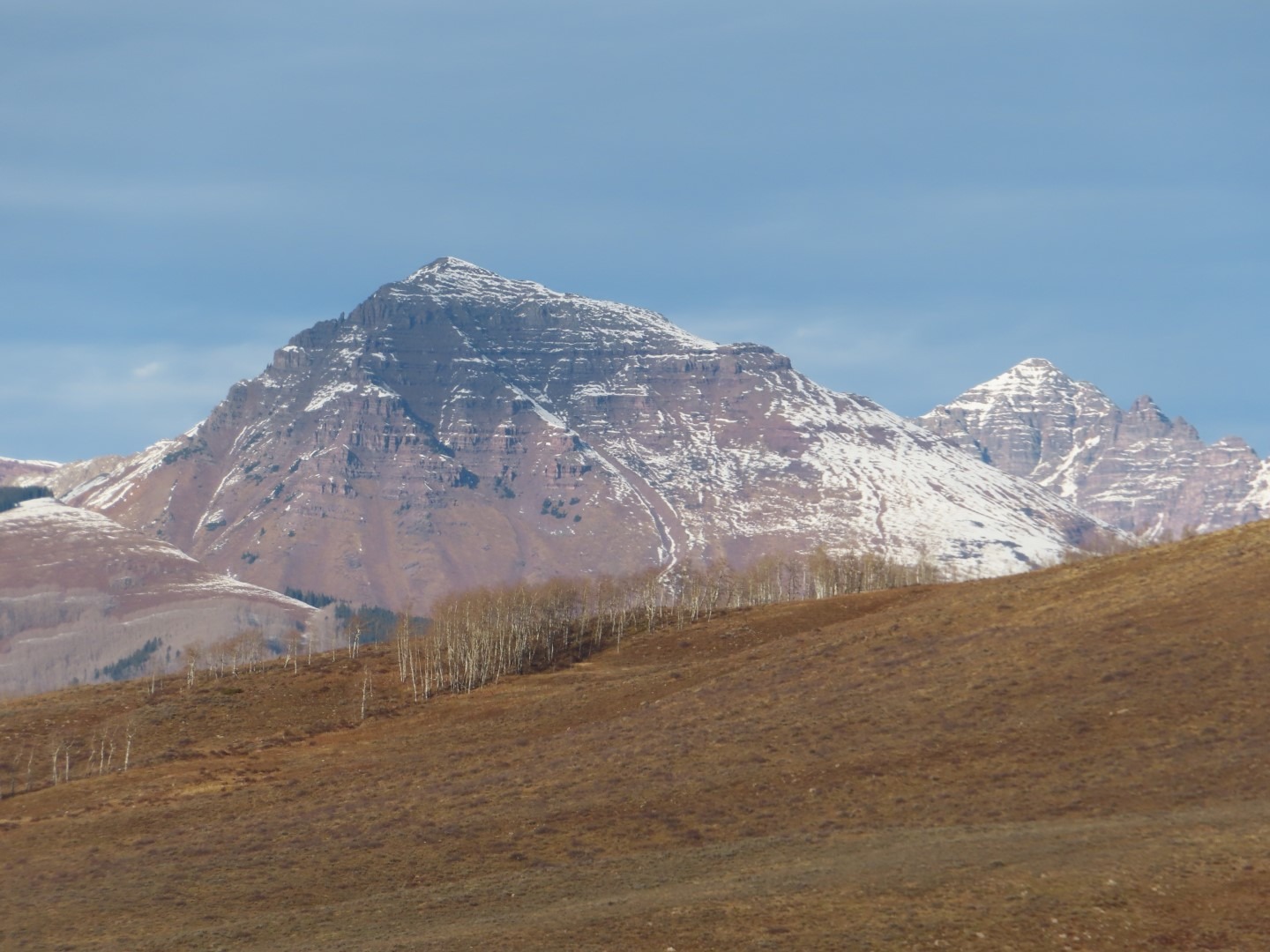
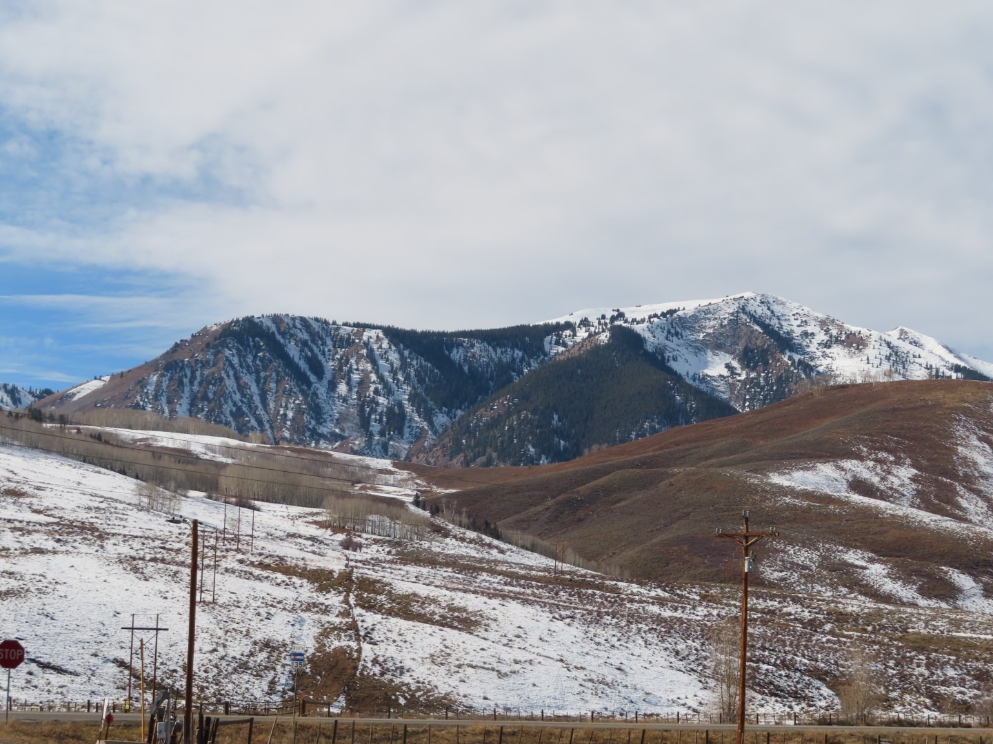
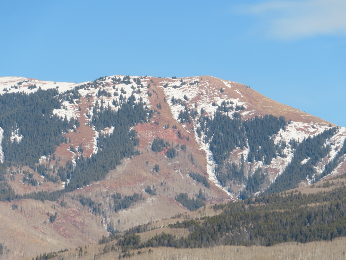
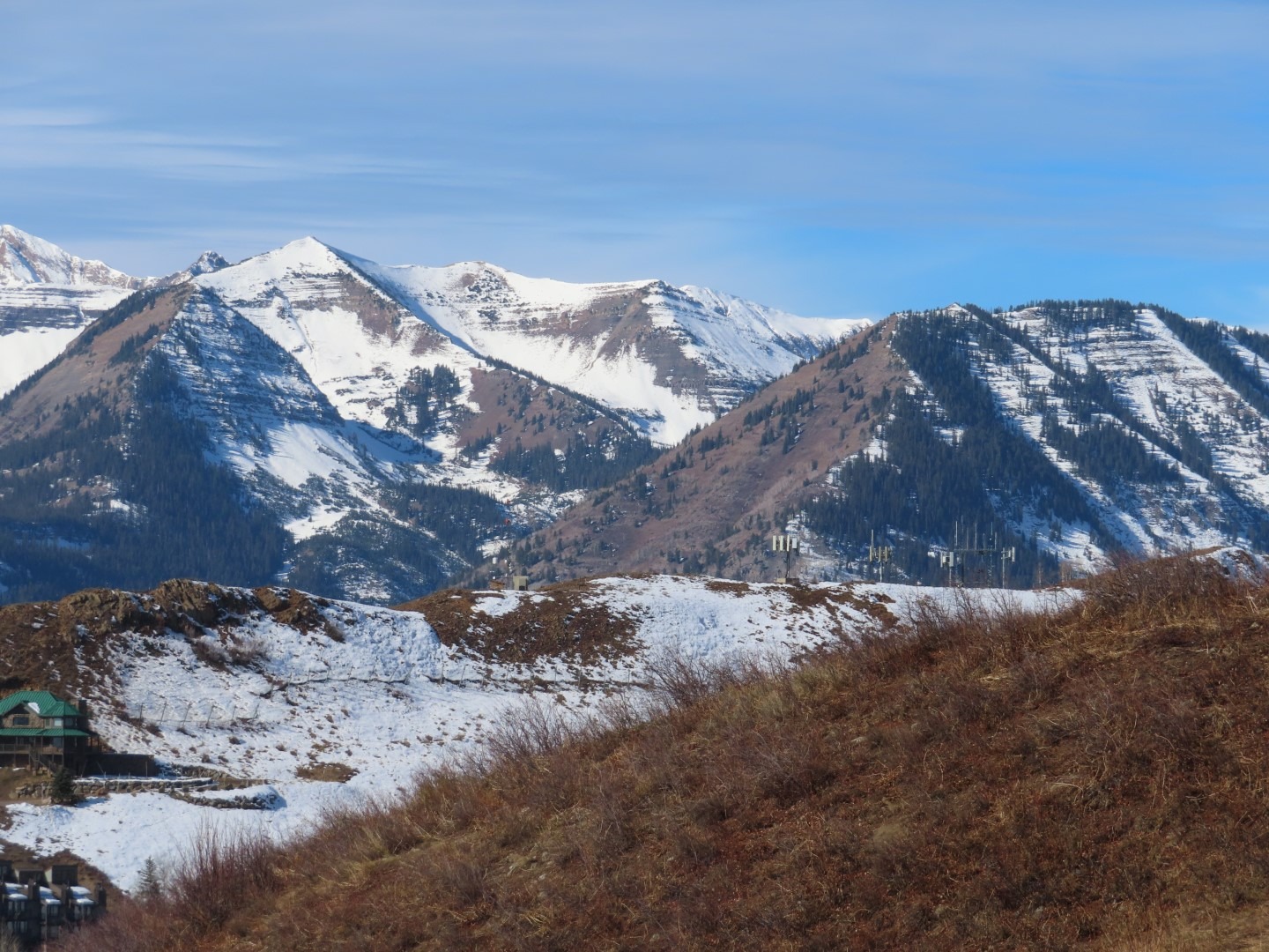
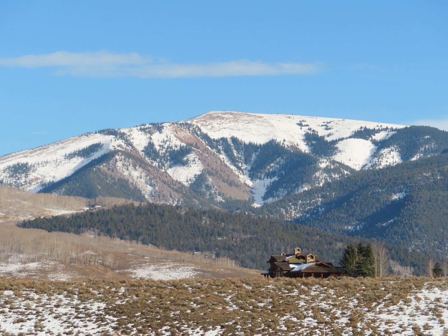
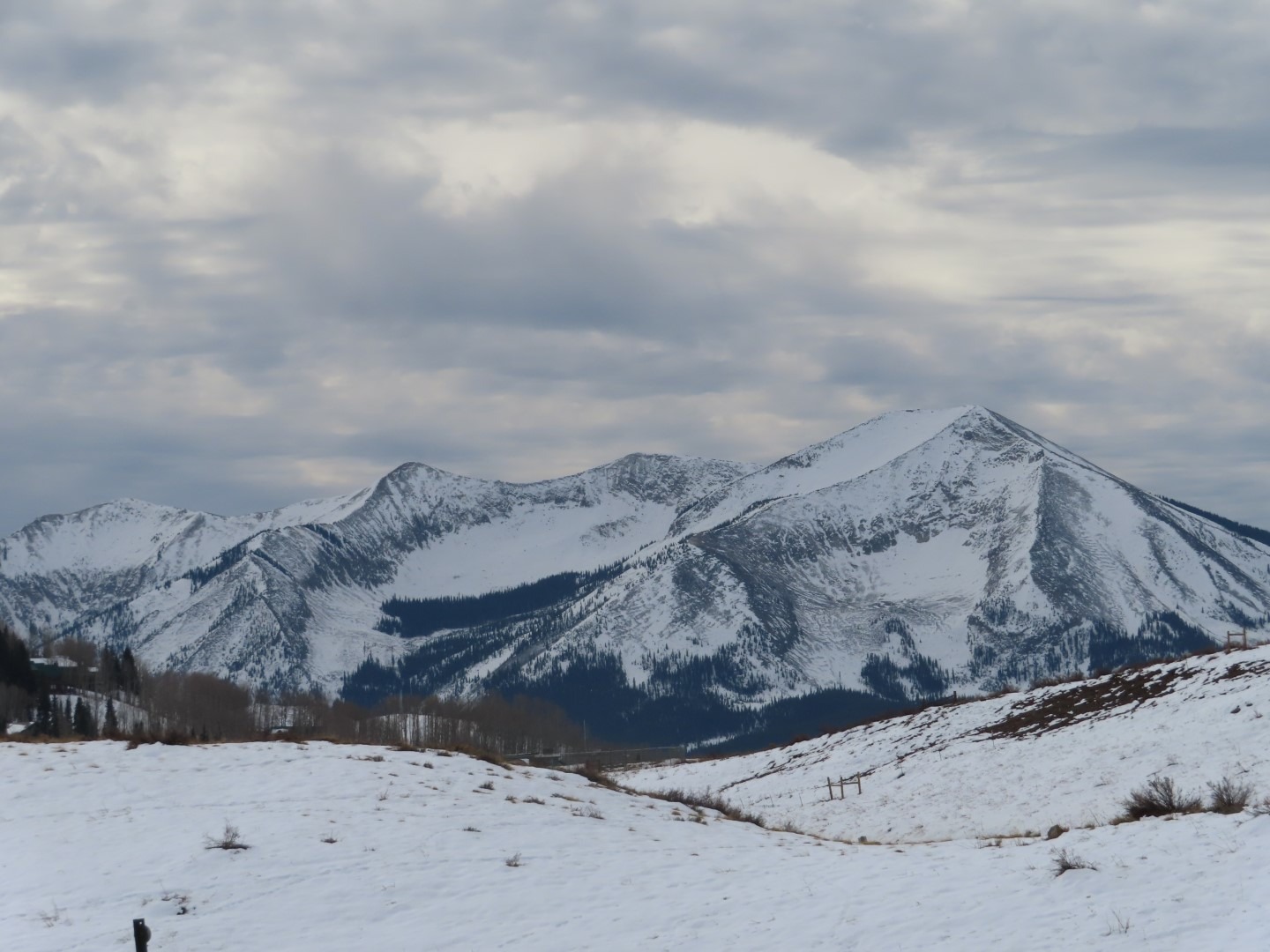
Documenting snow coverage before the upcoming storms. The weakest and most continuous snow coverage is on northwest to east facing terrain. See photos and details below.
Snowpack
North and northeast aspects have a continuous weak layer on most slopes. Weak layer coverage is patchier on higher northwest-facing terrain because of previous wind erosion. West-facing terrain is bare to patchy from melt-out or wind erosion except in the most shaded and protected features such as gullies or behind trees. East-facing terrain has continuous coverage in the alpine and becomes patchier on the hotter or more sun-tilted slopes (ESE) near and below treeline. Steep southeast to southwest facing slopes are generally bare below treeline. At higher elevations on these aspects, coverage varies from bare to patchy to continuous, with more snow coverage in the snowbelt areas and on leeward or more southeasterly features.