
Weather
- Air Temp
- 30
- Cloud Cover
- overcast
- Wind Loading
- previous
- Rain Elevation
- Not observed
- Recent Snowfall
- 3
- Snow Avail For Transport
- small smounts
Overcast skies for the majority of the day with patches of sunlight, no precipitation, light gusts from the SE when traveling along the ridge but otherwise no wind
Snowpack
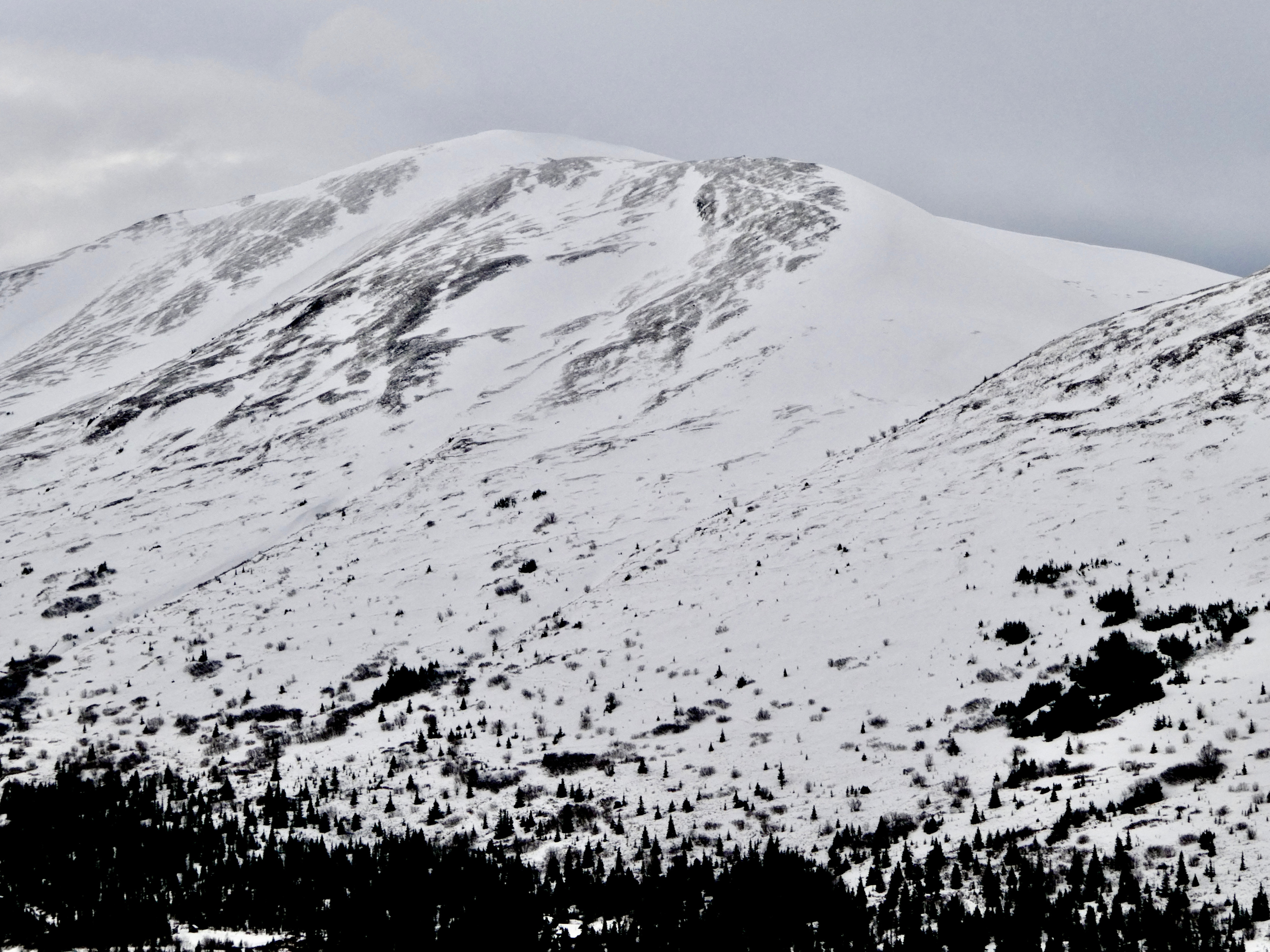
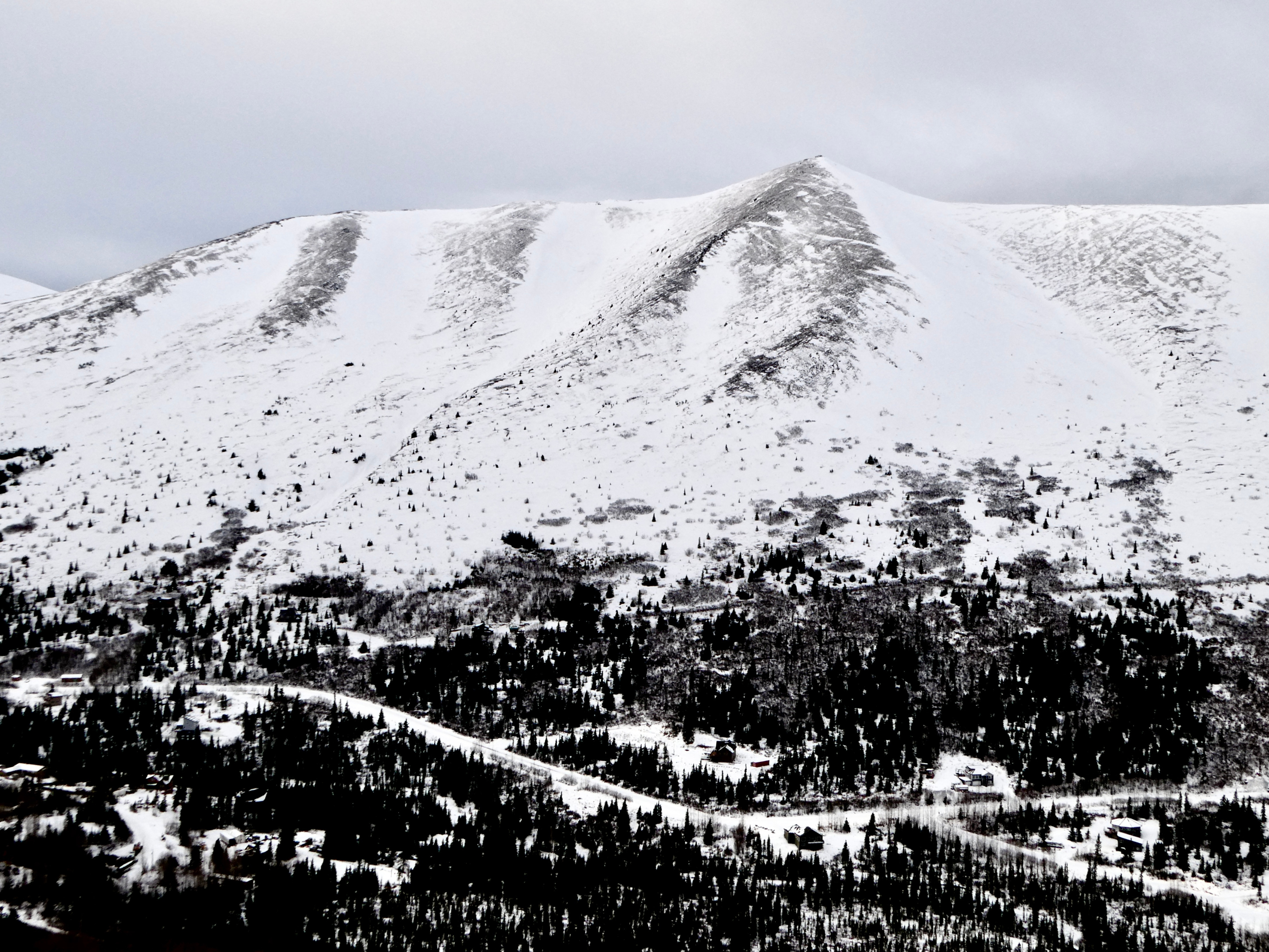
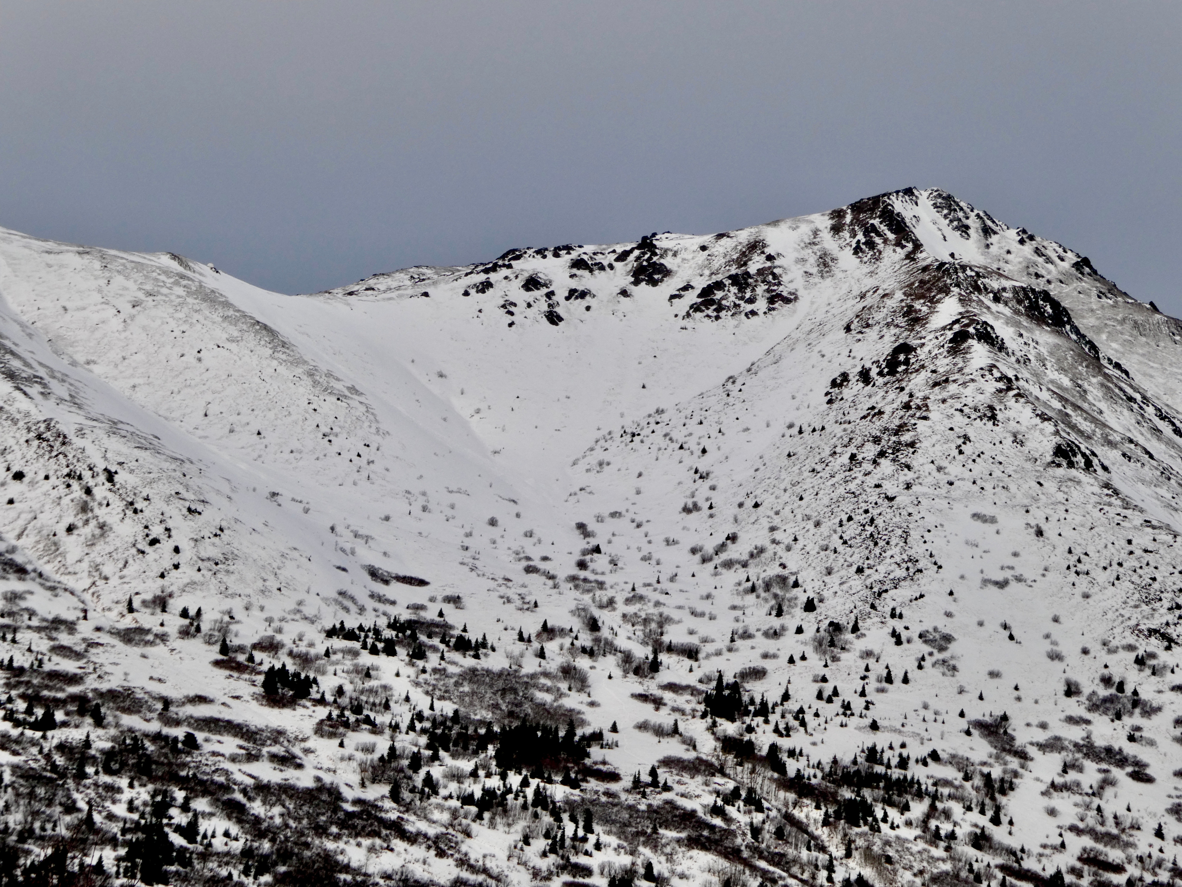
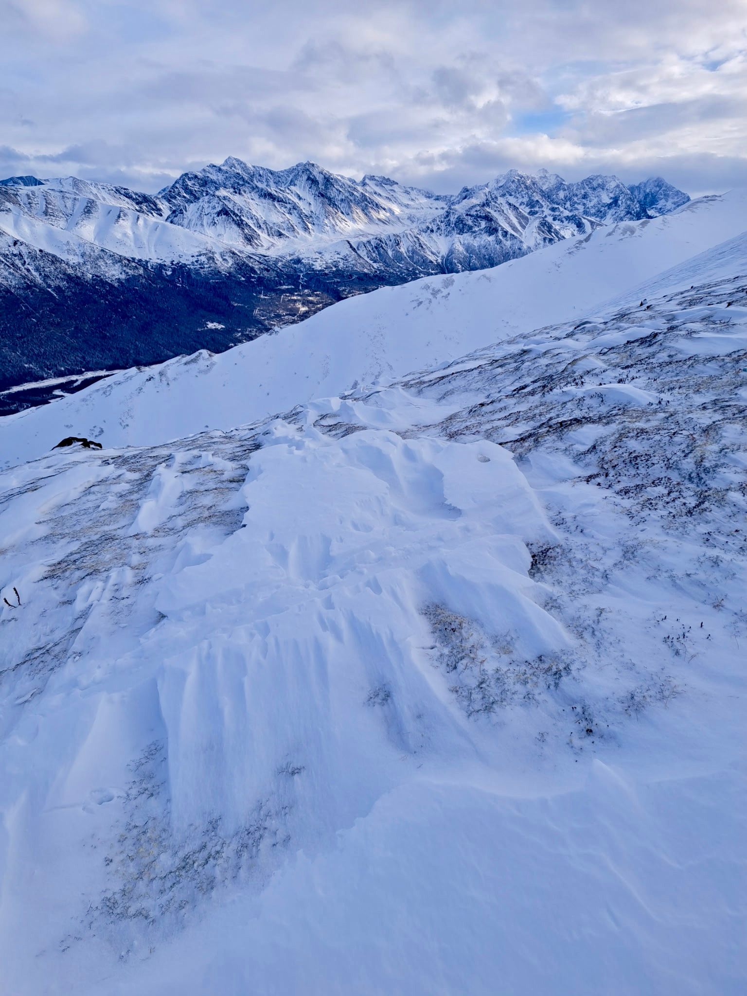
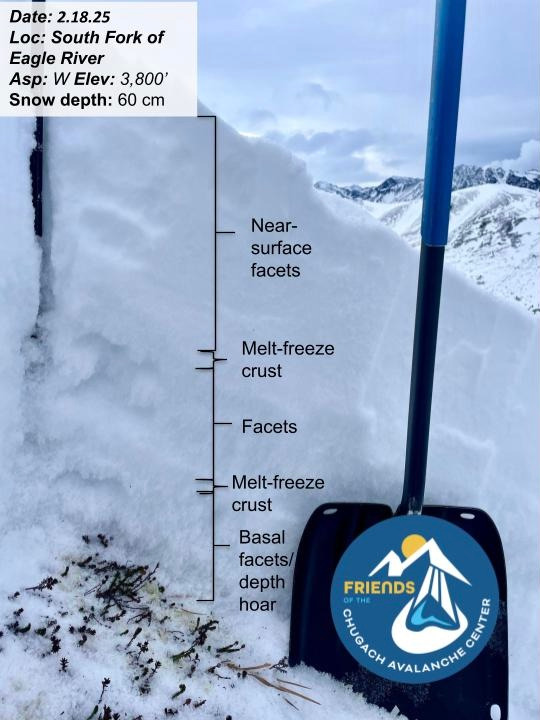
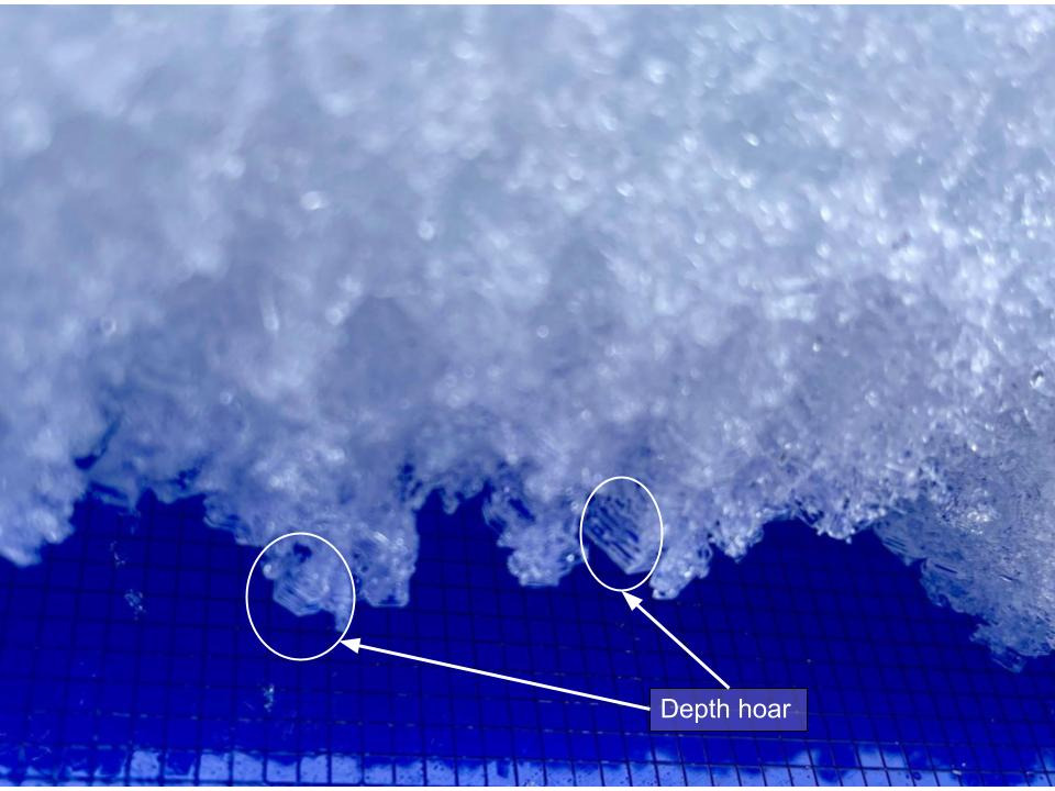
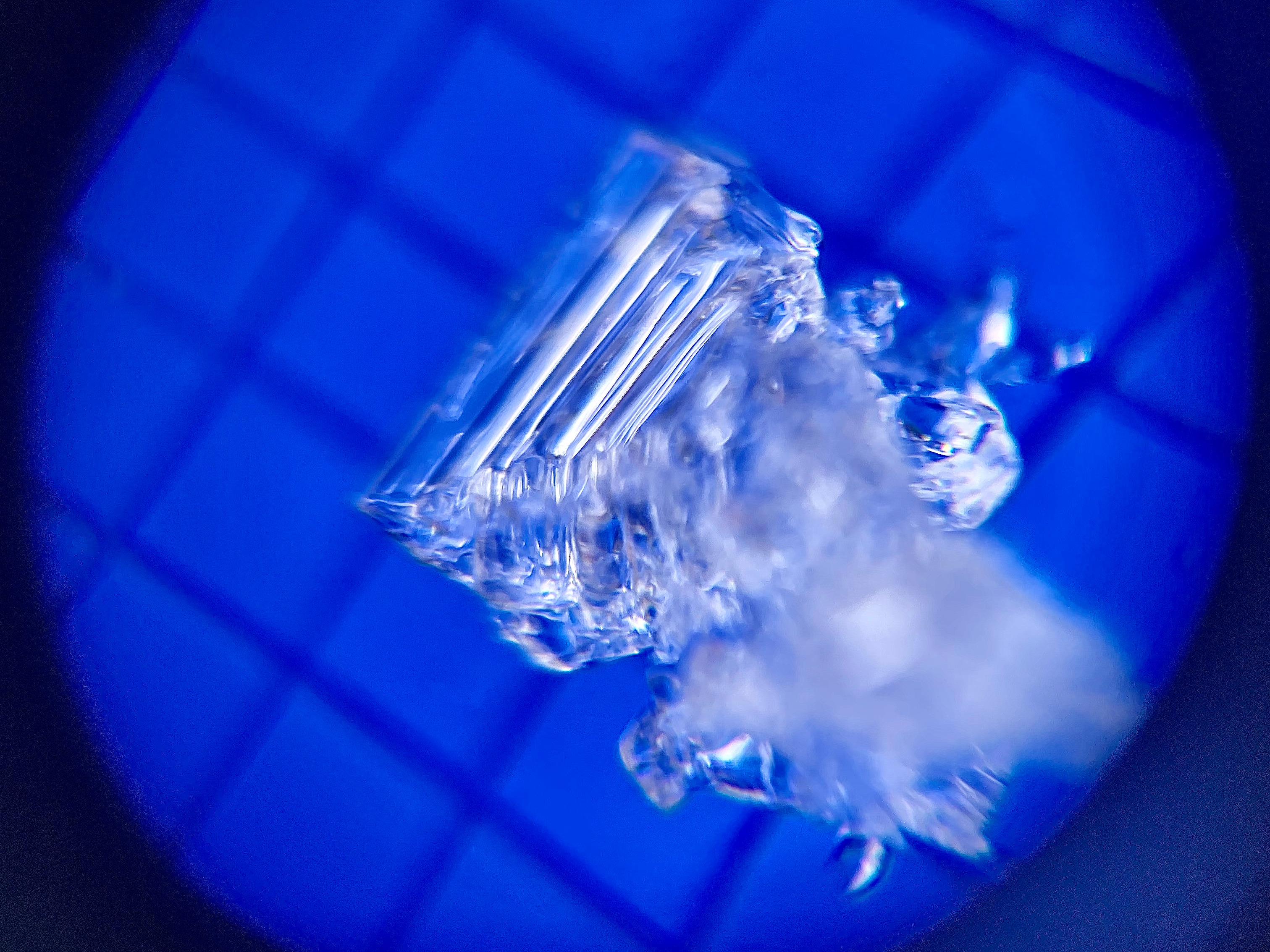
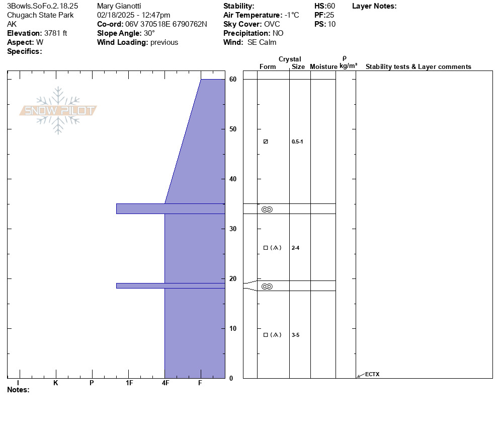
The wind event in the forecast over weekend has scoured the landscape. Snow depth continues to vary from bare ground to 9' of snow in gullies and high alpine bowls. We noticed 1" of new snow in wind-sheltered terrain and rounding happening at warmer, lower elevations. The snowpack structure at lower elevations was mostly rounding facets with two distinct melt-freeze crusts. At higher elevations the structure changed to a harder wind slab over facets with depth hoar. The majority of the snow surfaces had softened because of the long cold, clear weather (the process is called near surface faceting). We also noted that almost half of the snowpack was faceted with developed depth hoar at the base of the snowpack. We got ECTX on our extended column test and suspected that this is because there was not an obviously developed slab or large hardness change in our snowpit. We haven't seen any avalanches on the weak layer of developed basal facets/depth hoar at higher elevations, but it is a weaker layer of snow in the snowpack and something that we are continuing to monitor (especially with we get any major loading events- it's not a strong base). The most common way to trigger an avalanche in the Chugach State Park continues to be a fresh, shallow windslab.