
Quick report
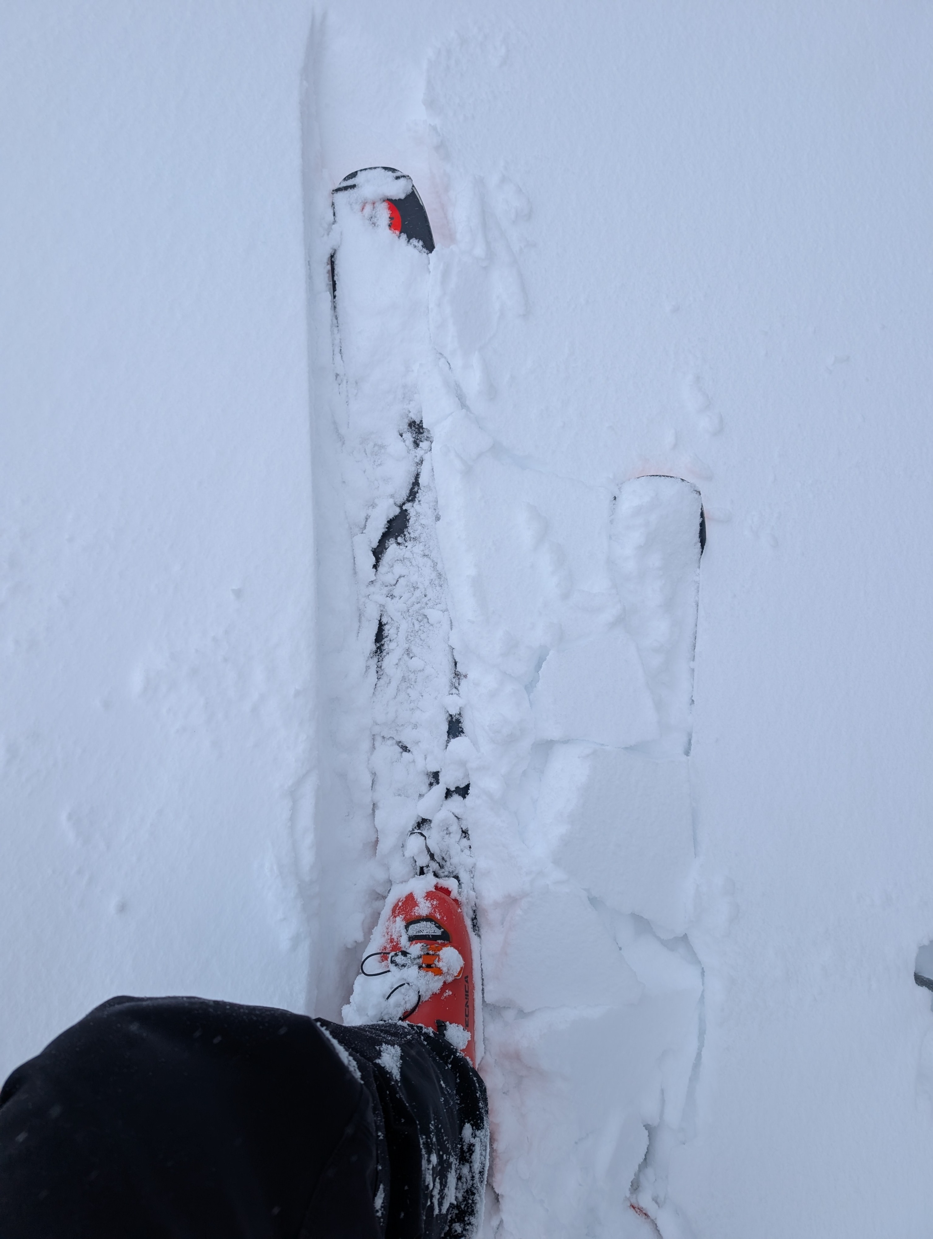
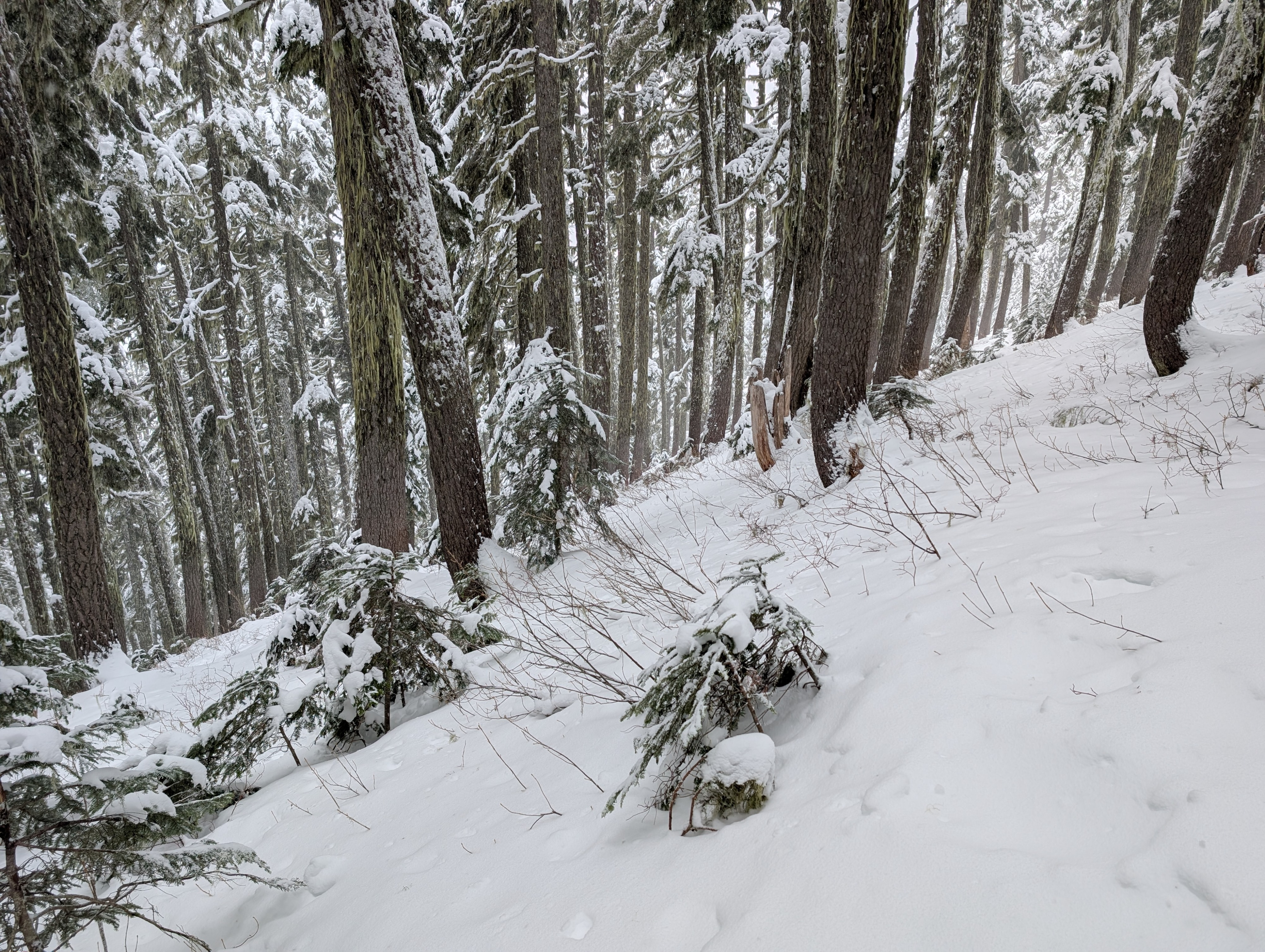
I took a quick walk to the top of Kendall Trees this morning before forecasting. Overall, the snowpack is still thin, but manageable. Willows, trees, roots, creeks, holes are still everywhere, but at least you can travel up and downhill mostly on skis. It would be tough going on a sled right now.
On the upper slopes at the top of the trees, wind effect was obvious with textured surfaces, firmer wind-stiffened snow, and small drifts behind objects. Winds were not overly aggressive, but certainly gusty and strong enough to move snow around.
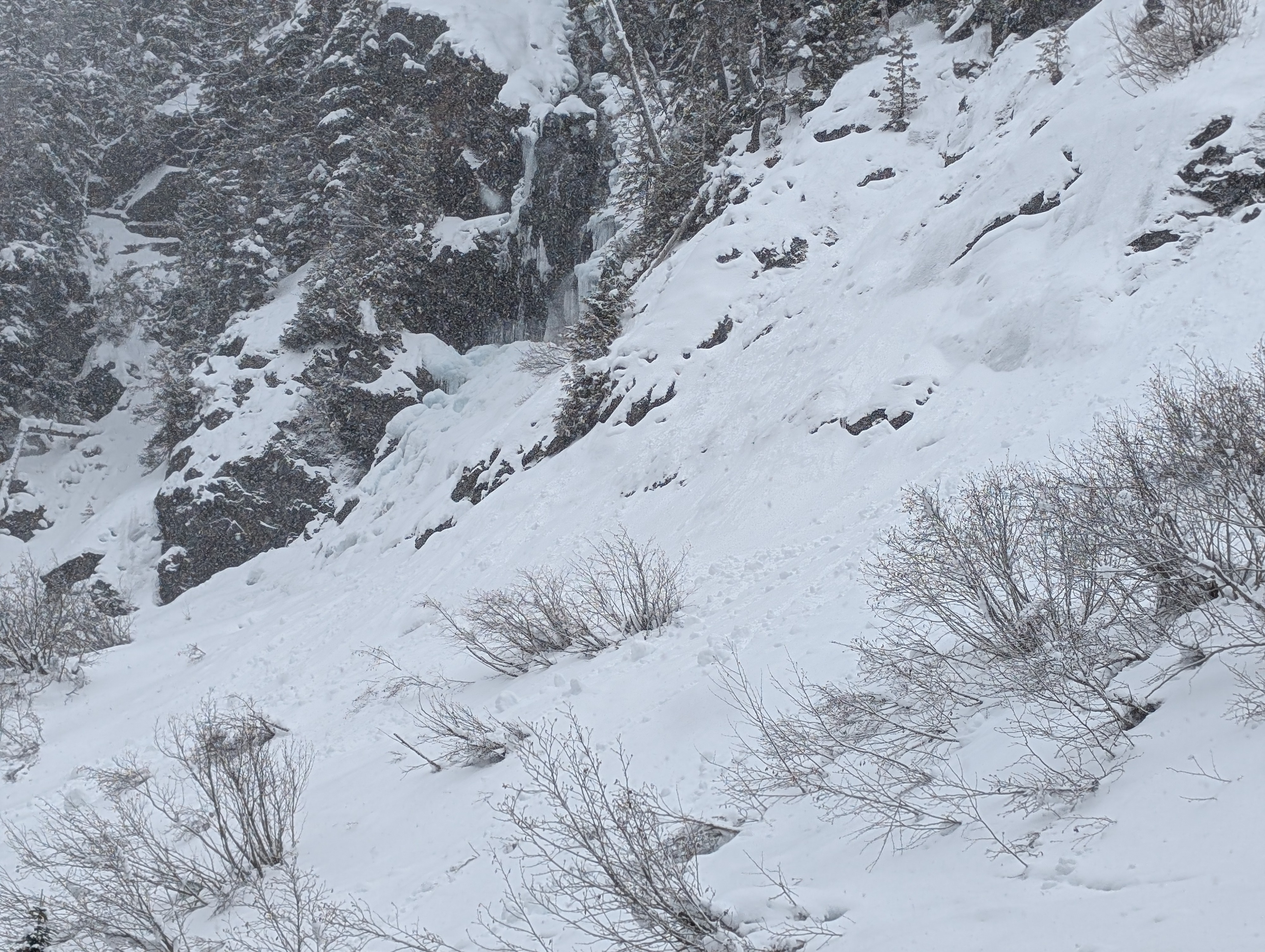
No new avalanches were observed, but I did note some rollerballs and wet activity near the waterfall, as usual. Temperatures were relatively warm and almost reached snain category down low as I made my way back to the truck.
No large red flag signs of instability were noted.Weather
Cloudy with showers most of the morning. The precipitation was mostly snow, but by the time I got back to the truck around noon, it was certainly warm and moist. Winds were gusty.
Snowpack
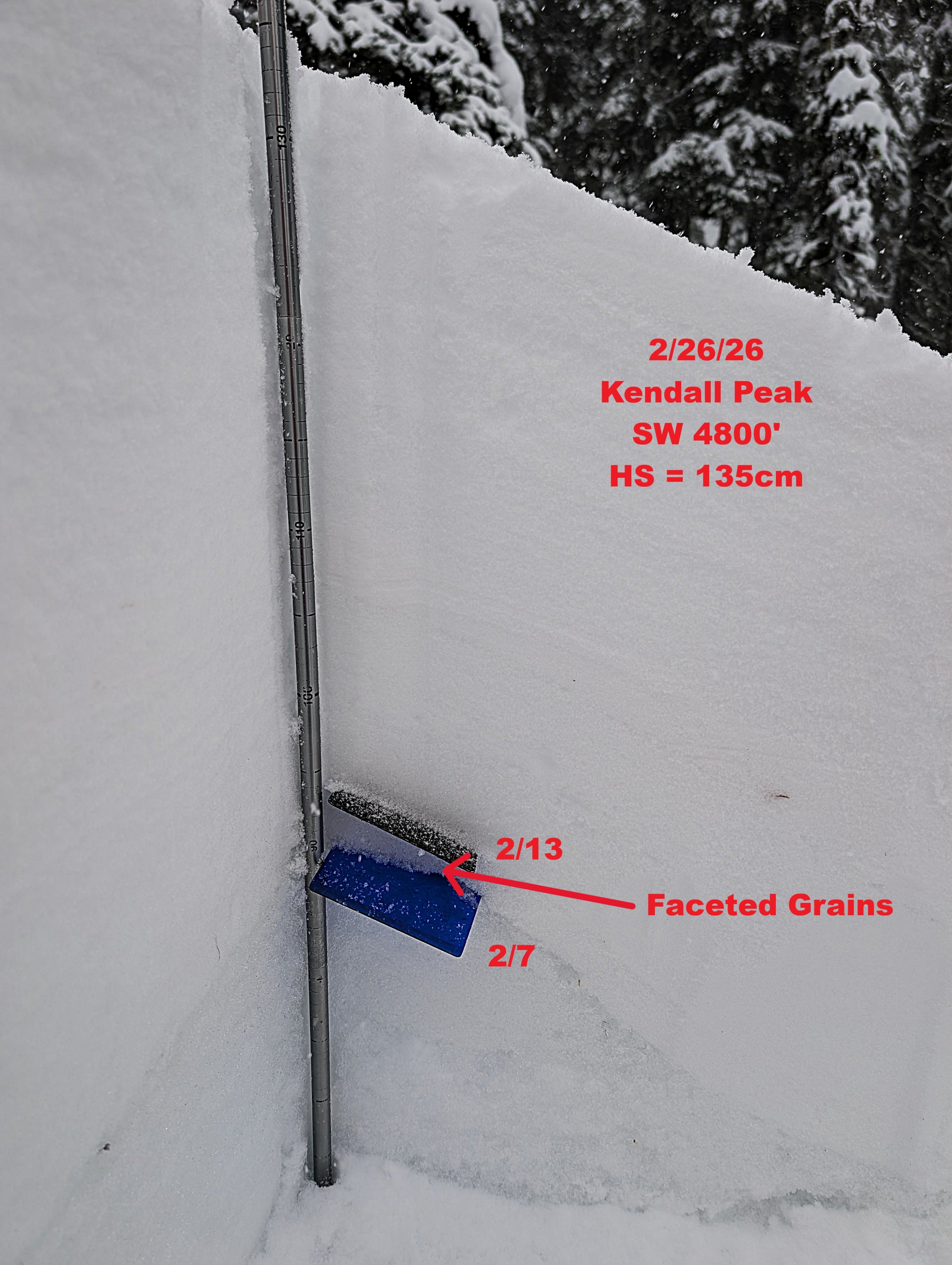
At the top of Kendall Trees, I found a height of snow of 135cm with our persistent weak layers down 40 cm (2/13) and 45cm (2/7). Between them are faceted grains that show some signs of rounding.
The 2/13 was discernible, but did not have the large, easily identifiable surface hoar I have seen elsewhere. That could be a function of elevation (4800'), aspect (SW), or healing. It's hard to say without more holes in the ground.
The 2/13 was highlighted in small-column tests as a potential point of failure, but no significant results were observed during large-column tests.