
Quick report
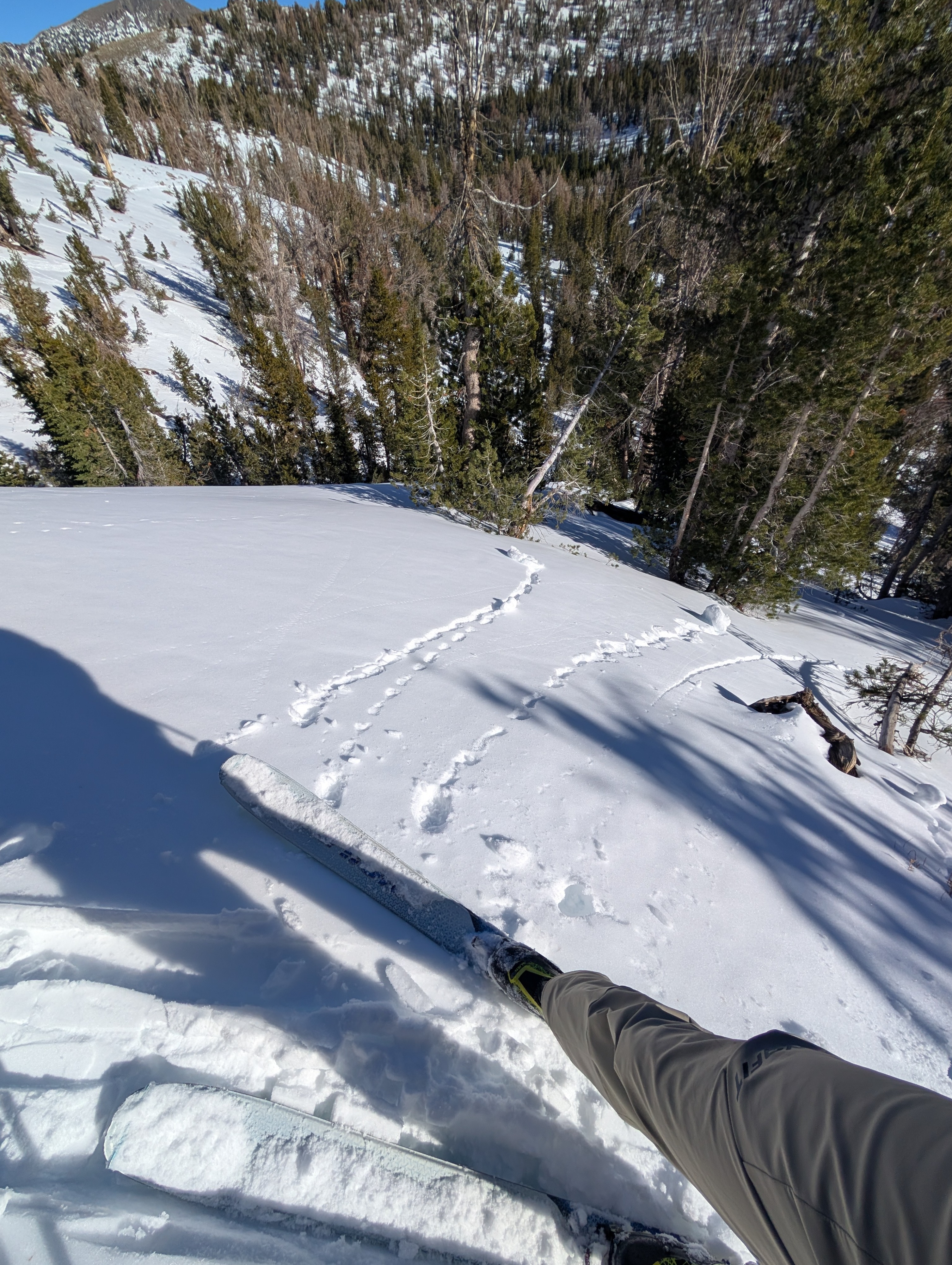
Returning to Relay Peak today allowed us to see what has changed since we last visited the area on Nov 24. Like other areas, the snowpack seems to have adjusted to its current load. The only signs of instability that we saw were a few insignificant pinwheels of wet surface snow on sunny slopes.
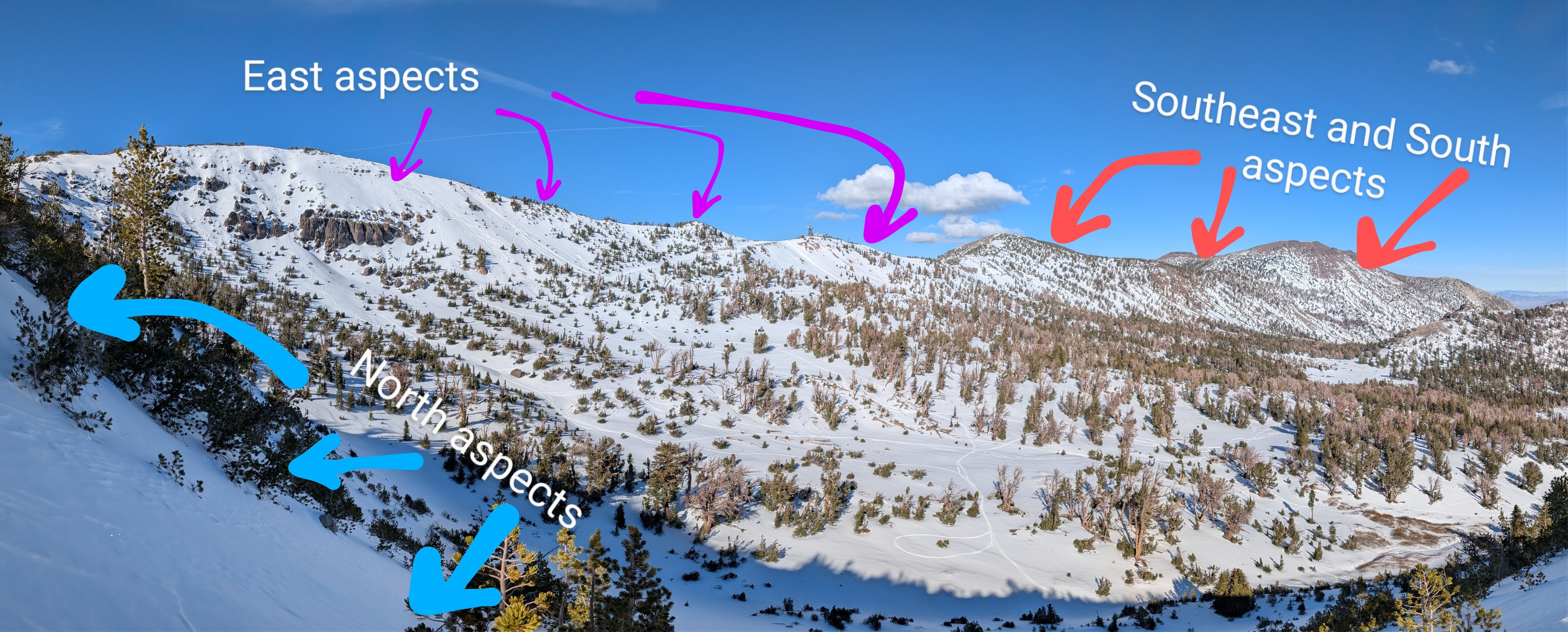
More exposed rocks, bushes, and other obstacles represented another noticeable change since our last visit. Snow surfaces remain variable, with sun crusts wet snow on sunny slopes, and colder, softer snow on shady slopes.
Weather
- Air Temp
- 42 °F
- Cloud Cover
- clear
- Snow Avail For Transport
- moderate amounts
The spring-like weather continues with warm temperatures and sunny skies.
Snowpack
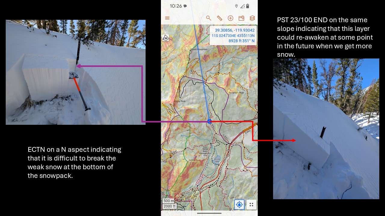
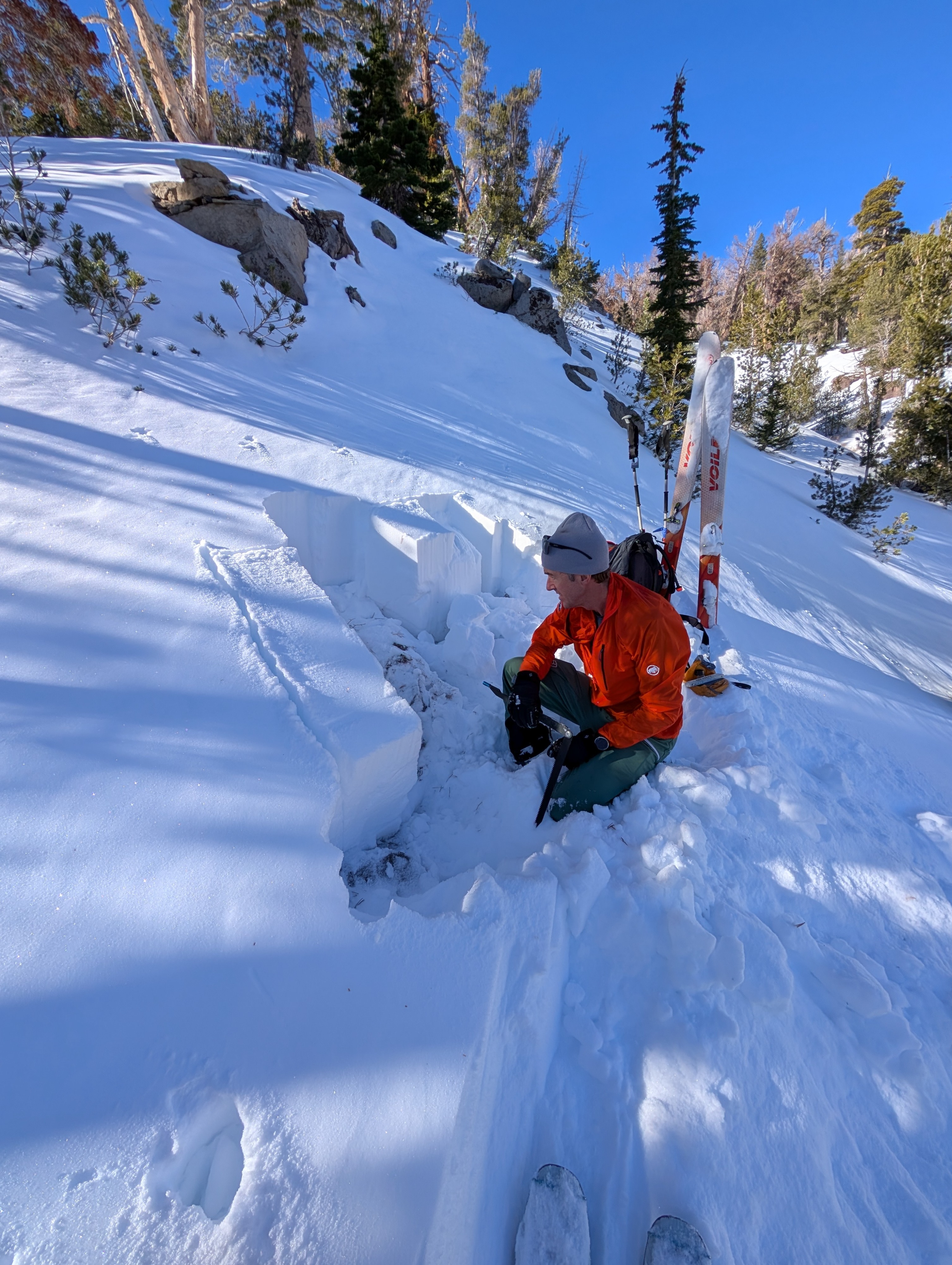
While weak snow still exits at the bottom of the snowpack, tests and observations indicate that the weak layer has adjusted to the load above it, and breaking the weak layer has become unlikely (ECTN x 2). Tests also indicated that this layer could re-awaken in a future loading event (PST 20/100 END and PST 23/100 END). The weak layer primarily exists on northerly aspects above 8500 ft in this area.