
Quick report
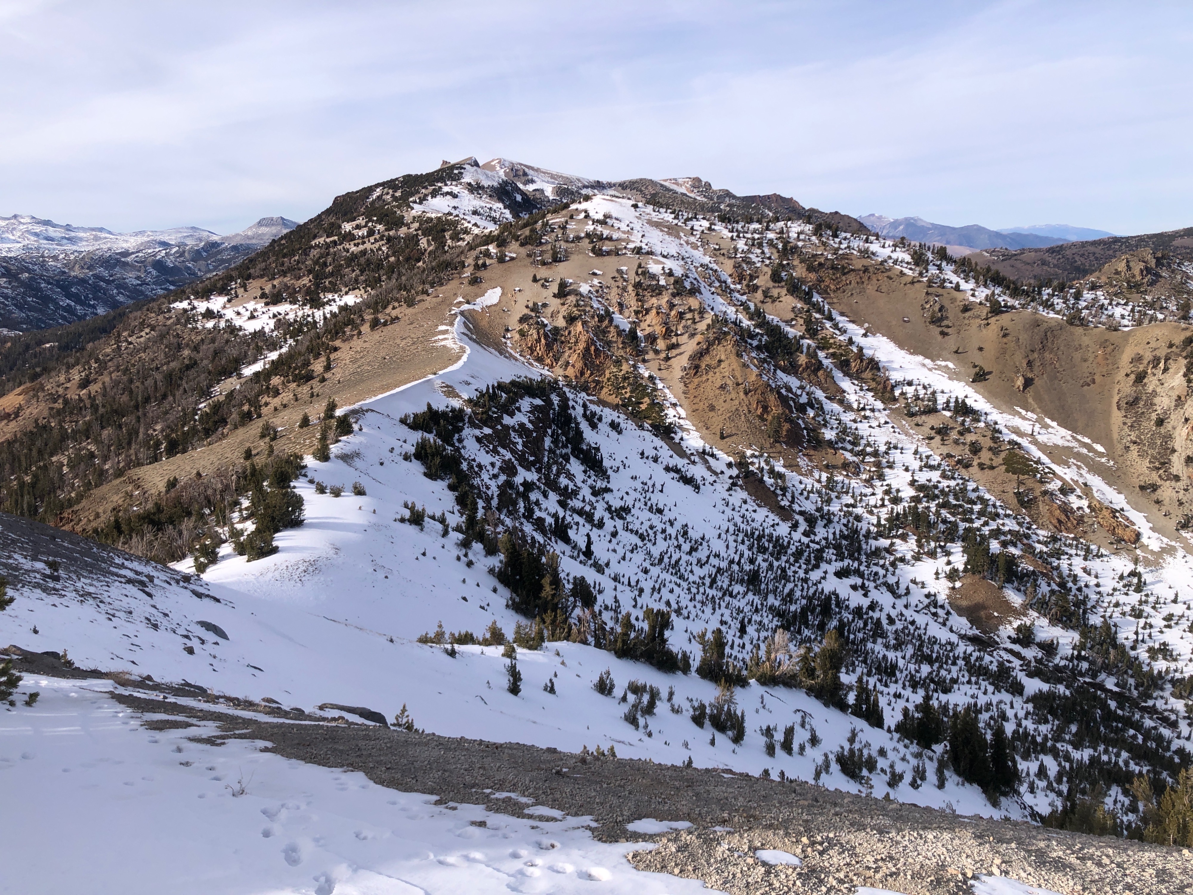
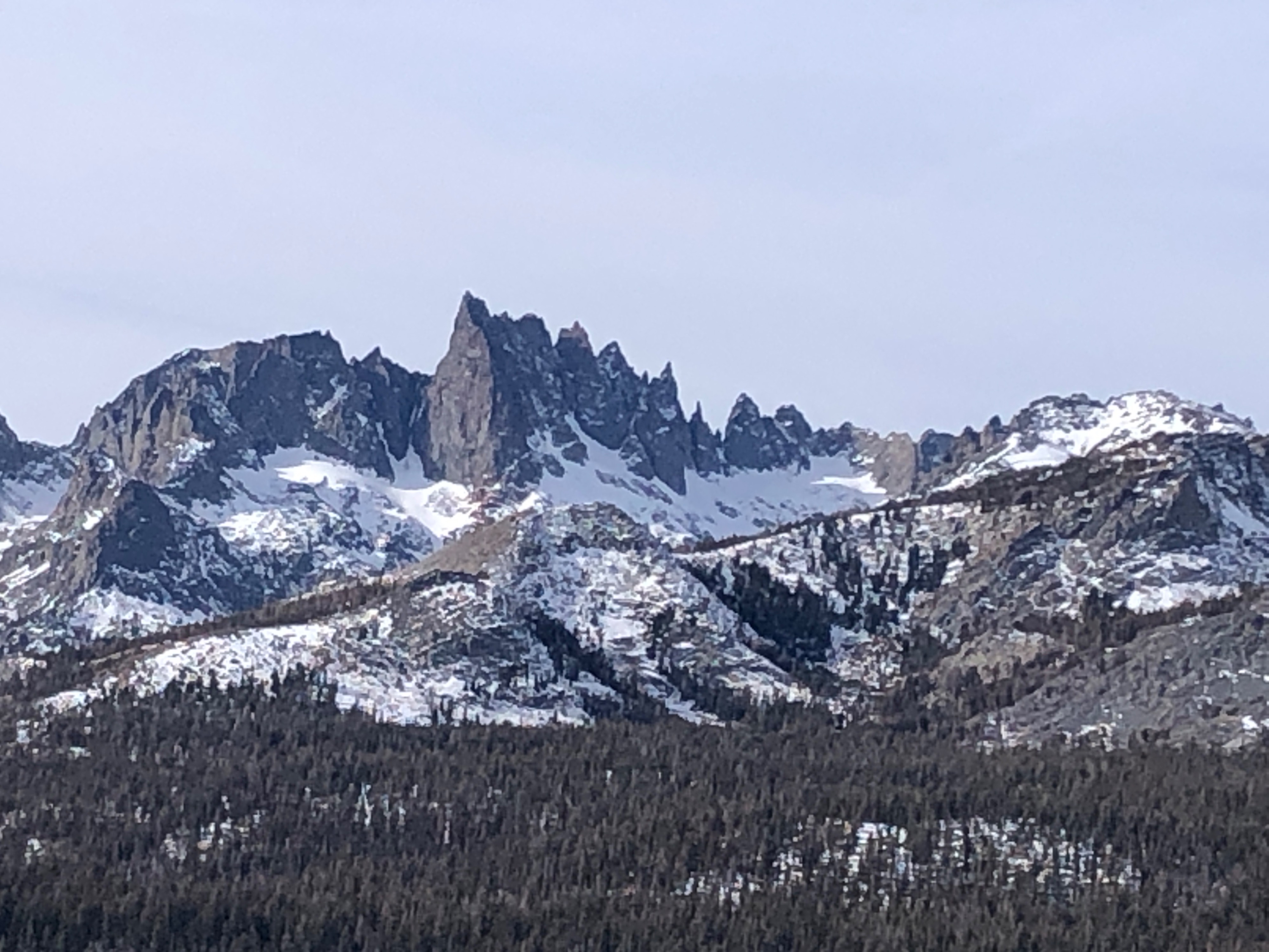
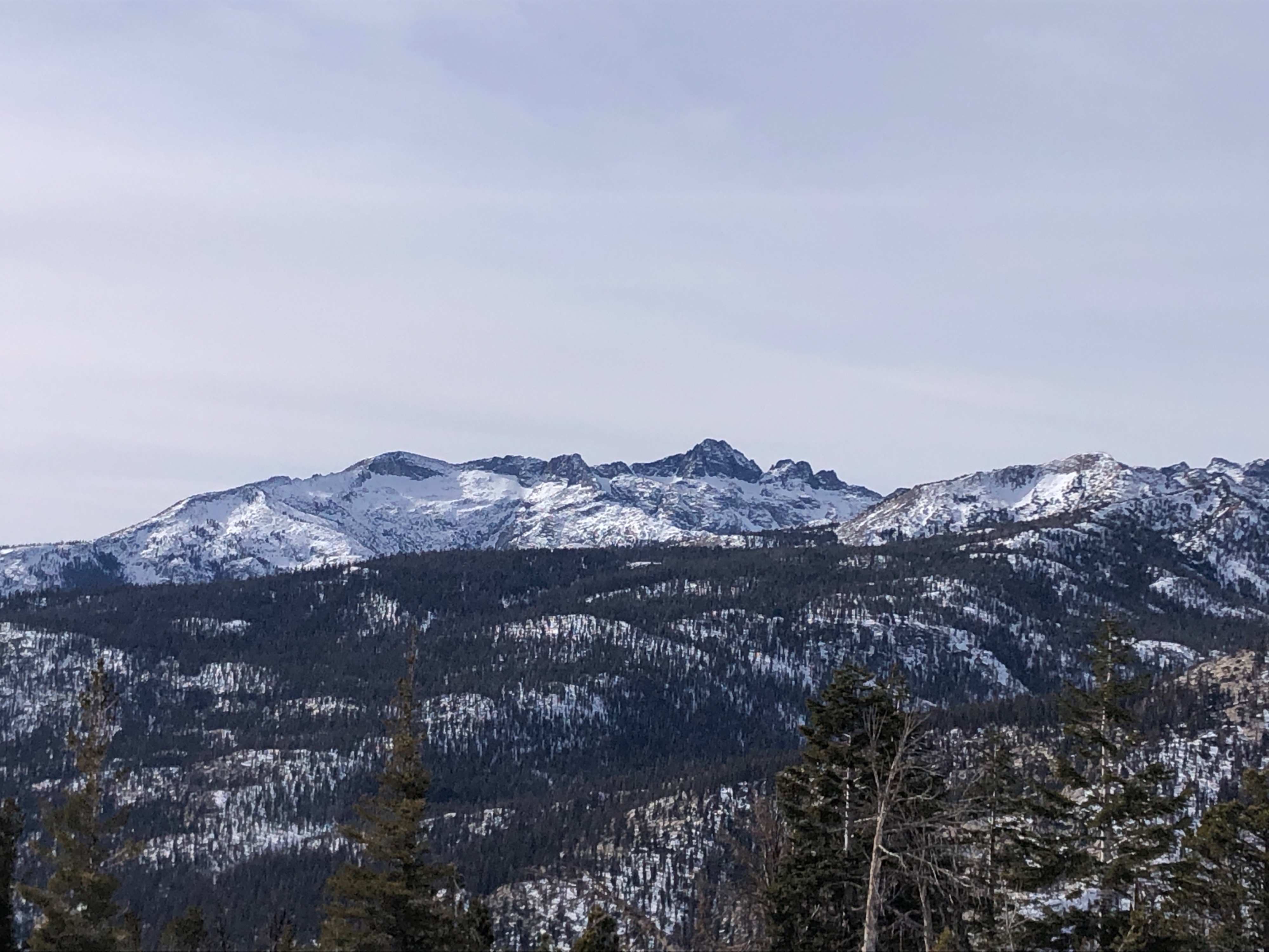
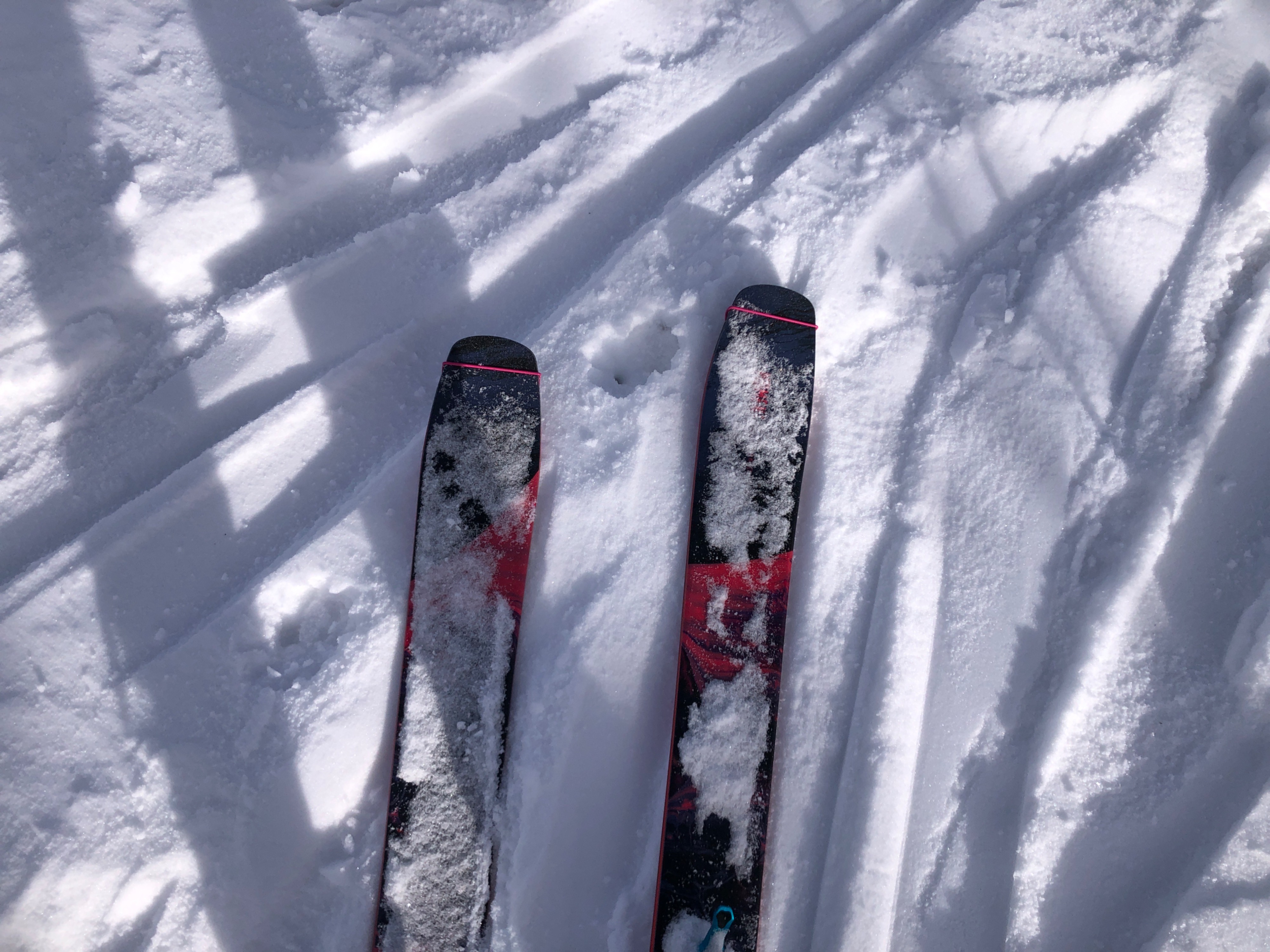
Forecasters headed out the San Joaquin Ridge from Minaret Vista today to evaluate snow coverage and snowpack structure.
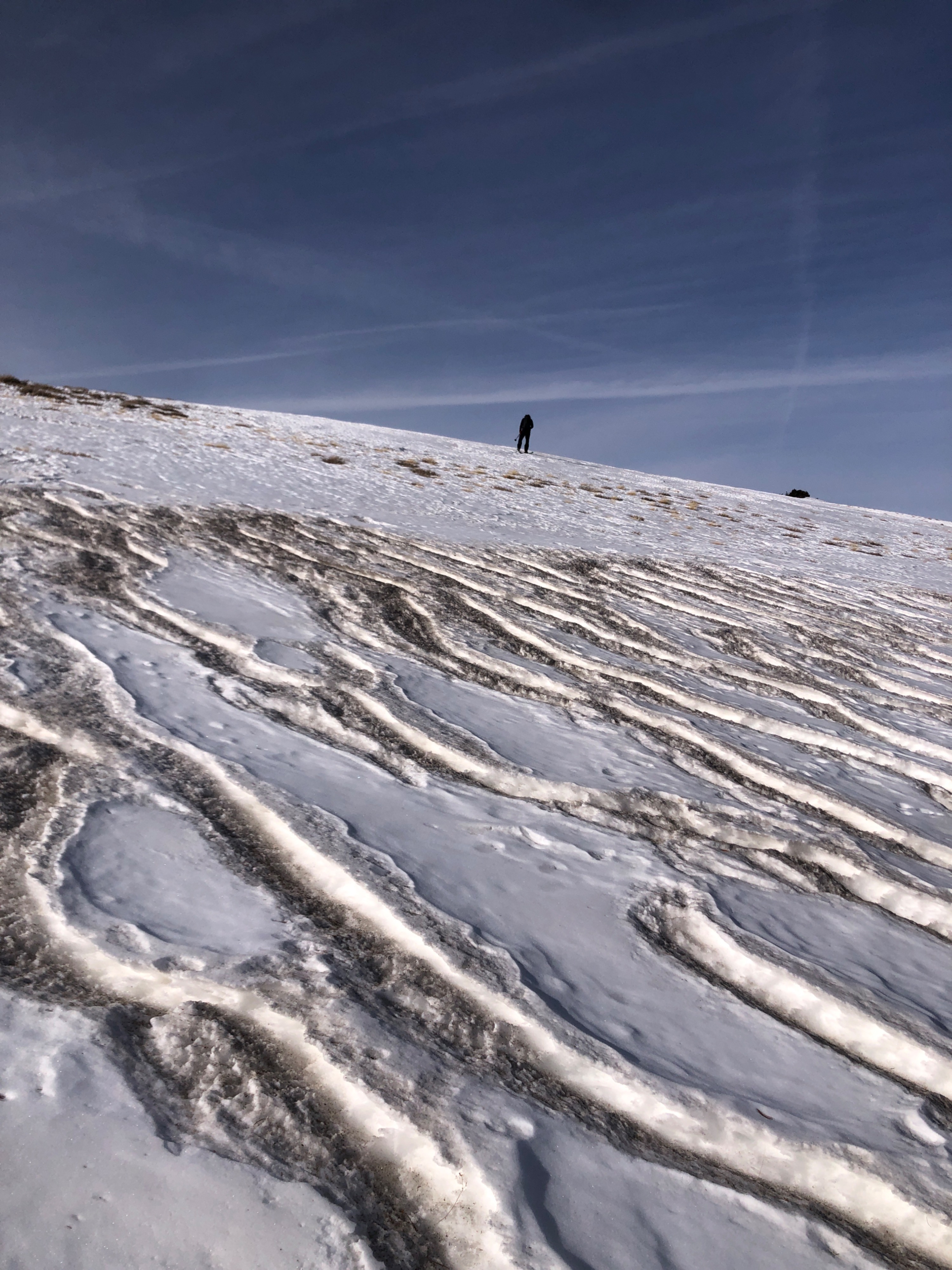
- The extended stretch of dry weather in early December has made already patchy early-season coverage more difficult to navigate.
- The bowls around Deadman Pass on the eastern side of the San Joaquin ridge have mostly continuous but very thin coverage.
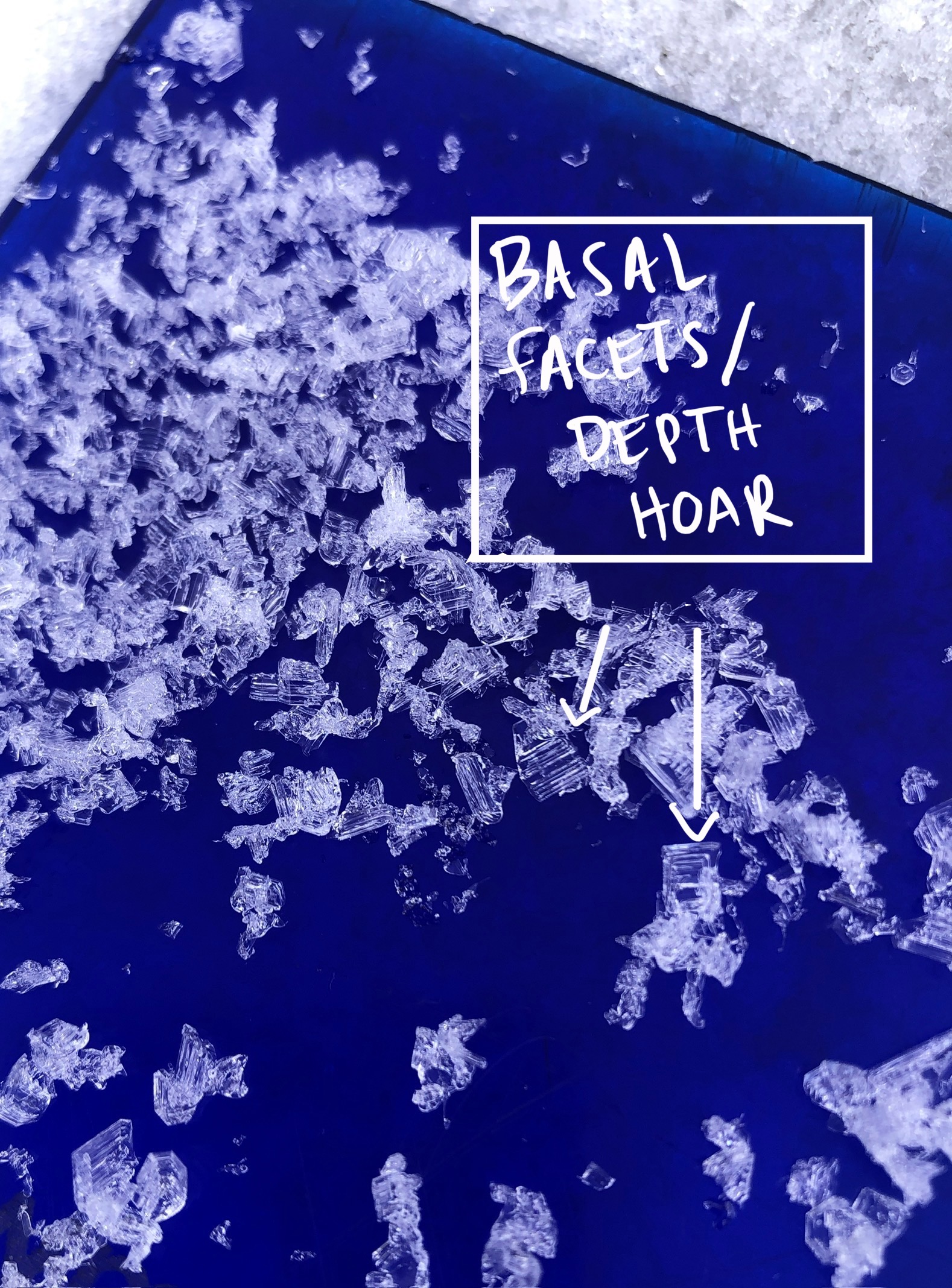
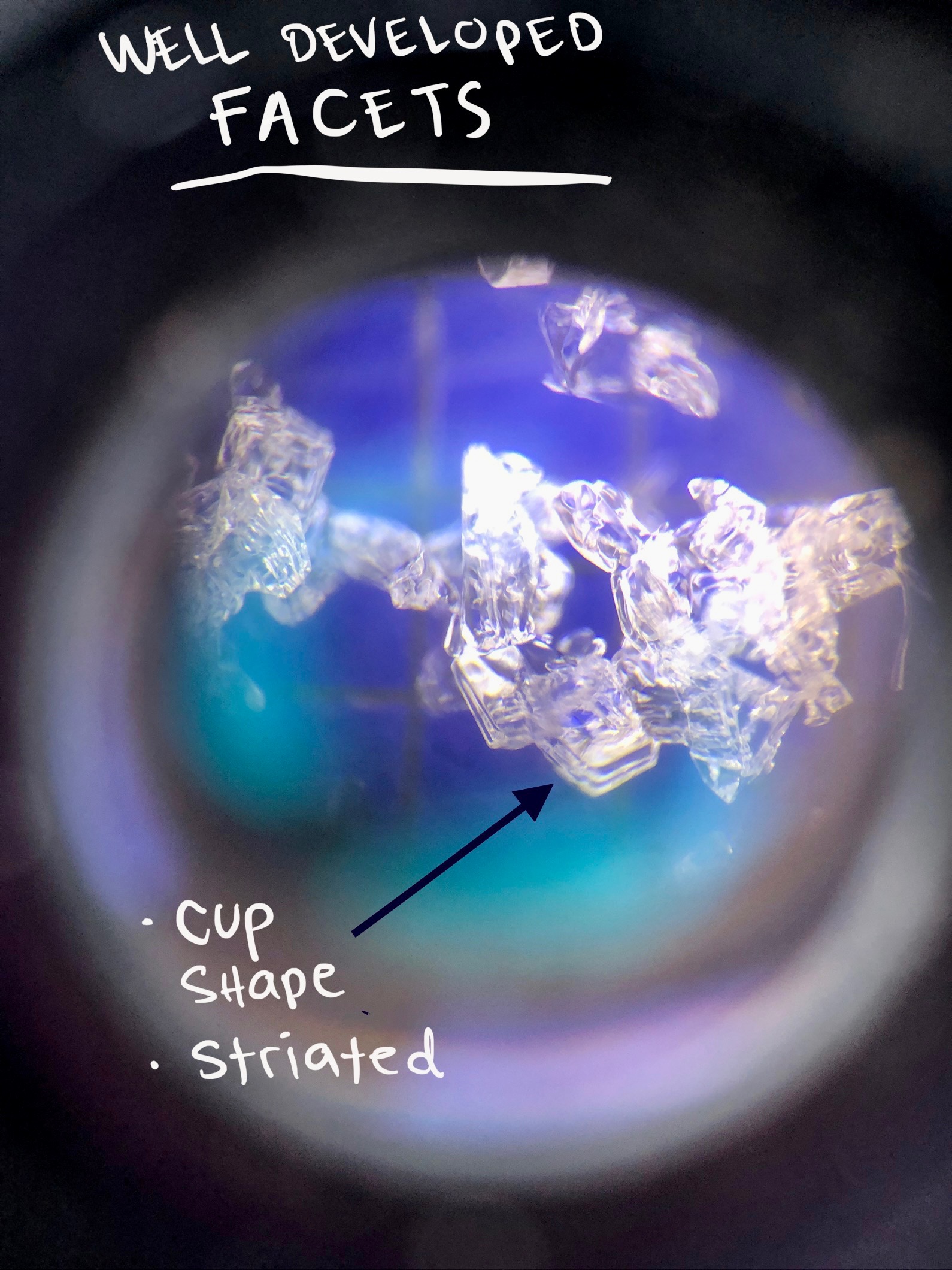
- What little snowpack there is is now a mix of decomposing crusts, facets, and depth hoar.
- If we see significant snowfall, areas with good snow coverage may become areas of concern for avalanche hazard.
Weather
- Air Temp
- 40
- Cloud Cover
- broken
- Wind Loading
- none
- Recent Snowfall
- 0
- Snow Avail For Transport
- none
Temperatures quickly warmed to above freezing this morning and reached 40 F at 10,000'. High thin clouds moved in from the Southwest over the day. Light SW winds on the ridge.
Snowpack
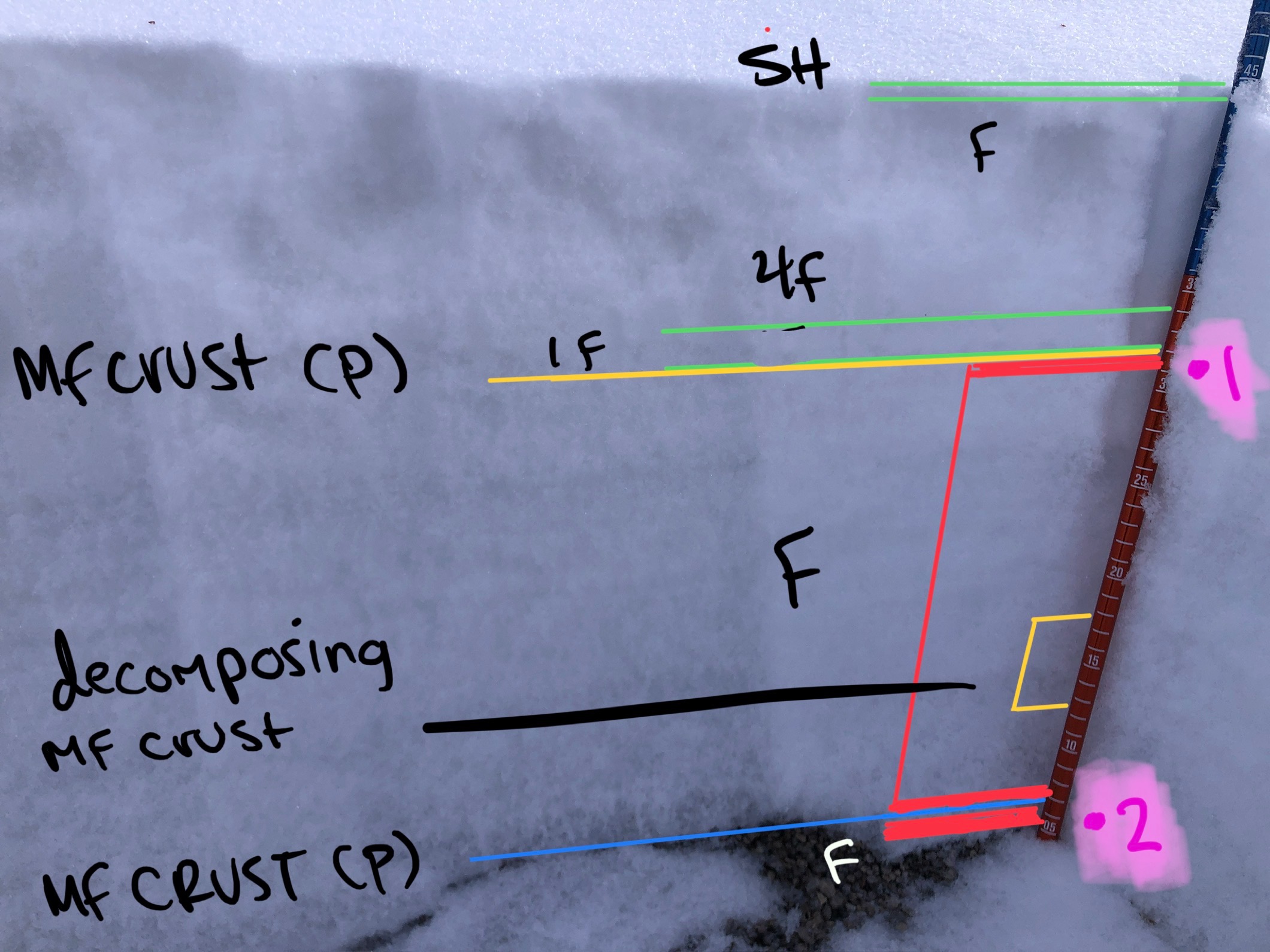
In the few areas with continuous coverage along the eastern side of the San Joaquin ridge, the snowpack is exceptionally weak.
The total height of snow ranges between 10 and 50cm with well-developed faceting present throughout the entire depth of the pack. On shadier (NW, N, NE) slopes the facets are now depth hoar and make up the bottom 10 - 30cm.
Higher in the snowpack more recent storm layers have completely faceted and even melt-freeze crusts and wind board are showing signs of softening as the grains facet in this extended dry and clear weather.
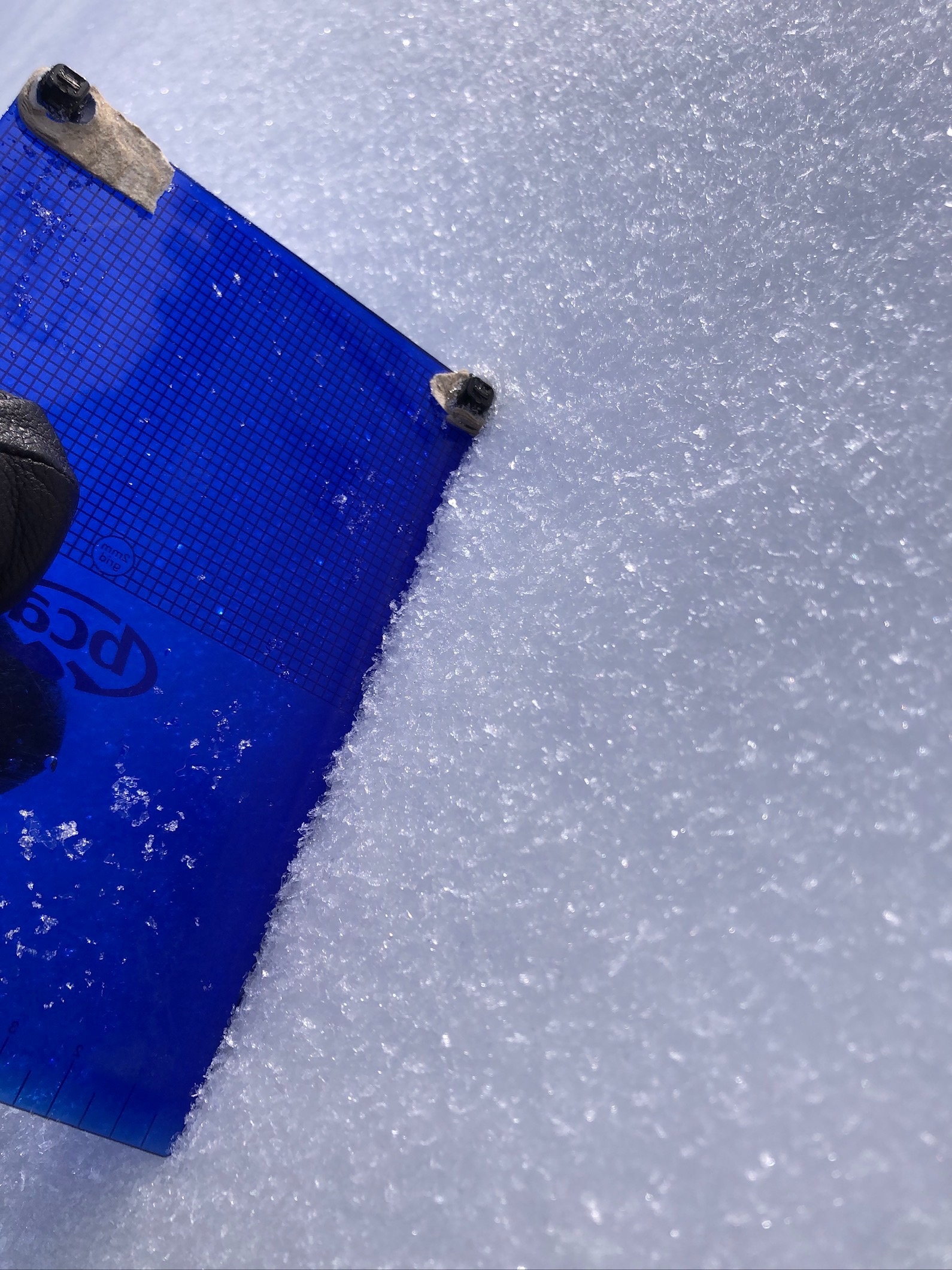
The icing on the cake was finding surface hoar on the snow surface just below a near treeline ridge on an NW aspect.