
Quick report
On northerly aspects of Paulina Peak I observed average snow depth of 65cm, deep enough to cover most downed trees, making the skiing feel generally safe in terms of coverage. The snow surface was highly variable; a patchwork of sun crusts, crusts caused by water dripping from trees, windslab/crust from 3-15cm thick, dry snow, pockets of surface hoar in open/protected areas. I was able to connect some fun turns on both hardened snow shaded by the trees and sections of powerdery fluff! As our next storm comes in pay attention to how the new storm snow interfaces with highly variable snow surface.
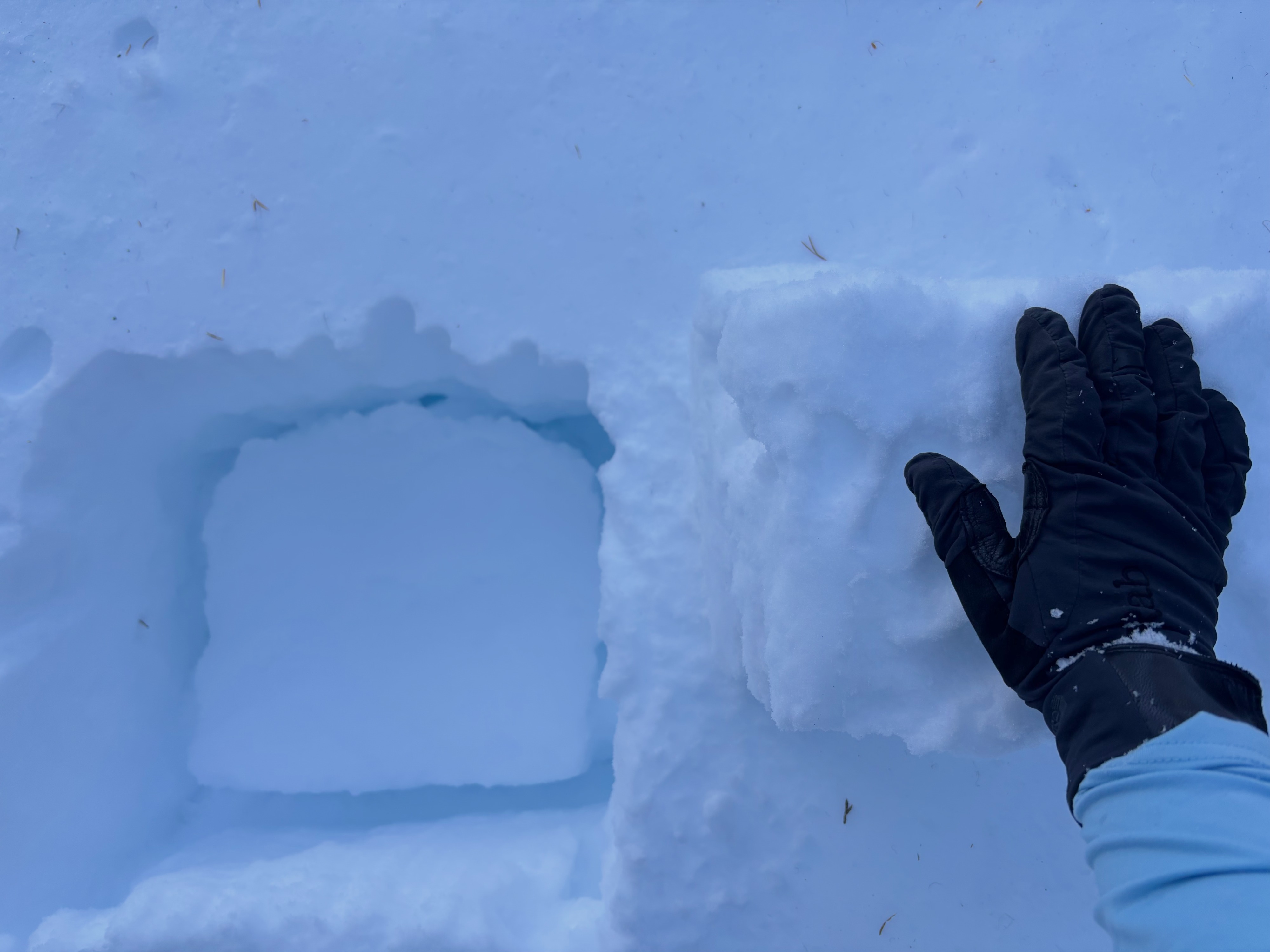
At 6700 ft on a N aspect, I dug to the ground and observed a 15cm windslab on top of multiple layers of generally dense snow interspersed with melf freeze crusts. There is some variability to how these layers are bonding and I observed some instability on the interface below the uppermost meltfreeze crust and the layer below it (46cm down CT15, ECTN 18). This does not indicate any significant instability, but does reinforce Gabe's message about low danger days - continue to keep you keen avalanche observer skills sharp on these days as there can be isolated spots where microclimate/terrain features can hold isolated windslabs.
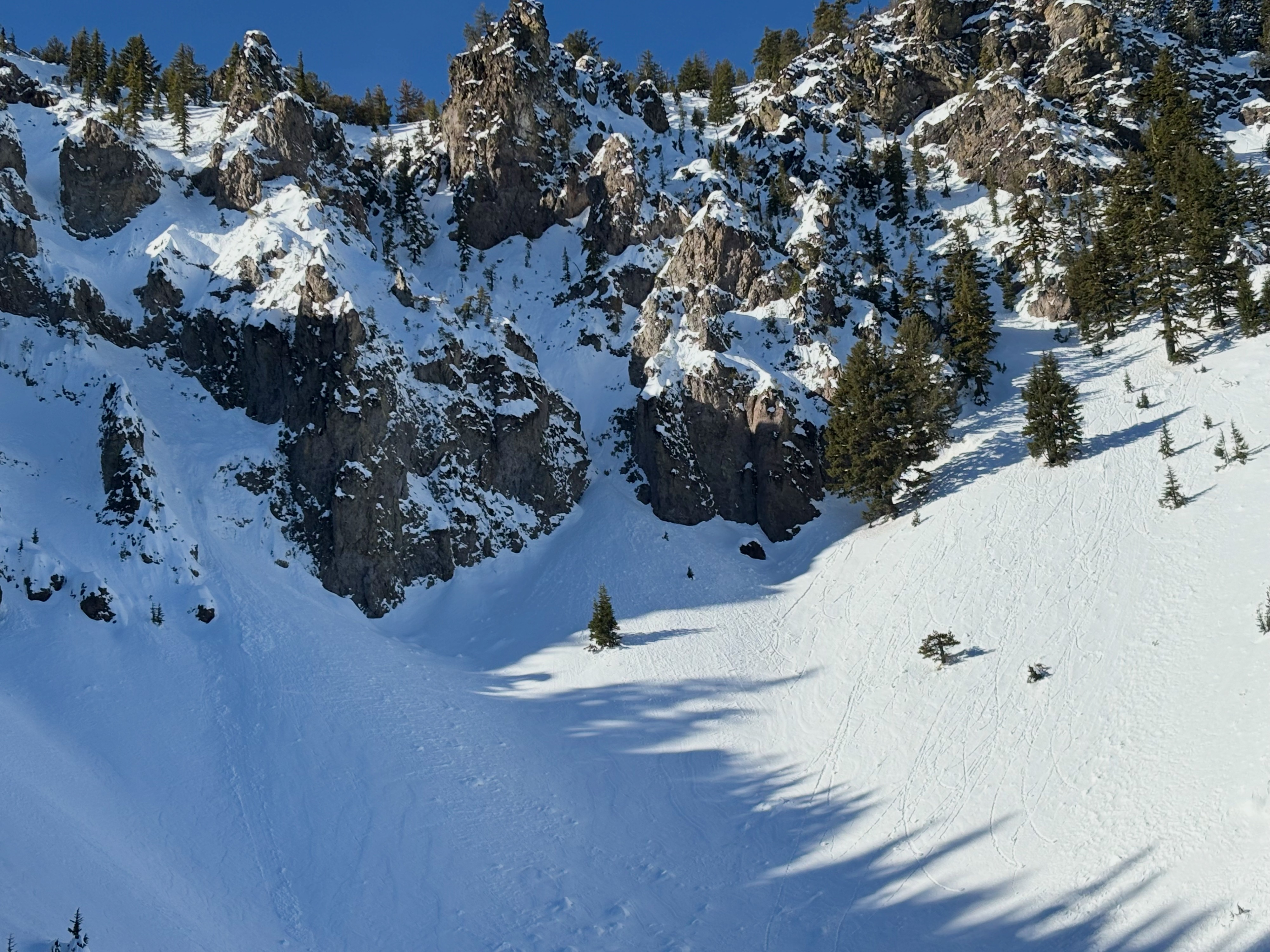
I observed one very small wet loose release and some roller balls on an E aspect from a previous day, good to remember that even when there are no avalanche problems present in the forecast that there can still activity. This wet loose activity initiated on the black cliff band in the steepest part of the slope.Weather
- Air Temp
- 40
- Cloud Cover
- clear
- Wind Loading
- moderate