
Quick report
I went for a tour in bishop creek today to get an idea of recent snow totals and to investigate our PWl to see how things may have changed after our recent loading events.
- Recent snow totals generally ranged from 8- 15 inches, with favorable areas up to 20 inches
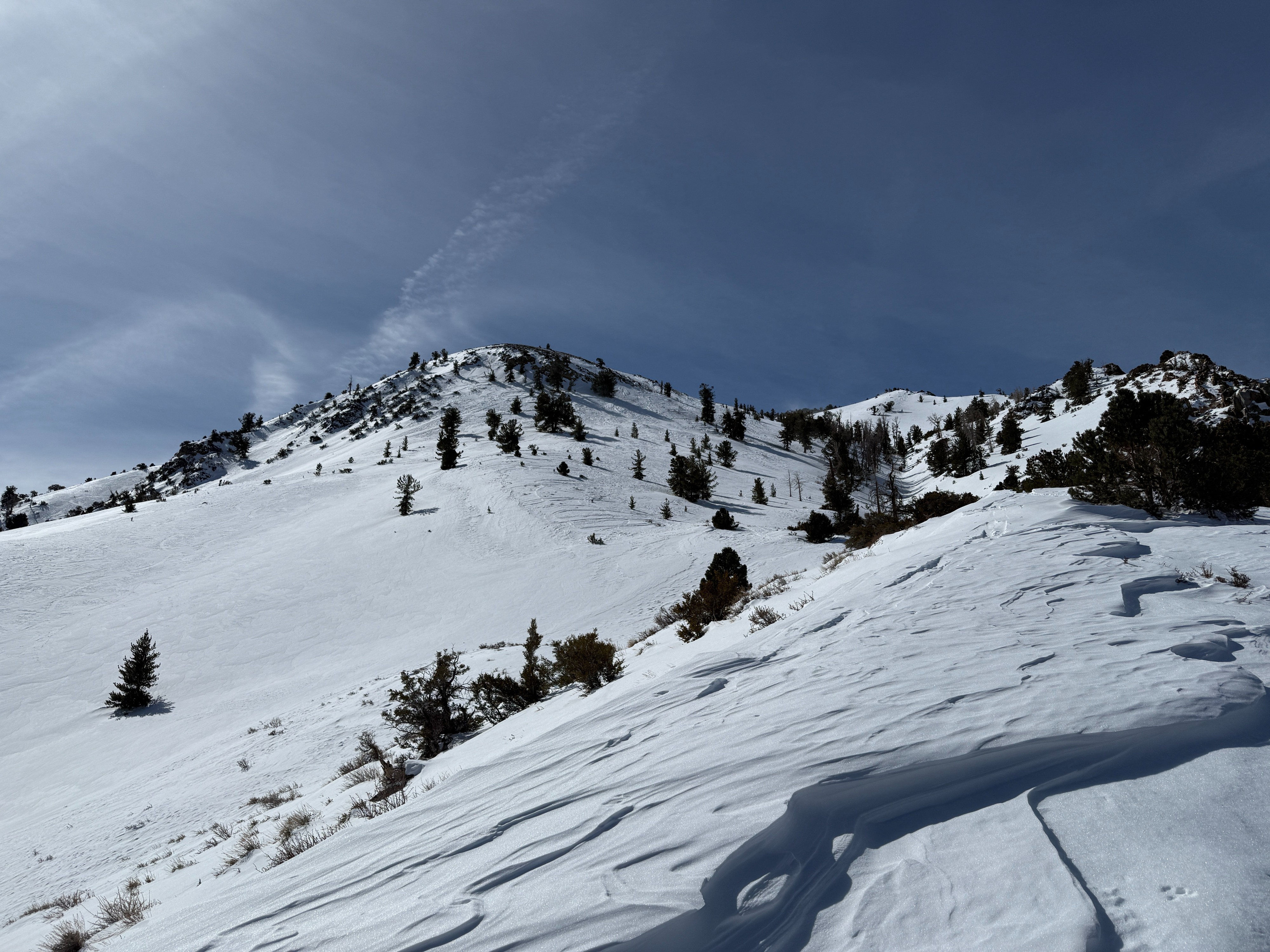
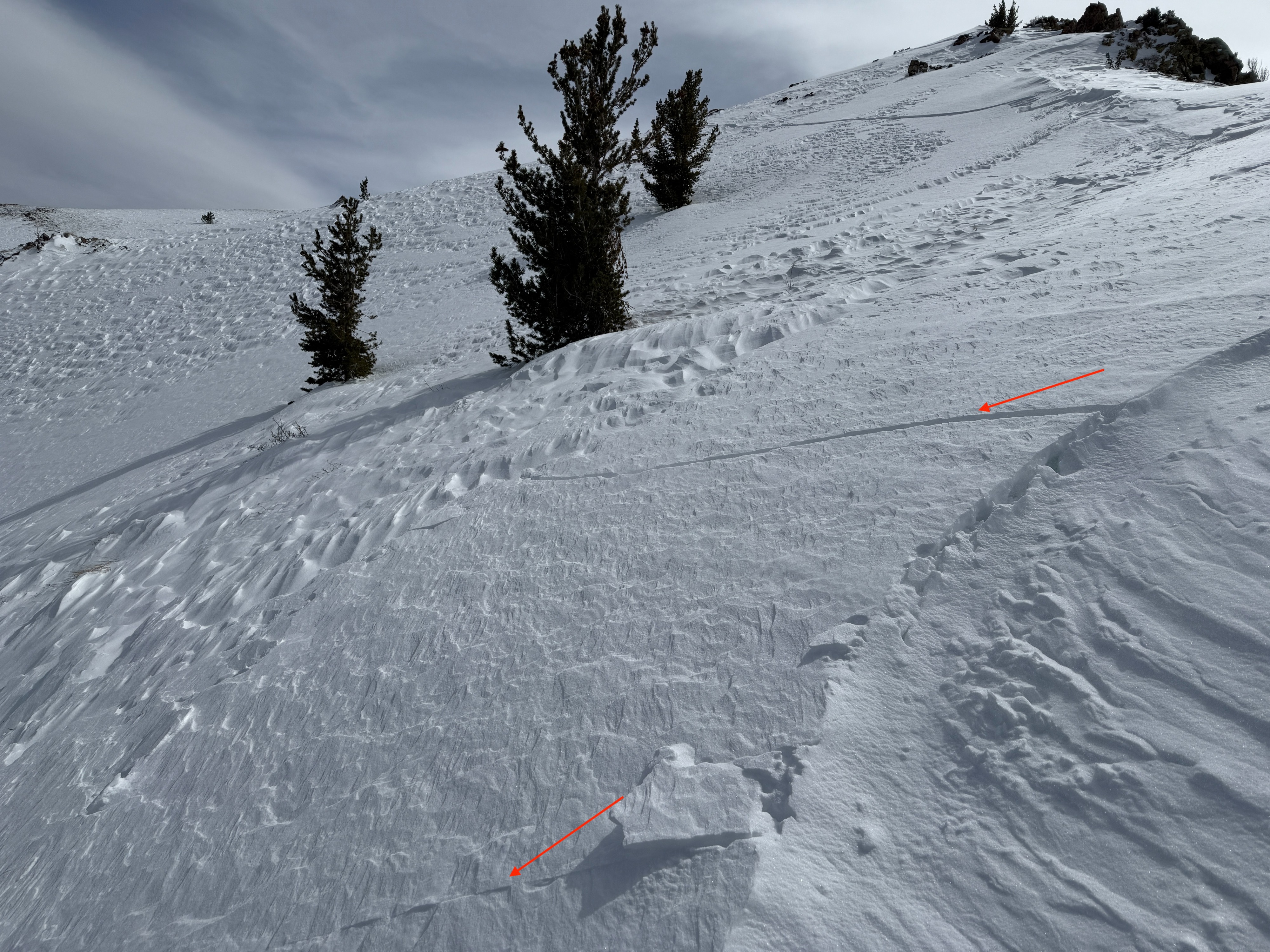
- Surface conditions were variable, with many areas stripped back to old surfaces or with 3-dimensional sastrugi. In depressions or catchment zones, surfaces were generally wind-pressed powder.
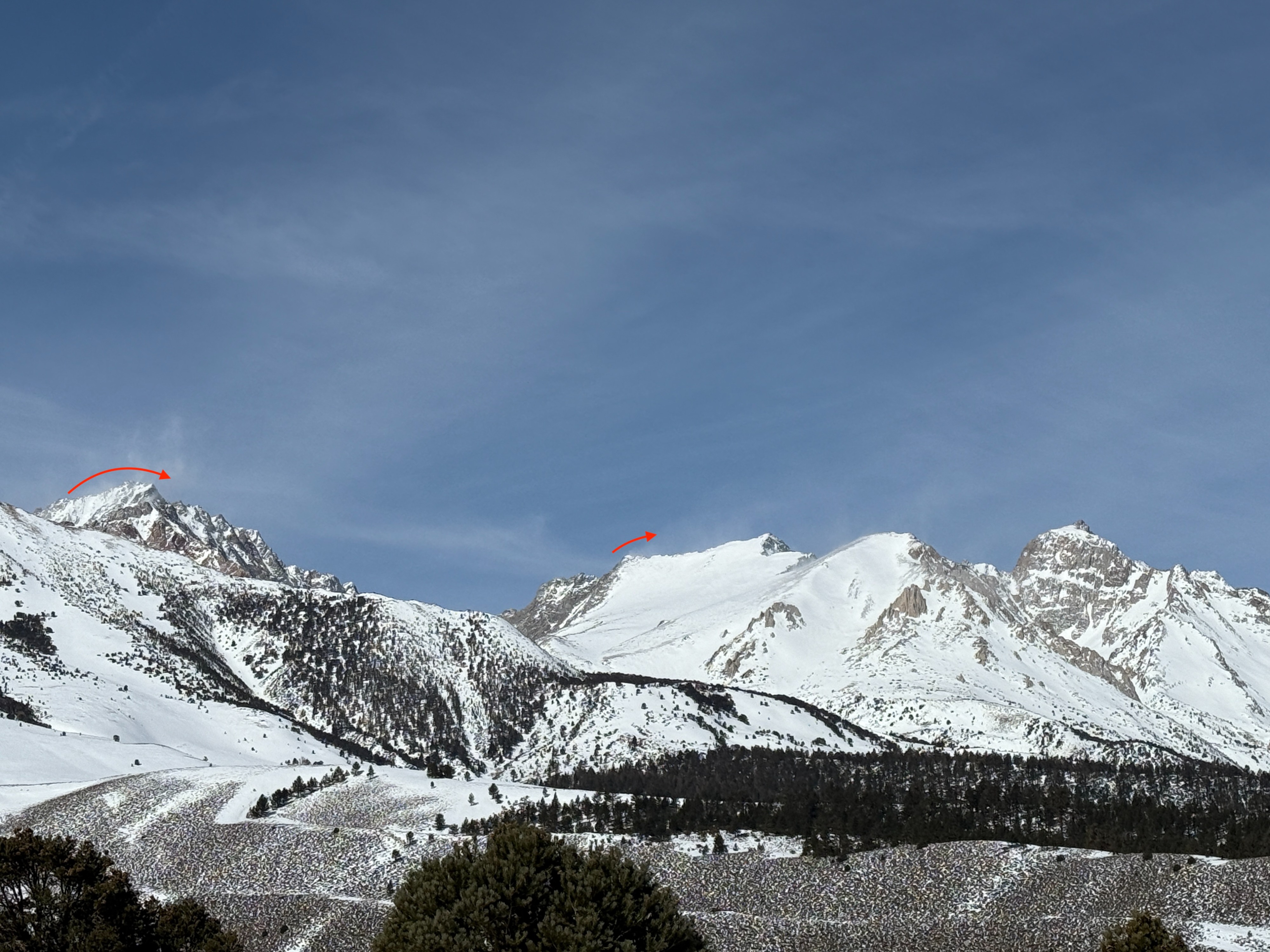
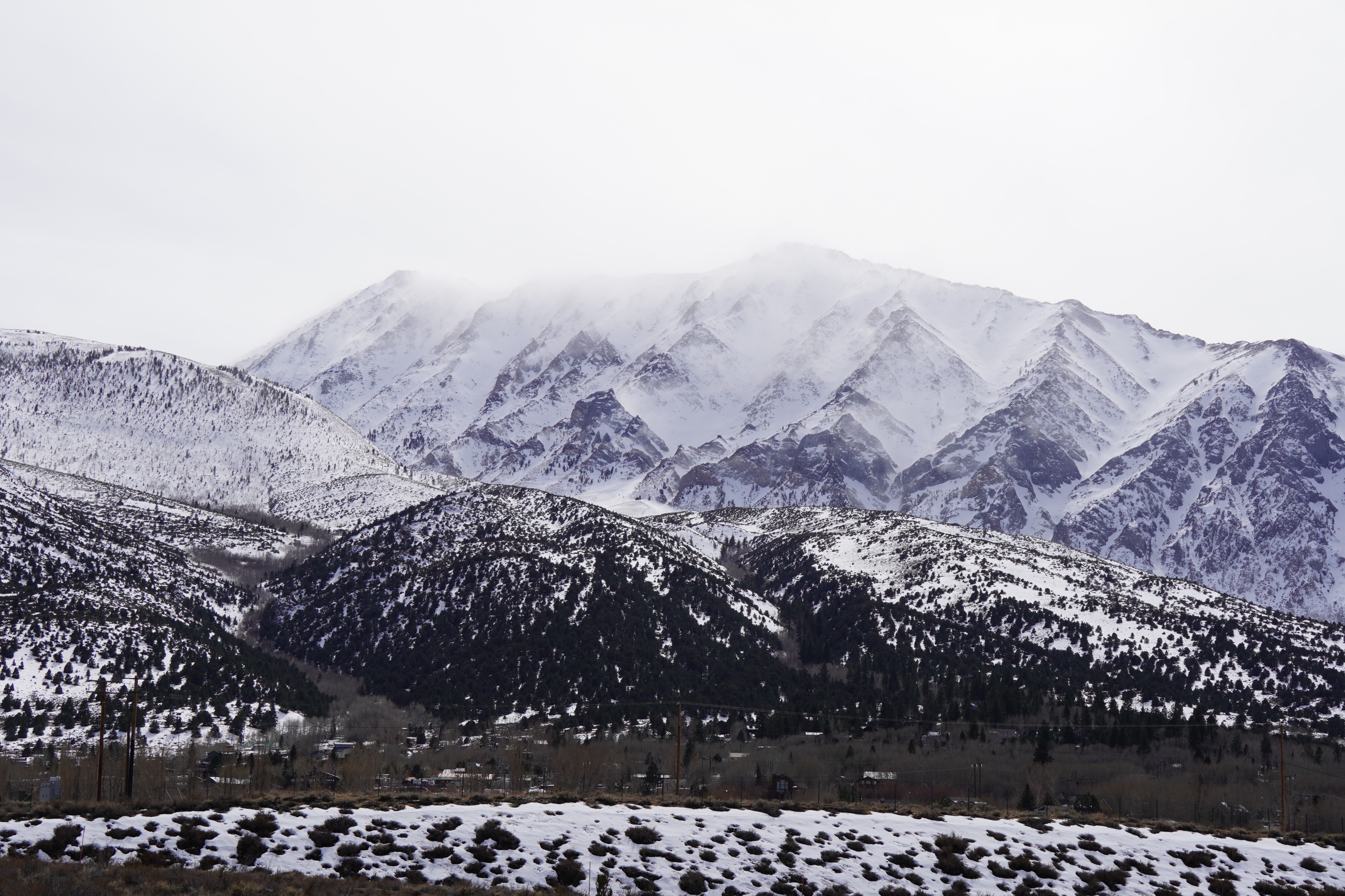
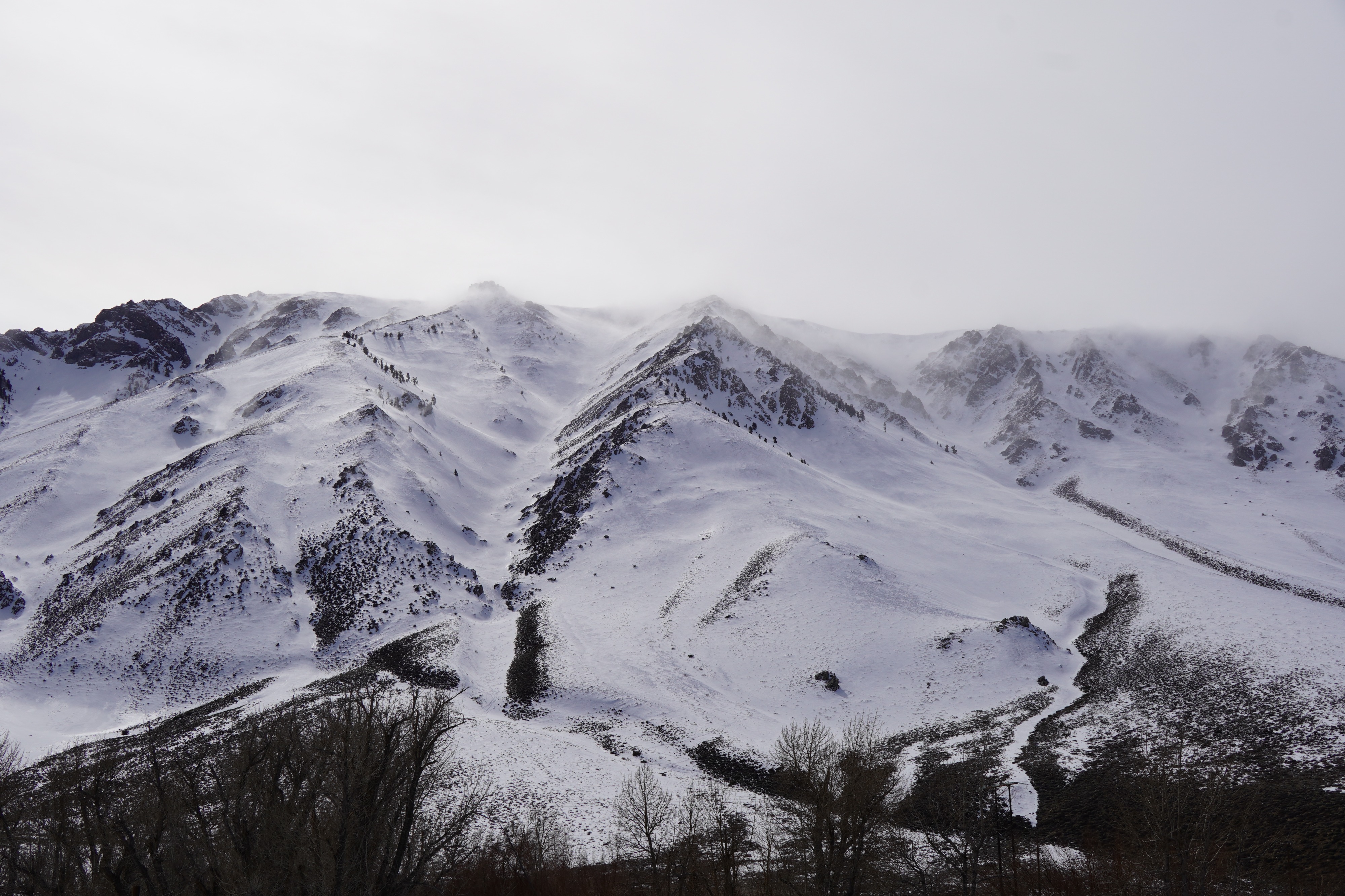
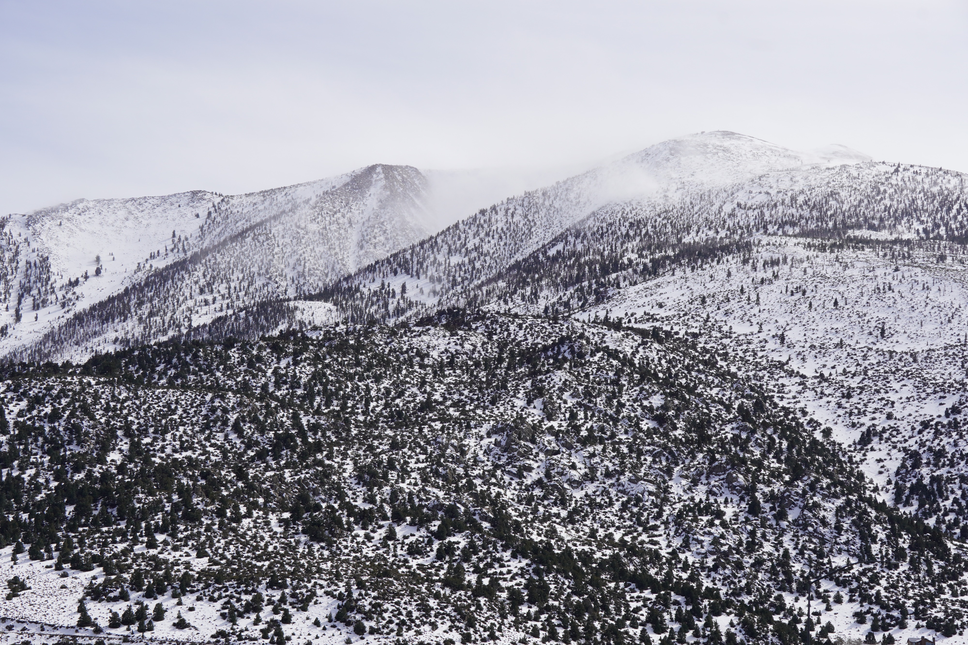
- Significant banners were noted along the bishop skyline throughout the day and from high peaks across the range on my drive back to Mammoth this afternoon.
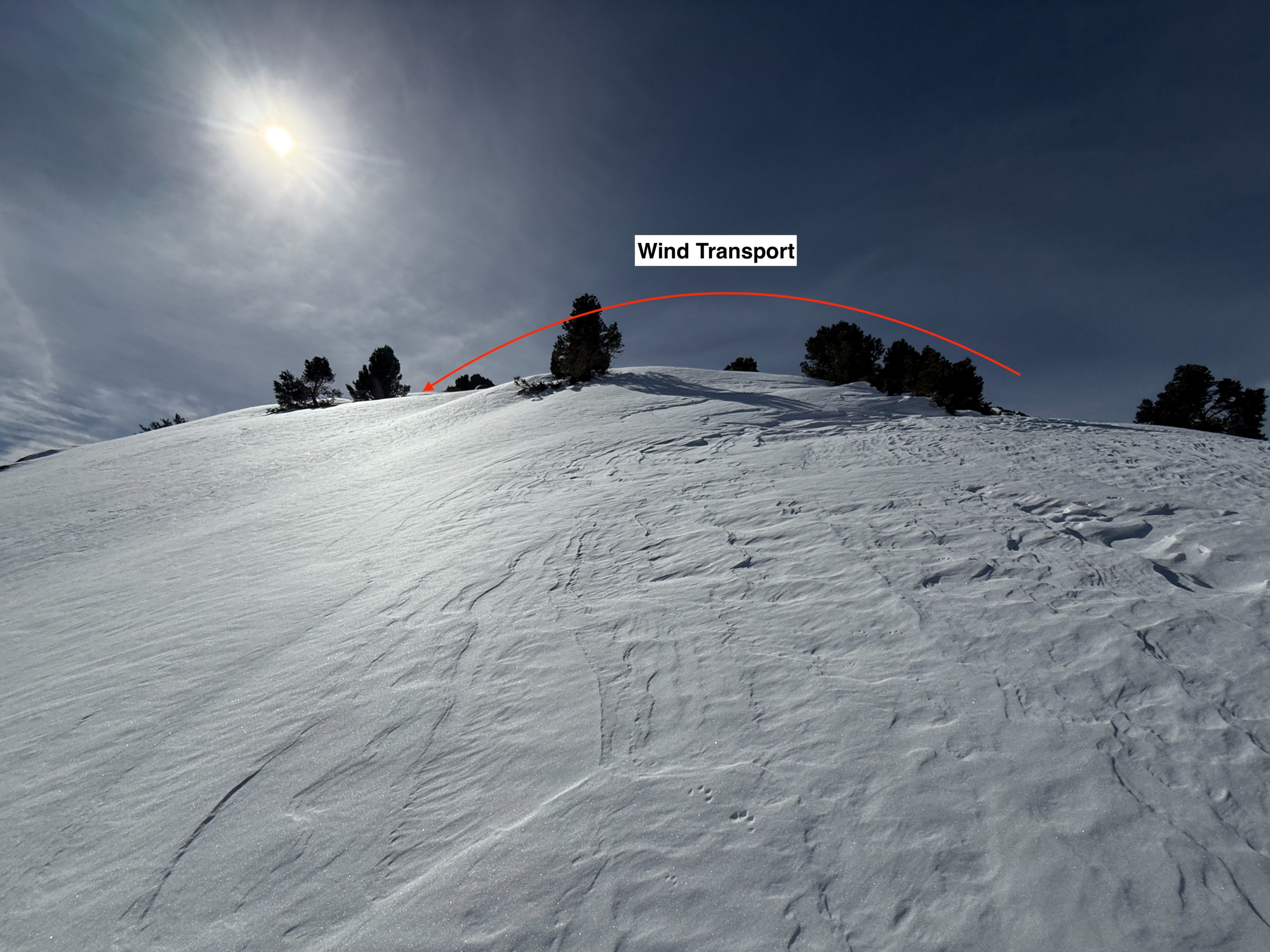
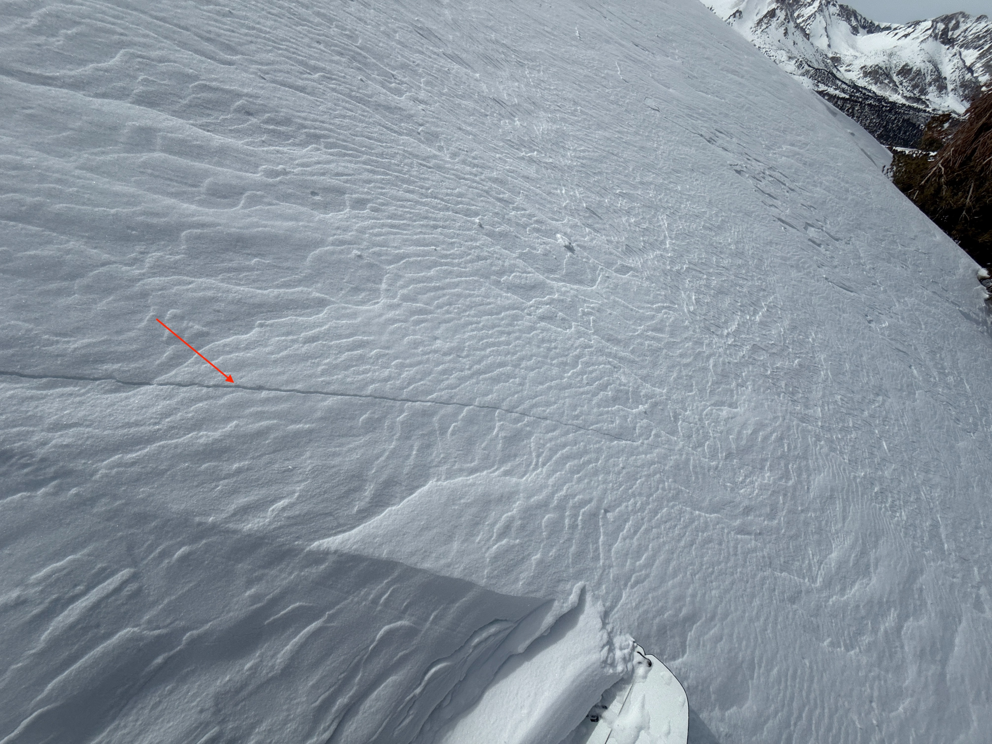
Significant wind transport was observed throughout the day. However, I observed more stripping than deposition and found no fresh and reactive deposits throughout my tour. I was able to initiate a couple of shooting cracks in older, stubborn wind slabs.
Weather
- Air Temp
- 43
- Cloud Cover
- few
- Wind Loading
- moderate
- Recent Snowfall
- 0
- Snow Avail For Transport
- moderate amounts
Temperatures were well above freezing, measuring above 40° F at midday. Winds were quite strong out of the southwest, leading to quite a bit of blowing snow. Skies were mostly clear this morning and started increasing over the crest in the afternoon.
Snowpack
I dug in on a north aspect a little under 10,000' to get eys on our PWL
- HS= 150 cm
- DH and chained DH at the base of the snowpack is showing signs of rounding
- I conducted several stability tests targeting this weak layer
- ECTX- It's worth noting that with one extra hard hit after completing the test, I initiated a failure and propagation.
- PST35/110 END @56cm
- See profile for more details