
Quick report
- Cracking
- specific
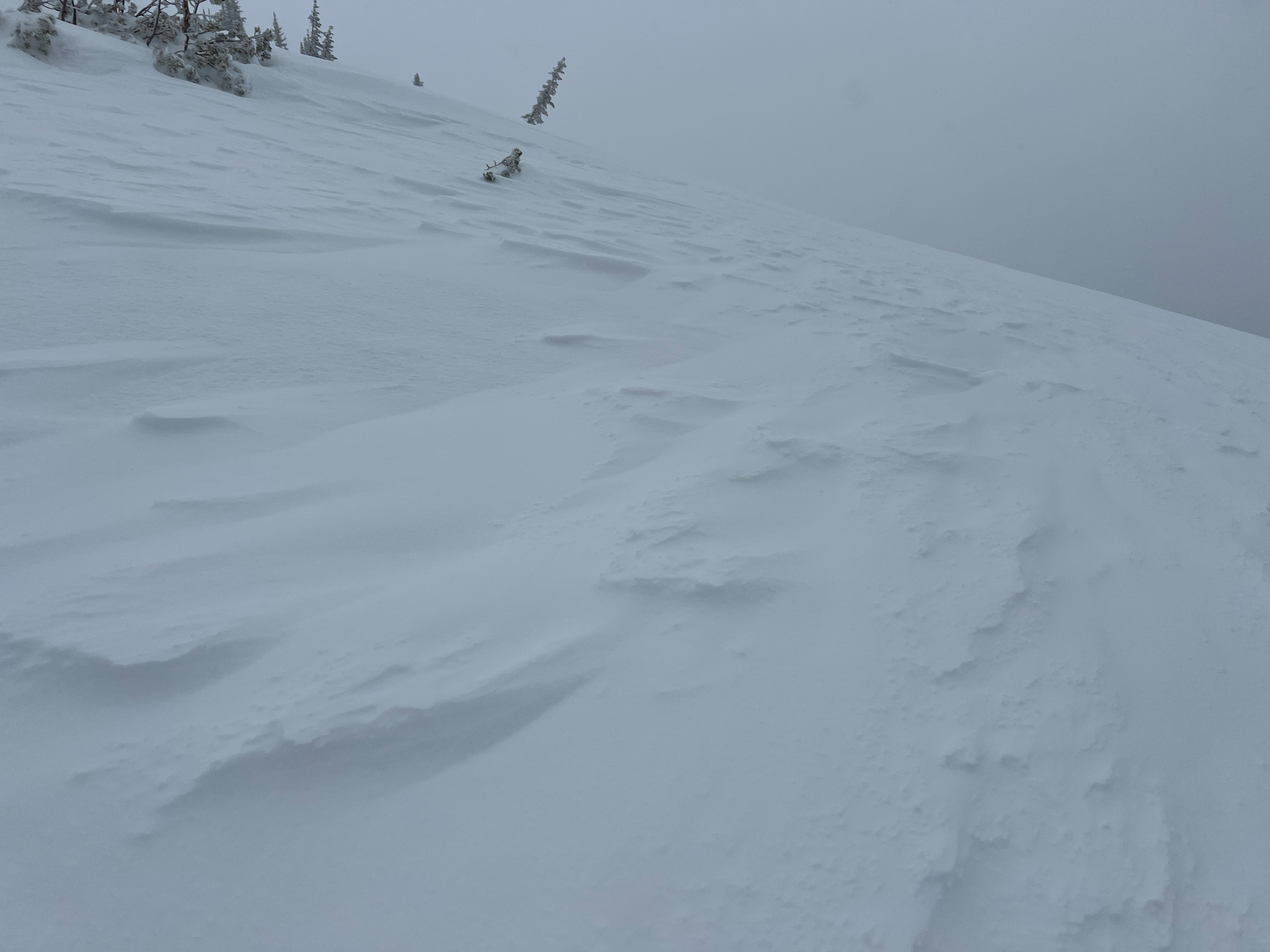
Cracking around skis within wind-stiffened snow along ridgelines.
Weather
- Air Temp
- 32
- Cloud Cover
- overcast
- Wind Loading
- light
- Rain Elevation
- 5000
- Recent Snowfall
- 15
- Snow Avail For Transport
- moderate amounts
4" of new snow at Salt Creek Summit Snopark overnight. Light Snowfall (S-1) throughout the day tapering with broken skies at 1430. Light winds with moderate gusts out of the South. Temperature around freezing.
Snowpack
In my travels today, I noted about 15 cm/6" of new snow sitting above a wet snow surface. I traveled up to an elevation of 7900', and from that elevation and below the new/old snow interface was not a firm crust. The new snow was bonded well to the wet snow surface and no storm slab qualities had developed during my time in the field. Below the new snow, 4-6" of snow that had consolidated from the storm starting on 3/22 was Fist hard and wet from the recent warm temperatures and rain. Water was pooled on the 3/22 crust, which was breaking down. Below the 3/22 crust, a slab of 1F to Pencil hard moist snow sat above a thin melt-freeze crust. Shovel shears with moderate force made this layer fail (3 feet from the surface). No propagation was observed in my Extended Column Test.
South winds were loading north aspects with shallow wind slabs along exposed ridgelines. Cracking in wind-stiffened snow was observed directly around my skis in these small windslabs.