

Quick report
Isolated instabilities confined to wind loaded northerly terrain, harboring October/ early November snow
Weather
- Air Temp
- 24
- Cloud Cover
- overcast
- Wind Loading
- light
- Rain Elevation
- 8,000'
- Recent Snowfall
- 10-55cm
- Snow Avail For Transport
- moderate amounts
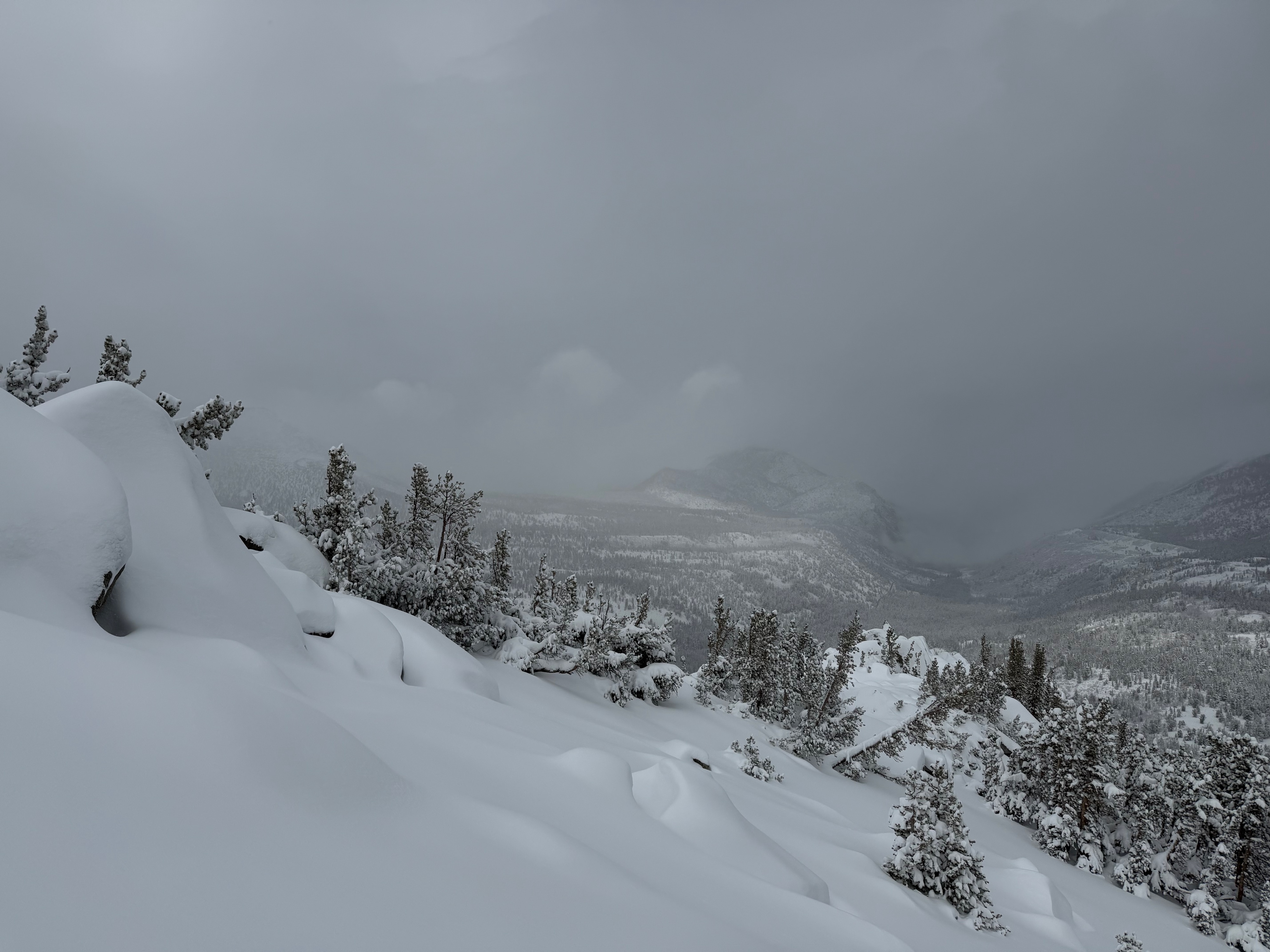
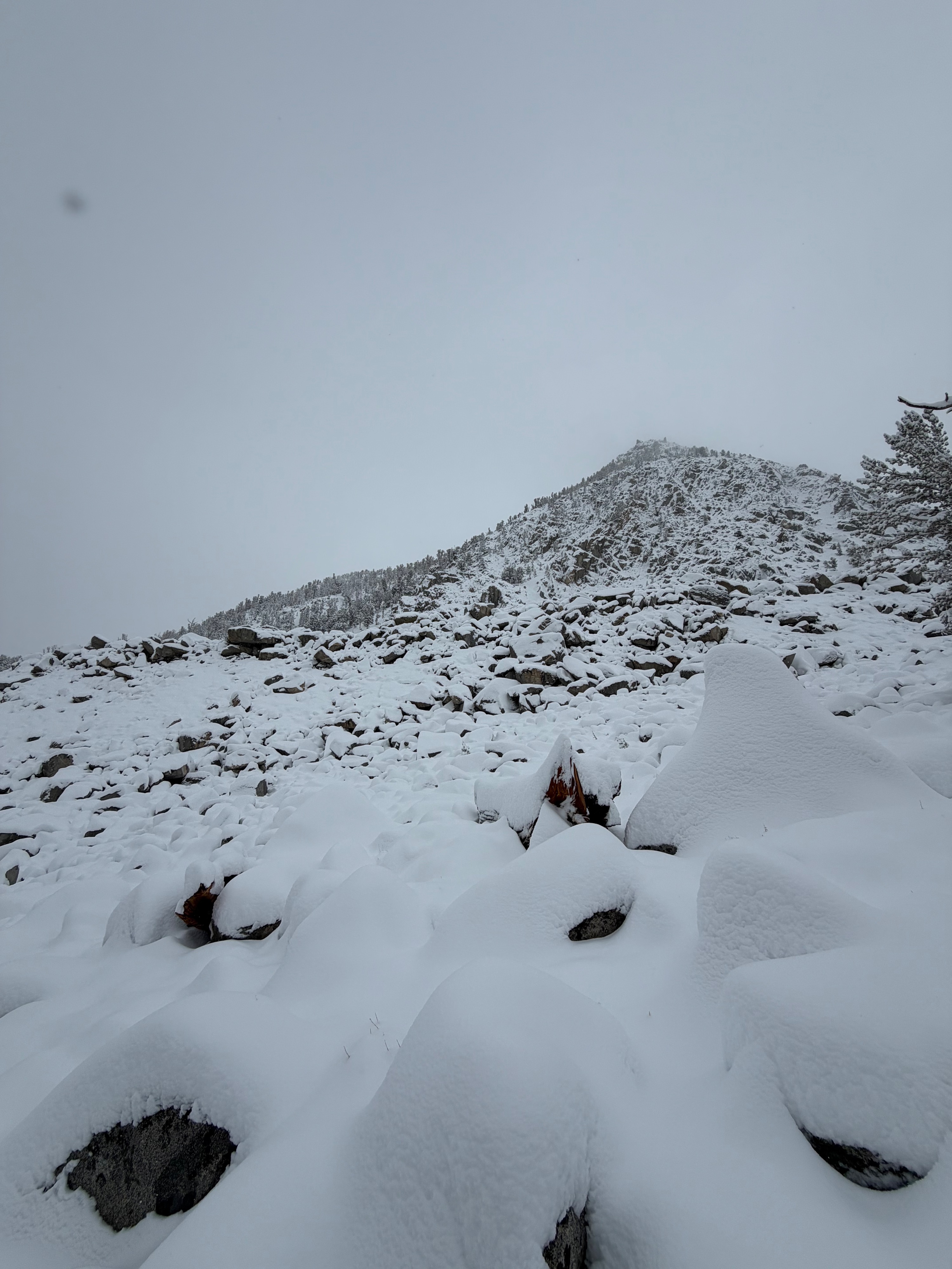
In-and-out visibility and overcast skies were present throughout the tour. Winds were calm to light out of the S, gusting to moderate and transporting snow at all elevation bands. Temperatures decreased through the day. Between 10–55 cm of new snow since 11/13 was observed between 9,600' and 11,200'.
Snowpack
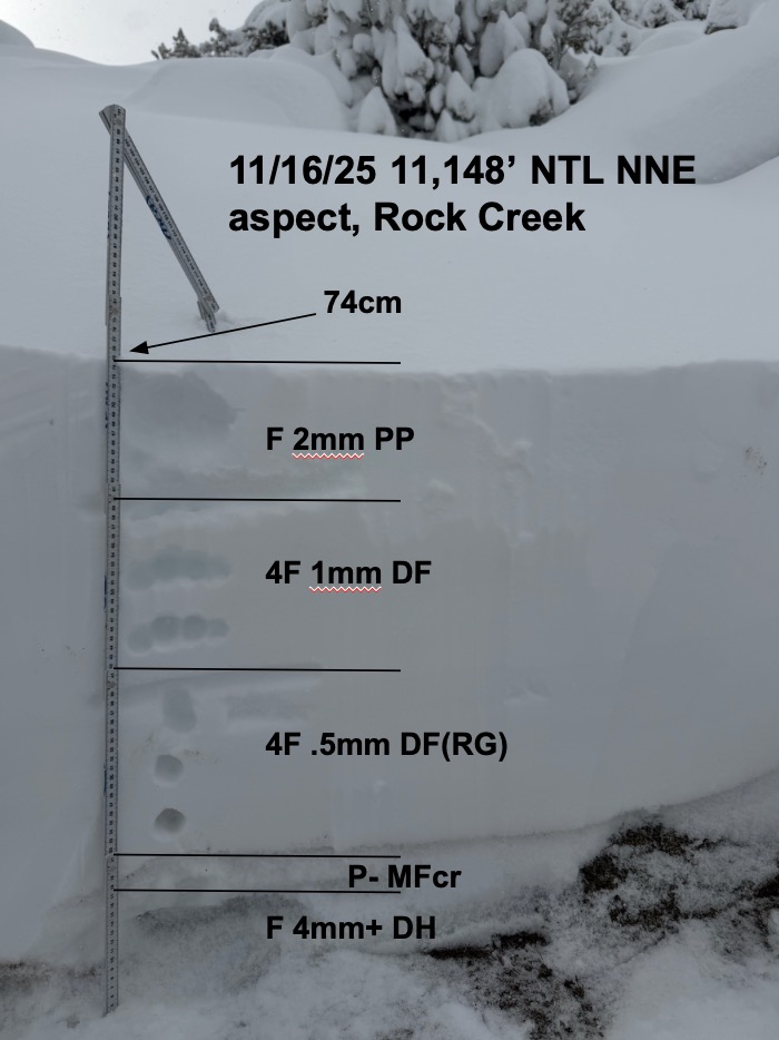
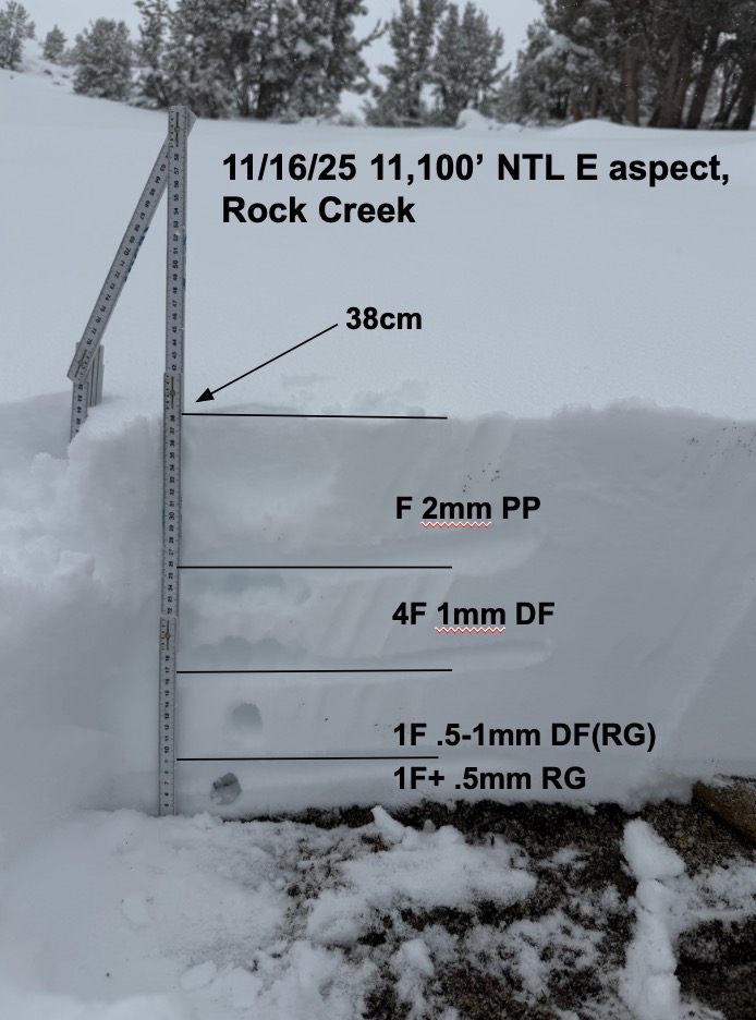
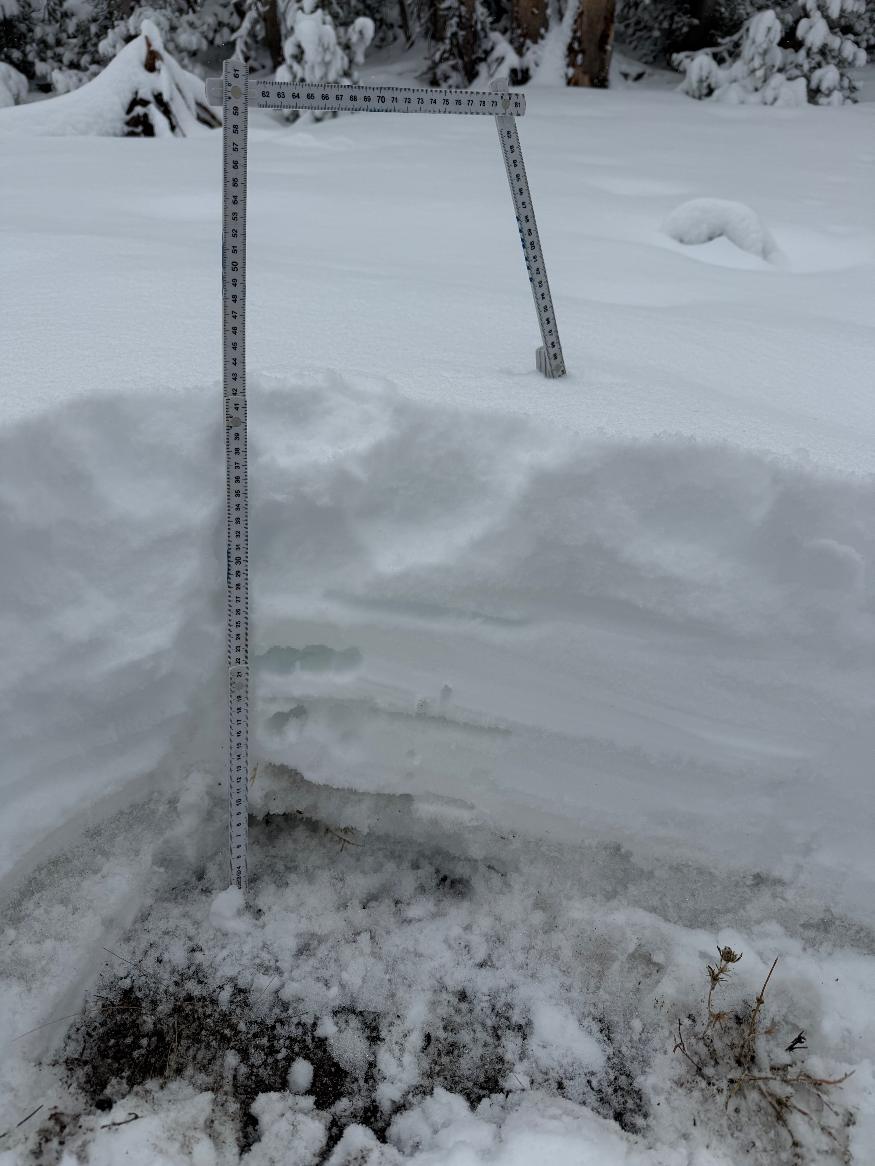
10–30 cm of new snow has fallen at 9,600'–10,200' since 11/13. As I traveled through the near-treeline band, the depth of snow increased proportionally with elevation. I observed approximately 55 cm of new snow and a total snow height of 75 cm at 11,200' on a wind-loaded North–Northeast aspect. I got easy propagating results at the new-snow/old-snow interface in a pit at 11,148' on a NNE aspect (ECTP4, ECTP6 down 56 cm). Propagation was observed above a melt-freeze crust from the recent warm-up prior to 11/13.
Some of my goals today were to find a location harboring old snow with recently wind-drifted snow resting on top, and to test the interaction at this interface. I found this on a very isolated, higher-elevation slope. This slope held the deepest snowpack I could find, as well as easy propagating results in an extended column test. While it’s still very thin across much of our forecast zone, there are a few places that may be starting to look deep enough to make some turns. As I saw today, these same slopes are the most likely places to trigger an avalanche.