
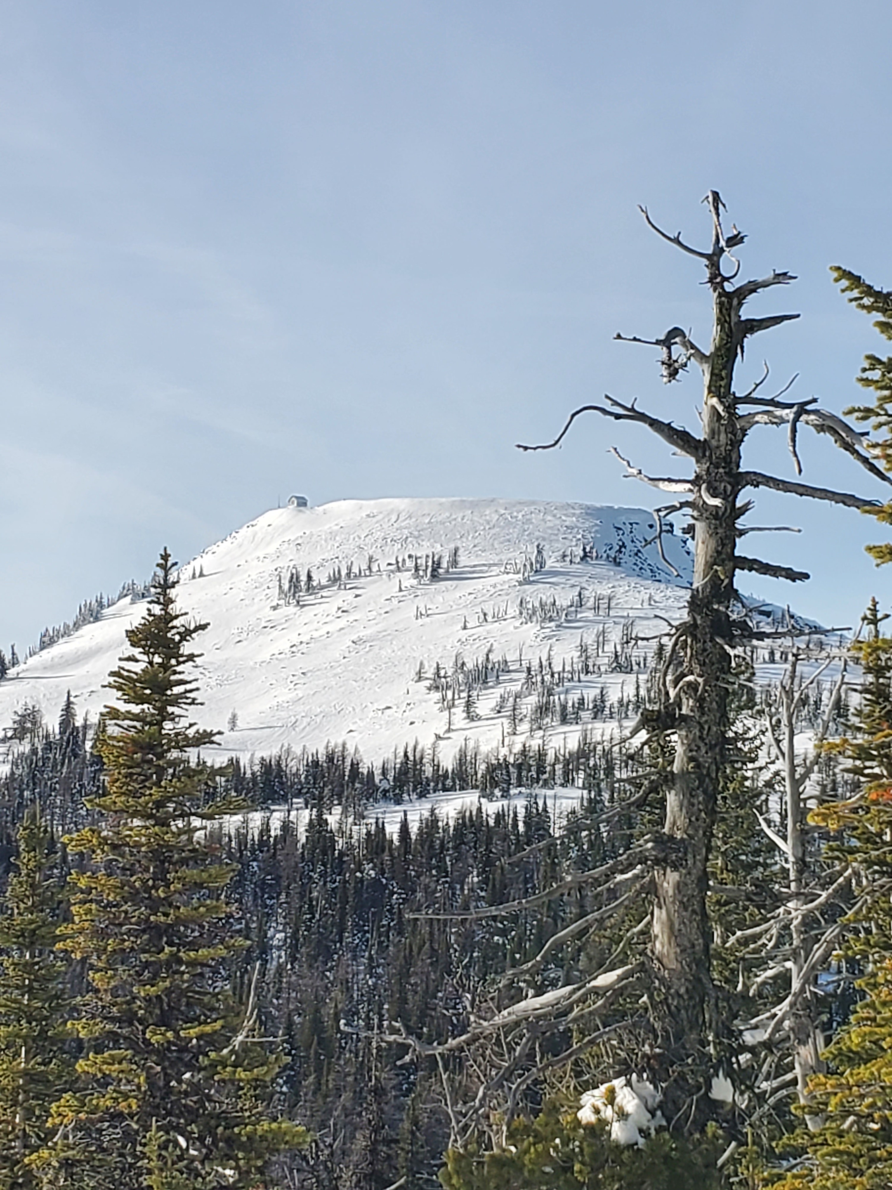
Quick report
To summarize, the snowpack looked very stable in an area that typically harbors a lot of weak sugary snow at it's base. The first two weeks of December have been dominated by high pressure and temperature inversions which has kept the air much warmer at upper elevations and prevented much of the faceting we typically see in the Purcells. Primary concern moving forward is new snow falling on the existing surface, which consists of scattered pockets of surface hoar and a new crust layer at mid to lower elevations. There is evidence of wind loading that occurred earlier in the week and last weekend but yesterday's observations showed wind slabs are unlikely to be triggered at this time.
Snow coverage is still a bit on the low-tide side of things and there are many rocks and logs to avoid. Spent a fair bit of time cutting a path in on the Pete Creek road to access the trailhead. If you plan to ride in this area I would advise bringing a saw as there is a lot of snow breakage and blowdown.
No instability observed in snowpack stability tests or during our travels. Older wind slabs on north and east aspects showed to have gained strength and unlikely to be triggered. Surface hoar observed growing in sheltered openings below tree line.Weather
- Air Temp
- 32 to 37 above inversion layer.
- Cloud Cover
- few
- Wind Loading
- none
- Rain Elevation
- NA
- Recent Snowfall
- 0
- Snow Avail For Transport
- small smounts
Beauty of a day above inversion layer which transitioned at about 4-5,000' in elevation. Clear skies, calm winds and moderate temperatures observed at upper elevations.
Snowpack
Performed two pits. South aspect at 7,000' had 90 cm's of snow that was well consolidated and showed good strength. Score results were ECTN16 on top of upper crust layer, 12 cm's below surface and CT23/Q2 on facets just below this upper crust layer (see profile below). Second pit on north aspect at 7,300' had 130 cm's of snow and appeared to be slightly wind loaded at this location. Pit results were ECTX and CT11/Q2 and also failed on facets just below the upper crust layer. First observation in this area for the season so it is hard to say which crust layers formed when without speculation. The most recent rain crust that formed on 12/7 tapered out around 6,500-6,800'. Below this elevation the 12/7 crust layer is about 1" thick and knife hard with sugary snow (facets) below it. Facets below this upper crust layer are larger and weaker at lower elevations due to temperature inversion that kept temperatures cold at lower elevations and above freezing at upper elevations during the first week of December.
Avalanche
No avalanches observed.