

Quick report
East flow brought precipitation to the East Slopes of the Cascades by mid-morning with light to moderate snowfall. Temperatures were cold, but you could feel the warm air influence beginning by midday. Overall, we found minimal avalanche hazard. The old wind slabs were unreactive, and it wasn't warm enough for rain to produce wet loose avalanches. While snow stability tests were unremarkable, the snowpack is complex with a layer of surface hoar buried beneath today's fresh snow. The recently cold, clear temperatures created widespread weak snow surfaces and thin crusts on steep southern aspects.
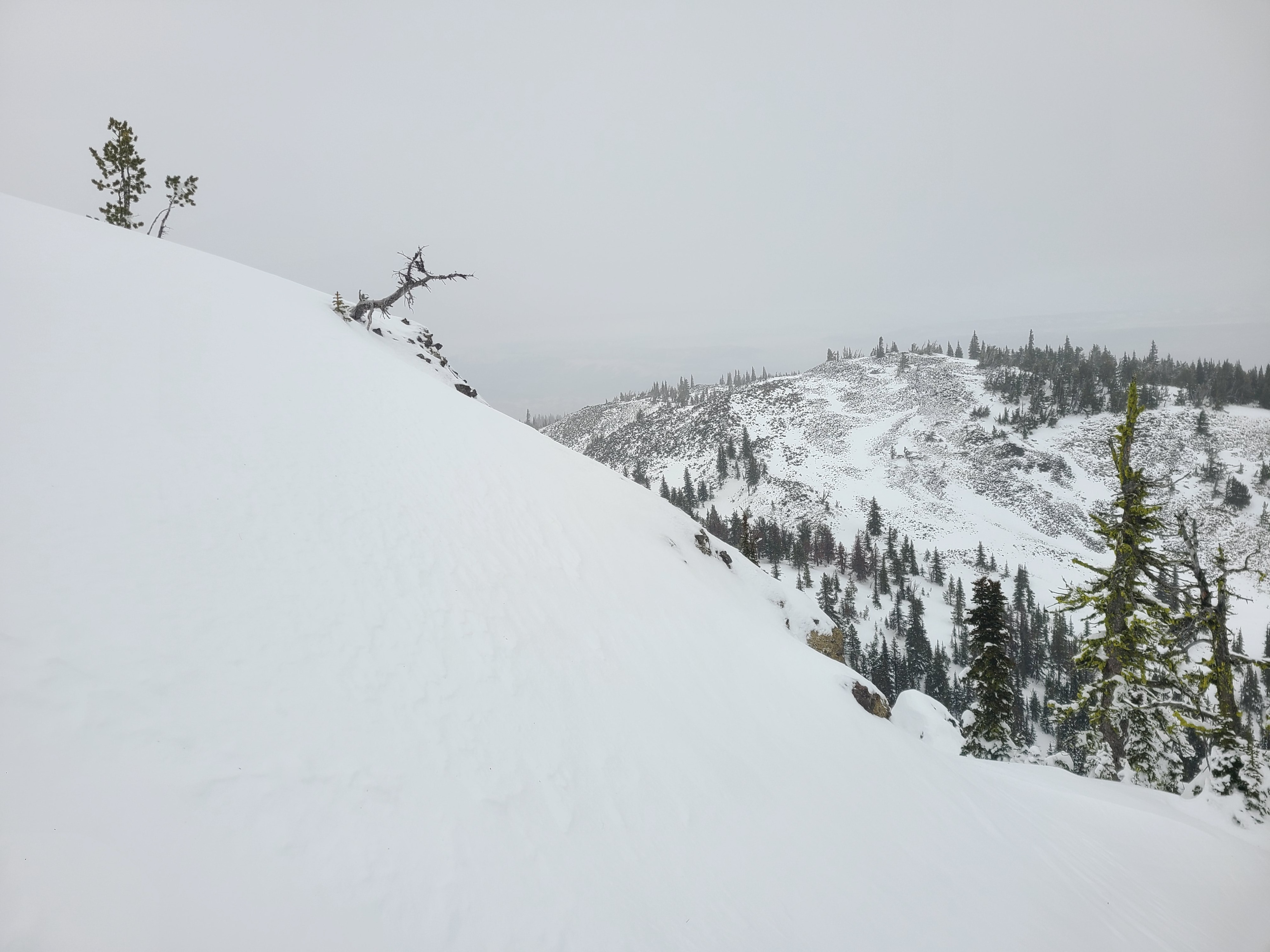
A notable observation from traveling at upper elevations in the Wenatchee Mountains is that snow depths vary greatly across open terrain. Previously, strong winds scoured areas down to just 30-40cm of snow, depositing it in other areas short distances away up to 120cm deep. Even in seemingly sheltered terrain, it was difficult to discern an average snow depth. In addition, many western and southern aspects have little to no snow coverage, whereas the northern and eastern slopes have a more robust snowpack. While these trends aren't at all strange for the Wenatchees, they feel more pronounced than in previous seasons.
Weather
- Cloud Cover
- overcast
- Wind Loading
- previous
- Recent Snowfall
- 1cm
- Snow Avail For Transport
- small smounts
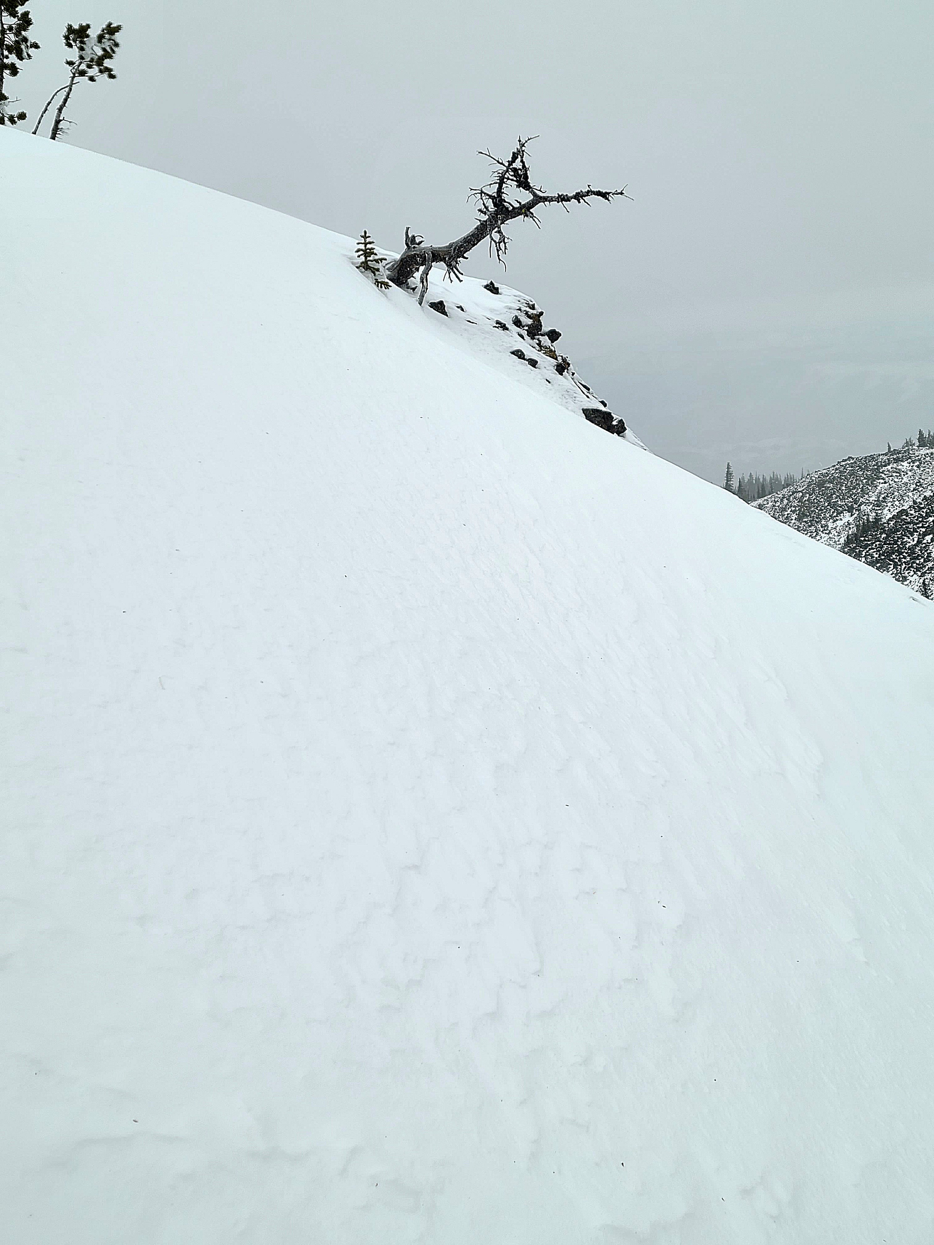
Clouds and precipitation moved in quickly, and it was snowing (S-1 to S1) by 9:30am. Ridgelines were blustery, with southerly winds in the moderate range with stronger gusts. Outside ridgeline terrain, winds were mostly light. We saw isolated drifting snow, but there was minimal soft snow available for transport. Precipitation type stayed as snow down into the lower elevations, but it was more of a sleet or rain/snow mix below 4500ft.
Snowpack
Snow Surface Summary
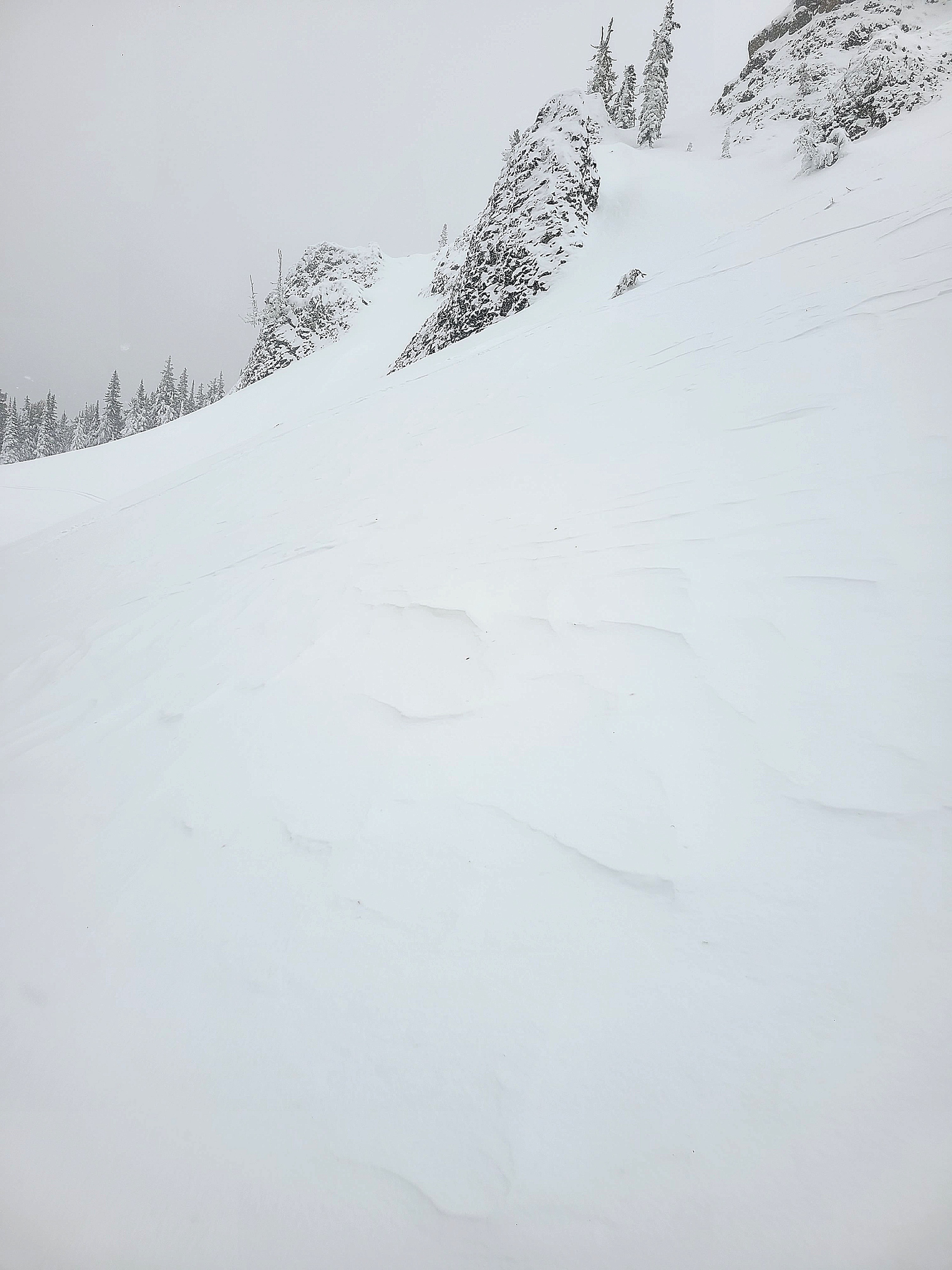
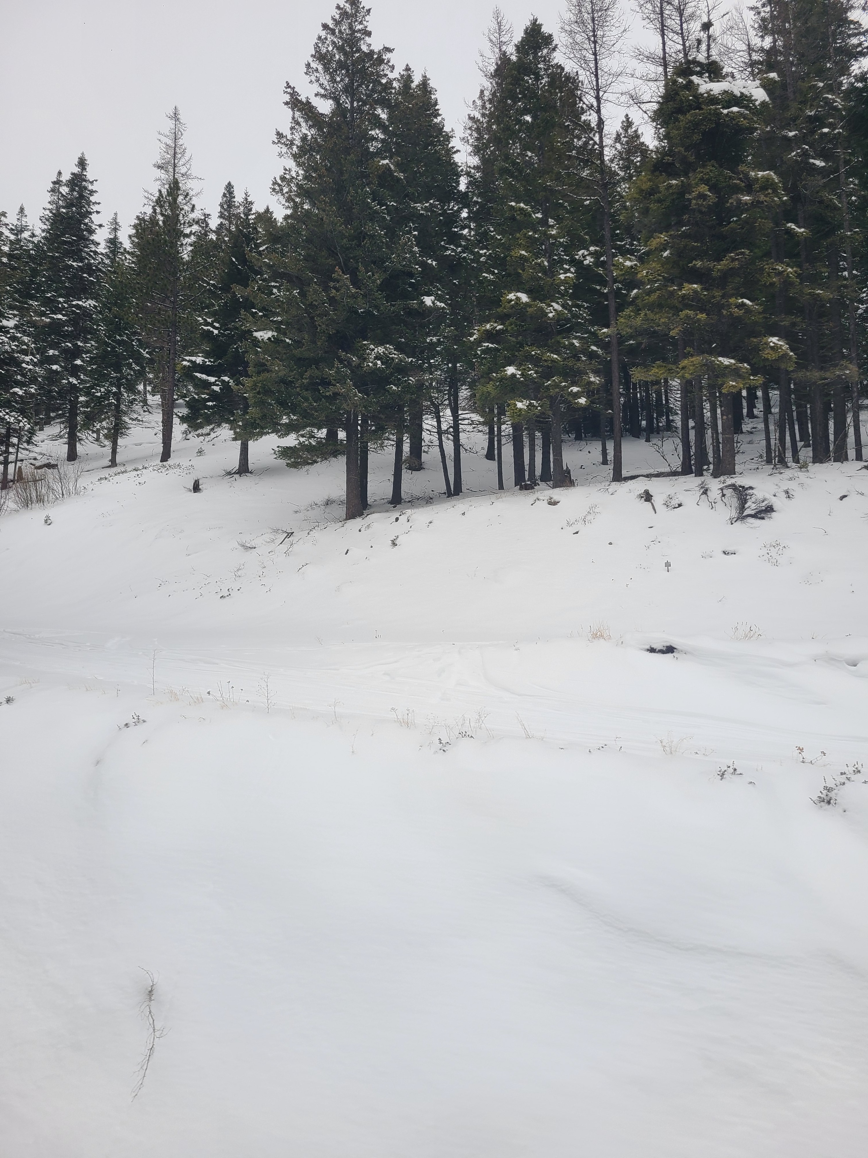
Snow surfaces were mostly soft, although slight melt-freeze crusts were present on steep south aspects and on exposed ridgelines. Tree bombs under the forest canopy were also quite chunky. There are plenty of wind-affected surfaces near ridgelines and in exposed terrain at upper elevations. Wind slabs and wind crusts varied in depth and hardness. Overall, snow coverage is low, but below 5000ft, travel off of groomed trails or roads would be better suited to hiking boots than other forms of on-snow travel.
Snowpack Summary
Snow Depths:
<5000ft: HS 20-25cm
5000-6000ft: HS 40-50cm
>6000ft: Average HS 80cm (Highly variable with areas holding <30cm and wind loaded areas holding >120cm of snow)
Snowprofile, 6700ft, East Aspect.
HS: 80cm
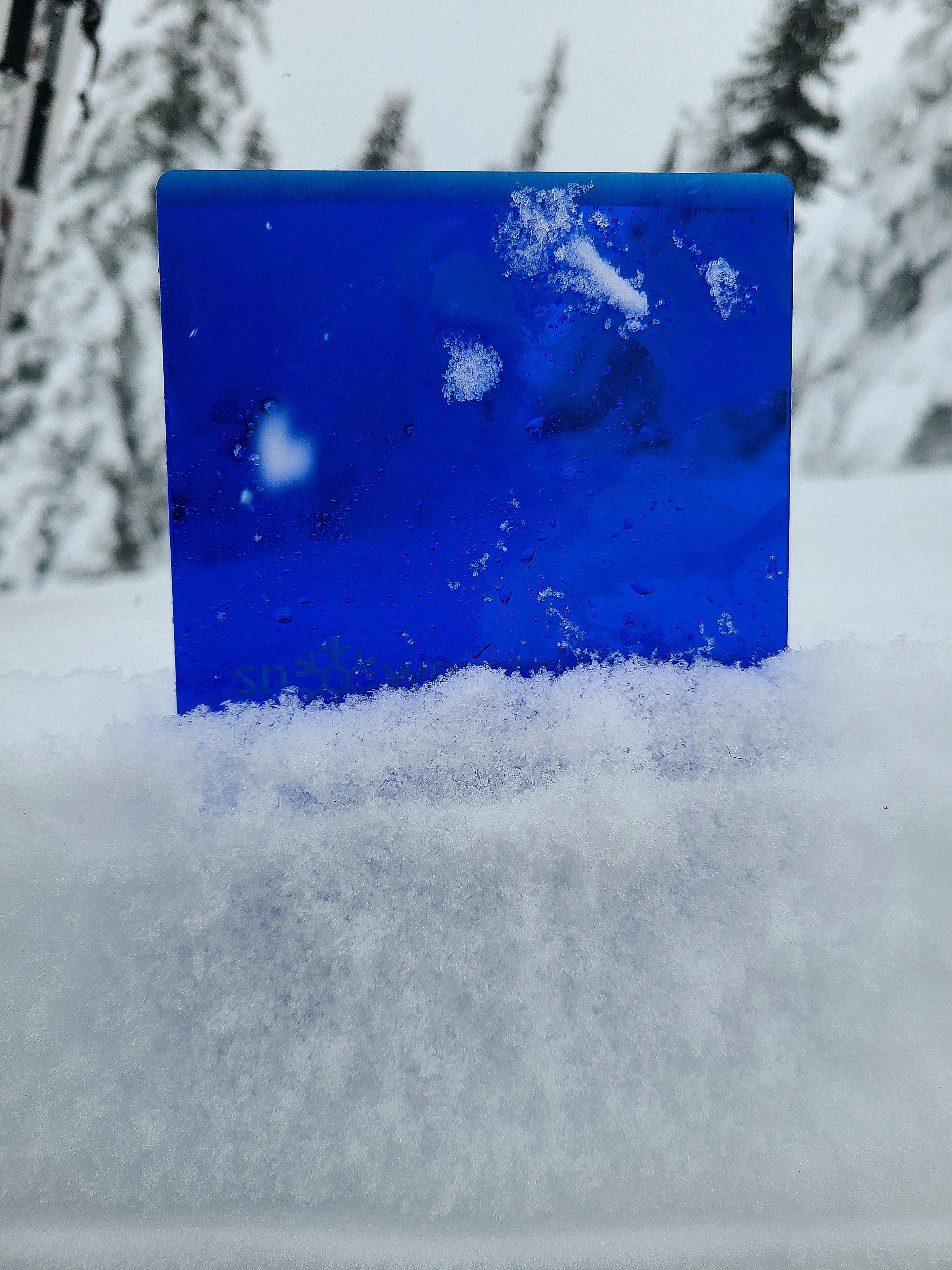
The snowpack is moderately complex with various layers of weaker and stronger snow. The base of the snowpack is a thick layer of melt forms from the December Atmospheric River event. Above this, consolidated, rounded grains extend to a layer of what appears to be melt forms (↓35cm), which are beginning to facet and weaken. Then there is another layer of rounded grains, which extends to a weak layer of faceted grains above and below a very thin melt-freeze crust (↓17cm). This layer produced moderate shovel tilt test results with clean shears and sudden compression test results. However, an extended column test did not propagate on this layer. The top of the snowpack consists of recent storm snow, increasing in hardness with depth. The surface is fresh snow that buried an intact layer of surface hoar 1cm deep.
Snowpack Test Results:
CT12 SP ↓17cm
ECTN ↓17cm